Short hike with a butterfly garden plus a side trip for viewpoints over pretty marshland.
2.5 miles, total round trip, for both hikes. Roots and a little hilly but mostly easy.
- Shorter: Only do the WHITE Trail: 1.7 miles or only Arrowsmith: 0.8
- Longer: Drive to the New Landing and Sandpit picnic areas for unmarked trails to more marshy viewpoints. Adds about 0.8 each.
- Longer: Head over to the hikers parking lot and add in another hike such as the Green Trail or a loop with Yellow, Blue, and Green.
- Nearby: John A. Phillips Preserve; Julian Capik Preserve; Henry Hudson Trail; Holmdel Park.
Hike Info:
Our two cents:
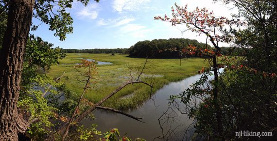
Nice short hike with some minor hills to keep it interesting. Arrowsmith has a few pretty views over the marshes and is very short and easy.
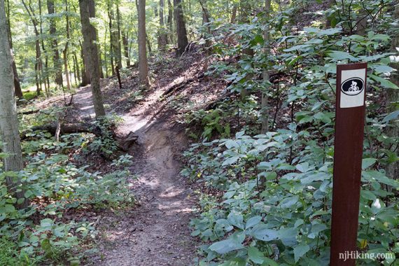
The WHITE Trail is the only bike trail in the park, so you may be sharing the trail – but we’ve never run into bikes.
Downside: prominent road noise on both trail due to the proximity of the Parkway.
Updated: 5/2023 – Minor edits, re-hiked. 1/2021 – Re-hiked, opposite direction. 2/2020 – Reorganized description; re-hiked.
Map:
Ranger station and interpretive center should have park maps or print it out ahead from the park site.
Note: The WHITE trail is slightly longer on older maps. The trail kiosk at the trailhead showed the longer version but the trail is blazed for the shorter version.
Restrooms:
Restrooms at ranger station at park entrance and seasonally at picnic areas like Spring Hill.
White Trail Directions:
Parking: N40.43851° W74.26085° [WHITE trail lot]
“Cheesequake State Park Trailhead”, 287 State Park Rd, Matawan, NJ 07747. Note: This is for the first hiker lot, this lot this hike starts at has no street address.
From the Garden State Parkway, take exit 120, follow brown state park signs. Or take Rt 34 to Cheesequake-Morristown Road and turn onto Gordon Rd, and follow into park.
Pass the gate and the ranger station, then the hikers parking on the left. At the T, turn right and the small WHITE trail lot will be on the right shortly. It holds about 7-8 cars.
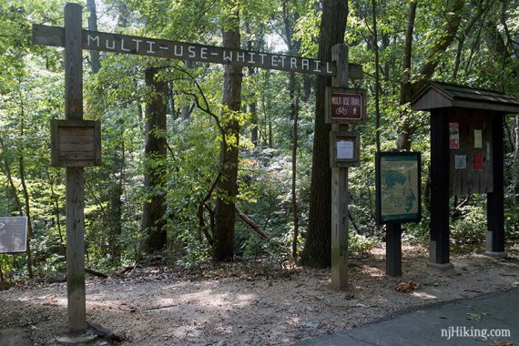
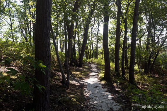
WHITE trail – There is only one trail in this area, follow the WHITE blazes.
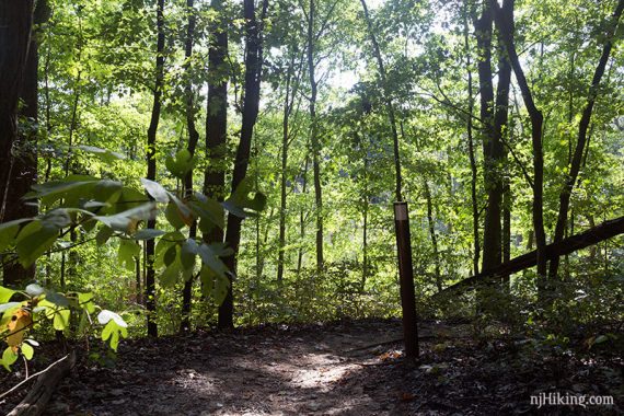
Continue ahead where there is arrow marker on a tree with a footbridge seen off on the left. The trail splits here into a loop so either way is fine.
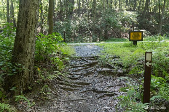
The trail continues across the road and to the left. [To do the older, now-unmarked route you’d need to turn right down the road.]
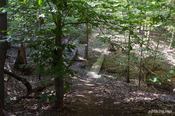
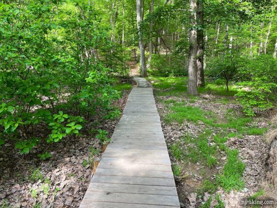
There are a few wooden footbridges.
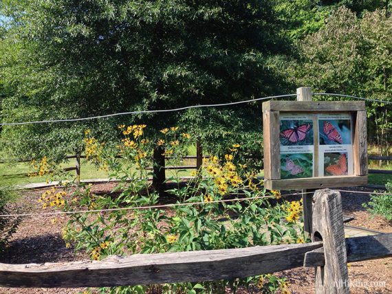
The butterfly garden requires a side trip off the trail. There may not be much to see out of season.
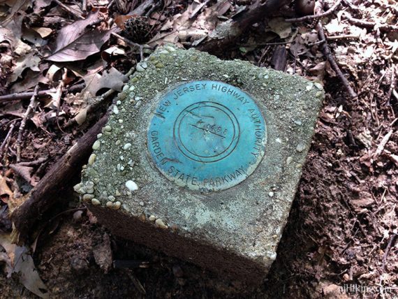
The WHITE trail skirts very close to the Garden State Parkway…
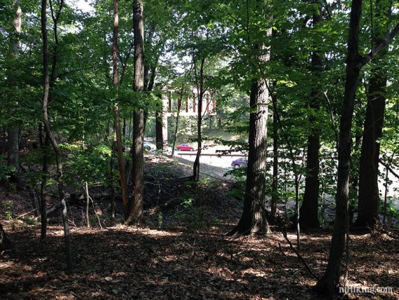
So close that there is a property marker for it.
The WHITE trail continues to loop back around.
Arrowsmith Directions:
Spring Hill lot: N40.44289° W74.26144°
For the 2nd hike, drive to the Spring Hill picnic area parking by turning RIGHT out of the WHITE trailhead lot and follow signs for Spring Hill picnic area.
The parking area is on the right side just past a restroom building.
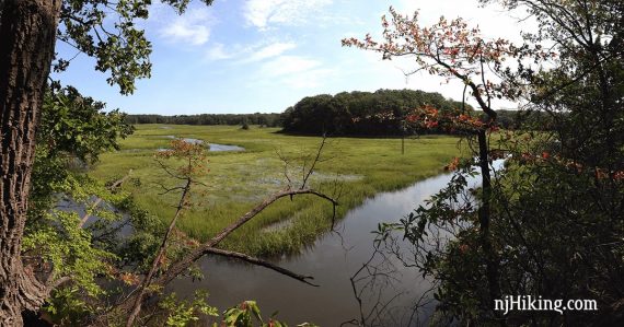
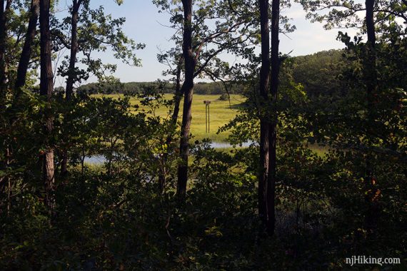
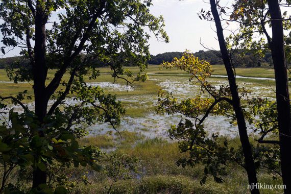
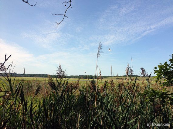
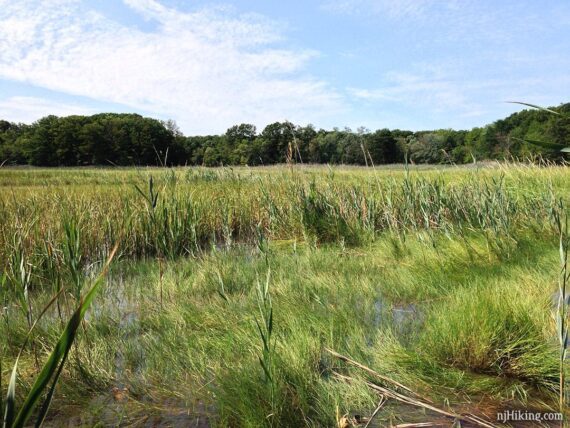
Arrowsmith Viewing Area – The trail starts at the far end of the parking lot. The wide easy sandy path has views over the marsh and osprey nesting platforms.
At the end, the trail splits – both are short dead-ends to more viewing areas. We do one then head over to the other.
The path ahead leads to an old bench and a view of an osprey platform. The photo below has a seagull in it but when we hiked here in January of 2020 a pair of bald eagles took off as we approached this end point.
We’ve seen bald eagles a few times in Jersey but this was the first time we’ve spotted them at Cheesequake. They were too quick for us to to get a photo but it was very cool to see.
In May of 2023 we spotted an adult perched on a platform with two young Osprey, and in the first nest there seemed to be at least one young. Several were soaring overhead.
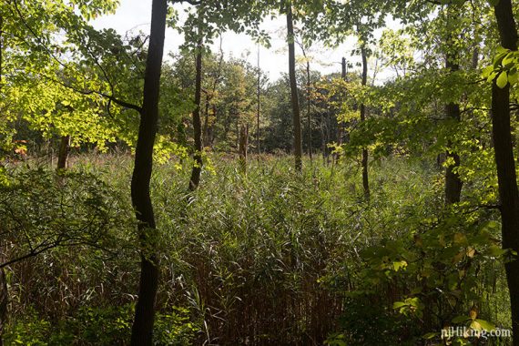
The other branch passes a picnic pavilion before narrowing to a path into the marsh grasses. We normally pop out through these and take a looky…
… but last time (5/2023) the path in the grass was concealing unexpected poison ivy so we stopped dead and spun on a dime out of there. Yikes.
Retrace the path when done.
But wait, there’s more:
Optional short jaunts if you want to explore more of the park. These short trails appear on the park maps as well.
New Landing lot: N40.44317° W74.26794°
New Landing picnic area – An unmarked trail leads past the bathroom towards picnic areas and a pavilion for more marsh views.
Sandpit picnic area – Another short unmarked trail past picnic areas for yet more marsh views.
—
Hiked: 5/14/23. White + Arrowsmith. Osprey with young in both platforms.
Hiked: 1/10/21. Reversed. Hiking almost exactly 1 year later = coincidence.
Hiked: 1/11/20.
Hiked: 9/10/16.
Hiked: 9/4/16.