Short, easy trails that are good as a mild introduction to hiking or for hiking with kids.
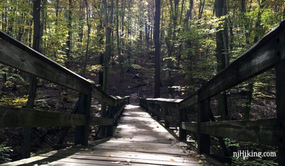
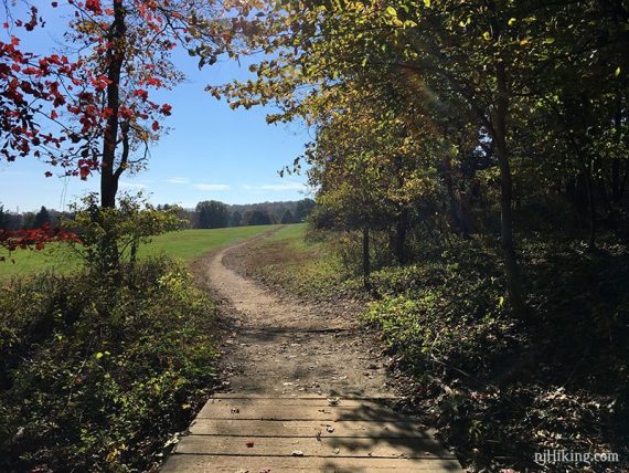
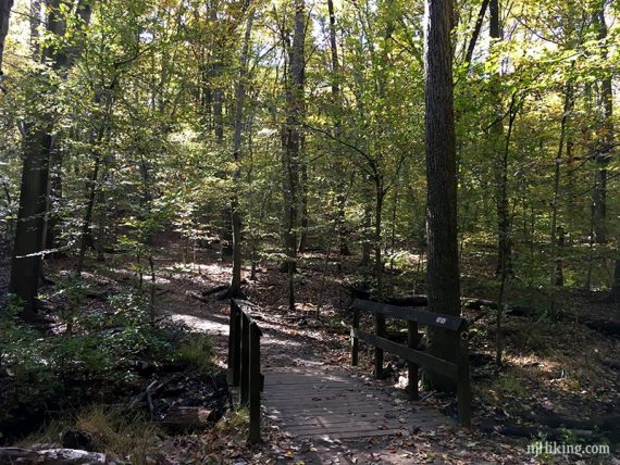
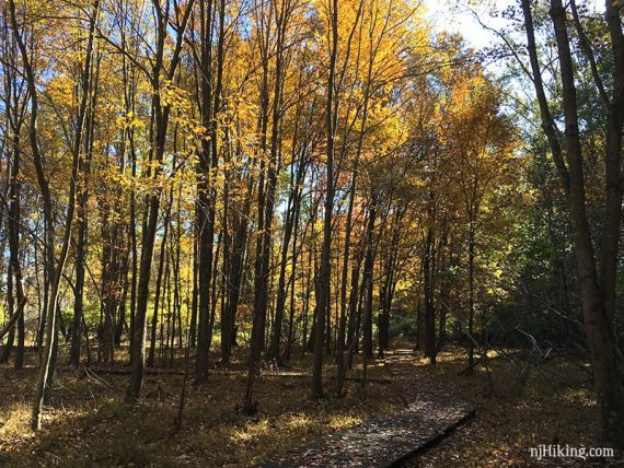
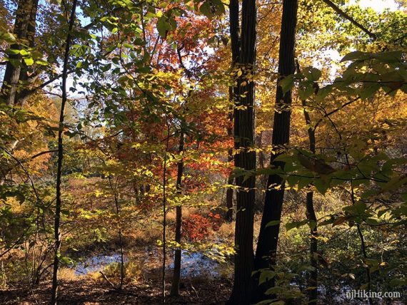
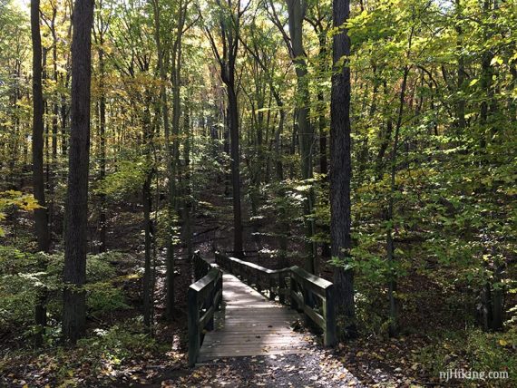
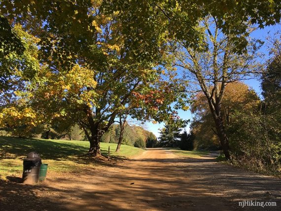
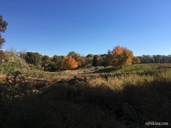
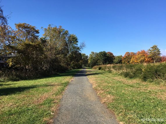
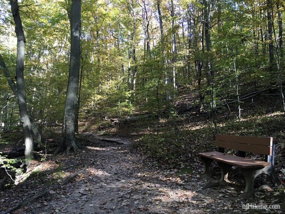
3.2 miles, easy surface with some roots, minor hills, some boardwalk sections and gravel.
- Shorter: Choose an individual trail (ranging from .5 to 1.9 miles)
- Longer: Take the left fork at the cross country trail split to extend a bit.
- Longer: Walk through the Longstreet Farm area and across Roberts Rd. to combine with the Ramanessin section.
- Nearby: Tatum Park, Thompson Park – Monmouth; Cheesequake – Green Trail; Cheesequake – Yel, Blue, Green; Cheesequake – White & Arrowsmith.
Hike Info:
Our two cents:
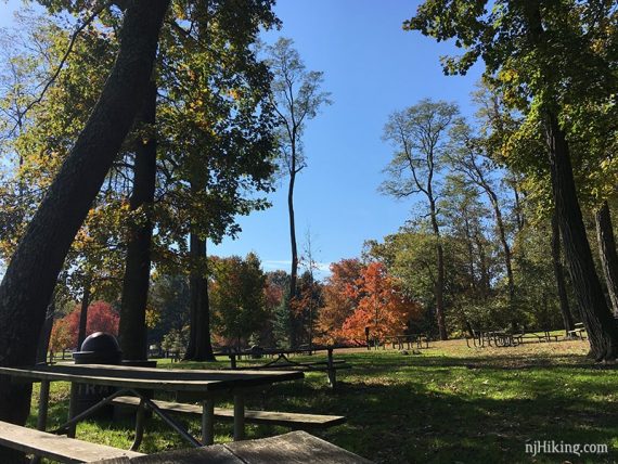
Trails are great for beginners, kids (several playgrounds), and trail runners, and it’s a good place to fit in a lunchtime walk (walk out of the Forest Edge lot and cross the park road to find an area with several picnic tables).
There’s not a lot here for an avid hiker unless you are looking for a short hike or something easy for cold/snowy weather.
Bonus: Visit the Longstreet Farms section to learn about farming in the 1890’s.
Updated: 7/2021 – Page refreshed, not re-hiked. 3/2019– new photos, updated route map. 12/2017 – Corrected, had parking coordinates for the Hill Top lot.
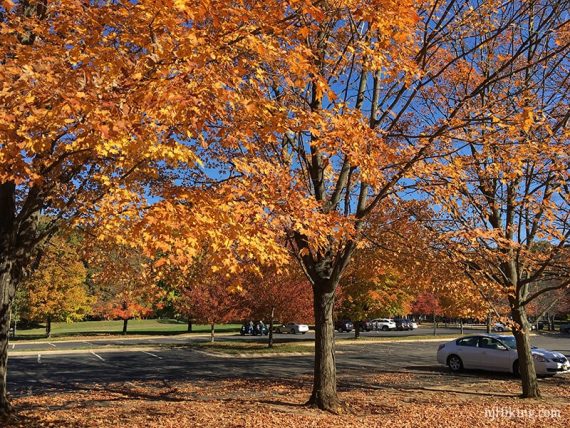
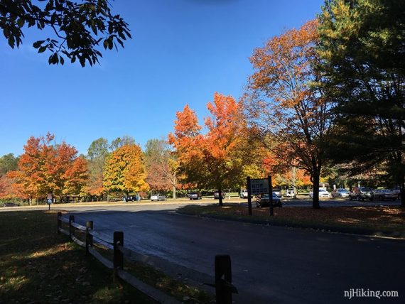
Parking: N40.37204° W74.18519°
Forest Edge lot.
Restrooms:
Seasonal restrooms at the Forest Edge lot (were closed in January). Also at Longstreet Farms parking area. Porta-john at Hill Top lot further into the park.
Hike Directions:
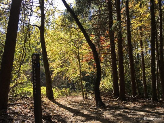
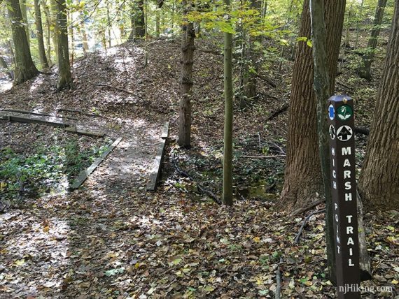
The trails are marked by difficulty and not blazed, with trail sign posts only at some intersections – this makes it tough to describe a route so we’ve given an overview and highlighted the route over the park map.
However, the park is small and a road divides it so it’s difficult to get too turned around.
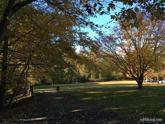
Overview: From the Forest Edge lot: Beech Glen – Cross Country – Marsh Trail – Ridge Walk – Beech Glen
Park map section with a 3.2 mile route highlighted: Holmdel North Map.
Follow the route on a smartphone – click “Interactive Map” in Hike Info box. For a GPS track, download the GPX file.
—
Hiked 11/1/18. D only.
Hiked 1/12/14. Trail Blog: “Holmdel Park – Beech Glenn to Ridge Walk“