Easy hike around the edges of grasslands and through some forested areas with plenty of birding opportunities.
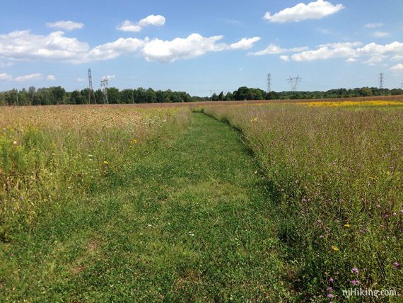
2.5 miles, surface is easy, level dirt or grass that mostly runs along fields and tall grasslands with short sections of forested trail.
- Short: BLUE from lot to wildlife blind is .68 mile round trip and ADA accessible.
- Shorter: Stay on YELLOW to PURPLE and skip BROWN.
- Longer: This route takes in the whole perimeter, so you’d have to do trails twice or also drive over to nearby Six Mile Run – Red Trail or Six Mile Run – Canal Road.
- Nearby: Butler Road Natural Area; Bunker Hill; Griggstown Grassland; Sourland Mountain Preserve; Biking: D&R Canal – Blackwells Mills to Demott Lane; and D&R Canal Kayak – Blackwells Mills.
Hike Info:
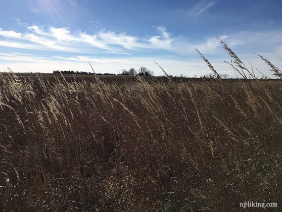
The grasslands are sensitive and endangered – don’t walk or ski/snowshoe on them.
Our two cents:
More of a walk than hike, but still good for a quick local hike with chances to spot wildflowers or birds.
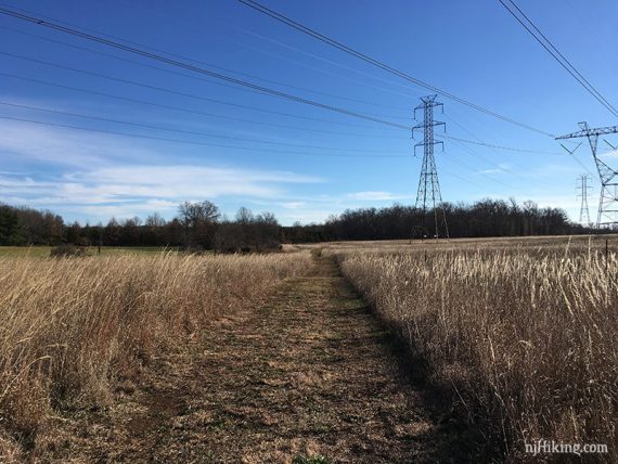
Large power lines are not only visible but are walked under in one section. Good for birding or a snowshoe option.
Updated: 7/2020: Minor updates; re-hiked 5/2020. 4/2020: Page refreshed, not re-hiked.
Map:
Print ahead or the kiosk might have printed ones.
Hunting:
None on Sundays. Complicated usage during deer season (closed to non-hunters some days or portion of days) – check the park site for rules.
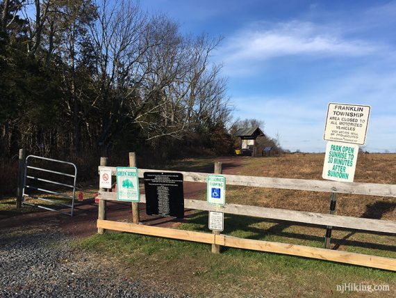
Parking: N40.47082° W74.52297°
Rt. 27 S to Skillmans Lane. (Turn at Better World Market on the corner of Skillmans and Rt. 27.)
Follow Skillmans around and just after it turns left, the small lot will be on the right.
Restrooms:
None. A Wawa is nearby at the intersection of Rt. 27 and Cozzens Lane plus there are gas stations and a variety of stores on Rt. 27.
Hike Directions:
Overview: BLUE – YELLOW – BROWN – YELLOW – PURPLE
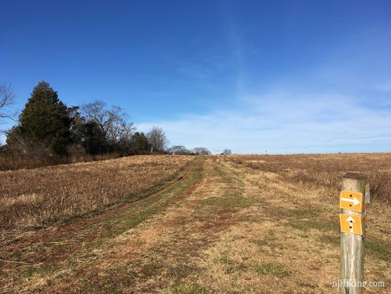
0.0 – From the parking lot, walk thru the fence towards the trail kiosk on BLUE.
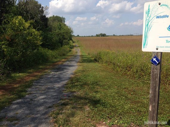
0.3 – Continue straight past a large wildlife blind (go check it out first). The trail is now YELLOW.
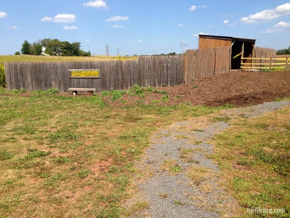
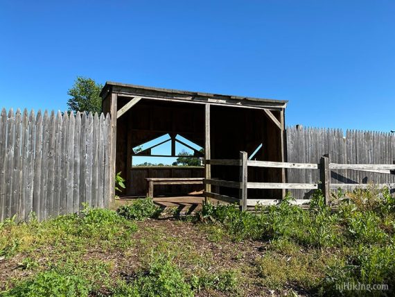
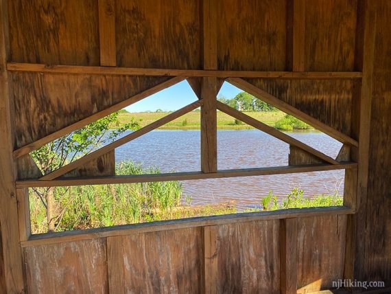
View from the wildlife blind.
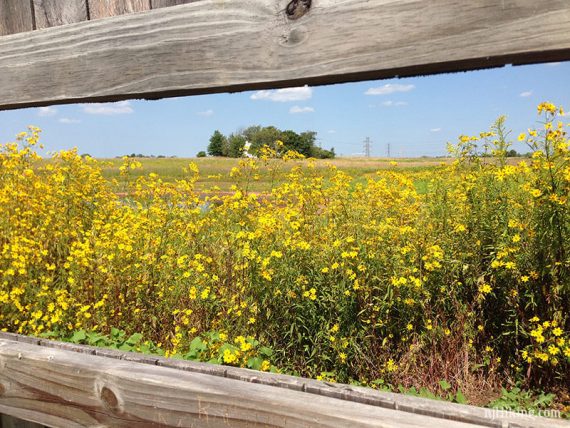
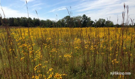
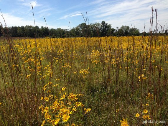
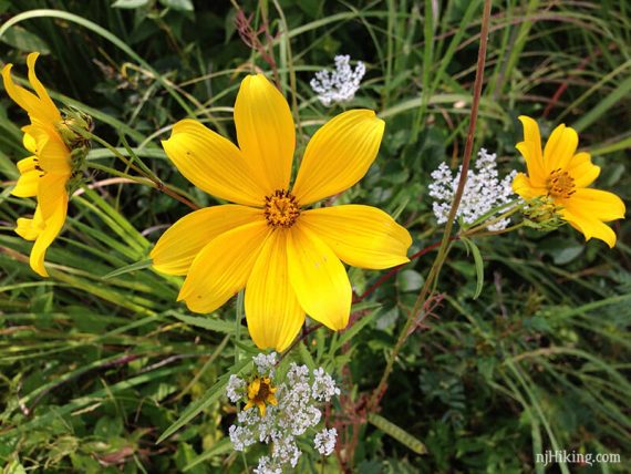
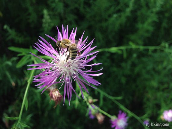
In the right season, there are plenty of wildflowers along the way.
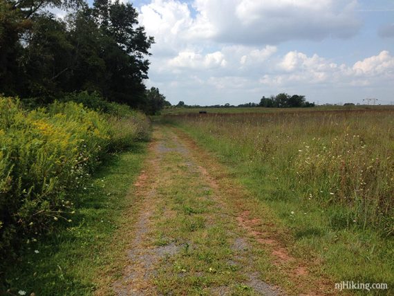
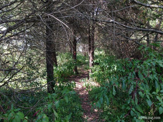
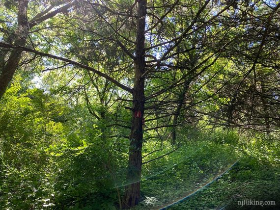
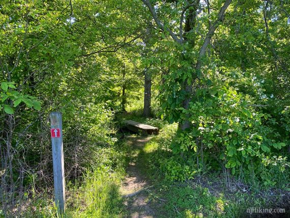
0.6 – Continue on YELLOW as it briefly enters the forest. It’s a nice little section but it could be bypassed by sticking to the field edges.
This short section is slightly confusing as there are also RED markers (not indicated on the map) and the trail loops back on itself if you aren’t paying attention.
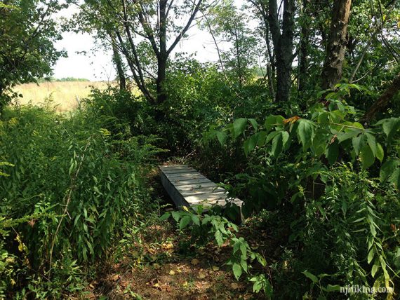
Cross a small wooden footbridge before returning back to field edges.
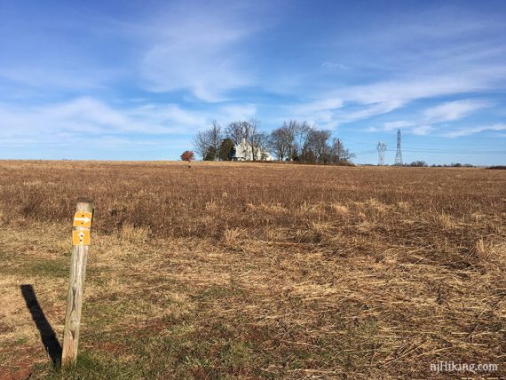
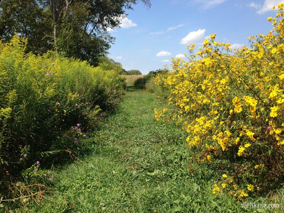
Continue on YELLOW on mowed paths, past grassland, and then under power lines. Shown in summer and winter:
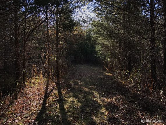
1.3 – Veer LEFT into the forest again and cross a plank bridge at the junction of YELLOW, BROWN, RED – however we didn’t spot the BROWN marker at this intersection anymore, it’s further in.
/// Shorter: keep on YELLOW instead and take that back to PURPLE. ///
Follow BROWN to loop around this section.
The trails in this area don’t quite seem to match either trail map and it may be a tad confusing. Basically… BROWN makes a loop around and RED cuts through the middle of BROWN.
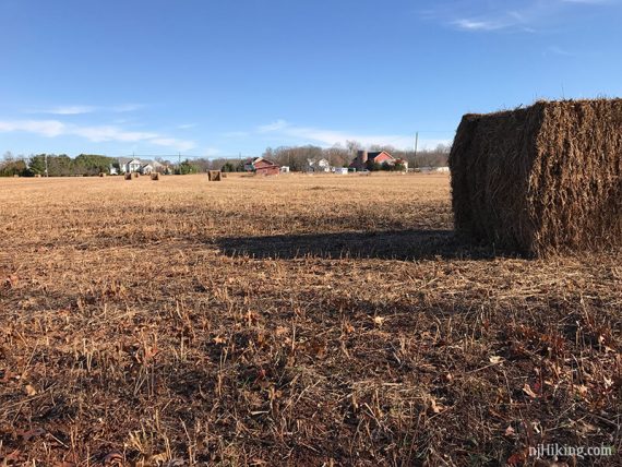
1.5 – BROWN comes out to a farm field. Turn RIGHT.
Shortly, turn LEFT to follow along fields again. [If you continue towards the woods, that’s the other end of the RED trail from just earlier.]
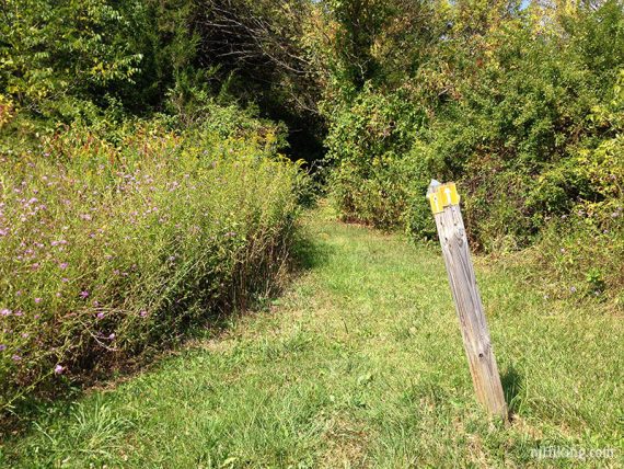
1.9 – Turn LEFT and now follow YELLOW.
2.0 – Turn LEFT and now follow PURPLE back to the parking lot.
—
Hiked: 5/31/20.
Hiked: 12/4/16.
Hiked: 8/31/15.
Hiked: 7/6/15.
Hiked: 11/7/14.
Hiked: 10/3/14.
Hiked: 9/17/14.
Hiked: 9/2/14.