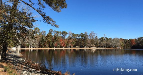
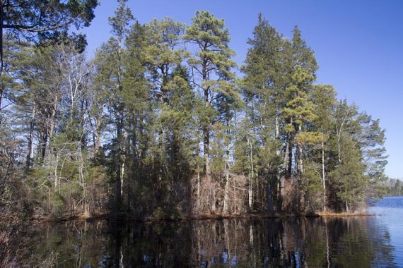
Hike in southern New Jersey’s Pine Barrens from Lake Nummy, past East Creek Pond, and through stands of Atlantic white cedar.
7.2 miles. Easy, flat, packed sand trails. Negligible elevation changes.
| 7.2 miles | This hike guide: Detailed instructions, photos, and video follow below. |
| Shorter, this trailhead | 4.7 or 3.3 – “Belleplain – East Creek and Sunset Road Loop“ |
| Shorter | Several trails around Lake Nummy, all under 1-mile: Nature Trail (.89m), Meisle (.61m), North Shore Trail (.72m), Goosekill Trail (.28m) plus many wide sand trails and paved park roads. |
| Alternate, shorter: | – Add an out-and-back to Pickle Factory Pond on the Ponds Trail for an extra 2.2 miles. – Start at the Forest Office and use one of the trails around Lake Nummy to extend the route. |
| Nearby | Estell Manor Park; Commercial Township Wetlands; Peek Preserve; Maurice River Bluffs; Corson’s Inlet State Park. |
Our 2-cents:
This trail is rated “strenuous due to length” in Hiking New Jersey (2023) – but the trail surface is easy, so if you average 5 or 6 miles in rugged north Jersey, you probably could swing the 7.2 here. (just our opinion, your results may vary!!).
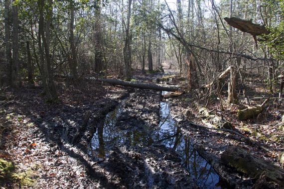
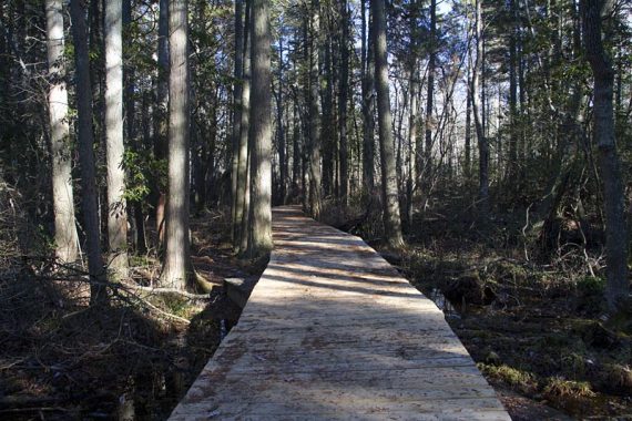
There are several long boardwalks over wet areas, but also a few deep wet areas without them that were tricky to cross. Half-way through the hike, you must walk along the shoulder of busy Rt. 347 for about .4 mile or so.
Not into a long hike? A shorter loop can be made by using a park road (Sunset on our GPS, but not named on the park map…) and a sand road (Tom Field on the map).
This cuts off the lower half of the East Creek loop – you’ll still see Lake Nummy and get a nice hike in while being under 5 miles.
Ticks can be insane in the Pine Barrens in summer… be sure to take precautions from ticks or visit in winter like we prefer to!
Updated: 1/2025 – Page refreshed, not re-hiked. Older change log at page bottom.
Hike Info:
Map/Books:
Print out ahead or pick up a park map at the Forest Office. The interpretive center at Lake Nummy was not open, but they may have maps in season. Follow along on your smartphone with our Interactive Map link above.
This 7.2m route with detailed instructions and a trail map can be found in 50 Hikes in New Jersey and Hiking New Jersey (2023), and a longer route is in Best Day Hikes in New Jersey. The park is briefly mentioned in the The New Jersey Walk Book.
Parking: N39.24503° W74.85780°
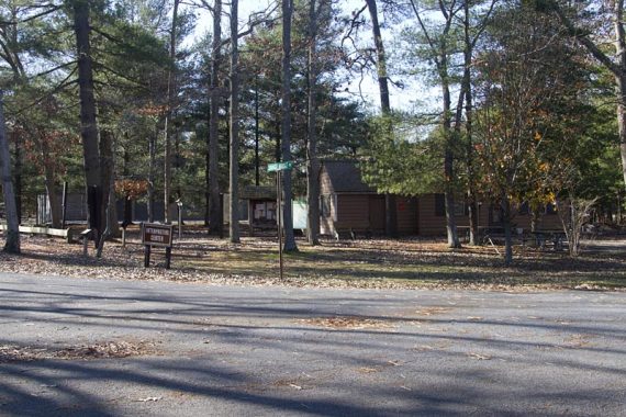
299 Savage Bridge Rd, Woodbine, NJ 08270. The Lake Nummy trailhead is reached by continuing past the Forest Office (Belleplain State Forest, 1 Henkinsifkin Road, Woodbine, NJ 08270), and turning right onto Miesle Road towards Lake Nummy.
Turn left onto Savage Bridge Road where there are a few parking spots by the Interpretive Center. ***Google may direct you to use interior park roads that could be gated.
To the Forest Office:
- From the Garden State Parkway: exit 17 southbound to Routes 9 and 550 or exit 13 northbound. Follow the highway signs to the forest.
- From Rt. 55 South: Take 55 South until it ends and becomes Route 47. Bear left onto Route 347 when it splits and Route 47 is to the Right. Continue along Route 347 for 5.5 miles and turn Left onto CR 550/Spur/Hands Mill Rd. (This turn is around a bend, just after you pass Hands Mill Pond.) Follow CR 550/Spur/Hands Mill Rd. for 3.25 miles to a Stop sign, and turn Left. Turn Right at the blinking light, and the entrance is located approximately 2 miles ahead on the Right. The office is immediately to your Right upon entering.
Other lots: N39 13.408 W74 53.199 [East Creek Pond parking area, off of Rt 347]. The East Creek trail can be picked up at the other end of the pond to do the route another way. Room for a few cars. There is also a parking area at Pickle Factory Pond.
Fee: from Memorial to Labor Day. Check our NJ State Park Pass page for more info. There are small lots outside of the fee area, you could start there instead.
Restrooms:
Inside the Forest Office. The interpretive center at the Lake Nummy parking area was closed when we visited – so potentially there are bathrooms in there in season.
There are buildings on the other side of Lake Nummy that are marked as bathrooms on the map, they may be seasonal. None at the East Creek parking area off of Rt 347.
Hike Directions:
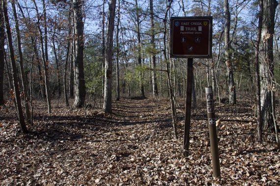
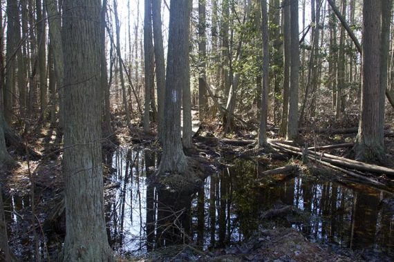
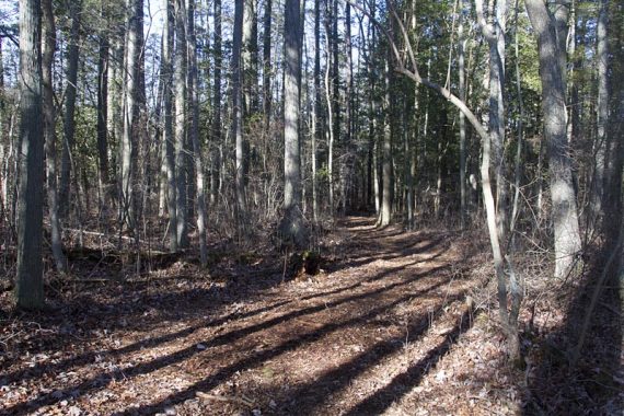
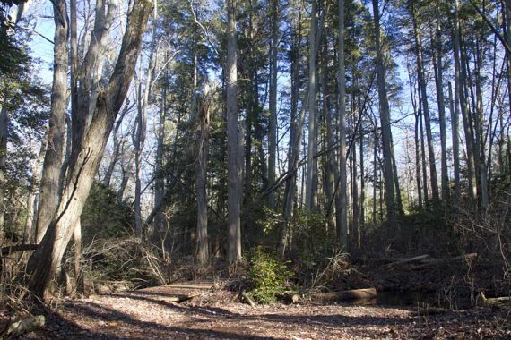
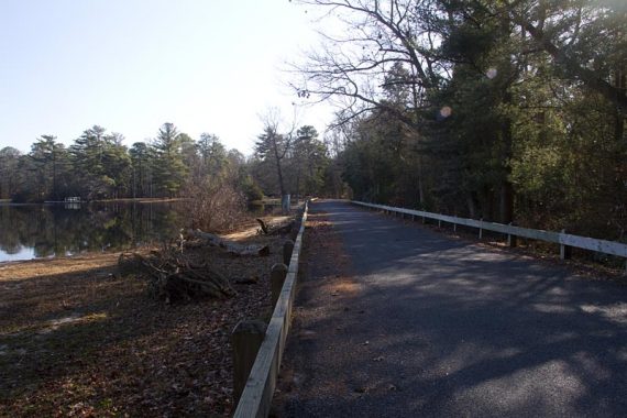
This route starts from the Lake Nummy parking area and follows the WHITE markers of the East Creek Trail the entire way. There are unmarked trails that are passed, but the WHITE trail itself is pretty well-marked and easy to follow.
0.0 – The trailhead wasn’t real obvious from the parking spots. When facing the interpretive center with your back to the water, head to the right down the road.
In just a bit, turn LEFT at the sign for “recycling/trash” and you’ll see the East Creek trailhead sign.
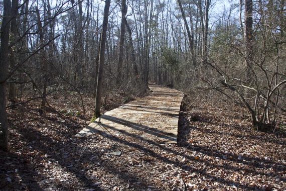
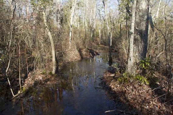
Possible wet areas to cross.
1.0 – Cross paved Sunset Road.
3.0 – Arrive at Rt. 347. Turn RIGHT and walk north, along the grassy shoulder. Pass the driveway for East Creek Cabin, and then East Creek Pond.
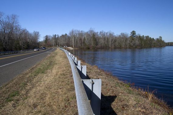
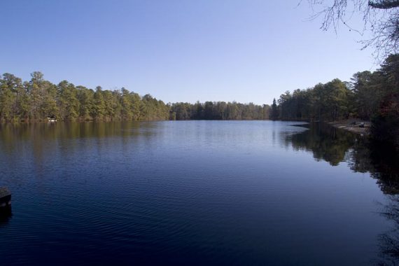
3.4 – Arrive at East Creek Pond parking/boat launch. Turn RIGHT to re-enter the forest at the interpretive signs and continue on the trail. [Across Rt. 347 is the trailhead for Ponds Trail]
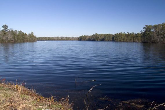
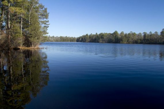
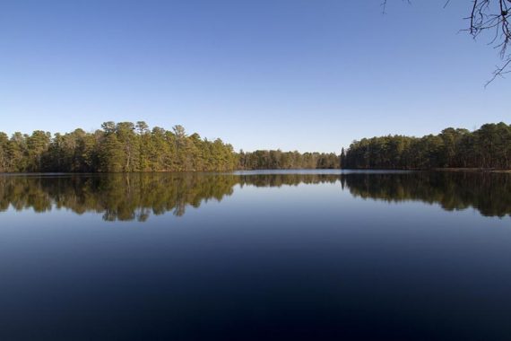
3.5 – The trail comes to the edge of the pond for a nice view of the pond – the only spot on the trail that gets this close to the water.
4.5 – Cross Tom Field Road.
5.2 – This area can be super wet. If it is, walk out to the dirt road that parallels the trail, walk past the wet area, and then get back on the trail.
There was a bit of a trail worn in the brush from others doing the same. The trail and not a stream:
5.4 – Cross paved Sunset Road.
5.8 – Cross dirt road.
5.9 – Cross dirt road.
6.3 – Cross road.
7.0 – Turn RIGHT on the park road, towards Lake Nummy, the Interpretive Center and the parking lot.
—
Hiked: 11/5/16. Variation, opposite dir: “Belleplain – East Creek and Sunset Road Loop“
Hiked: 12/11/11. Trail Blog: “Belleplain State Forest – East Creek Trail“
Updated: 7/2020 – Page refreshed, not re-hiked. 1/2017: Added link to a new page for a shorter route. 11/2016: Updated map links, added info for a shorter loop. Entire East Creek Trail was not rehiked.