Long hike in the northern part of Pyramid Mountain Natural Area around Butler Reservoir.
Miles: 8.5. Trail is mostly moderate, some steep sections, rocks. There were some very wet sections, but we’d had an unusual amount of rain right before our hike.
- Nearby, same park: Pyramid Mountain – Tripod Rock; Valhalla Falls – Turkey Mountain; Turkey Mountain- Perimeter Loop.
- Nearby: Tourne County Park; Four Birds Trail – Wildcat Ridge; Four Birds Trail – Splitrock Reservoir; Splitrock Reservoir Loop.
Hike Info:
Our 2-cents:
This isn’t a hike for a beginner or to put at the top of your “must-do” list, but maybe give it a shot.
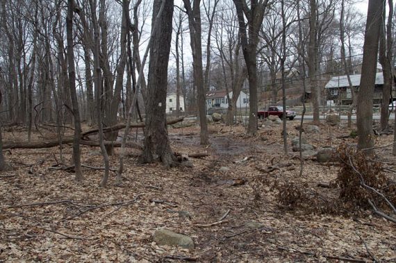
The reservoir and Pyramid sections are really pretty, but the trail runs near a lot of houses (less visible when the leaves are on the trees), and there is a lot more road walking than we like… you literally walk on several streets through a neighborhood.
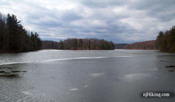
Butler Reservoir is also known as Kakeout Reservoir.
Updated: 7/2020: Page refreshed, not re-hiked.
Map:
Use the park’s map linked above. This park is included on Morris County Highlands Trails but the current (2017) map is now outdated. *Only the section of this route excluding Butler Reservoir is covered on the park’s map.
NOTE! This park has made changes to trail names/colors that may affect this hike. The description below has not been updated to reflect these changes.
Books:
Trail descriptions appear in the The New Jersey Walk Book.
Parking: N40.96810° W74.36515°
This hike starts at the Boonton Ave. Recreation Fields, on route 511, northeast of the Pyramid Mountain visitor center lot.
The GREEN trail from this lot leads into the main trail area of Pyramid Mountain and could possibly be used as an alternate entry into that very popular area.
From this lot, follow GREEN to WHITE, turning LEFT onto WHITE (instead of RIGHT for this hike) and this will lead to Tripod Rock etc.
Restrooms:
The bathrooms in this lot are probably only open when games are being played; there are facilities at the Pyramid Mountain visitor center.
Hike Directions:
Overview: GREEN – right on WHITE – BLUE w/ WHITE STRIPE – LEFT on BLUE – RED w/ WHITE STRIPE – LEFT on WHITE – GREEN
0.0 – The GREEN Trail starts in the north corner of the parking lot, by a gate.
0.7 – GREEN ends at WHITE. Turn RIGHT, now following WHITE.
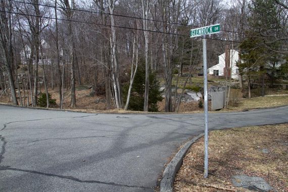
1.1 – Come out of the woods and into a neighborhood, following the WHITE blazes while walking along the street.
Make a right three times as you make your way through the neighborhood.
1.5 – Turn LEFT back into the woods, following WHITE.
1.8 – The trail comes to Fayson Lake Road and appears to end, but you need turn LEFT and walk down the street and bit, then turn RIGHT. Follow the markers down the road.
2.0 – Turn LEFT off of the road and back into the woods, continuing on WHITE.
2.8 – The WHITE trail turns LEFT. This turn was hard to spot when we hiked this.
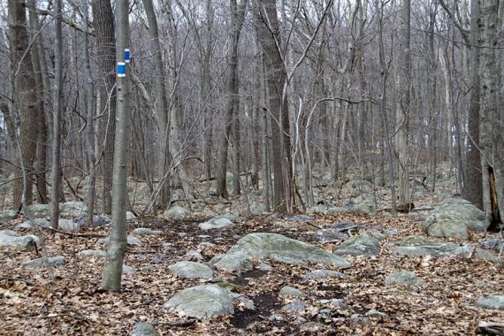
3.0 – Turn LEFT, and start following BLUE w/ WHITE STRIPE. There is a rock cairn and a sign for the visitor’s center. [WHITE goes straight]
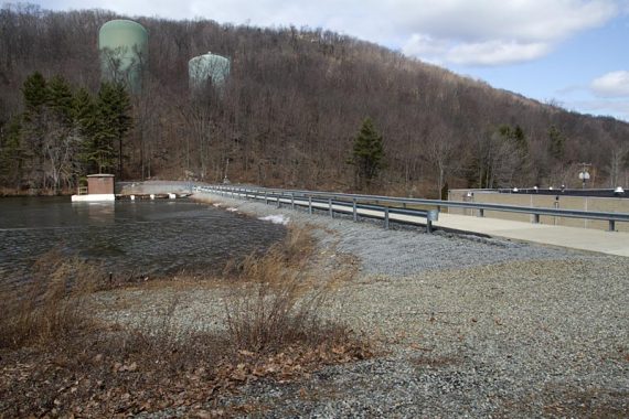
3.3 – Turn LEFT after crossing over a causeway and start following BLUE.
[BLUE w/ WHITE STRIPE ends. The road on the right goes to a parking area off of Kakeout Rd.]
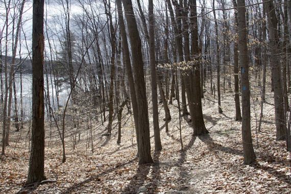
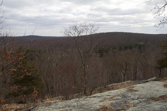
The BLUE trail hugs Butler Reservoir for nice views. We stopped for a snack on a rock.
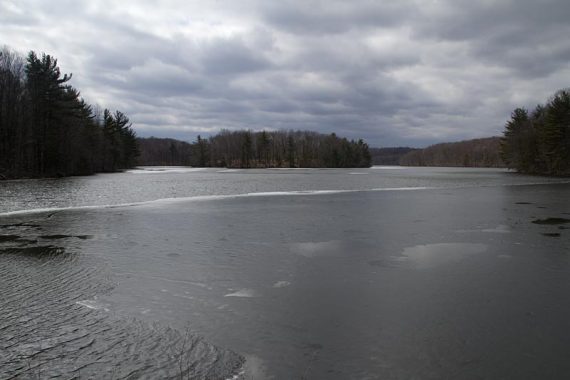
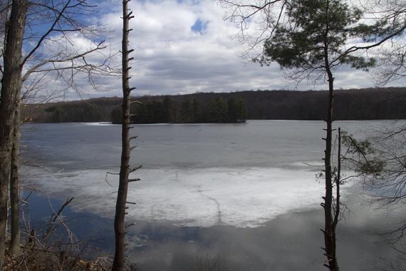
The BLUE trail continues around the reservoir.
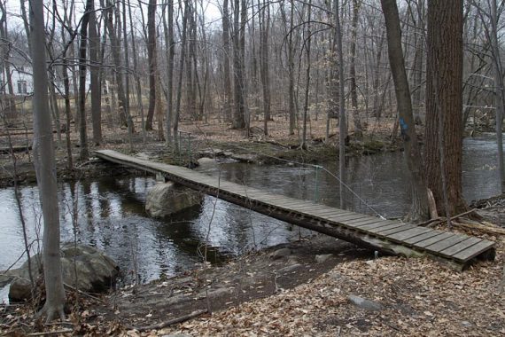
Cross a long bridge on the BLUE trail.
5.0 – Cross Fayson Lake Road. Continue following BLUE.
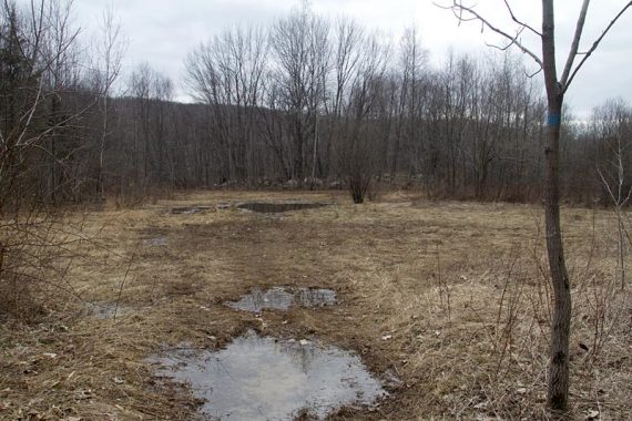
Go through some wet areas in a field (could be seasonally wet, or maybe all the time. It was very squishy for us) Continue following BLUE.
5.7 – Turn RIGHT and follow the trail down the road (Miller Road) for a bit, before it turns RIGHT back onto the trail.
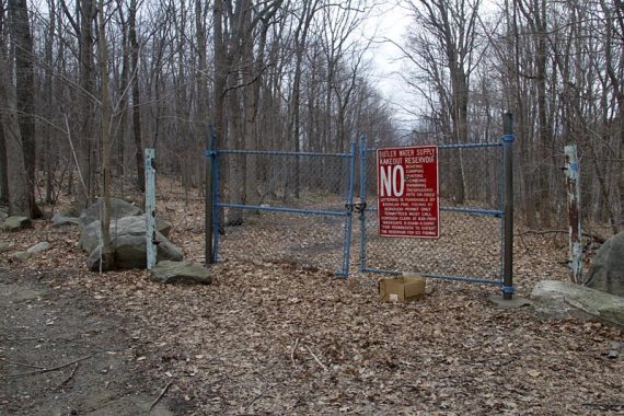
(There is a gate for the reservoir with BLUE blazes on the poles)
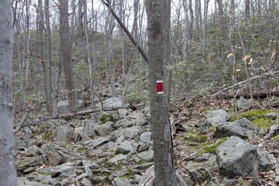
6.7 – Start following RED w/ WHITE STRIPE. [BLUE continues to the Visitors Center. You are now in the northern part of Pyramid Mountain]
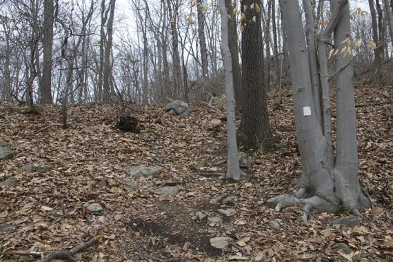
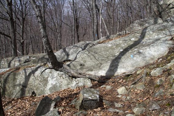
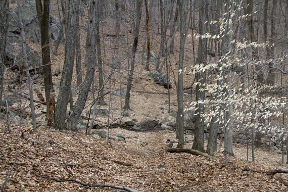
The trail heads steeply uphill over a lot of rocks.
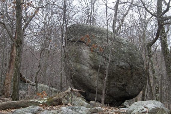
6.9 – Pass a large glacial erratic, “Whale Head Rock”.
7.4 – Turn LEFT, now following WHITE. [RED w/ WHITE STRIPE ends]
7.6 – Check out the view at the start of the ORANGE trail, then turn LEFT and continue on WHITE. [ORANGE leaves to the right].
7.8 – Turn RIGHT onto GREEN and follow that back to the parking lot.
—
Hiked: 3/13/11. Trail Blog: “Butler Reservoir and Pyramid Mountain Natural Area“