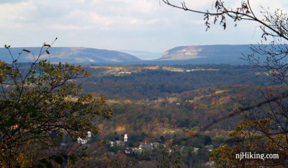
A long hike over the ridgelines of the Jenny Jump Mountains to Lake Just-It.
11.4 or 6.2 or 3.4 miles. Trail surface is easy to moderate, not that rocky, it’s mostly on old woods roads. There are a few hills that are a steep later on in the hike.
- Shorter: Easy 3.4 miles round trip to the 2nd viewpoint and back.
- Medium: Moderate 6.2 miles to the stream crossing noted below, and back.
- Longer: Use the trail map to take the trail further, to Rt. 617.
- Nearby: In another section of this park: Jenny Jump – Ghost Lake.
- Also Nearby: Allamuchy Mountain – Deer Park; Stephens State Park; Allamuchy Mountain S.P. North – Waterloo Trail.
Hike Info:
Notes:
7/2020: Page refreshed, not re-hiked.
7/12/19 – We’ve gotten an update that the viewpoint of Mt. Tammany, Mt. Minsi, and the Delaware Water Gap in the distance early on in this hike – the highlight of this trail – is now non-existent due to overgrowth. [Thanks to Amy for the update]
6/10/14 – Trail conditions remain poor, the viewpoints are a little hard to find, and the section that continues past this hike, from Lake Just-It to Mountain Lake has no views of Mountain Lake and is just wet and buggy. [Thanks to TJK for the update]
11/5/13 – We’ve gotten a report that this trail is overgrown, in several spots large trees have come down over the trail which then requires working your way around through the underbrush, and overall is a very poorly maintained trail.
The second view point spur trail is no longer marked by a rock cairn because it was knocked over. [Thanks to Michael P. for the update].
10/15/11 – The trail was overgrown in many areas (ouuuch thorns) when we went (2011), but the trail may not have been officially open/completed yet.
Our two cents:
To the viewpoint and back WAS the highlight of this hike, so if that is what you are looking for then you might want to skip this hike.
We’ve left the directions intact below as we’ve not re-hiked to confirm the conditions, and they could always improve.
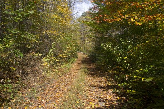
The rest of the trail has no views but is in a nice forest that has feels remote, even though you pop out and cross country roads a couple times.
It’s great to have a long option in this park in addition to hiking Ghost Lake in the other part of Jenny.
Map:
Print the park map or pick one up at the visitor center.
Books:
A shorter version now appears in Best Day Hikes in New Jersey – though the map diagram and parking seem off.
Parking: N40.91207° W74.92133°
Rt 80 to exit 12 (Hope/Blairstown). There are several brown and white park signs marking the way.
Rt 521 S. Turn left onto 519 at the blinking light. Take the third road on the right, Shiloh Road. Turn right in about a mile onto State Park Road.
Park entrance is less than a mile on the left (follow this for the restrooms), but for this trailhead… don’t turn left there. Go just past it and bear right into a large lot.
There is one easy-to-spot trailhead sign at the end of the lot. There are also other parking areas along the Jenny Jump Trail that are marked on the map.
Restrooms:
Comfort station in the other trail parking lot, as noted above.
Hike Directions:
Overview: This route is entirely on the Jenny Jump Trail (BLUE), out and back. The trail is well marked and there aren’t any other marked trails that you pass.
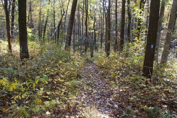
When we hiked this, there were handy “you are here” maps along the way.
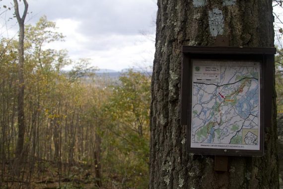
0.0 – The trailhead is at the far end of the parking lot.
0.3 – A WHITE trail comes in from the LEFT. You’ll see WHITE markers along with the BLUE now. This WHITE trail doesn’t seem to be on the park maps.
1.1 – Cross a woods road by turning LEFT then immediately RIGHT. Keep following the BLUE markers.
1.4 – First viewpoint, with limited views.
1.7 – Turn RIGHT on a short spur trail to the 2nd viewpoint, with a great view of the Delaware Water Gap and the town below. The trail is marked with a rock cairn.
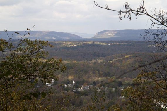
/// Shorter: Turn back at the 2nd viewpoint for a 3.4 mile round trip hike. ///
The trail starts heading steadily downhill, then levels off. Shortly after that is an easy rock hop over a stream.
2.2 – Watch for the BLUE markers indicating a RIGHT turn. Ignore the woods road straight ahead, that has an old blue marker.
Approaching one of several road crossings (not busy):
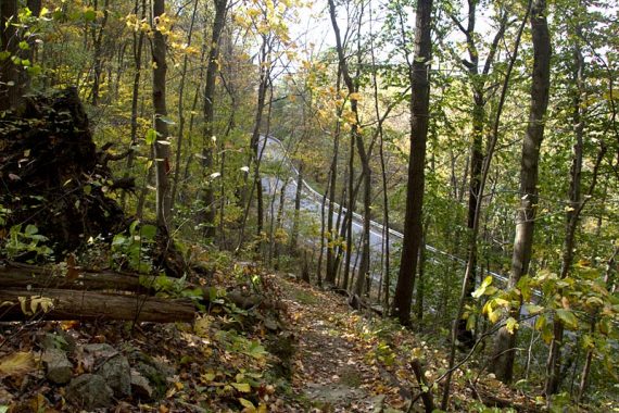
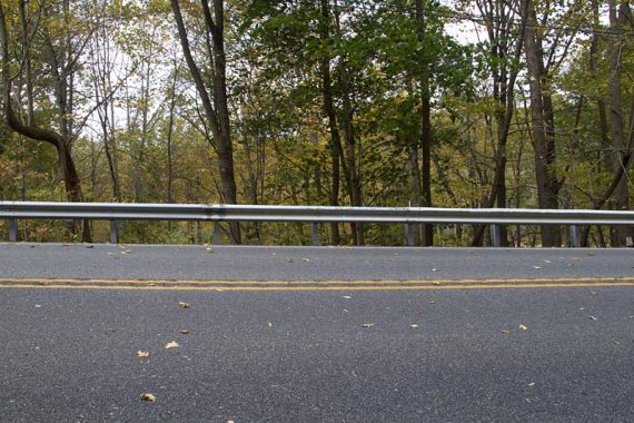
2.7 – Head down stone steps to the road. It’s not clear what to do here, look across Hope Great Meadow Rd. and to the right to find the BLUE marker painted on the guardrail.
Climb over the rail and go steeply down the bank.
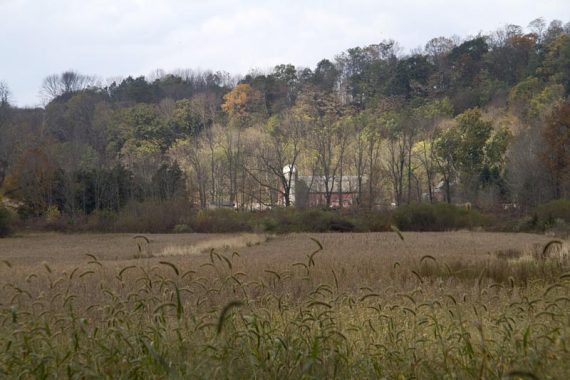
The trail turns to the LEFT and runs along side a field. A farm house and silo can be seen across the field.
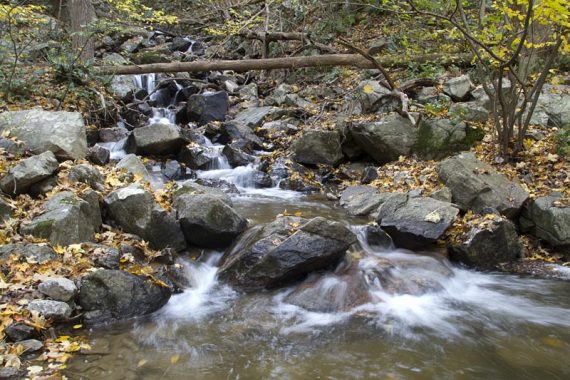
3.1 – Rock hop across a stream with nice water cascades.
/// Shorter: Turn back at the cascades for a 6.2 mile round trip hike. ///
4. 0 – Cross Hissim Road. The trail map indicates parking here, there would be room for a few cars along the road.
Continue, eventually crossing a power line cut.
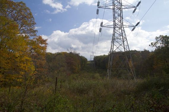
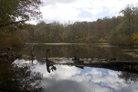
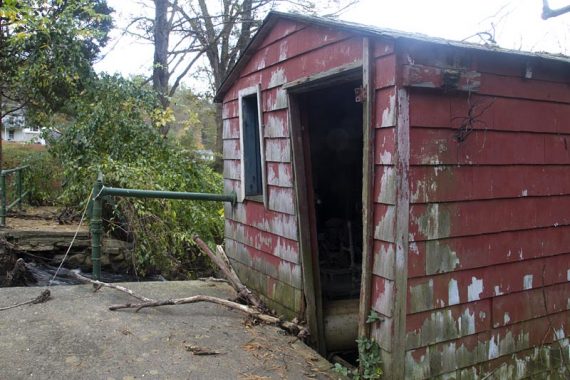
5.6 – Smallish Lake Just-It is on the left, with a little dam and a small old red building.
This is getting near the road and houses are visible. It makes an OK break spot but it’s not that scenic.
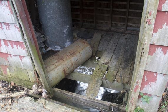
5.7 – Lake Just-It Rd. The trail map indicates parking here, and while there would be room for a few cars, there wasn’t really an indication you could park.
Retrace the route back to the lot.
/// Longer: According to the map, the trail continues down the road to the right if you are so inclined. It didn’t look all that interesting to us, so we decided to turn around here and wander around the lake a bit.
—
Hiked: 10/15/11 Trail Blog: “Jenny Jump Trail in the Fall“