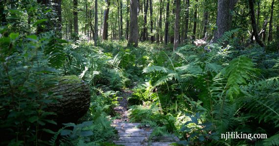
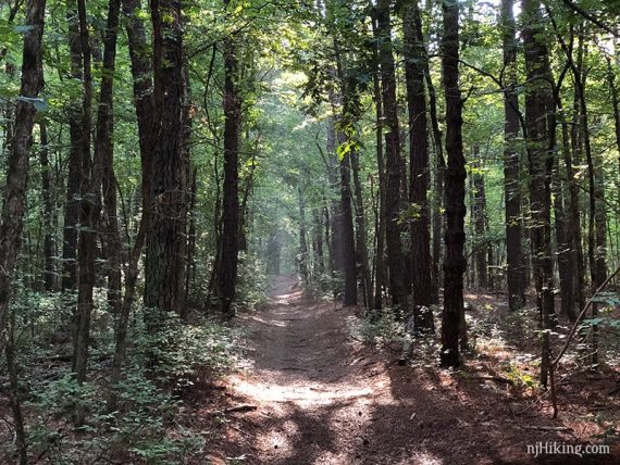
Small county park with a very nice trail system through a pine forest with several short, easy loops – or combine all for a 5.0 mile hike.
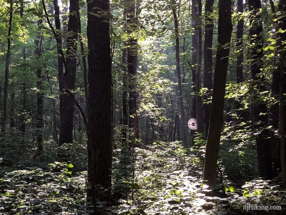
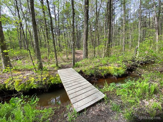
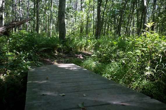
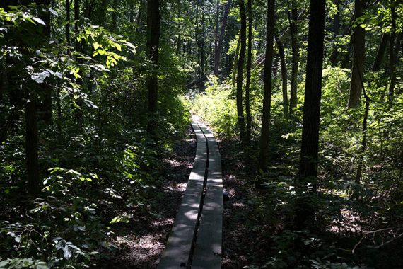
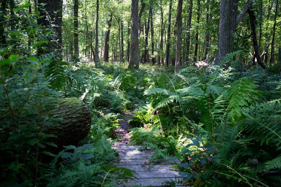
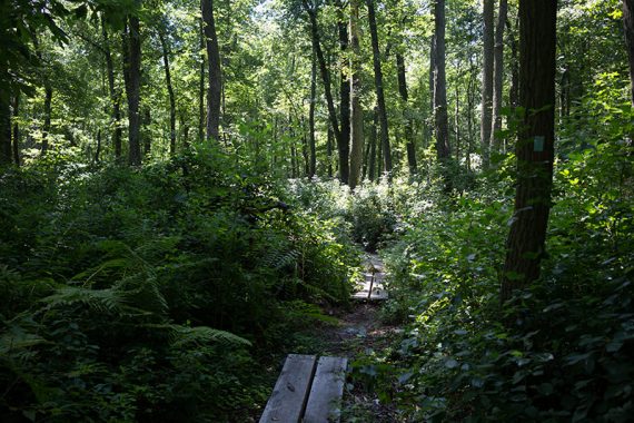
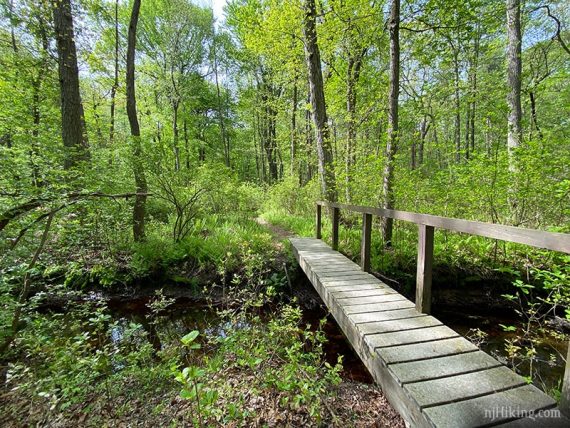
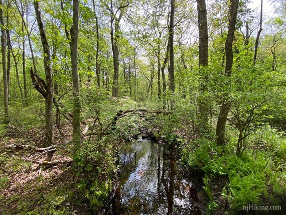
5.0 or 4.0 or 2.7 miles. Very easy: level and soft pine needles, with boardwalks to cross brooks and wet areas. Some overgrown grassy areas after crossing Pleasant Valley Road.
- This route: 5.0 (the longest route we could put together without doing the out-and-back spur trails.)
- Shorter: 4.0 miles, noted below.
- Shorter: 2.7 miles. Cut over on ORANGE and don’t take BLUE across the road, noted below.
- Longer: The only way to increase the length is to add out-and-backs on spur trails like Pine Glen and the unmarked sand trails.
- Nearby: Cheesequake – Green Trail; Cheesequake – Yel, Blue, Green; Cheesequake – White & Arrowsmith; Helyar Woods; Julian Capik Preserve; Thompson Park – Middlesex County; Thompson Park Conservation Area; Henry Hudson Trail.
Hike Info:
Our 2-cents:
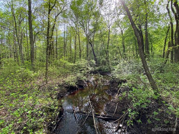
If you are in the area it’s a nice park to get an easy hike in with the option to do a shorter loop. The trails can get filled with long stretches of deep water after a heavy rain.
Hunting: There is no hunting north of Pleasant Valley where this hike starts, but after crossing to south of Pleasant Valley Road, it is allowed in season.
Updates: 2/2022 – Minor edits, re-hiked short version. 7/2020 – Minor tweaks, added photos, re-hiked full route 5/2020. 2/2018 – Map link. 3/2017 – Added trail sign note. 8/2015 – Revised hike directions and GPX; new photos.
Map:
Print out the trail map before you go: sometimes there are maps in the kiosk at the trail head, sometimes not.
Parking: 40.382433,-74.349483
229 Maple St, Old Bridge, NJ 08857. From the park’s website: Route 18 South. Go approximately 8-1/2 miles. Make a right at Maple Street. Park entrance is at the end of Maple Street.
Restrooms:
Around the back of the building by the playground.
Hike Directions:
Overview: Nature Trail (YELLOW) – Pleasant Valley Trail (WHITE) – Blueberry Flats (ORANGE) – Old Bridge Sands Trail (BLUE) – Pleasant Valley Trail (WHITE) – Nature Trail (YELLOW)
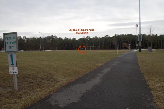
0.0 – Starting from the parking lot, the corner near the playground and building, walk a paved path between one of the fields, towards the tree line and the trail kiosk.
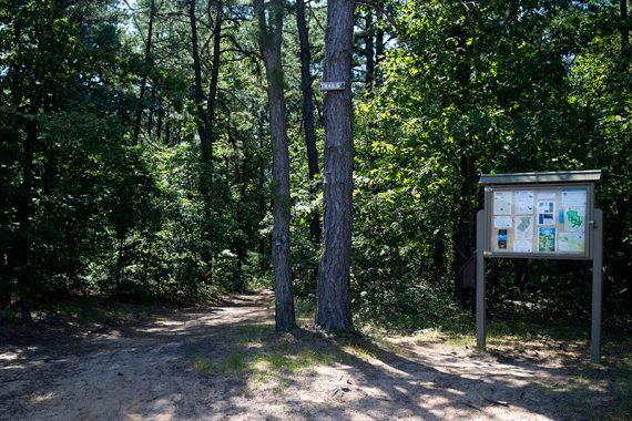
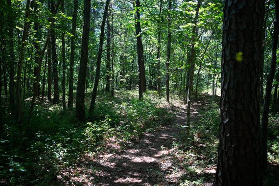
0.2 – At the trailhead, start following the Nature Trail (YELLOW) straight. Soon, continue following it as it turns LEFT.
// Variation: Stay on the main straight path instead and then turn LEFT onto WHITE, cutting out the loops below. //
Nature Trail (YELLOW) will loop around and cross over the main wide path (which is also Nature Trail (YELLOW) and is used on the return).
Nature Trail (YELLOW) then loops around again and meets the main path. Turn LEFT on the main path and briefly head back towards the start. Logs are stacked up along trail edges and blocking unmarked paths.
0.6 – Turn RIGHT and start following Pleasant Valley Trail (WHITE).
1.0 – Turn LEFT and now follow Blueberry Flats (ORANGE). [Pleasant Valley Trail (WHITE) continues to the right.]
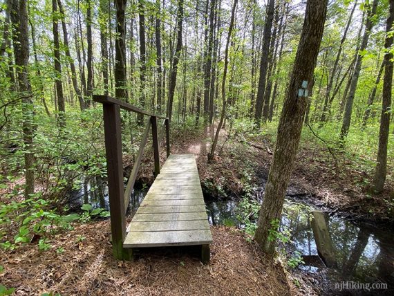
Soon, just after a bridge, Blueberry Flats (ORANGE) splits. Veer LEFT and continue on Blueberry Flats (ORANGE) as it loops around.
[Blueberry Flats (ORANGE) also goes to the right, which shortens the hike.]
1.6 – Continue following Blueberry Flats (ORANGE) as it turns RIGHT. [Pine Glen Spur (GREEN) is on the left]
1.8 – Turn LEFT and now follow Old Bridge Sands Trail (BLUE) as it goes over a small bridge.
// Shorter 2.7 route: Instead, continue on Blueberry Flats (ORANGE) straight. Soon, keep LEFT when the Blueberry Flats (ORANGE) forks. Turn RIGHT to follow Pleasant Valley Trail (WHITE) again. Take Nature Trail (YELLOW) straight back. //
2.1 – Continuing on Old Bridge Sands Trail (BLUE). [Unmarked Sand Trail is on the left]
2.4 – Cross Pleasant Valley Road, continuing on Old Bridge Sands Trail (BLUE).
2.9 – Turn LEFT and now follow Pleasant Valley Trail (WHITE). [Old Bridge Sands Trail (BLUE) ends. Pleasant Valley Trail (WHITE) also goes right and is a shorter way back.]
——————————–
Shorter option, 4.0 miles total: This small loop section of Pleasant Valley Trail (WHITE) is just OK and not as nice as the rest of the hike.
It’s also a little confusing to follow. We include it because we like to hike as many miles as we can get at a park.
You can bail here by turning RIGHT and continuing on Pleasant Valley Trail (WHITE) and when you arrive at the road again, continue the directions below at 3.9.
——————————-
According to the map, pass an Unmarked Sand Trail – we did not notice it.
3.0 – Continue straight where the trail splits – this is very easy to miss because of the deep rut in the trail that makes it appear that the only path curves to the right.
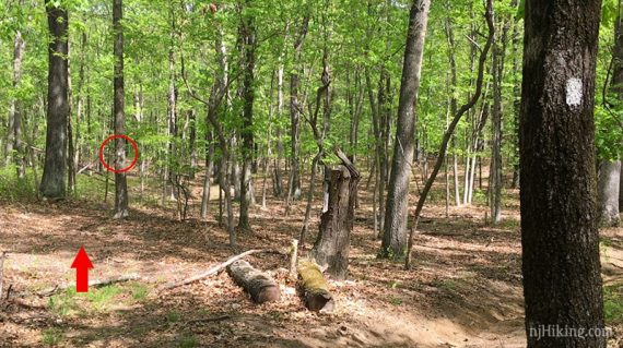
The marker is ahead but easily missed – circled in the red in the photo. [Pleasant Valley Trail (WHITE) also veers right and connects to the loop later, reducing the route a little]
3.3 – Continue following Pleasant Valley Trail (WHITE) as it turns RIGHT. [Unmarked Sand Trail goes to the left]
3.7 – At a torn up, sandy area, where markers may not be obvious… continue straight on Pleasant Valley Trail (WHITE).
[Pleasant Valley Trail (WHITE) connector is to the right but not obvious].
Shortly, turn LEFT and continue on Pleasant Valley Trail (WHITE). This intersection is really easy to miss as it’s overgrown and the trail appears to only go right.
If you arrive at the BLUE trail again, you missed it.
3.9 – Continue following Pleasant Valley Trail (WHITE) as it crosses Pleasant Valley road.
4.1 – Continue following Pleasant Valley Trail (WHITE) as it turns LEFT. [Blueberry Flats (ORANGE) on the right]
4.5 – Continue following Pleasant Valley Trail (WHITE) until it ends at YELLOW.
Turn RIGHT to follow the Nature Trail (YELLOW) back to the trail head. [Nature Trail (YELLOW) also goes left].
—-
Hiked: 2/27/22. Short route, 2.7 miles.
Snowshoed: 2 miles.
Hiked: 5/16/20. Full route.
Hiked: 7/21/19. Short route, 2.7 miles.
Hiked: 1/1/19. Deep water; cut short. 3.2 miles. Trail Blog: “John A. Phillips Preserve on New Year’s Day 2019“
Hiked: 2/18/18. Used Orange to cut over; 1″ snow. ~2.7 miles.
Hiked: 3/5/17. Used Orange to cut over. ~3.8 miles.
Hiked: 8/9/15. Full route.
Hiked: 3/15/15. Super soggy and cut it short. ~2.7 miles.
Hiked: 2/21/11. Trail Blog: “John A. Phillips Preserve in February“