A short, easy loop around Parvin Lake through South Jersey’s pinelands and an Atlantic white cedar swamp.
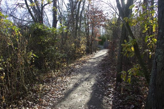
3.3 miles. Easy. Trail surface is easy, flat, and has no rocks.
| 3.3 miles | This hike guide: Detailed instructions, photos, and video follow below. |
| Longer | Extend by incorporating other trails such as BLUE or RED. |
| Nearby | Peek Preserve; Maurice River Bluffs; Scotland Run Park; Woods of Wenonah; Tall Pines Preserve; Saddler’s Woods. |
Our two cents:
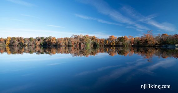
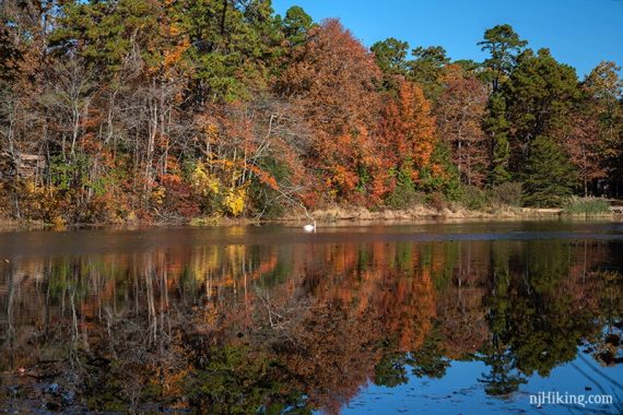
Easy loop with nice lake views. We did this trail in about 1.5 hrs and that was with stopping for photos and video.
In summer, there is swimming at the beach, with picnic areas, a playground, and a camping area. There are other trails in the park to make longer hikes.
Updated: 1/3/25 – Page refreshed; not re-hiked. Note that the park updated the trail map – part of the RED (Long Loop) and the entire WHITE (Nature Trail) have been removed (does not affect this hike guide). Older change log at page bottom.
Hike Info:
Map:
Print out the park map before. There aren’t any at this parking lot but you could stop at the park office near the beach. Follow along on your smartphone with our Interactive Map link above.
Books:
Map diagrams and longer route variations can be found in Best Day Hikes in New Jersey, 50 Hikes in New Jersey, Hiking New Jersey (2023) and Best Day Hikes Near Philadelphia. Parvin is not covered in the The New Jersey Walk Book.
Restrooms:
Not at the parking lot for this route. There are restrooms at the park office near the beach access, which is later in the hike (or a short drive around the corner).
There should be restrooms in the campgrounds – not sure on the availability.
Parking: N39 30.346 W75 07.794
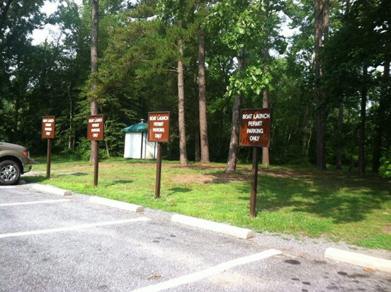
923 Parvin Mill Rd, Pittsgrove, NJ 08318. This hike starts from the lot at Fisherman’s landing, which is on Parvin Mill Road/County 645. A few spaces are for Boat Launch /Trailers Only and require a permit (could get ticketed without one).
If approaching from the NJ Turnpike south, take exit 3. Take 42 South to 55 South. From Route 55, take exit 35B. There are a few signs to the park. The Park is located between Centerton and Vineland on Route 540 (Almond Road).
This loop hike is entirely on GREEN and could easily be switched to start from the park office where there is a bigger lot.
Hike Directions:
Overview: GREEN for the whole loop.
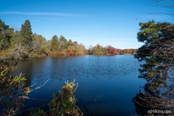
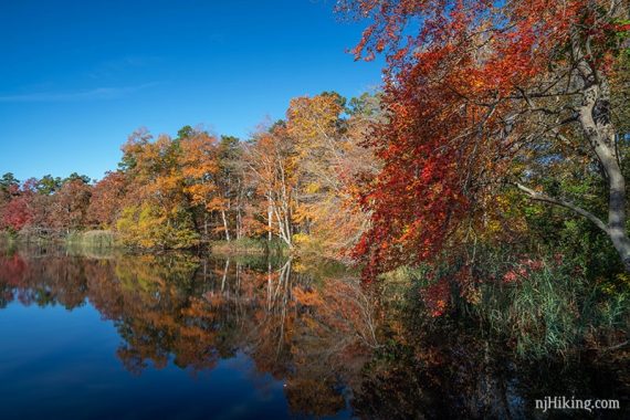
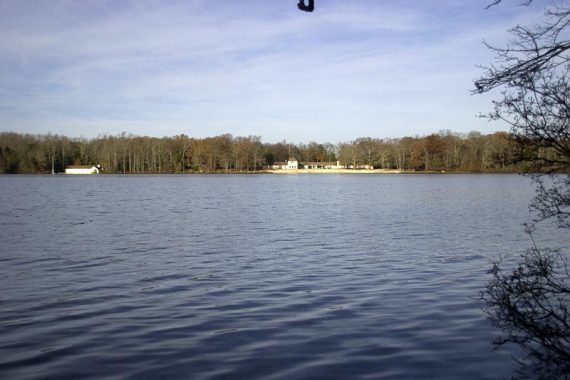
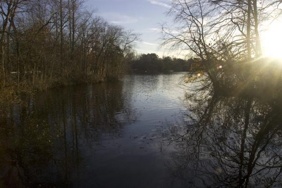
Great view of the lake right from the start. There is a floating dock to get a view from as well. Trail junctions noted below may or may not still be marked.
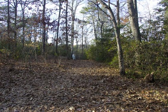
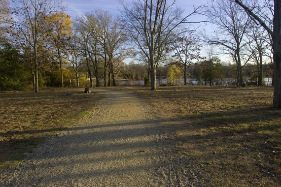
0.0 – From the parking lot, this route heads clockwise around Parvin Lake. Facing the lake, start walking to the left, hugging the lake.
Go over a small bridge, then immediately pass a small floating dock. The campground comes into view on your left.
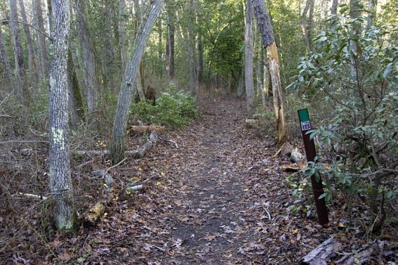
0.1 – Keep following GREEN as it turns RIGHT and hugs the lake. [Pass BLUE and YELLOW, straight].
0.6 – Continue on GREEN. [BLUE goes to the LEFT]
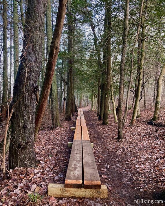
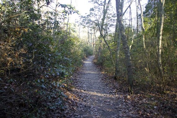
In 2024, a long stretch of plank boardwalk was added through the grove of cedars at the edge of the lake. This area can sometimes get muddy after heavy rain.
1.4 – Continue on GREEN. [PINK goes to LEFT]
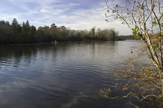
View of beach and Park Office from across the lake.
1.6 – At a 4-way junction, turn RIGHT and continue following GREEN. [ORANGE is straight, the path to the left leads to BLUE].
1.8 – Not long after crossing a bridge, and near a wooden structure, turn RIGHT and continue on GREEN. [RED and WHITE go to the left.]

Almond Road is off to the left, and there may be some minor road noise. Behind a chain link fence, a playground and picnic areas come into view on the right.
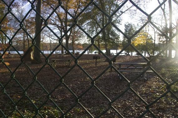
2.8 – Pass the Park Office, Beach access, Restroom.
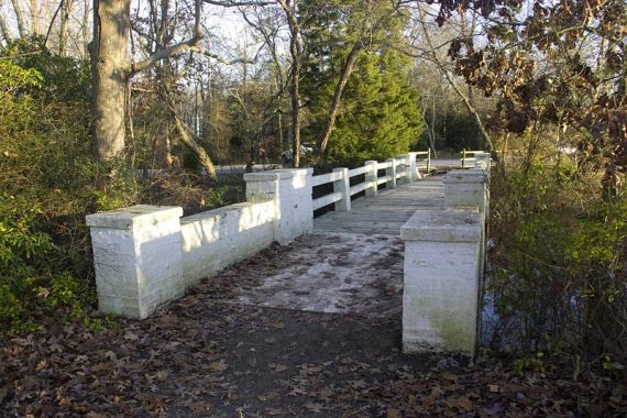
The fence ends and the path curves around, past a gazebo and then over an old white bridge, completed by the CCC in 1940. (This picture pre-dates the 2019 refresh of the bridge).
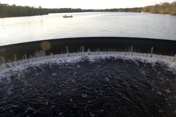
The trail goes along the road and then arrives at the dam.
The parking lot is just ahead.
—
Hiked: 3/3/19. Variation, w/A. Thundergust – Black Oak – Long – Parvin Lake Trail
Hiked: 10/8/17. w/A.
Hiked: 11/2/14. w/ B,T, B.
Hiked: 11/15/09. w/ B,T, B. Trail Blog: “Maurice River Bluffs and Parvins State Park“
Updated: 8/2021 – Page refreshed; not re-hiked. 11/2018 – Fall foliage photos added. 10/9/17 – Re-hiked; link changed to the latest trail map. 11/20/14 – New trail map (Oct. 2014).