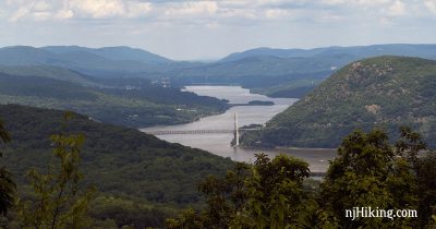
West Mountain, The Timp, Doodletown
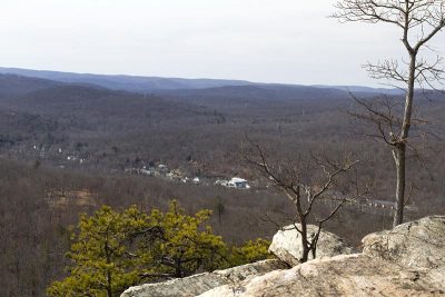
Enjoy views of Bear Mountain Bridge, Perkins Tower, the Hudson River, and NY – and hike through Doodletown, the remains of a town from the 1700s.
Harriman and Bear Mountain State Parks are located in New York not far from the border with New Jersey. They offer an extensive network of rugged trails with outstanding vistas.
Enjoy views of Bear Mountain Bridge, Perkins Tower, the Hudson River, and NY – and hike through Doodletown, the remains of a town from the 1700s.
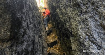
Scramble through the Lemon Squeezer – a narrow rock crevice on the Appalachian Trail – and hike past Island Pond, Green Pond, and the Valley of Boulders.
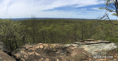
Plenty of views and a few old mines on a hike up Black Rock and Hogencamp Mountain in Harriman State Park, NY.
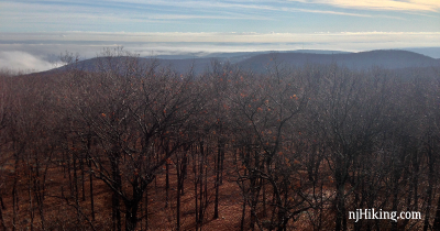
Expansive views from a fire tower and Big Hill, a few ruins, and hiking old woods roads past three pretty reservoirs.
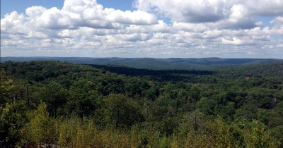
Plenty of viewpoints, hills, and scrambling plus Pine Meadow Lake in Harriman State Park, NY.
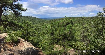
Hike the Seven Hills trail for plenty of views and fun scrambling in Harriman State Park.

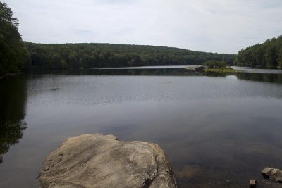
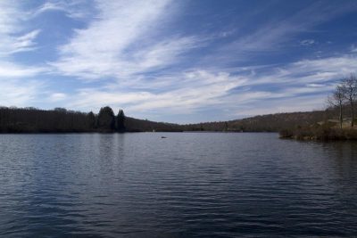
Very scenic hike that loops around Pine Meadows Lake in Harriman State Park, New York.
Highlights of this loop include views of Lake Skannatati and Lake Askoti, the Hasenclever Mine, and a small cemetery with graves from the 1800s.
“Almost Perpendicular” is a steep rocky scramble to a nice viewpoint, and “Elbow Brush” is a short squeeze through a rock crevice.
This route takes in several view points along Mountain, SMB and Raccoon Brook Hill trails, Lake Wanoksink, and Pine Meadow Lake.