Hiking in New Jersey and Beyond
Explore New Jersey with 200+ guides featuring detailed turn-by-turn directions, photos, and videos. The site covers hikes across all of NJ, nearby ones in NY and PA, plus easy biking and kayaking. Start with our Hike Finder Map or one of the categories below.


Most Popular Jersey Hikes
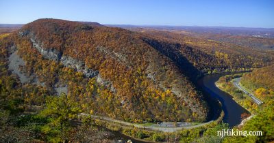
Mt. Tammany – Delaware Water Gap
Climb steeply uphill to a fantastic overlook of the Delaware Water Gap and Mt. Minsi across the way.
Stairway to Heaven NJ
Hike the “Stairway to Heaven” up a series of steep rock slab steps to a panoramic view from Pinwheel’s Vista.
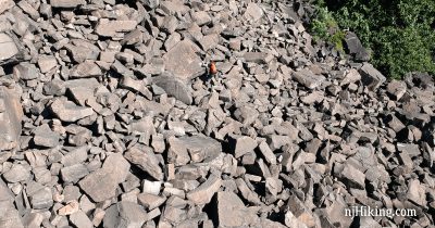
The Giant Stairs – Palisades
Scramble over the Giant Stairs – a long section of huge boulders that have tumbled from the Palisades – with views over the Hudson River into NY.


Latest Posts
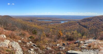
Raccoon Ridge from Mohican Outdoor Center
Hike the Appalachian Trail to an impressive panoramic view from Mount Mohican.
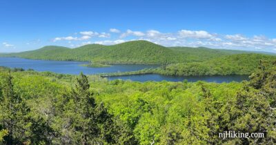
Governor Mountain – Ringwood State Park
Hike the Cooper Union Trail to a rock outcrop for a stunning view over the Wanaque Reservoir.
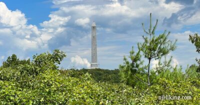
High Point Monument Loop
Hike a loop from the highest point in New Jersey for expansive views over the tri-state area.
Monks Trail Loop
Loop around Monks Mountain with multiple viewpoints of Monksville Reservoir and the surrounding peaks.
Blue Mountain Lake and Hemlock Pond Loop
Hike a loop to Indian Rocks, Hemlock Pond, and Blue Mountain Lake in the Delaware Water Gap.
Adventures for All Seasons

NJ Bike Trails
Rail-trails in and near New Jersey that are great for easy hiking and biking for the whole family.


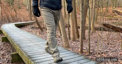
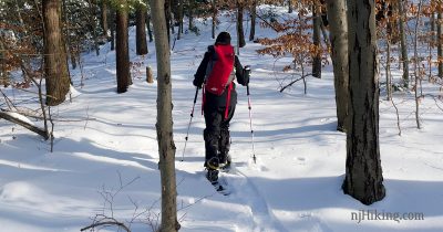
Winter Traction Devices
Hiking traction devices allow you to enjoy snow and ice covered trails more safely. A review and comparison of MICROspikes and YakTrax.


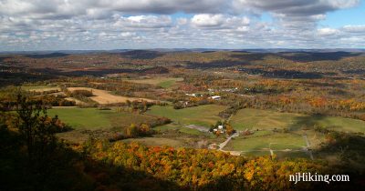
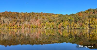
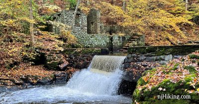
Best Fall Foliage Hikes in New Jersey
The best fall foliage hikes in New Jersey. Average peak color in NJ is October 19 – 29.