Overlook Rock and Manaticut Point with Mama Bear and Cubs
Lots of views on a hot and humid summer day plus a bear spotting.
Lots of views on a hot and humid summer day plus a bear spotting.
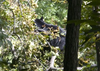
Encountering a bear on the way to Crater Lake from Buttermilk Falls.
Longish loop through scenic forest, rhododendron tunnels, and cedar swamp… plus an encounter with a pair of black bears.
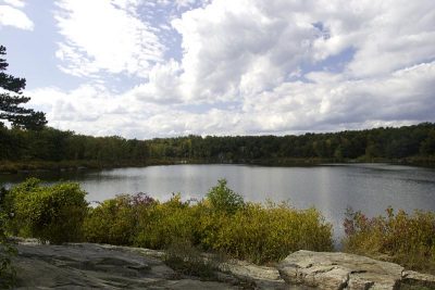
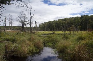
Hiking the Highlands Trail from Saffin Pond to the Beaver Brook Trail to Lost Lake, and back.
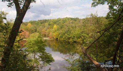
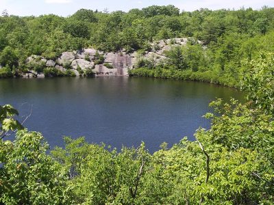
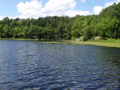
This hike skirts Lake Sonoma and has some nice views – including a panorama from Overlook Rock .
Encountering a bear and her cubs cuts our Highlands Trail hike short.
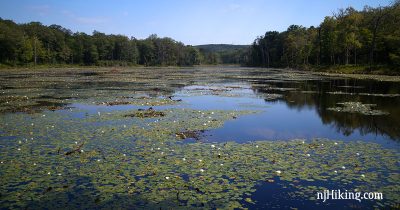
Hiking Old Coal, Lookout Lake, Wawawanda Lake and spotting a bear.
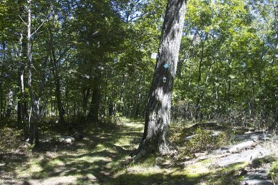
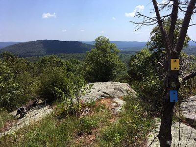
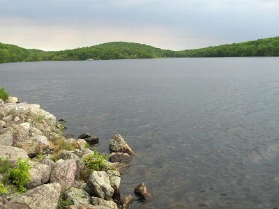
Hiking an out-and-back on the Highlands Trail over the New York border.
Explored a couple unmarked that were on our trail map and stumbled upon two black bears.