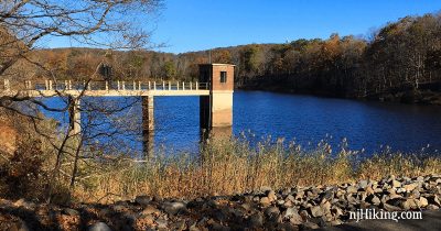
Wildcat Ridge – Hawk Watch Loop
Hike a loop with the Hibernia bat cave, cemetery, hawk watch viewpoint, and a beaver pond.
Hike a loop with the Hibernia bat cave, cemetery, hawk watch viewpoint, and a beaver pond.
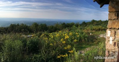
A steep but short approach to Sunfish Pond via Garvey Springs, then expansive views along the Appalachian Trail at Raccoon Ridge.
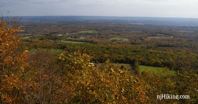
Hike through a dense forest before climbing to Sunrise Mountain for views over northern New Jersey from the Appalachian Trail.
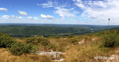
Enjoy plenty of views hiking the Appalachian Trail from Sunrise Mountain to Culver Fire Tower and Culvers Gap.
Hike along Washington Valley Reservoir, East Branch Reservoir, Buttermilk Falls and a hawk watch.
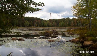
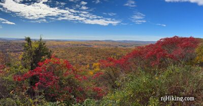
Rugged hiking with views from a Hawkwatch, beaver lodges on a pond, a mine/batcave, and a cemetery dating back to the 1800’s.