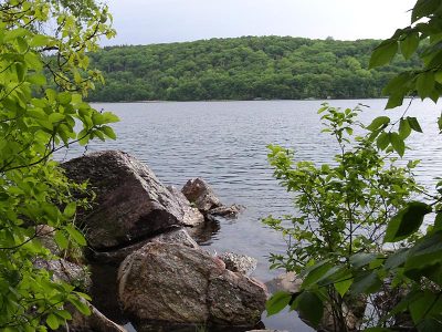
Echo Lake – Highlands Trail
Mostly level hiking on moderate trail with a few minor changes in elevation, plus a lot easy woods road walking.
Mostly level hiking on moderate trail with a few minor changes in elevation, plus a lot easy woods road walking.
Long hike through the northern section of Allamuchy Mountain S.P. North, on the Waterloo Trail.