Franklin Parker Preserve – Chatsworth
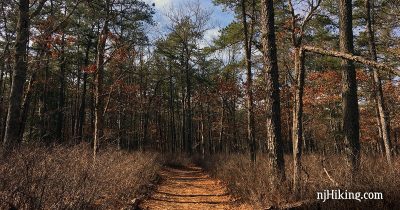
Hike through a beautiful section of the pine barrens and around old cranberry bogs.
Hike through a beautiful section of the pine barrens and around old cranberry bogs.
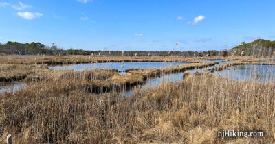
Hike through pine forest, around salt marshes, and along beaches while looking for Osprey in nesting platforms.
Easy trails plus a playground and picnic area makes this a great destination for families.
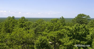
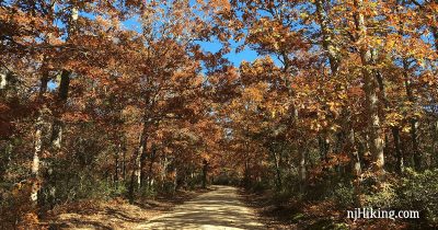
Hike the Batona Trail from the Carranza Memorial to Apple Pie Hill and climb the 60’ tall fire tower for a panoramic view.
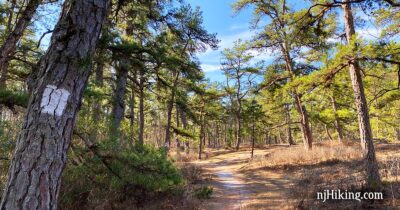
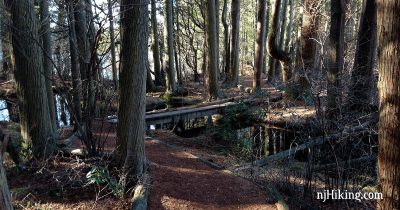
Hiking the White Trail at Wells Mills County Park on New Year’s Day, 2014.
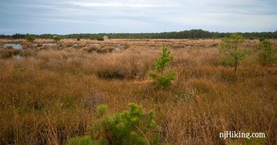
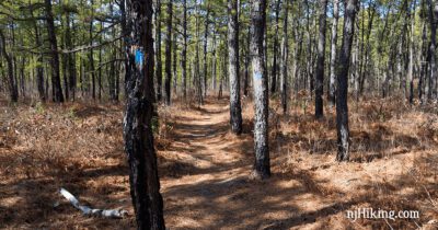
A great intro to the terrain of the Pine Barrens that also travels through Atlantic white cedar swamps.
Short, pleasant loop through pine barrens along the bluffs by the Maurice River.
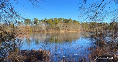
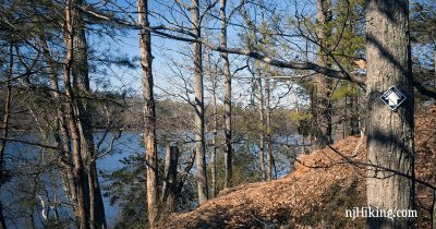
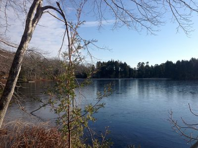
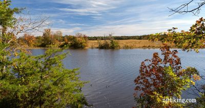
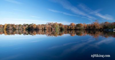
Hike in southern New Jersey’s Pine Barrens from Lake Nummy, past East Creek Pond, and through stands of Atlantic white cedar.
Hike a loop from Lake Nummy using the East Creek trail and sand roads in Jersey’s pine barrens.
Hike on easy trails through New Jersey’s pine barrens and an Atlantic white cedar bog.
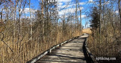
Easy romp through the Pine Barrens that includes a long and rather nifty section of boardwalk.
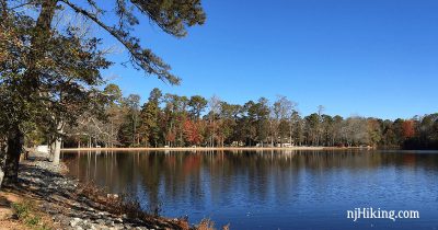
A short, easy loop around Parvin Lake through South Jersey’s pinelands and an Atlantic white cedar swamp.