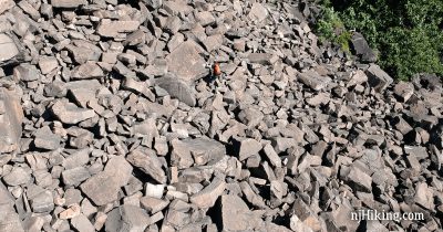
The Giant Stairs – Palisades
Scramble over the Giant Stairs – a long section of huge boulders that have tumbled from the Palisades – with views over the Hudson River into NY.
Scramble over the Giant Stairs – a long section of huge boulders that have tumbled from the Palisades – with views over the Hudson River into NY.
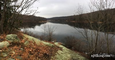
Hike a loop with the Hibernia bat cave, cemetery, hawk watch viewpoint, and a beaver pond.
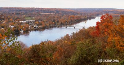
Easy hike to a fantastic view over the Delaware River, Lambertville, NJ and New Hope, PA.
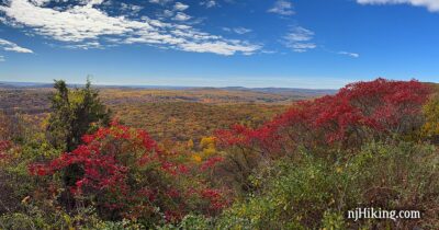
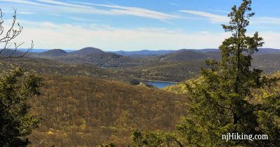
Enjoy views of Lake Valhalla and the NYC skyline, a waterfall, and the 100 Steps.
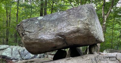
Hike to three large glacial erratics – Tripod Rock, Whale Head Rock, and Bear Rock – as well as two overlooks.
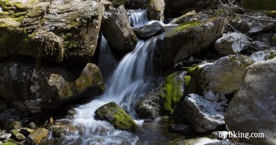
Loop with streams, water cascades, mines (closed), ridge views, the Catfish fire tower, rhododendron tunnels, and a swamp.
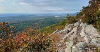
Hike up the Rattlesnake Swamp Trail to expansive views from the Appalachian Trail and Catfish Fire Tower.
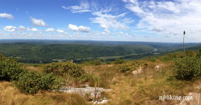
A steep but short approach to Sunfish Pond via Garvey Springs, then expansive views along the Appalachian Trail at Raccoon Ridge.
Hike the Appalachian Trail to an impressive panoramic view from Mount Mohican.
Explore the remains of a Revolutionary-era Ironworks plantation, scramble to a viewpoint, and hike across the NJ/NY border.
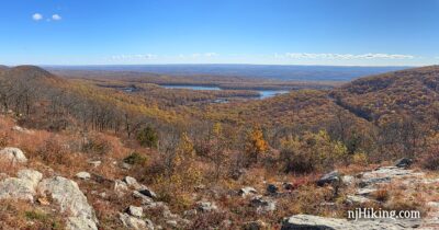
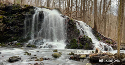
Hike to Hawk Rock and Cactus Ledge viewpoints, continue to Bear Swamp Lake, and end with a pretty waterfall.
Enjoy expansive views over the Hudson River to New York City, a pretty waterfall, ruins, and a rope swing.
Short hike that includes stone ruins, Lake Valhalla Overlook, a waterfall, and the 100 Steps.
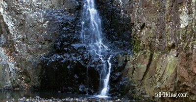
Moderate hike that takes in a viewpoint from historic Washington Rock, Hemlock Falls, and the Rahway River.
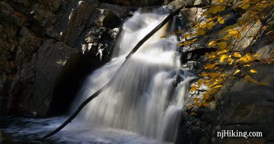
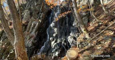
Short rocky hike in a beautiful gorge with waterfalls plus a viewpoint over a valley.