Small parcel of old growth forest with a network of easy, scenic trails near Rutgers New Brunswick campus.
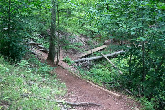
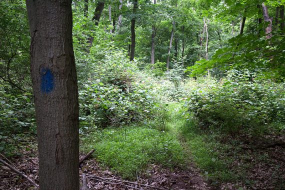
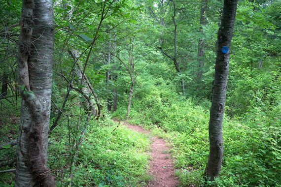
3.8 miles, compact red clay / shale, roots. Somewhat hilly with a few somewhat steep ones. A rock hop over a small stream on BLUE. Well maintained trails.
- Shorter: Do only an individual loop like YEL, RED, BLUE, etc
- Longer: Overlap in a YEL or WHT or the new BLACK loop, or go a bit on the East Coast Greenway (which runs in Johnson Park but is mainly paved)
- Nearby: Helyar Woods at Rutgers Gardens; Washington Valley Park; Six Mile Run; Negri-Nepote Native Grassland Preserve.
Hike Info:
Our two cents:
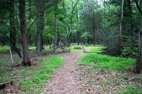
Nice easy park that is suited more to short loops from one of the parking areas. For avid hikers, this is a quick but pleasant leg-stretcher that is worth a stop if in the area.
Updated: 3/2022 – Re-hiked; edits to parking info; added black trail and trailhead/lot info to Interactive Map. 7/2020 – Page refreshed; re-hiked 6/2020. 3/2017 – Updated map and park links; description edits, added winter photos.
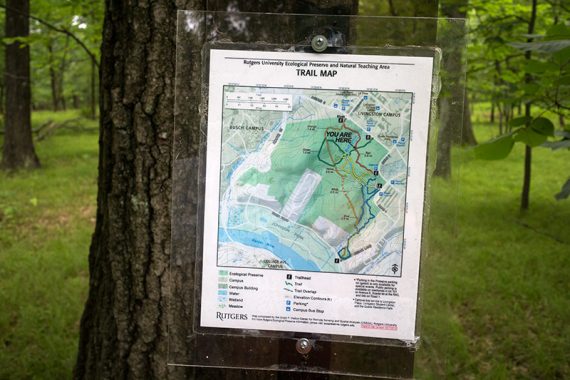
Map:
Follow along on your smartphone with our Interactive Map link above. Print the map ahead, none at the park.
Kiosk trailhead has a map board. A few intersections had laminated “you are here” trail maps but were older and didn’t include the black trail.
Parking: N40.50805° W74.44386° [Johnson Park Lot]
There are several lots marked on the park map but note they are permit-only except on weekends and the “gated” lot is for special events only. Johnson Park is open anytime.
These lots are points on our Interactive Map:
“Johnson Park Tennis Courts, 1217_837.2_8, Piscataway, NJ 08854“. This lot is not on the park map (bathrooms here too). Walk down the sidewalk to the River Road trailhead for ORANGE and BLUE trails.
“Scarlet Lot RAC, Piscataway, NJ 08854” – We park in the corner closest to the roundabout and the funky building, and then cross the road to the Kiosk trailhead for the ORANGE and RED trails.
“Lot 101 (Rutgers University), Piscataway, NJ 08854” – The GREEN trailhead is across the street and to the left.
Restrooms:
None at the park. Nearby in Johnson Park (possibly seasonal).
Hike Directions:
With such a tight network of trails and intersections with trail maps posted, doing a turn-by-turn mileage description would be overkill.
Every time we hike here we end up doing a different route and/or starting from another lot. This is just one route.
To make the longest route without overlapping we turned or veered RIGHT at each intersection:
BLUE (BLUE right and left and ORANGE straight all end up at the same spot) – WHITE at Road 1 trail head – RED at Road 3 trail head – ORANGE near wooden trail kiosk – GREEN – ORANGE – BLUE
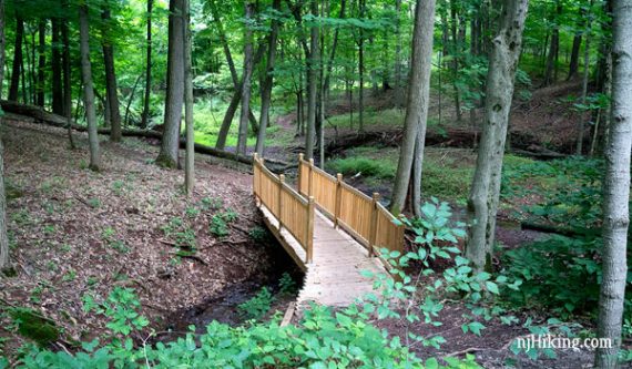
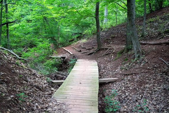
It’s worth including the inner trails around Buell Brook (YELLOW, BLUE) as they are probably the most scenic.
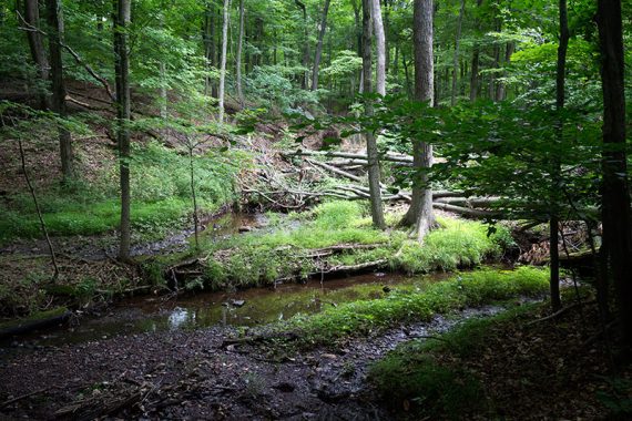
However, it’s hard to make a logical long loop to get them all in, so one time we just meandered all around and overlapped trails here and there to see the whole park.

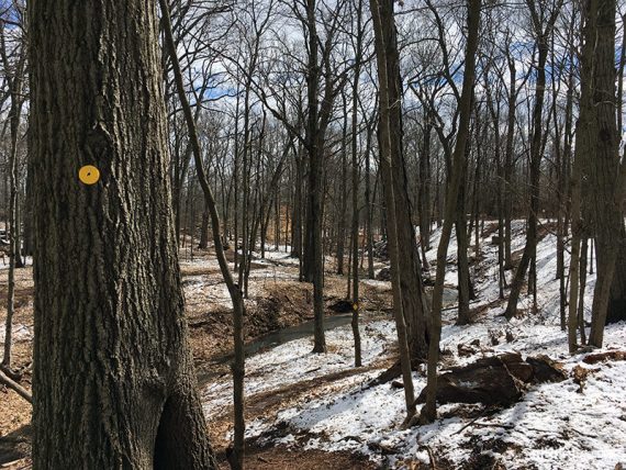
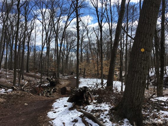
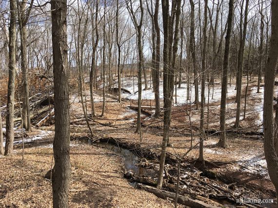
The trails are nice in any season. This is the YELLOW trail along Buell Brook and a little snow.
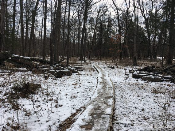
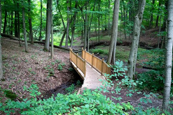
Long plank walkway covered in snow and slush, and a fancy bridge up close and in the distance.
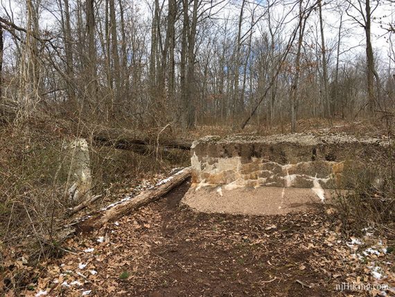
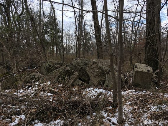
The remnants of a WWII-era Camp Kilmer ammo bunker are along the WHITE trail but mostly amount to a large cement barrier and a pile of fragments.
—
Hiked: 3/21/22. Scarlet Lot: ORG – BLK – ORG – BLUE – RED; 3.9
Hiked: 6/21/20. Meandered, from Scarlet lot; 4.6 miles.
Hiked: 10/21/18. Wildlife Loop, from Scarlet lot; Trail Blog: “Rutgers Ecological in the Fall”
Hiked: 3/12/17. Variation with inner trails, overlapping. 4.8 miles.
Hiked: 7/04/15.