Hiking Sourland Mountain in the winter after Hurricane Sandy.
While poking around on our site a few weeks ago, I realized not only had we not been to Sourland for several years (see “Sourland Mountain Preserve in Summer“), the trail map was different than the last time we’d gone.
Miles: 5.7
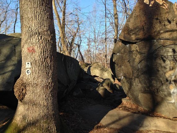
Route: Ridge Trail (WHITE Square) – Roaring Brook (RED Circle) – Ridge Trail (WHITE Square)
For complete hike info visit our main Sourland Mountain Preserve page.
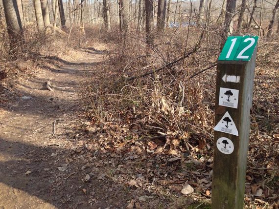
A trail had been added, Roaring Brook, and the position of one of the numbered trail markers (#7) moved. So when a weekend rolled around where we needed a somewhat short and nearby hike… off we went to take a look.
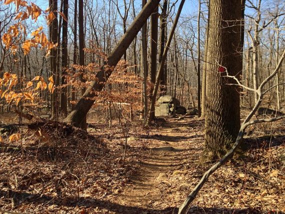
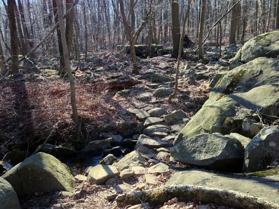
The new route addition only bumped up the loop total from about 5 to 5.7, but it’s still a nice hike. The terrain of Sourland Mountain is probably one of (if not the) rockiest in central NJ.
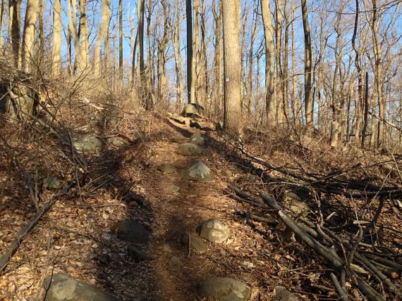
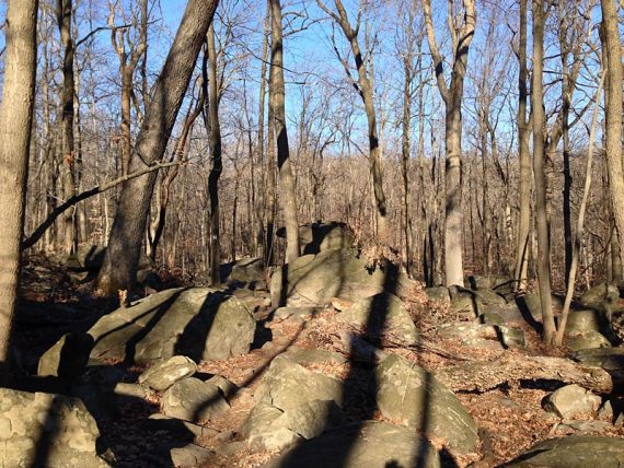
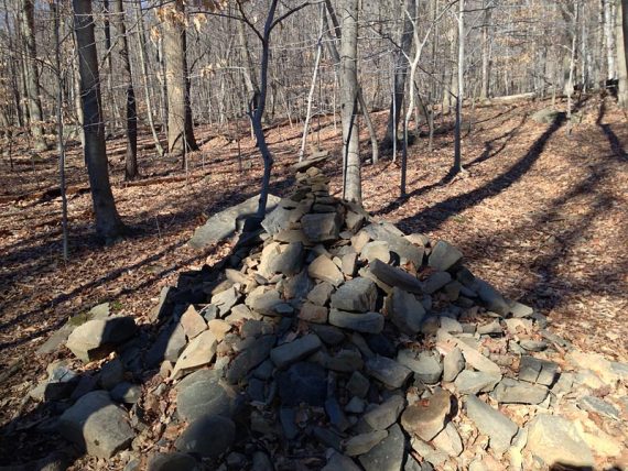
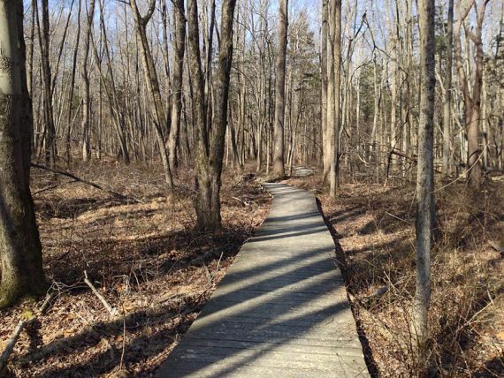
Still, it’s an easy-to-moderate hike through a pretty forest, over a bunch of boardwalks and through some interesting areas of large boulders. And there are several shorter options as well.
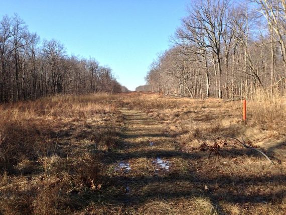
We’d gotten a lot of rain the week before so the trails were pretty muddy and also rutted in spots from bikes
The park was closed for a long time after Hurricane Sandy, and the evidence of the destruction was all around… but not a single blow-down was left to clamber through or maneuver around.
A ton of hard work by park staff and volunteers has this park in immaculate shape.
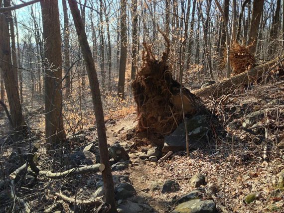
We were almost disappointed that we couldn’t get in a full-body workout doing the fallen-tree-limbo that Jersey hikers have gotten used to since Sandy.
Almost.