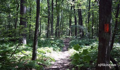
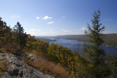
Coppermines, Appalachian Trail, Catfish Fire Tower, Rattlesnake Swamp
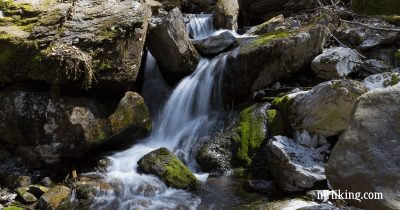
Loop with streams, water cascades, mines (closed), ridge views, the Catfish fire tower, rhododendron tunnels, and a swamp.
Loop with streams, water cascades, mines (closed), ridge views, the Catfish fire tower, rhododendron tunnels, and a swamp.
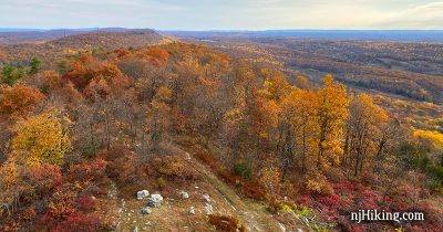
Hike the Appalachian Trail past Catfish Fire Tower for tons of views over New Jersey.
Expansive views from a fire tower and Big Hill, a few ruins, and hiking old woods roads past three pretty reservoirs.
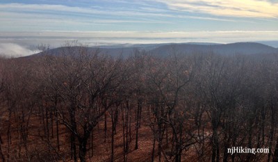
Enjoy plenty of views hiking the Appalachian Trail from Sunrise Mountain to Culver Fire Tower and Culvers Gap.
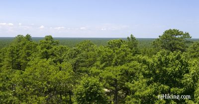
Hike the Batona Trail from the Carranza Memorial to Apple Pie Hill and climb the 60’ tall fire tower for a panoramic view.
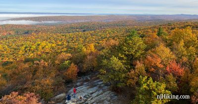
Impressive views over Stokes State Forest and the Kittatinny Ridge.
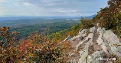
Hike up the Rattlesnake Swamp Trail to expansive views from the Appalachian Trail and Catfish Fire Tower.
A long route on mostly woods roads to a fire tower, or take it easy with short trails, picnic tables and playgrounds.
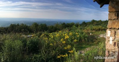
Enjoy big views of Greenwood Lake from Bare Rock and a 360° panorama from Sterling Forest’s fire tower.
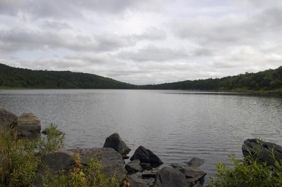
Hike to Hanks Pond and Bearfort Fire Tower in the Pequannock Watershed.