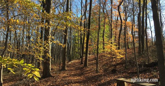
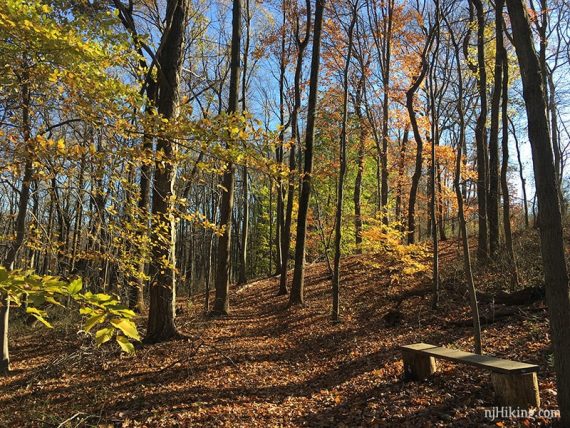
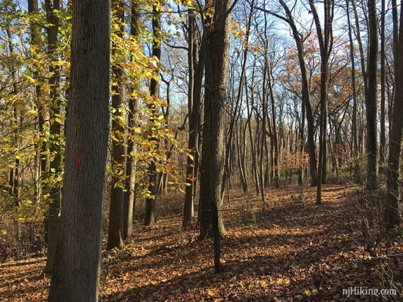
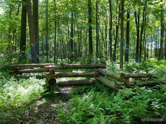
Two connecting sections of trails through forest and along meadows and farms.
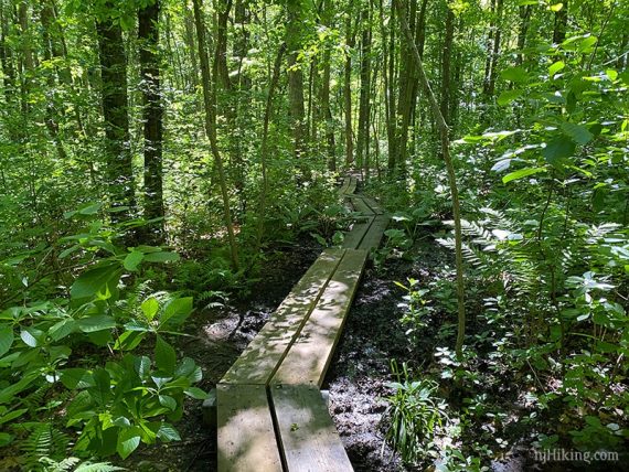
5.0 or 2.5 miles, dirt with roots, minor hills. Multiple crossings on plank bridges.
| 5.0 miles | This hike guide: Detailed instructions and photos follow below. |
| Shorter | 2.5 miles – Gravel Hill trail only; noted in the description below. ~3.0 miles – Hoffman Station only. |
| Longer | About 8 miles – connect to Thompson Park – Middlesex County for an additional ~3.5 there. |
| Nearby | Davidson’s Mill Pond; Farrington Lake Trail; Ireland Brook; Forest Brook; Tamarack Hollow; Van Dyke Farm; John A. Phillips Preserve; Monmouth Battlefield; Plainsboro Preserve; Perrineville Lake Park. |
Our two cents:
If you are just doing one of these 2 sections, Gravel Hill is nicer than Hoffman Station because it’s all forest and you won’t have a short walk along the soccer fields and cross a busy road (that’s how these connect).
The Hoffman Station section has some nicely crafted bridges though and makes this a nice sized loop.
The are also trails north of this section, above Schoolhouse Road, in “Thompson Park“, while Gravel Hill and Hoffman Station is technically “Thompson Park Conservation Area”.
These sections now all connect which allows for loops up to around 8-ish miles. Requires a short walk along Schoolhouse road.
Not to be confused with the Thompson Park in Monmouth County.
Hunting – Based on maps now posted through the park: Not allowed on half of the Gravel Hill section (believe this is a change from all no-hunting before). Allowed in the Hoffman Station section in season.
Updated: 2/2024 – Minor edits; adjusted description/Interactive Map to reflect slight change to the location of RED at the road crossing. Re-hiked 11/2023. Older change log at page bottom.
Hike Info:
Map:
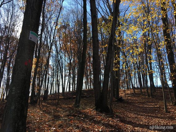
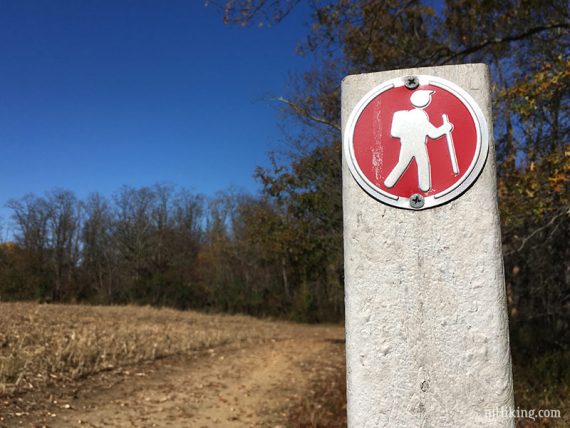
Paper maps may be at the trailhead or points along the trail, or print one ahead in case. Trails are generally well marked. Follow along on your smartphone with our Interactive Map link above.
There are two versions of the trail map dated 2020, the current one shows the RED trail running along along Hoffman Station Road.
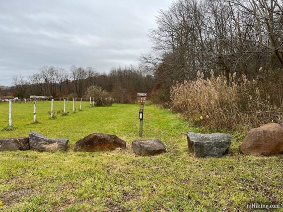
Parking: N40° 18.995′ W74° 25.991′
“Monroe Soccer Complex,1601 Perrineville Rd, Monroe Township, NJ 08831”. Large paved lot on Prospect Plains Rd/Rt 614 not far from the intersection of Perrineville Road and Prospect Plains Road.
There are 3 other parking areas marked on the park map. Detailed driving directions on the park site for those. There is a newer lot for several cars on Hoffman Station Road if you’d like to do just that loop.
Restrooms:
Portable toilets at this lot (as of 11/2023). The map also indicate one at the next parking lot down but we’ve never checked.
The nearby trailhead for Thompson Park – Middlesex, near the dog park, has a restroom building.
Hike Directions:
Overview: WHITE (Gravel Hill) – RED (Hoffman Station) – WHITE (Gravel Hill).
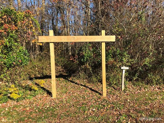
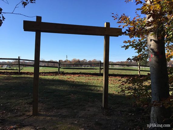
0.0 – The WHITE (Gravel Hill) starts at a wooden arch. [There should be another access trail off of one of the fields).
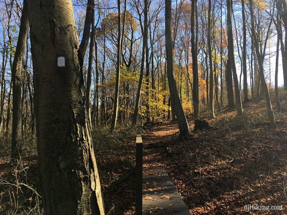
Pass a trail kiosk. Soon, WHITE (Gravel Hill) splits – turn RIGHT and cross a wooden bridge.
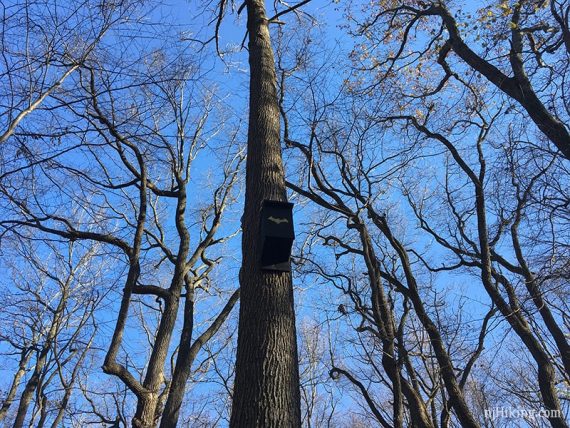
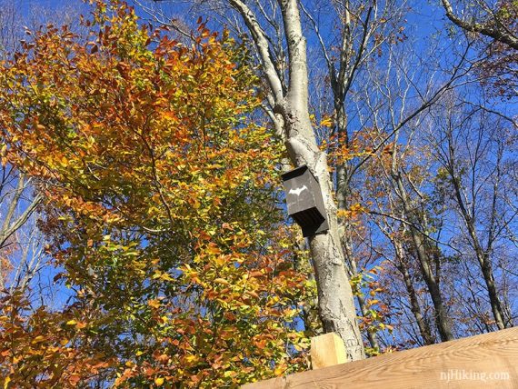
Keep an eye out for snazzy bat boxes.
0.4 – Continue straight on WHITE (Gravel Hill) [it also goes right which leads back to the lot.]
0.5 – Turn RIGHT and now follow RED (Hoffman Station).
/// Option: Stay on WHITE (Gravel Hill) instead to make this a 2.5 mile loop. ///
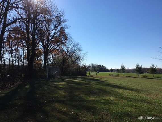
Follow RED (Hoffman Station) out of the woods to behind a soccer field. Turn left, and walk along the border of the field.
0.9 – At Hoffman Station Road, turn LEFT and walk down the sidewalk. (The old route used to cross the road almost immediately. And there wasn’t always a sidewalk.)
1.1 – Cross the road (busy, fast moving) and walk through a small parking area to continue on RED (Hoffman Station).
1.2 – Turn RIGHT on RED (Hoffman Station). [RED (Hoffman Station) also goes left, BLUE (Meadows) is straight.
1.5 – Follow RED (Hoffman Station) to the LEFT, as it runs adjacent to a farm field.
1.7 – Eventually RED (Hoffman Station) leaves the field edge and goes back into the woods.
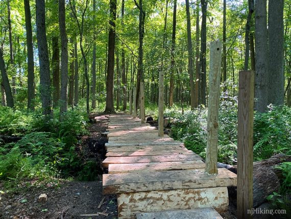
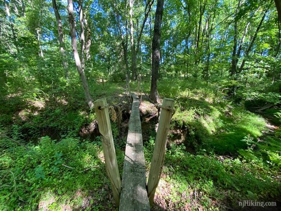
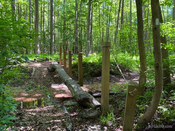
Cross a wooden footbridge. This was bridge was not quite finished when this photo was taken (6/2020) but now is weathered somewhat.
2.0 – Keep following RED (Hoffman Station). [Meadows (BLUE) goes left – might not notice it off on the side in between two boardwalk sections.]
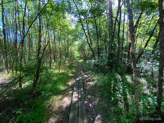
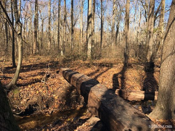
There are plenty of bridges to cross in this park.
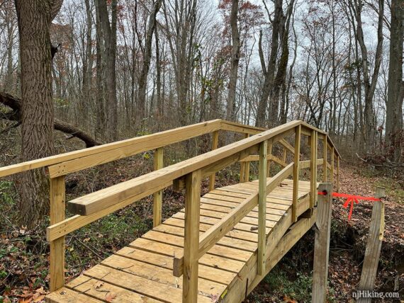
And they seem to get changed somewhat often. The above bridge used to look like this:
2.6 – Back at where you were earlier, turn RIGHT and retrace RED (Hoffman Station) to the small parking lot, cross the road, and walk to the LEFT on the sidewalk. [RED (Hoffman Station) continues ahead, Meadows (BLUE) goes left].
2.9 – Turn RIGHT and walk along the field again.
3.2 – Turn RIGHT back into the woods at the wooden arch with a bat box above it (where you exited before).
3.3 – Turn RIGHT and now follow WHITE (Gravel Hill) [Turn LEFT to cut the hike short].
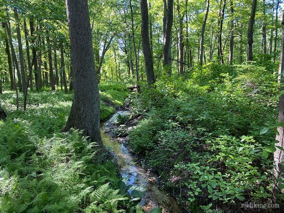
3.5 –Cross stream on a cut trunk used as a bridge.
3.7 – Cross stream on yet another crafty bridge. This used to be a stream hop and on older maps was marked “no bridge at stream crossing”.
4.3 – At a split, keep following WHITE (Gravel Hill) as it curves to the LEFT.
[Markers also indicate WHITE veers to the right (and soon goes over a small bridge) – this is the connector trail to Thompson Park.]
/// Longer Option: Follow this connector to add in trails at Thompson Park. ///
4.7 – Cross gravel Davison Road. Pass an unmarked trail that leads to the Davison Road lot.
4.9 – Follow WHITE (Gravel Hill) past the bridge from earlier and back to the lot.
—
Hiked: 11/26/23.
Hiked: 2/14/21. Snowshoe; 2.2 miles, Gravel Hill Loop.
Hiked: 6/13/20.
Hiked: 11/11/18. Trail Blog: “Thompson Conservation in November“
Hiked: 3/27/16. Trail Blog: “Thompson Conservation in March“
Updated: 7/2020 – Page refreshed, minor edits, added photos; re-hiked 6/2020. 11/2018 – Re-hiked; fall foliage photos added.