
We decided to wander around Wawayanda on a fine September day – pleasant and in the mid 70s.
As usual, we just slung together a route as we went.
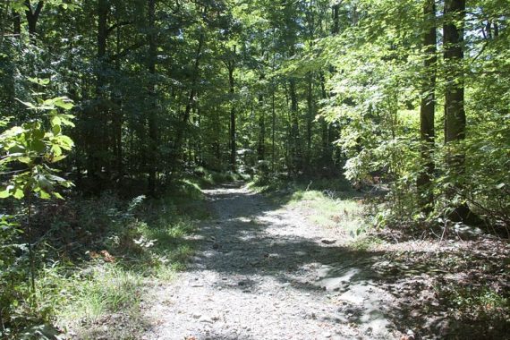
12 miles – terrain is easy to moderate; distance challenging. Plenty of options for smaller loops here. Wawayanda terrain is less rocky and pretty level (most are old woods roads), and quite pleasant compared to what’s usual in North Jersey.
Route: Starting from the parking lot just inside the park… Hoerferlin (BLUE) north – Woods Road – AT (WHITE) – Iron Mountain (BLUE diamond on white) – Pumphouse (ORANGE) – Cherry Ridge Road (WHITE zig-zag on BLACK) – RED DOT – Double Pond (YELLOW) – Hoeferlin (BLUE)
Complete hike details on our main Wawayanda – Iron Mountain, Pumphouse, Hoeferlin Loop.
It’s a very pretty park, and the trails are full of mountain laurel and rhododendron (come in May/June for their blooms, a lot along Pumphouse and Double Pond trails).
We decided to bail off of Hoeferlin after the mine (hole in the ground basically) to the woods road to the AT, there are other mines marked on the map that we’ll check out another time (mines are often nothing more than pits).
Iron Mountain trail was just OK, there are some power lines along it and no views.
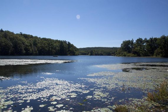
We then arrived at Wawayanda Lake and sat at a picnic table by the lake for awhile before walking over to the 2nd parking lot to locate the Pumphouse Trail.
(There is a composting toilet in the 1st lot; if that’s locked then check the bathrooms near the lake, they should be open. Bathrooms in 2nd lot as well)
Pumphouse starts out as a nice woods road, then becomes a trail when it veers left, with a brief really rocky section. We didn’t expect it to be as nice as it was (old woods roads can be just “eh” sometimes.)
There are several unmarked trails/roads that cross Pumphouse, we took one to the left to end up by the water near some old pipes from the pumphouse.
Pumphouse ends at Cherry Ridge Road which is a wide, level woods road that you can use to make loops out of a some of the park’s trails.
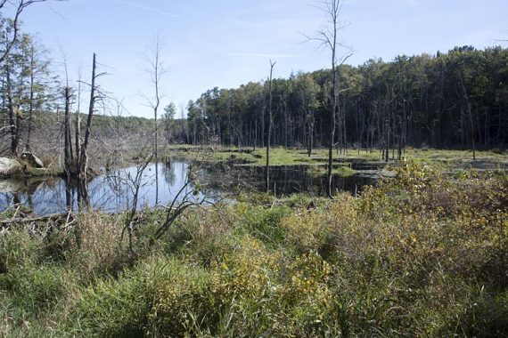
We took that until we picked up RED DOT, went past a swampy area on “Nature Jim’s Bridge”, before turning right onto Double Pond (YEL). That trail can get quite wet but was dry today.
When that ended, we took Hoeferlin (BLUE) north to the lot.
Didn’t spot any wildlife, but there were several formations of prop planes flying overhead, back and forth… surely due to it being Sept. 11.