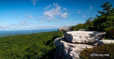
Sam’s Point Preserve – Ice Caves, Verkeerder Kill Falls, High Point
Explore an ice cave, a waterfall, and enjoy spectacular views of the Shawangunks region and the Catskill mountains.
Explore an ice cave, a waterfall, and enjoy spectacular views of the Shawangunks region and the Catskill mountains.
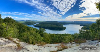
A long loop from Horse Pond Mountain to Lake Sonoma and Overlook Rock.
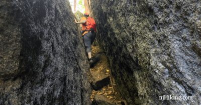
Scramble through the Lemon Squeezer – a narrow rock crevice on the Appalachian Trail – and hike past Island Pond, Green Pond, and the Valley of Boulders.
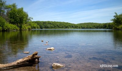
Took ORANGE up steeply for 1 mile. Arrive N of Sunfish Pond and pick up the AT here. We followed it N where it follows the ridge. 16 miles (new record)