First time hiking at Black Run Preserve.
**For complete hike info visit our main Black Run Preserve page. This is simply an archive of the original hike description and photos from a 1/2016 hike.**
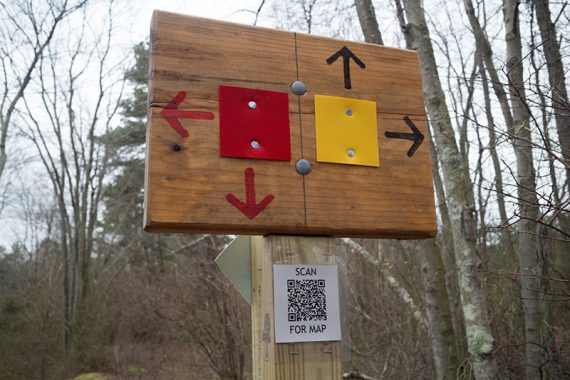
The park added trails and changed the blaze colors quite a bit from our original hike page so I moved the old info here to keep for reference.
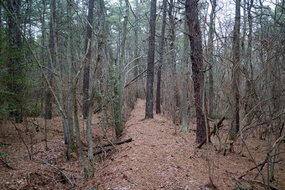
7.4 miles, easy, flat, sandy trails.
- Short: Stick to the trails nearest the lot like ORANGE, PURPLE, RED
- Shorter: About 3.5 miles – in the route below, cut out the RED out-and-back, take GREEN to YELLOW instead of BLUE, and take ORANGE straight back to lot instead of Nature Trail
- Longer: Possibly extend a little by taking BLUE out to the road and meeting up with WHITE
- Longer: Potentially link up to Cold Spring Preserve via the BLACK trail
Note: Check the map for current status of the BLACK trail – a bridge is out that prevents that loop being done in the description below.
The interactive map is geo-located – use it on a phone to keep track of your location. The map only worked for us once, but we’ve always found our AT&T cell coverage to be iffy in south Jersey.
Hike Directions:
Overview: GREEN – RED – PURPLE – RED – BLUE – WHITE – BLUE – GREEN – RED – GREEN – BLUE – UNMARKED – YELLOW – RED – ORANGE – NATURE TRAIL – BLUE – PURPLE – BLACK
Note: There is a GREEN diamond marker with ‘5K ROUTE’ that seems to be the GREEN trail but is also co-joined with other trails and not shown like that on the map.
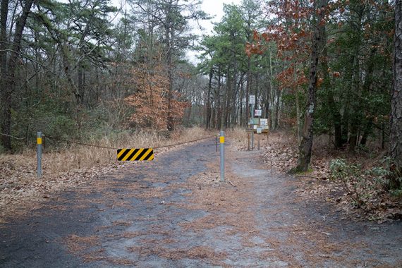
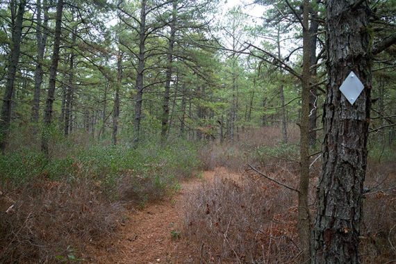
0.0 – Follow GREEN past a trail kiosk then the beginning of ORANGE on the right, near the start of a fence.
0.2 – Turn LEFT and now follow RED. [BLUE goes right. GREEN ends]
0.3 – Turn LEFT and now follow PURPLE. [RED goes straight, PURPLE also goes right].
0.7 – Now follow RED straight [PURPLE ends] for a few steps to an intersection with BLUE. Turn LEFT and now follow BLUE. [BLUE also goes right, and RED goes straight].
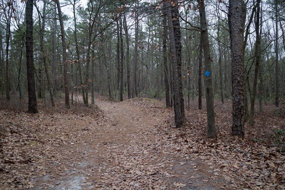
0.8 – Turn LEFT and now follow WHITE. [Option: Continue straight on BLUE to cut the hike about 0.3 shorter]
1.3 – Turn LEFT and now follow BLUE.
1.4 – Turn LEFT and now follow GREEN. [Option: BLUE also goes straight and will cut the hike about 1.3 miles shorter]
1.6 – Turn LEFT and now follow RED.
Option: stay on GREEN to cut the out-and-back on RED out to remove about 1.1 miles from the hike. This part was just OK so if you are looking to reduce the mileage, this is probably the place to do so.
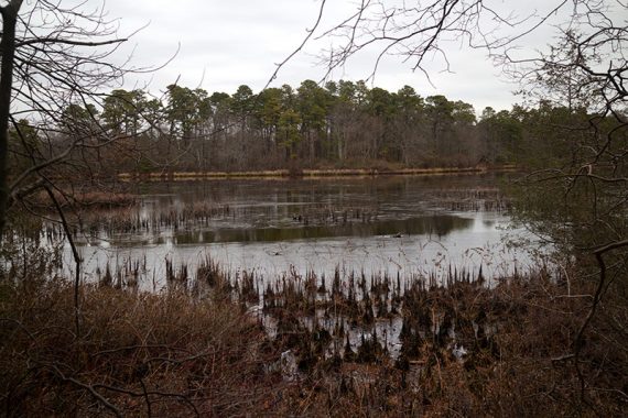
RED is an out-and-back on a sand road. At a clearing, where it appears like a fire pit used to be, it’s unclear and seems like the trail ends – veer left and the trail and markers continue.
2.1 – RED does a little loop before heading back to GREEN.
2.7 – Turn LEFT and now follow GREEN.
2.9 – Turn LEFT and now follow BLUE.
3.1 – Continue on BLUE. [GREEN is on the right.]
Option: Turn RIGHT instead and follow GREEN to YELLOW and pick up the description at 3.8 below. This cuts out a hard to describe turn onto an unmarked trail. This is another worthwhile way to shorten the hike.
Continue on BLUE as it turns RIGHT and then RIGHT near houses that may be visible through the trees.
3.7 – Turn RIGHT onto unmarked trail after BLUE starts curving left – however, there are several unmarked trails to the right that will be passed first so it makes it hard to describe the correct turn.
If you go a few steps too far there are trees piled up against a sand road and an orange arrow is spray painted on a tree.
(Any of the unmarked trails should lead to GREEN however).
A few steps down the unmarked trail is a short pipe sticking out of the ground. And if you pass a memorial with brightly painted tires in a little bit, you’ve picked the same unmarked trail we did.
3.8 – Start following YELLOW. [The end of the unmarked trail hits the end of GREEN and the start of YELLOW]
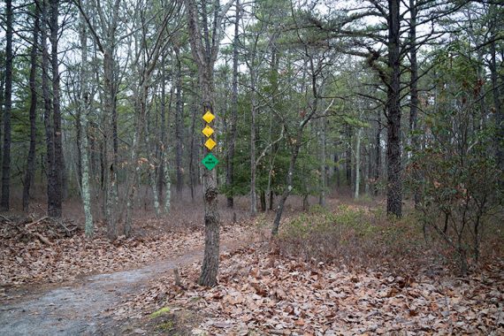
4.1 – Start following RED, straight, at wooden sign with directions for red and yellow. [RED also goes right, YELLOW goes left but is not marked as such on the map.]
Continue following RED past the WHITE trail.
4.5 – Now follow ORANGE. [RED continues to the right]
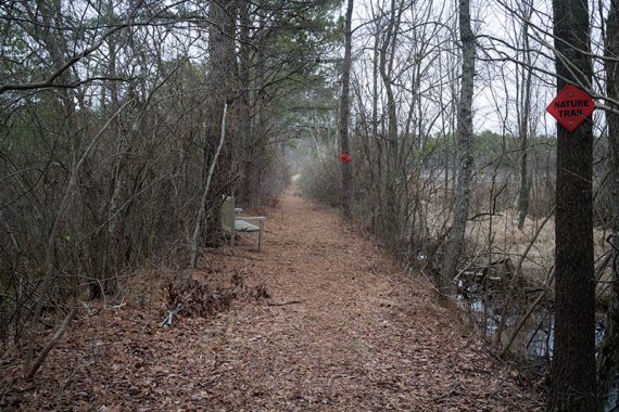
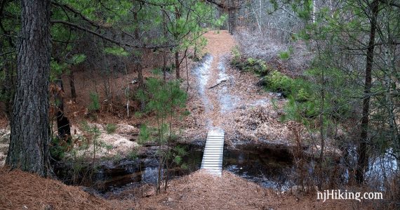
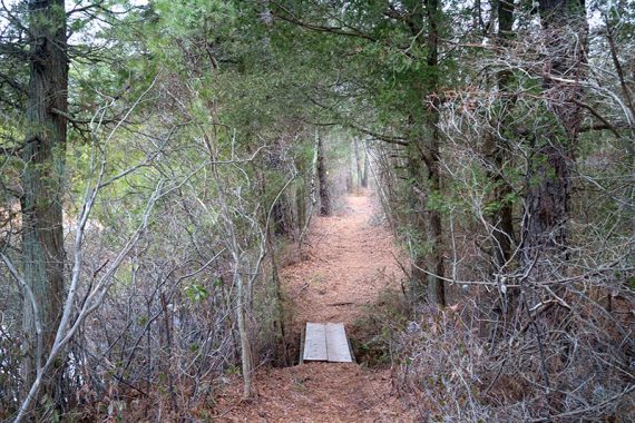
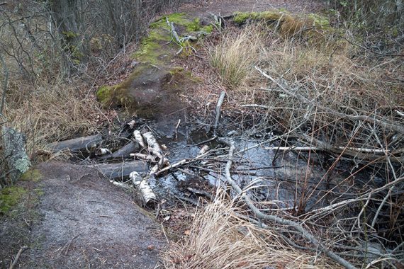
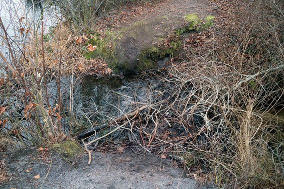
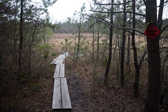
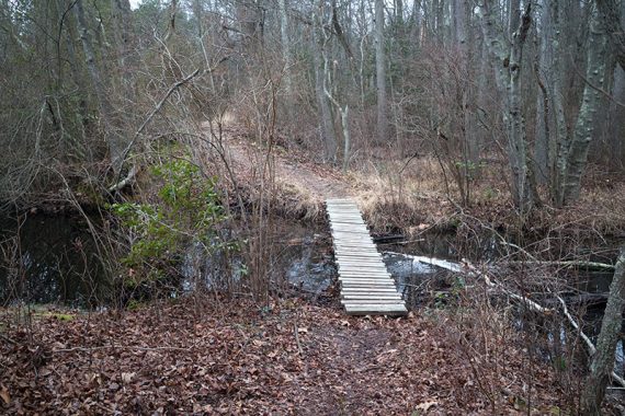
4.6 – Turn RIGHT and now follow Nature Trail along a thin strip of land between water. This requires two hops (or crossing on sticks) to get over a break in the land.
Option: Stay straight on ORANGE to avoid the crossings.
4.8 – Turn LEFT and now follow BLUE [BLUE also goes right]. A short side trail is on a boardwalk to the left.
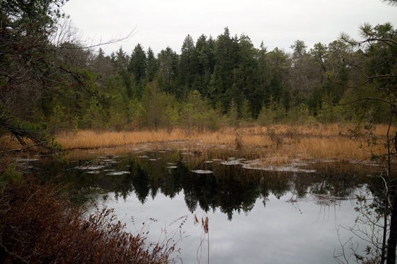
4.9 – Turn LEFT and now follow PURPLE [BLUE continues straight]. PURPLE is on a strip of land between water with a bridge to cross a break in the land.
5.0 – Keep following PURPLE straight. [ORANGE goes left and right].
Option: Turn right on ORANGE to get back to the lot quickly.
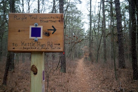
5.1 – Cross Kettle Run to start following BLACK [PURPLE ends]. Turn RIGHT and walk down the shoulder of the road to the trail marker for BLACK, turning LEFT back into the woods. In a few steps, follow BLACK to the right where indicated.
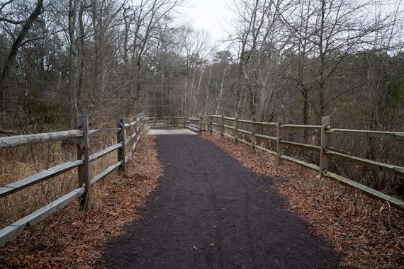
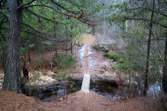
5.5 – Continue following BLACK to the LEFT, and then make a quick RIGHT, walking over a plank boardwalk.
Option: To cut the hike shorter, turn right instead and follow BLACK through a parking area, and cross the street to the main parking lot.
YELLOW markers off to the right in this section should lead to Cold Springs Preserve, though we didn’t check them out. Cross a short wooden bridge
6.0 – Sign for a BLACK loop. Continue following BLACK straight (you can go either way though). The trail loops back around to this sign.
6.7 – Back at the sign, turn RIGHT and retrace the route on BLACK, crossing the short wooden bridge again.
After crossing the planks from the earlier intersection, turn LEFT and then continue straight on BLACK through the other parking area, and cross the to the main parking lot.