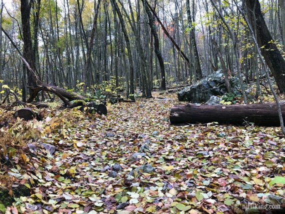
Hiking to Blue Mountain under overcast skies in late October.
This is an archive post for the original photos from our hike guide. The guide has been updated with different photos and the route changed slightly.
–> Complete hike guide on our main Appalachian Trail – Culvers Gap to Blue Mountain page.
Miles: 9.8
Route: Appalachian Trail (WHITE) – Acropolis (GOLD/BROWN) – Unmarked Trail – Appalachian Trail (WHITE) – Unmarked Trail – Acropolis (GOLD/BROWN) – Appalachian Trail (WHITE).
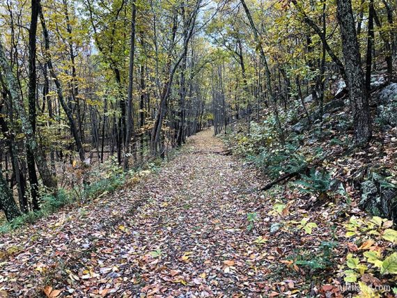
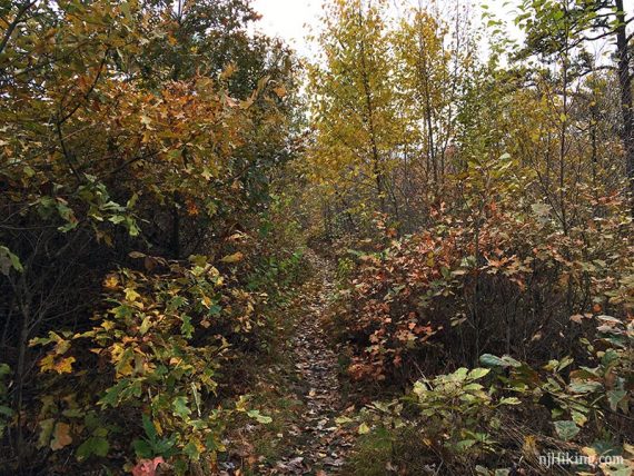
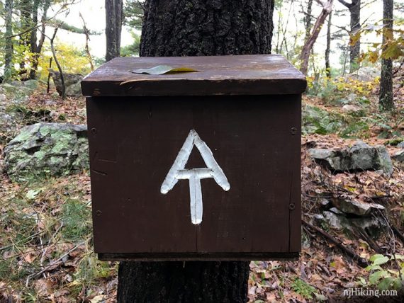
Start following the Appalachian Trail (WHITE).
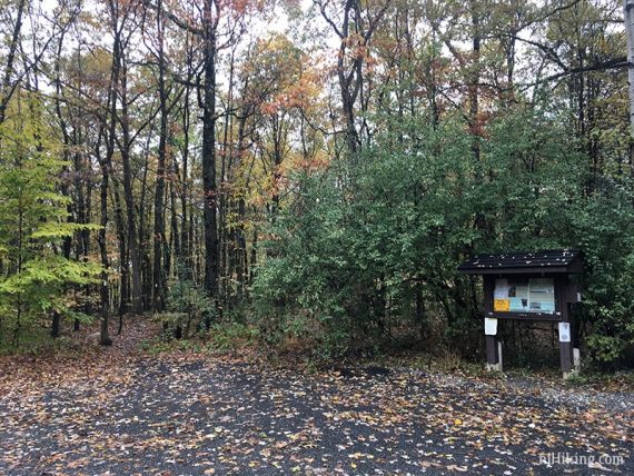
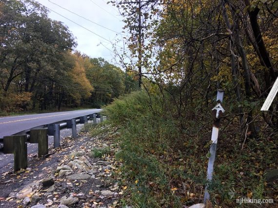
Cross Route 206, turn LEFT and walk on the shoulder of the road.
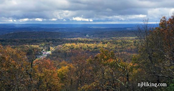
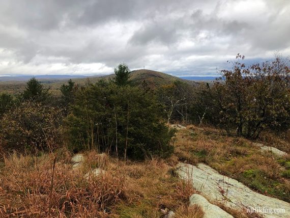
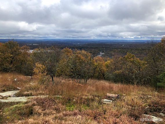
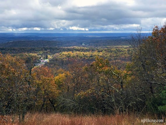
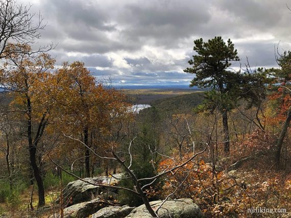
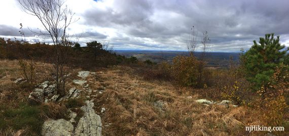
View from Acropolis (GOLD/BROWN).
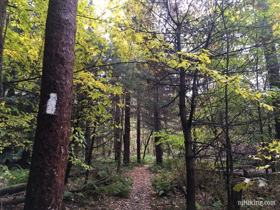
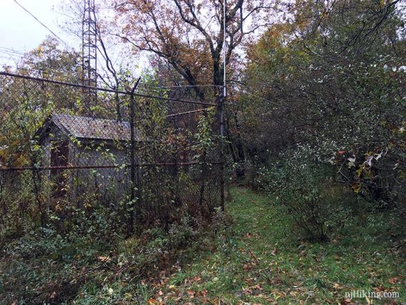
Start following an Unmarked Trail on the right side of the fenced antenna building.
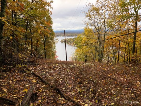
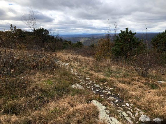
Come out to a wide view over New Jersey and meet up with the Appalachian Trail (WHITE).
————————————
Note for the return trip: Note this area, as you have a choice on the way back:
–Retrace via Unmarked to Acropolis to Appalachian = More gradual descent, longer, Unmarked may be a little hard to follow.
–Return via Appalachian Trail = Steep but more direct.
We chose to retrace via Acropolis as the rock slabs right in the beginning of the AT heading down were super slick.
Even though retracing is a little longer, it was likely faster than carefully picking our way down wet rocks. In dry conditions you may want to just take the AT down.
————————————
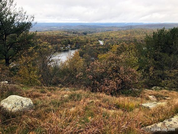
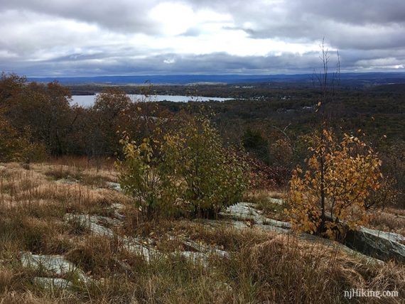
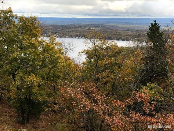
Big view over NJ with Culver Lake visible:
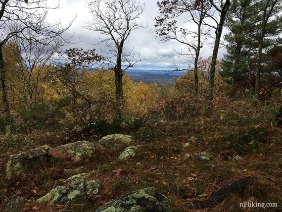
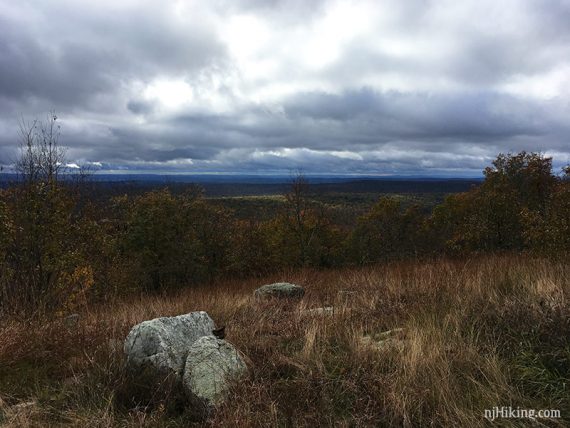
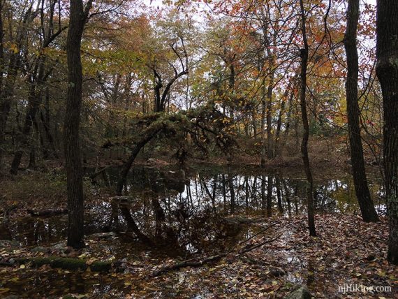
Short side trail to a limited view with rocks to take a break on:
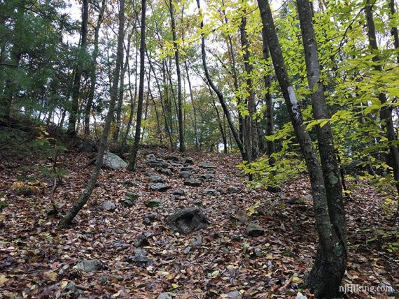
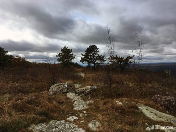
Continue on Appalachian Trail (WHITE).
Cross Brink Road, a very wide woods road.
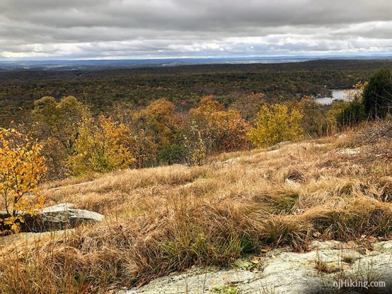
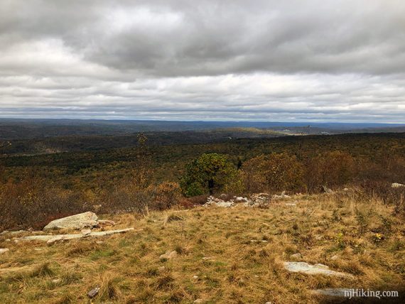
Big 180° panoramic view from Blue Mountain, looking over New Jersey and into Pennsylvania:
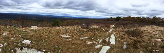
Blue Mountain summit, looking south:
Blue Mountain summit, looking west over NJ into PA:
Our Blue Mountain turn around point is usually a small group of rocks that make for a good snack spot, but there’s plenty more trail to keep going.
Retrace the route back. Taking Acropolis down on the return: