Hiking the Highlands Trail from Saffin Pond to the Beaver Brook Trail to Lost Lake, and back.
6/2021 – Found unposted photos and notes from a 8/15/15 hike on Beaver Brook to beyond Lost Lake and created a trail blog for them.
10.5 miles.
Overview: Highlands Connector (BLACK DOT on TEAL DIAMOND) – Highlands (TEAL DIAMOND, also a Highlands Diamond) – Beaver Brook (WHITE) to beyond Lost Lake and then retrace the route
Detailed hike guide on our main Beaver Brook Trail to Lost Lake page.
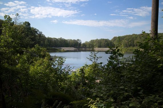
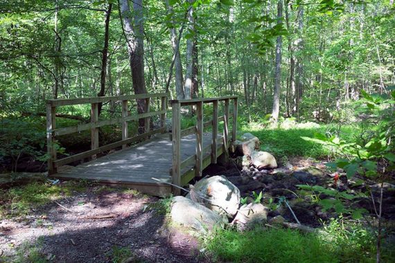
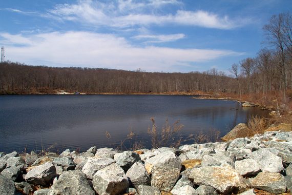
Hardly anyone on the trail. Saffin Pond right in the beginning with a bridge at the far end.
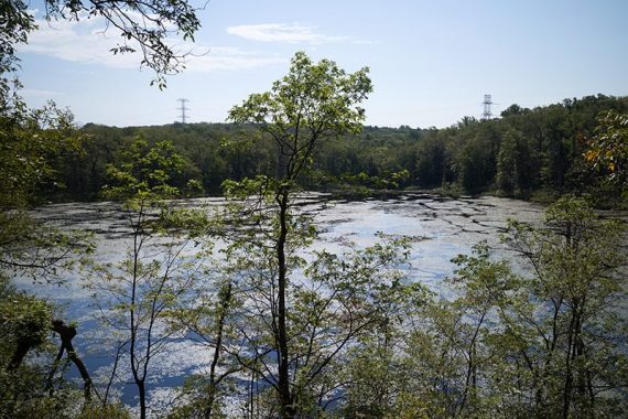
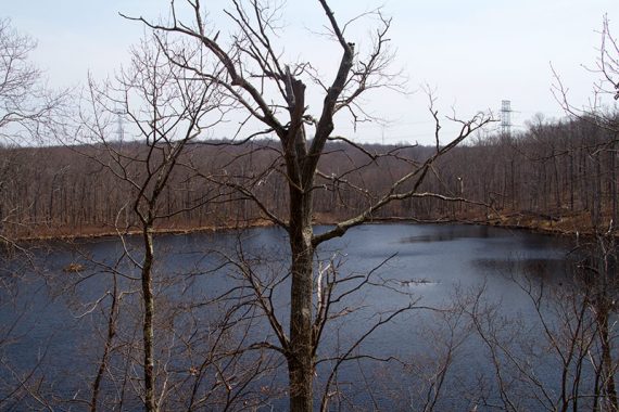
Lost Lake starts appearing through the trees.
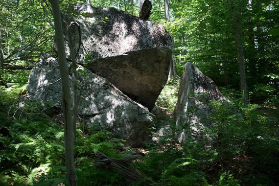
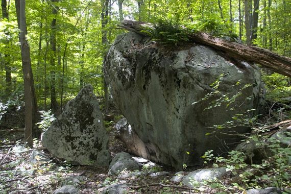
Continuing on Beaver Brook through Split rock.
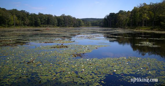
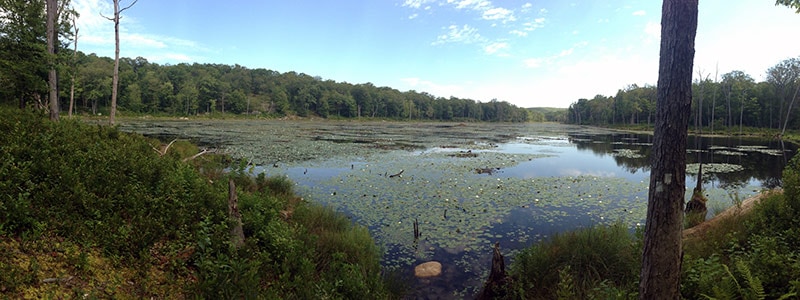
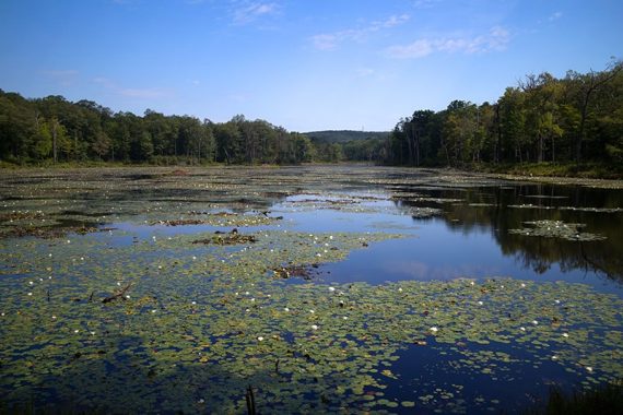
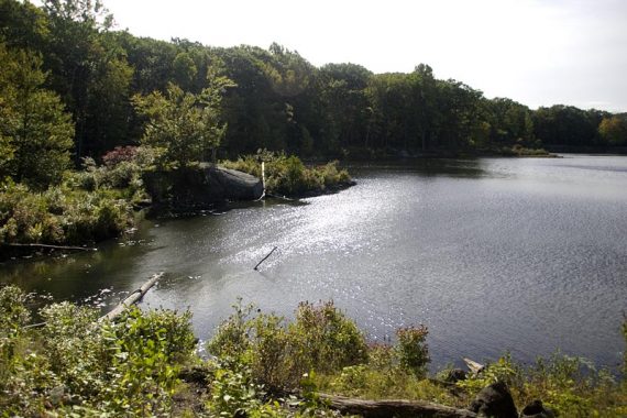
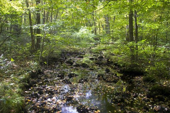
Water level of Lost Lake was low, with lot of lily pads.
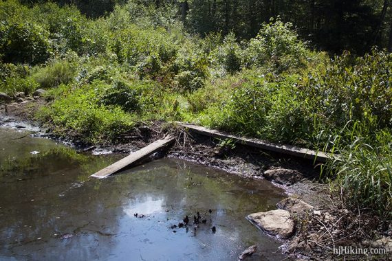
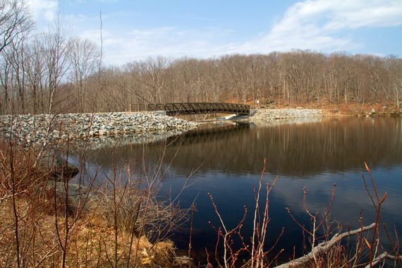
Continuing past Lost Lake, was able to cross this time on long wide plank.
We heard the loud pecking sounds of a woodpecker, then pretty sure the a call of woodpecker. Hiking this trail many years ago, possibly in 2006, is the first time we spotted a Pileated Woodpecker on a trail.
There were lots of overgrown areas, poison ivy eventually. Limited view.
Coming back on the Highlands Trail after the footbridge we spotted a mama bear with 2 cubs running away.
Below is an archive for the original hike guide directions that are no longer valid. The guide has since been updated to accommodate the Highlands Trail reroute in Mahlon Dickerson.
0.0 – Highlands Connector (BLACK DOT on TEAL DIAMOND) trailhead is at the back of the lot, not far from the porta-john. Almost immediately arrive at Saffin Pond – probably one of the quickest view payoffs on a trail, ever.
Head LEFT, following Highlands Connector (BLACK DOT on TEAL DIAMOND.
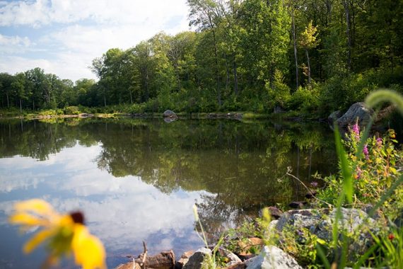
The trail hugs the pond and is very rocky. There may be fallen trees from beaver activity.
0.3 – At the end of the pond, near a bench, make a sharp LEFT onto a gravel path and start following Highlands (TEAL DIAMOND).
0.5 – At a T-intersection and a bench, turn RIGHT onto a woods road and continue following Highlands (TEAL DIAMOND).
[To the left, the woods road continues, unmarked.]
1.6 – Turn RIGHT and start following Beaver Brook (WHITE).
[Highlands (TEAL DIAMOND) goes left. Straight is an unmarked trail that is not on the park map but it is shown on the Morris County Highlands Trails leading to the yellow trail.]
2.1 – Continue straight on Beaver Brook (WHITE).
[The YELLOW trail crosses left and right]. There is a trail kiosk and sign stating you are leaving Mahlon Dickerson and entering Weldon Brook Wildlife Management Preserve.
[*Had it as Weldon Brook Wildlife Management Preserve but all maps seem like it’s actually Rockaway WMA.]
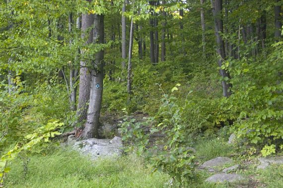
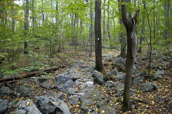
The trail becomes more rugged, traversing some rock slabs and heading downhill in spots. Cross a few unmarked trails.
Lost Lake will come into view. Optionally scramble down to the water’s edge for a photo opportunity but – wait to take a break at a nice break spot in just a bit.
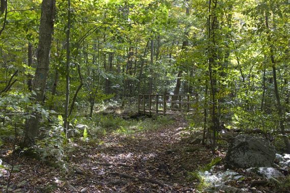
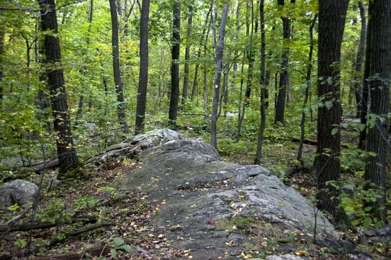
3.2 – The trail goes through a huge split rock called – amazingly – Split Rock.
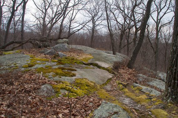
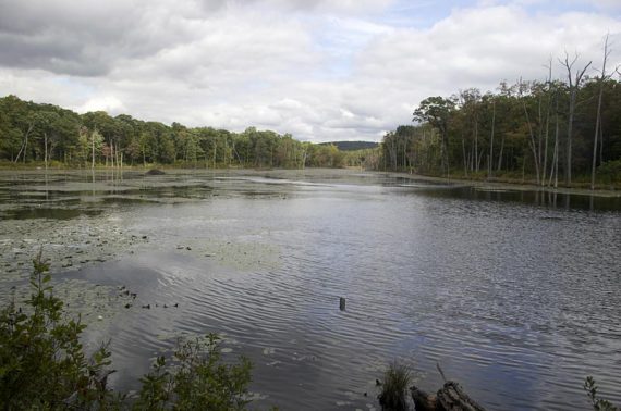
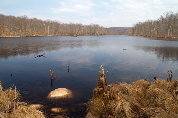
3.3 – The trail comes to the edge of Lost Lake with a huge log to sit on and enjoy the view.
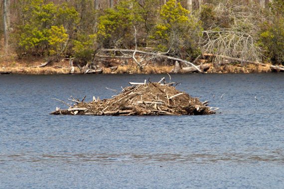
Two beaver lodges can be seen out in the lake, and the water is damned by trees and debris on the one end.
When ready, turn around and retrace the route back to the parking lot (or continue with the extension below).
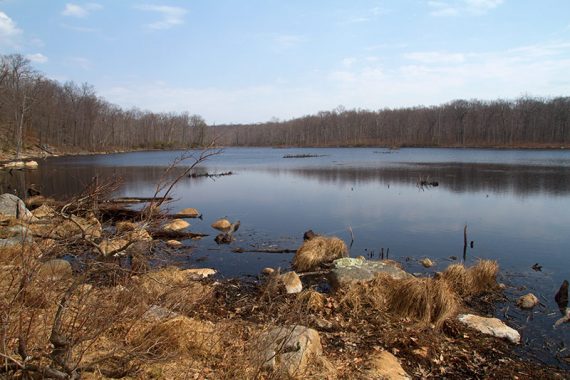
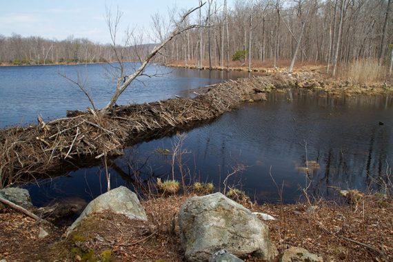
Beaver dam on Lost Lake, and more of their handiwork.
/// Optional extension: The Beaver Brook (WHITE) trail continues another 6+ miles to a parking lot on Berkshire Valley Road.
We did a 10.7 mile version of this route in 2009 but in 2014 a water crossing was too difficult (see Trail Blog links below for more detail). Those directions are included below.
There are a couple of viewpoints later down the trail but they are quite limited, and the trail is more rugged with several elevation changes from Lost Lake on.
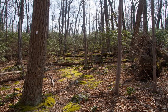
There are some unmarked woods roads that cross the trail here and there, so just watch the markers. The trail is mostly easy woods road, and passes some deer stands.
3.9 – Cross Beaver Brook – if possible.
In regards to crossing Beaver Brook at the power line cut: after perusing maps at home later, we saw that there is an unmarked trail a bit down the cut that may offer another crossing possibility.
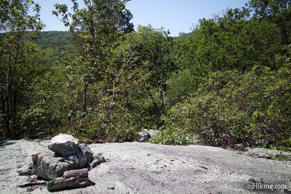
4.7 – Come down a large rocky slab that has a very limited view. Notice there is a rock cairn – turn RIGHT here and it’s not blazed, plus it looks like the trail could go straight.
Follow the rock piles until spotting WHITE blazes again on the left. The trail heads downhill, and the trail will change elevation more often and more steeply than before.
The trail continues on in this rugged way for the rest of the hike, finally ending at the Berkshire Valley parking area.
Just go as far as you like, keeping in mind you’ll have to hike back as much as you hiked in, or set up a car shuttle by leaving a 2nd car at the other lot.
It’s been quite a few years since we’ve started from the parking area on Berkshire Valley so we don’t have any current info on the state of that lot.