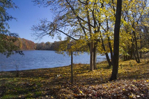
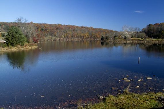
Pleasant, easy to moderate hiking in a forest surrounding a reservoir in southeastern Pennsylvania.
9.7 miles – Ranges from easy to moderate, some hills, trail surface has some rocks and a few stream crossings on rocks that aren’t too bad.
Hike Info:
- Shorter: 4.0 miles – Starting from boat launch, out-and-back on BLUE. To the turnaround spot described below… or go as far as you like and then turn around.
- Longer: Trails circle the reservoir so there are options for a really long out-and-back hike or around the whole reservoir (guesstimate based on the park map info: 17 miles by combing Blue, Red, Green, Perkiomen)
- The 20-mile Perkiomen multi-use trail goes through the park as well.
Our two cents:
The start of this hike is in a park setting and not the woods. While pretty, this isn’t really our cup-o-tea for a hike.
Also, the start was not clear, even using two maps. Consider parking at the boat launch parking lot which is later in the hike, and take the BLUE trail from there.
To go even longer, cross the big bridge on the RED trail.
The trails in the park allow equestrian use, so there is some horse manure and deep mud to watch for.
Map:
Print out the map from the park site or check at the visitor center or trail kiosks (the one in the amphitheater parking lot had maps).
We also used the map from the book below, which is somewhat different than the park map. Neither are perfect.
Books:
This route is a variation of the one found in Best Day Hikes Near Philadelphia. The description in this was very helpful for the beginning of this hike, and it’s worth getting the book anyway as there a lot of great hikes in it.
Since there are no blazed paths at the beginning, the book was the only way we found our way over to the BLUE trail.
Parking: N40 19.919 W75 29.017
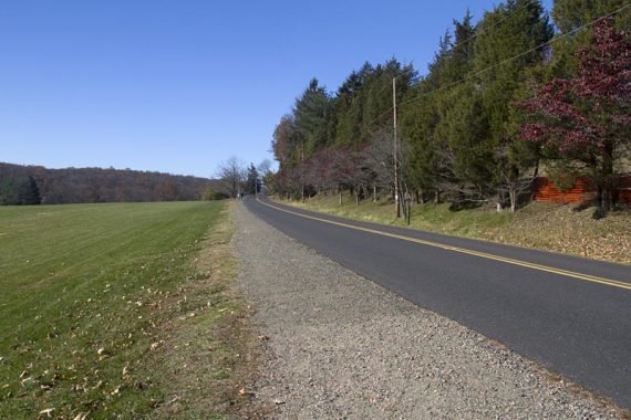
NJ Turnpike to exit 6 for the PA Turnpike (276W). Take 276W to the exit for 476N. Take 476N to exit 31. At the end of the ramp turn right for PA63N. PA63N until left on PA 29.
Right on Deep Creek Road. Left on Synder Road into the park. About 1.75 hours from central NJ. Tolls on the turnpike, and around $4 each way on the PA Turnpike.
Boat Launch Parking lot: N40 20.928 W75 29.483. There are also other parking lots for other trails in this park.
Restrooms:
Bathrooms in the parking lot. Also: Portable toilets at the amphitheater parking, equestrian campground, boat launch.
Hike Directions:
We were following Best Day Hikes Near Philadelphia for this hike and it was a little unclear looking at the map… but the book sends you to a scenic spot first that you’d miss otherwise.
0.0 – From the parking lot, facing the water – turn right and walk past the gate blocking the road.
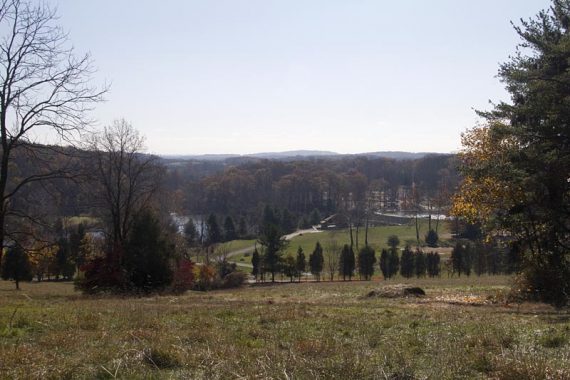
Take the road down to a bridge for views over the water.
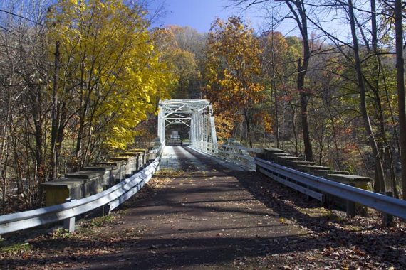
Note for doggie hikers: The bridge surface is a open metal grate that most dogs will probably want nothing to do with.
Backtrack off the bridge and take the path to the right, hugging the water.
At the dam, make a right to go over the it (you’ll have seen this dam from the parking lot). Once across the dam it’s not clear here what to do, there are no signs.
A paved path leads to the amphitheater parking area where there was a trail kiosk with maps. However, you can just cut across the grass, heading for the driveway that leads out to the road.
0.8 – The gravel Perkiomen trail runs along the road- turn LEFT onto it.
1.1 – Turn RIGHT, crossing the road. There is a sign for “Equestrian Campground” (it is facing the other direction)
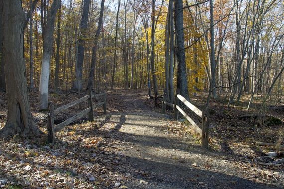
1.2 – Follow the path up and around. Turn LEFT at another “Equestrian Campground” sign for the start of the BLUE trail.
The trail goes through the woods for a bit before coming to a open campground area with no more BLUE blazes.
Follow the path through the campground, watching on the right for side path to a bench and overlook.
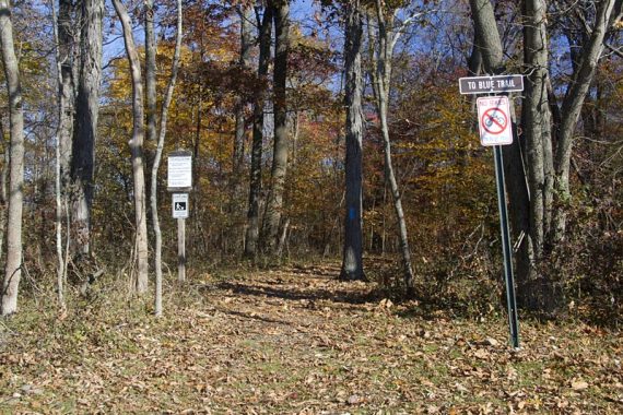
1.5 – Overlook and bench. Then head toward the wooden trail sign and porta-john – this is where the BLUE trail continues.
1.7 – Cross Hill Road and continue on BLUE. There is some traffic noise as the path is between the road and the reservoir.
The trail starts to head up and away from the reservoir.
2.6 – Turn RIGHT at the “Lower Trail” sign and follow the road to the boat launch. (there are no markers at this point).
Pass the BLUE trail on the left (unless you’d like to skip the boat launch; the BLUE trail meets up with this route just past the boat launch).
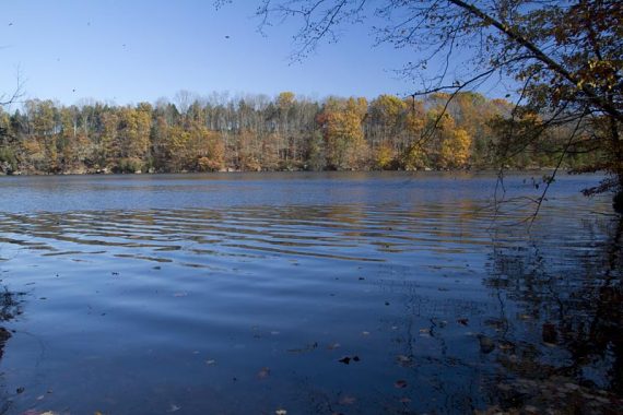
3.0 – Boat Launch. Picnic tables, porta-john, and view of the reservoir makes for a nice break spot.
To continue, walk across the parking lot to the “Nature Trail” sign to pick up the trail again (WHITE at this point).
Pass where the BLUE trail comes in from the left. The trail follows along the water.
Just before a bridge there is a WHITE marker for a trail heading LEFT (easy to miss).
The book route takes WHITE and meets up with BLUE later, however we decided to just stick to BLUE and not do it.
White/Blue trail. White leaves to the left here if you are following the book route.
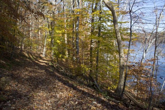
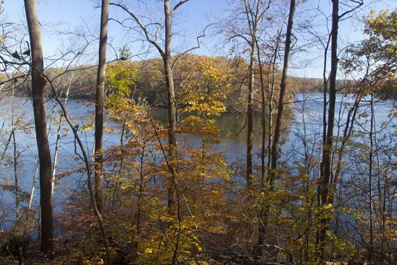
So, for this route… continue on BLUE as it hugs the reservoir. The trail feels a little more remote once away from the boat area and was very nice.
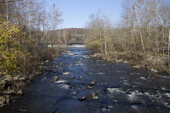
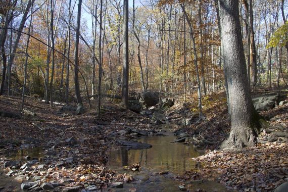
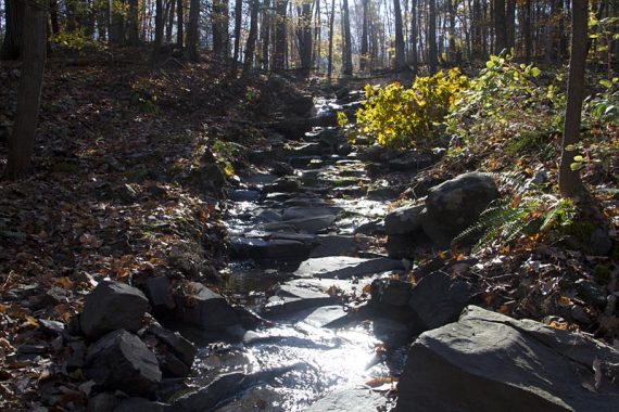
Cross a few streams, and go up an down a couple hills. There is an occasional unmarked path.
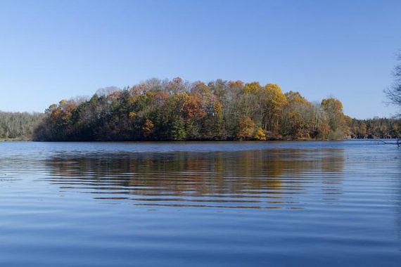
5.1 – We turned around at a large rocky stream crossing with a wide opening to the lake.
7.1 – As you approach the boat launch area, keep on BLUE as it veers to the RIGHT to skip going back to the boat launch.
7.5 – Cross the park road and turn RIGHT. Walk back to the “Lower Trail” sign and turn LEFT, following BLUE.
Retrace your route back to the parking lot.
—
Hiked: 11/6/11 – Trail Blog: “Green Lane Park“