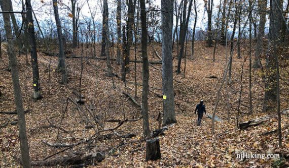
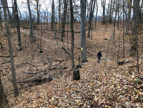
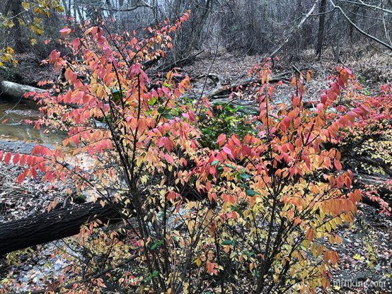
Hike rolling forested terrain around the edge of fields and an old farmstead.
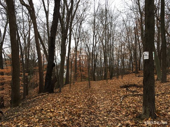
6.3 miles, surface is dirt with roots but not rocky, rolling hills with little elevation change.
- Shorter: 4.5- Ramanessin – Steeplechase (Cutting out Bayonet Farm)
- Longer: From the parking lot, cross the road to add trails from Holmdel North.
- Nearby: Tatum Park, Thompson Park – Monmouth.
Hike Info:
Our two cents:
Pleasant enough easy hiking and a way to get in some miles if in the area. Seems popular for trail running.
Stick to Sundays-only during deer season Oct – Feb, plentiful deer stands along the trail. Add in a visit to Longstreet Farms in the North section right across the road.
Updated: 7/2021 – Page refreshed, not re-hiked.
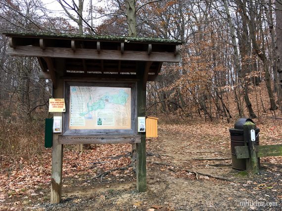
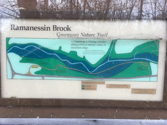
Map:
There were printed maps in the kiosk when we went, check at the main park across the street, or print ahead.
Parking: N40.36537° W74.18372°
Park site has detailed directions from various approaches.
Restrooms:
None at the trailhead; regular bathrooms down a bit and across the road at the Longstreet Farms or Forest Edge lots (potentially seasonal; Forest Edge was closed one January visit).
Hike Directions:
Overview: Ramanessin – Bayonet Farm Red – Bayonet Farm Blue – Ramanessin – Steeplechase
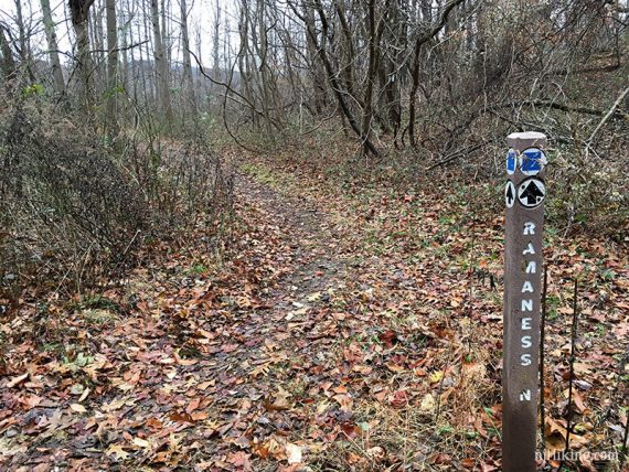
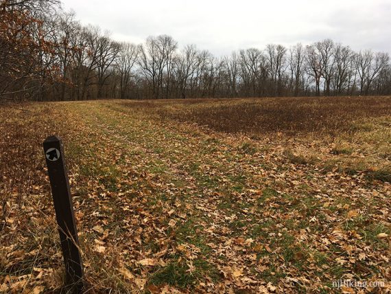
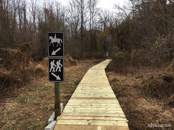
Note: In Monmouth County parks, trails aren’t marked by color. The shapes and colors denote difficulty (Green Circle means easy, Blue Square means moderate) and intersections usually have posts indicating directions by the name of the trail.
This is until the Bayonet Farms area where the trails are marked with colors.
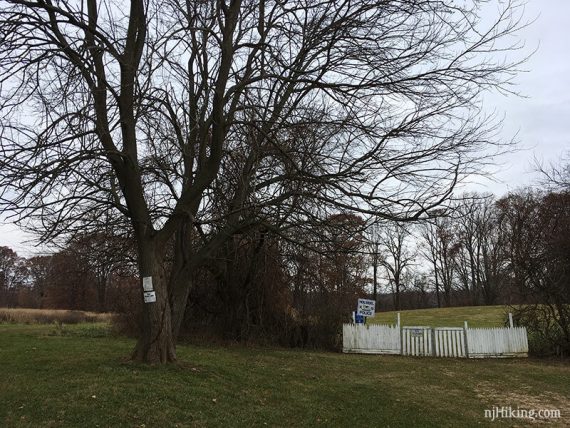
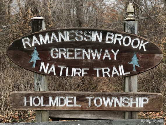
0.0 – A few steps past the trail kiosk is a marker post, turn LEFT to start following Ramanessin.
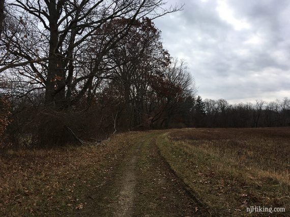
0.7 – Keep straight on Ramanessin. [Pass Homestead trail on the right, which connects to Steeplechase.
1.2 – Keep straight on Ramanessin. [Pass Fern Path on the right, which connects to Steeplechase.]
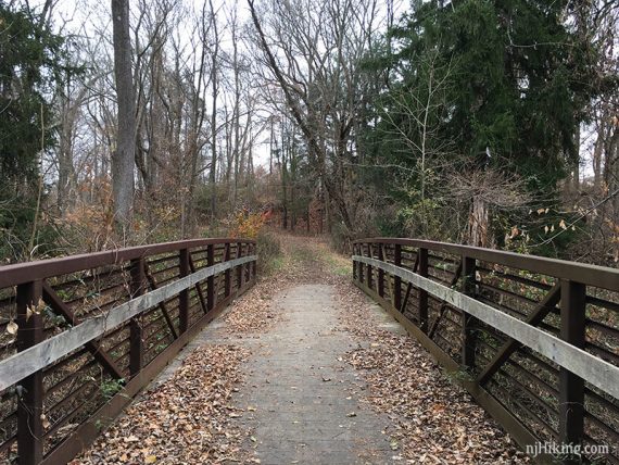
1.3 – The trail comes to a T-intersection. Turn LEFT and walk towards a footbridge and trail kiosk with a park map.
// Shorter Option: Don’t continue over the bridge, before it is a wooden fence, follow that up to the edge of the field and pick up the description at X. Even shorter: Don’t turn left, turn RIGHT to eventually run into the Steeplechase trail. Follow that back to the parking lot. //
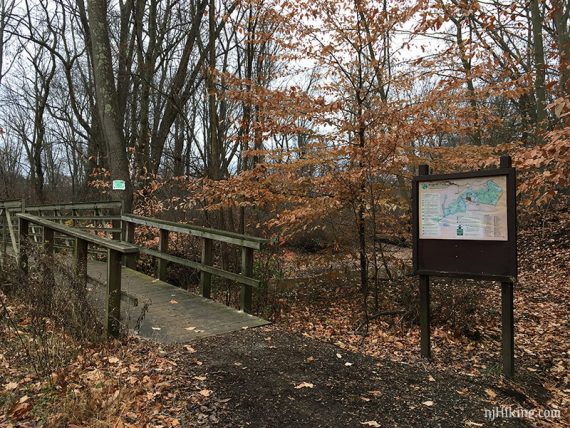
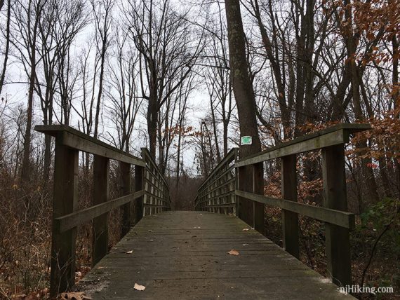
Continue over the bridge into the Bayonet Farms trail system.
In a few steps there is a marker, continue straight now following RED.
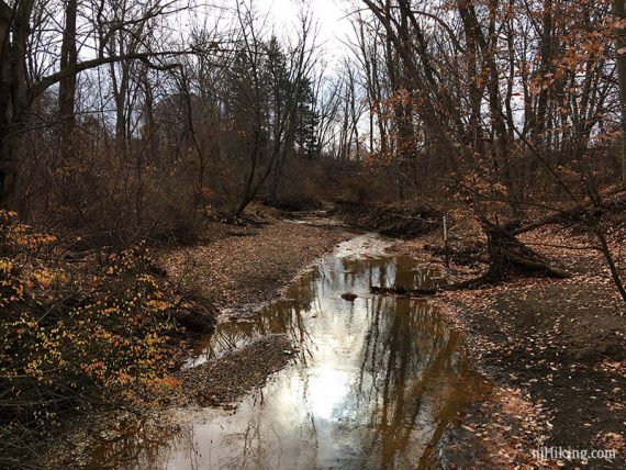
[To the right is a YELLOW side trail “Ramanessin Br” that is not on the map. This is a very short somewhat overgrown trail to the edge of a brook, with a bench]
1.5 – In a few more steps, follow the RED trail as it turns RIGHT [Trail also continues straight to the edge of the field and will be the return route.]
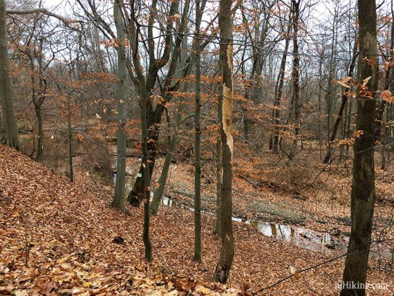
1.8 – Just after crossing water, continue on RED as it turns sharply RIGHT into the trees. [There is also a right turn to go along the field edge].
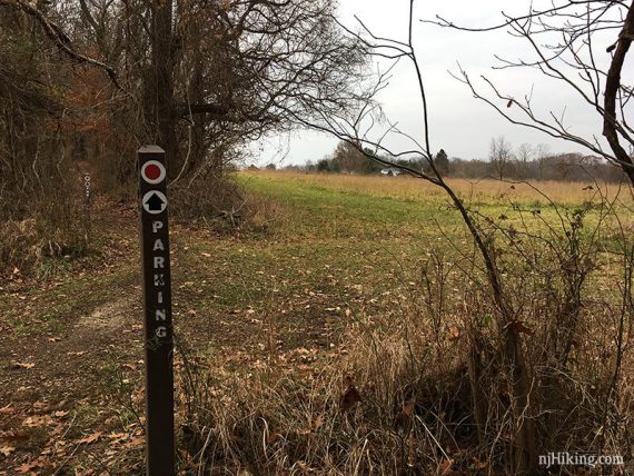
1.9 – Continue straight on RED at a 4-way “ intersection with BLUE, with “Parking” on the markers.
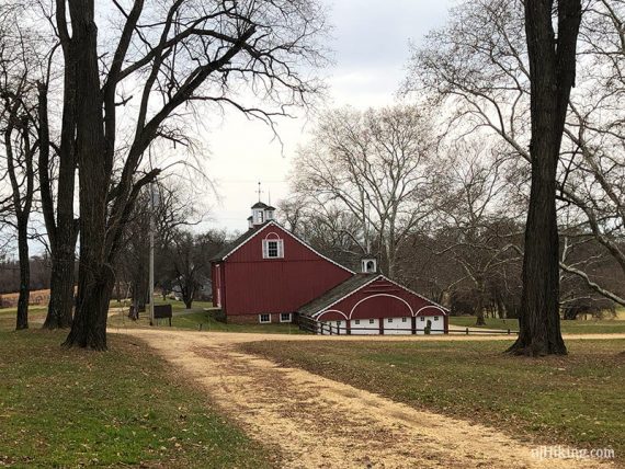
2.1 – Trail kiosk for Bayonet Farms, with photo of a map that has a QR code to load a copy of the map for the farm area.
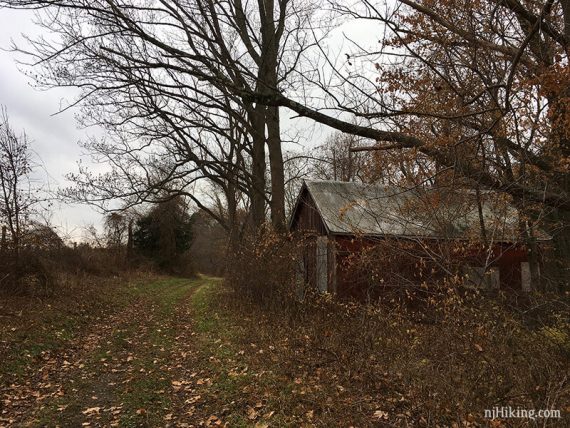
Turn LEFT and walk towards the Red Barn. [To the right I thought there was a no trespassing sign but later saw there is a WHITE trail supposedly in that direction.]
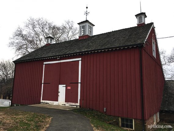
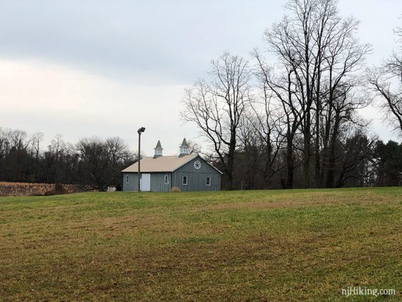
Past the barn, Turn LEFT and walk along field. Faint BLUE marker on tree. [Can also go check out the Gray Barn a little further on.]
Continue straight, passing an unmarked trail on the left (map shows this as WHITE) and a white picket fence with a “K9 Police” sign.
2.5 – Mid-way in the field, turn LEFT. No indication this is the trail (we were basing our turns on the trail map’s satellite photo).
2.6 – Continue straight through a 4-way intersection of RED-BLUE from earlier.
2.8 – Continue straight on BLUE, passing an unmarked trail on the right (map shows this as a white connecting trail).
2.9 – Just before a large farm with a large sculpture on the lawn, turn RIGHT back on RED briefly, then cross the bridge again and return to Holmdel Park.
[Shorter option: After the bridge, keep straight to hit Steeplechase eventually and take that back].
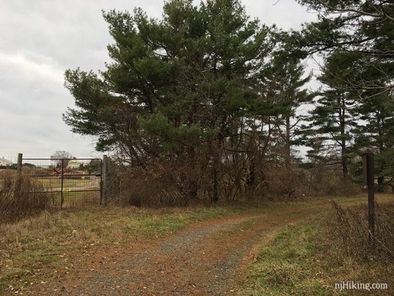
From the bridge, head around the fence and up a short hill on a casual trail, to the edge of a field.
3.1 – Turn LEFT and walk along the field to now follow Ramanessin again. [Remember this intersection for the return route].
3.4 – Immediately after a bridge, turn RIGHT to continue on Ramanessin. [A gravel path continues straight to the road].
At the edge of a field, continue to the RIGHT (left leads back out the road)
There are a few older, hard to read nature signs and increased traffic noise in this section.
4.0 – The trail ends at a sign along Middletown Road. (The map notes “to Ramanessin Greenway” but we didn’t notice where, and weren’t looking for more a hike this day anyway).
Retrace, back to the edge of the field noted earlier at 3.1.
4.9 – Turn LEFT and follow Ramanessin on a farm road. A trail joins in from the right and is also Ramanessin. From this point the trail is Steeplechase.
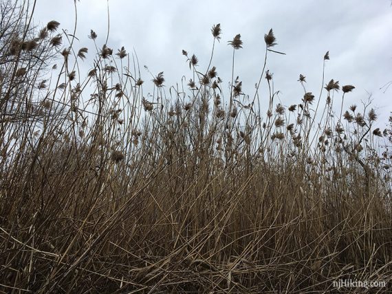
5.3 – Follow Steeplechase as it curves around to the RIGHT and then again RIGHT, in an area with high very high cattails. Shortly, follow it to the LEFT.
5.6 – Keep straight on Steeplechase. [Pass the other end of Fern Path on the right.]
6.0 – Keep straight on Steeplechase. [Pass the other end of Homestead on the right.]
—
Hiked: 12/3/17.