Finally got around to checking out the “Top of the Tourne”.
This park is kinda far away for the length of hike we could get out of it, but with another cold weekend we decided to check it off our list.
For detailed hike directions, maps, GPX, and more photos, visit our “Tourne County Park” page.
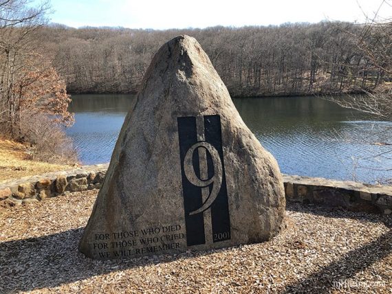
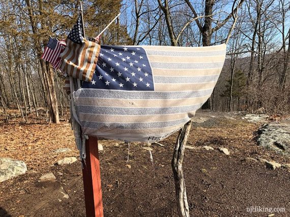
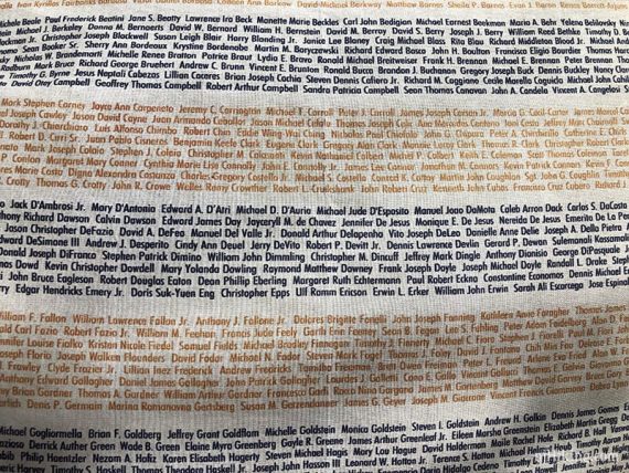
We started in the West lot because that has a porta-john and made our way to the viewpoint and the 9/11 memorial area.
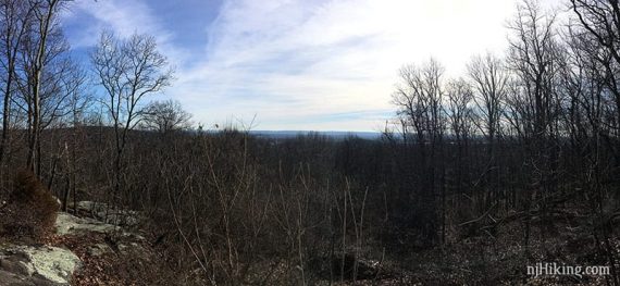
The view of the NYC skyline was pretty hazy and faint, which I expected since in the morning I knew we’d be facing right into the sun.
Because of that and the fact that the trees are still brown and bare, we didn’t bother bringing a telephoto since we’d just be schlepping it around the rest of the hike.
But if you want to see decent detail, you’ll need a zoom.
Took a quick side trip to the glacial erratic, “Mouse Cradle Balancing Rock” – an explanation of that is in the park brochure.
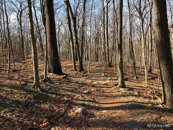
From there we took in every trail trail around the perimeter. The Wildflower Trail section was pretty even though nothing was in bloom – must be really nice in season.
The Evergreen loop which was just ok, and then we skirted off on to BLUE which was more interesting a trail than easy gravel RED. BLUE passes the remains of a “spring house” but that’s just a stone foundation at this point.
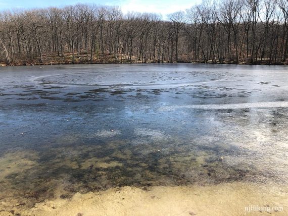
We looped around Birchwood Lake which was mostly frozen.
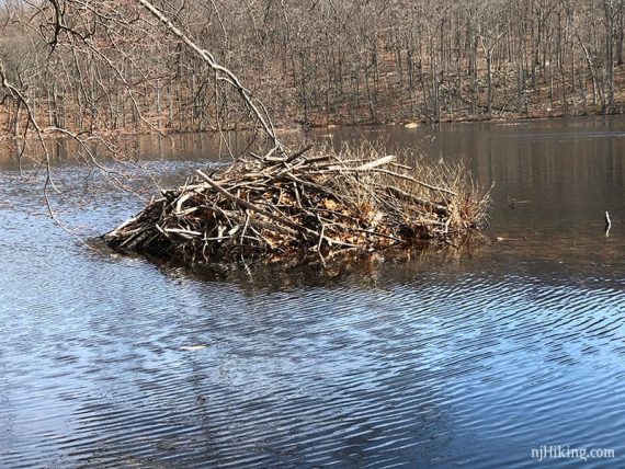
At the south end is a swimming area and a 9/11 memorial. Around the other side of the lake we spotted a beaver dam and then took RED the whole way back.
We were able to get 6.5 miles out of the park, so it ended up being worthwhile for the drive.
With stopping for pics it took about 3 hrs to hike and then we were off to get our current favorite, a 3 shot toffee nut macchiato.