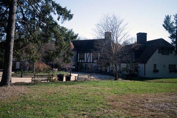
Pretty, well-maintained trails that are best for short loops plus a visitor center and small reptile house.
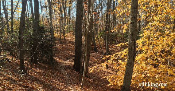
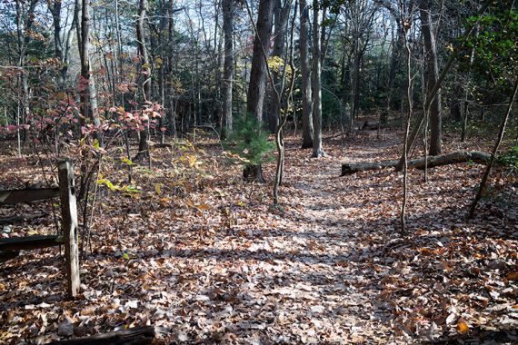
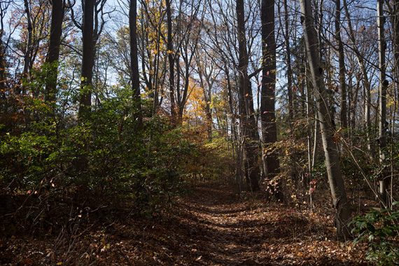
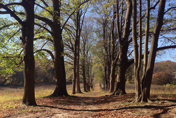
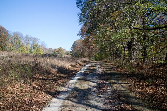
5 miles to do the perimeter of the park, minus the farm trails. Surface is packed earth with exposed roots, few rocks. Some minor hills along Many Log Run.
- Shorter: Multiple short trails under 2m each; link several for 3-4 mile loops.
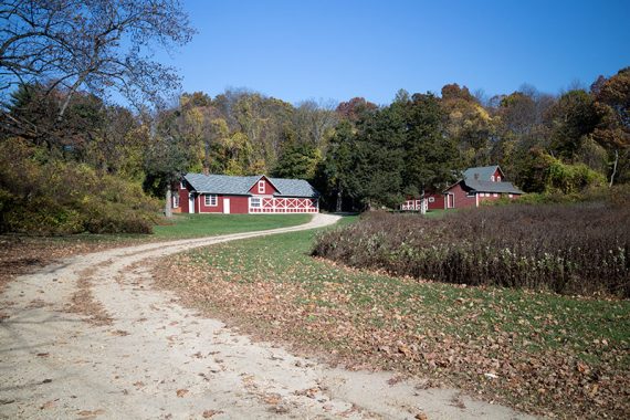
- Longer: Add walking around the Farm trails for an 1 mile or so. To get any more, you’d likely have to double back onto interior trails.
- Nearby: Hartshorne Woods.
Hike Info:
Our two cents:
Leans toward light hiking; also lots of trail runners, dog walkers.
The parking lot is in the center of the trail system which makes it very easy to cut a hike short if need be.
Avid hikers won’t find much to challenge them but is a nice option when looking for a nearby park to get 5+ miles in.
No real viewpoints, streams, or lakes. Park skirts the edges of yards at some points, some yard/road noise.
Some trails are multi-use bike/horse. Bonus: small reptile house next the visitor center has snakes and turtles.
Map:
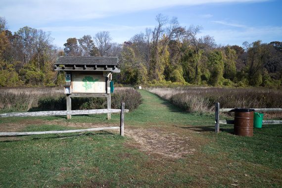
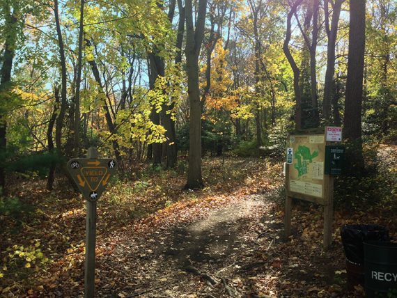
Print the map ahead or get one in the trail info station at the parking lot.
Plenty were available, plus ones for other nearby parks. The kiosk at Locust Point trailhead also had maps.
For the park map with our route highlighted: Huber Woods Trail Map.
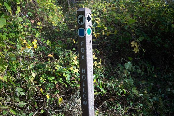
Note: On the trail map, a BLACK DIAMOND is challenging, BLUE SQUARE is moderate, and a GREEN CIRCLE is easy – not blaze colors.
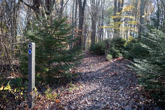
Most junctions have posts with the trail names but not all. Navigation can be a tad tricky. It may be easier to just meander instead of trying to follow a set route.
Parking: N40° 23.150′ W74° 02.066′
The entrance is down a well-graded gravel road. There is an additional lot on Locust Point Road.
Restrooms:
In the visitor center.
Hunting:
No hunting Sundays. Bow allowed in season, in certain areas, and we saw lots of deer stands along the trails. Park is closed to non-hunters certain days in January. Check site for current dates.
Hike Directions:
It is difficult to give clear turn-by-turn directions with the trail network/marking here, so we’ll provide an overview and a Huber Woods highlighted map.
Our plan was to simply keep right at every marked junction in order to circle the park for the longest loop possible; plus an out-and-back on Claypit Run (remove this section to reduce the hike by 0.8 mile).
–From the visitor center, the trailhead kiosk is in the field next to the parking lot. Right at the kiosk, the trail is split and veers left and right.
Follow it to the right… but there were no markers.
We followed the path along the field and when we had an option to keep straight or turn right, we turned right, then turned quickly left, and only then did we see a trail post marker.
Out-and-back on Claypit Run to the trailhead near the Locust Point parking lot.
–Most of the turns we made were at sign posts but two unmarked ones ended up being what we needed.
The right turn to start following Many Log Run was unmarked so we turned right at the 2nd one, which was marked but this ended up taking us clockwise and looping back on our route.
An unmarked left turn was needed continue on Many Log, it was near a wooden private property sign post and a white fence was in the distance.
–After crossing Bowne Rd., we don’t recall noticing the trail split in a V, but must have veered right anyway.
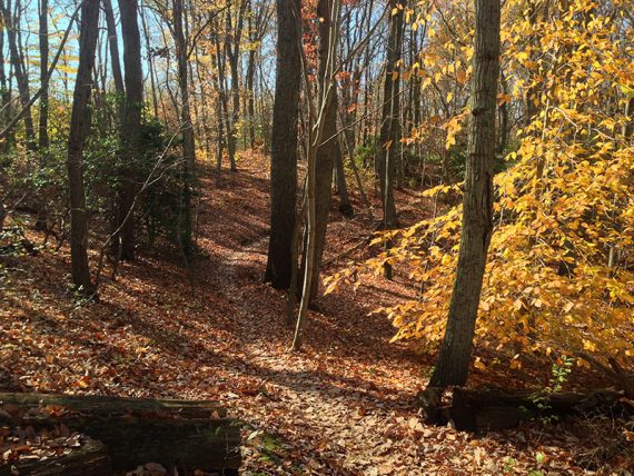
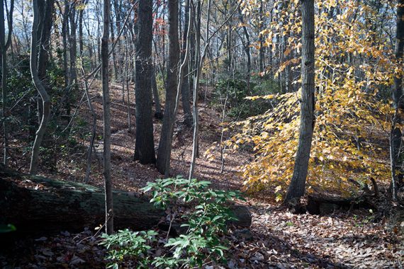
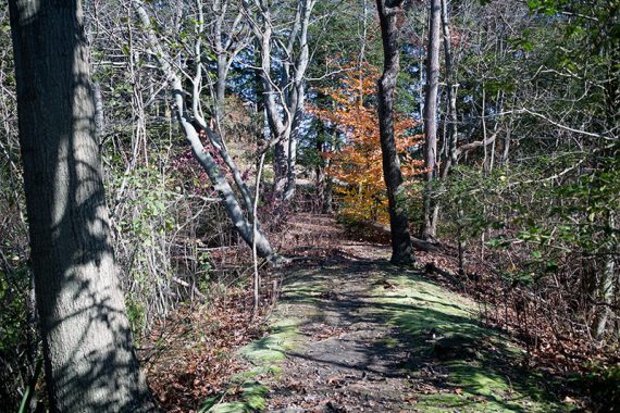
Trees along County Gait.
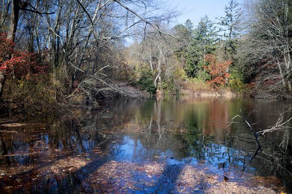
Pond on either side of a narrow strip of land
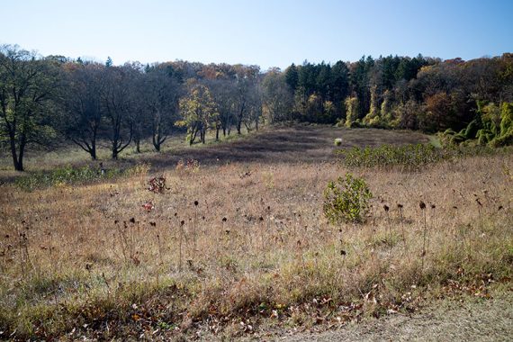
–On Country Gait near the farm, we decided not to turn right and walk the field paths around the Farm.
Instead we hiked straight past the buildings, crossed the park road, a gate, then followed the field path to the left.
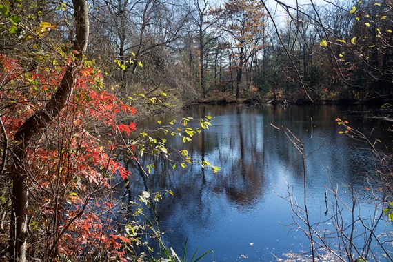
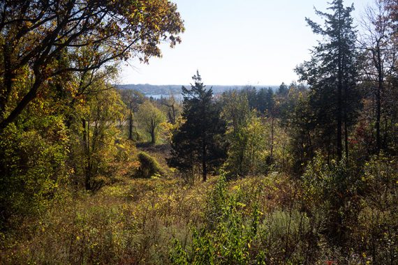
We walked over to the viewing platform on the Discovery trail near the parking lot for a limited view of the Navesink River. (all of this unmarked)
View of the Navesink River from the Discovery Path:
—
Hiked: 11/15/15.