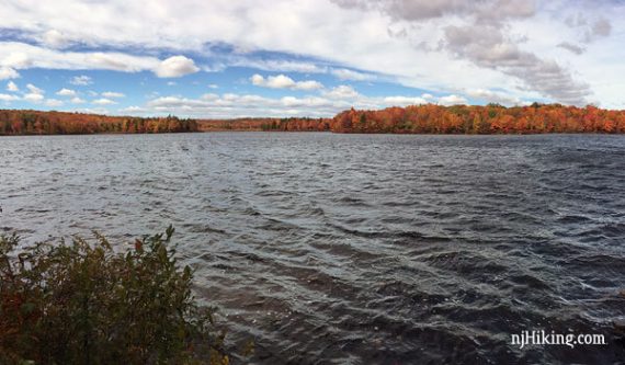
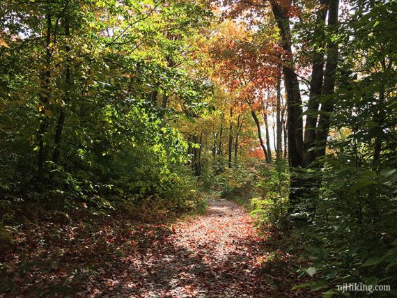
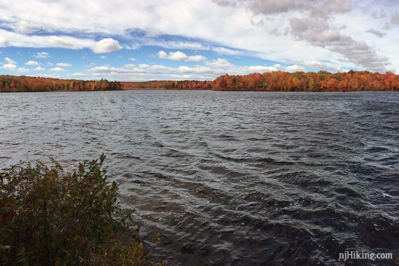
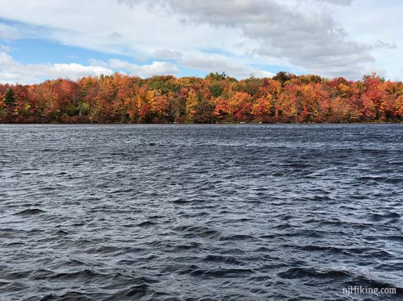
Loop around large Tobyhanna Lake on a flat, easy trail.
5.3 miles, easy, flat, old woods road – dirt, gravel.
- Shorter: Go part way around and turn back instead of the whole loop.
- Longer: 9.1 miles – add an out-and-back to Tobyhanna Rd on rocky Frank Gantz trail.
- Longer: Add an out-and-back on Range Trail.
- Nearby: Promised Land State Park.
Hike Info:
Our two cents:
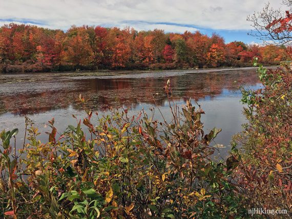
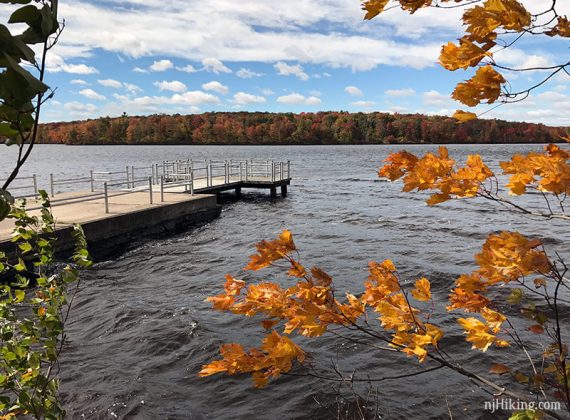
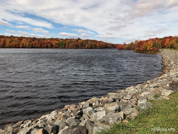
The Lakeside trail is similar to the trail around Manasquan Reservoir in NJ and is a good easy family-friendly loop. Nice foliage around the lake mid-October.
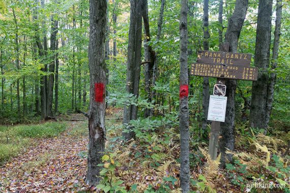
The Frank Gantz trail is an offshoot of the loop that can be used to extend the hike (all the way into Gouldsboro SP) but is super-duper rocky – even by PA standards.
So much so that we found it annoying to hike and don’t recommend taking Frank Gantz.
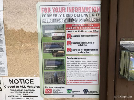
Fun Fact: The area was an artillery range during WWII and there are signs detailing what “unexploded munitions” you could possibly find – and, of course, shouldn’t touch…
Updated: 4/2020: Page refreshed, not re-hiked.
Map:
Print the park map ahead, or possibly in the trail kiosk – there was one the day we hiked.
Books:
This hike, starting from different lot, is in Hiking the Poconos (2026).
Parking: N41.19915° W75.40888°
Rt 80 W into PA, near Del. Water Gap NJ and Stroudsburg PA. Take 380N to exit 8 for 423E, towards Tobyhanna.
Follow 423/Main St left then right thru town. Park entrance on left, just before the dam.
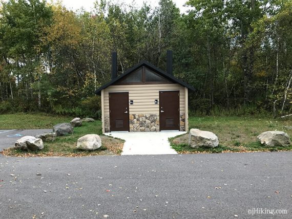
Restrooms:
Composting toilet in the parking lot by the dam. Bathroom building by the beach.
Hike Directions:
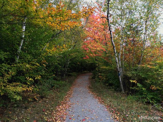
Overview: Follow the Lakeside Trail (BLUE) clockwise from the parking lot near the dam, and loop around the lake.
0.0 – Walk past the trail kiosk at the end of the parking lot, and head towards the lake to pick up the Lakeside (BLUE) trail.
2.3 – Pass the start of Frank Gantz (RED).
3.1 – Pass the start of the Range Trail.
3.2 – Lakeside Trail (BLUE) makes an easy to miss LEFT. [If you zip right past it at first like we did then you’ll start to wander towards the camp area.]
3.5 – Come out to a park road and turn LEFT and follow that over the water.
Walk on the shoulder of the road for a bit and then turn RIGHT to get back on to the trail. Don’t recall any markings for this.
The trail hugs the lake in this area.
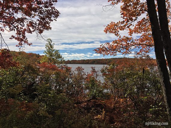
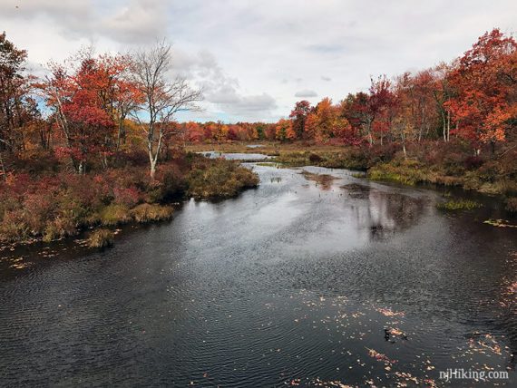
4.2 – Pass the beach area (and restrooms). The trail continues close to the lake for nice views.
4.7 – Pass a dock near the boat rental area.
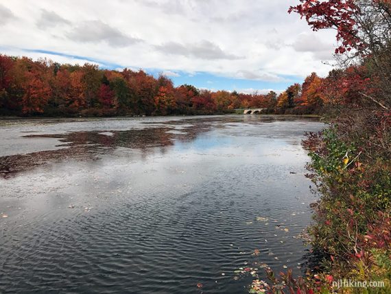
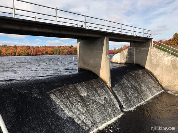
5.2 – Keep to the left trail and not up on the berm as you approach the dam spillway.
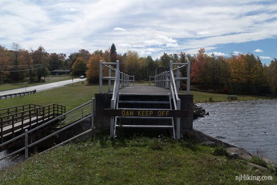
You can’t walk across the dam and instead cross below it on a bridge. [If you do walk on the berm to the dam, you can walk somewhat steeply back down at the end].
—
Hiked: 10/9/16.