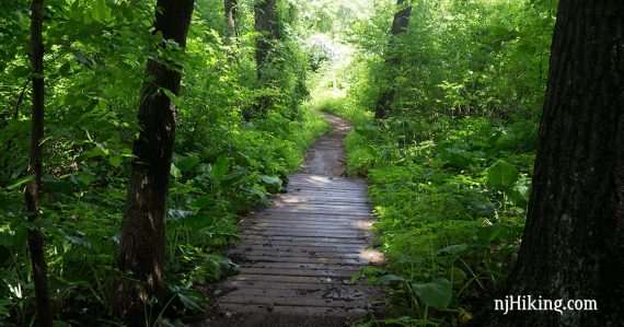
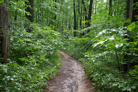
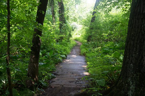
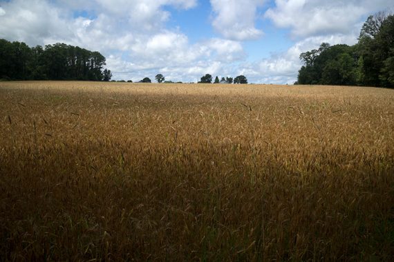
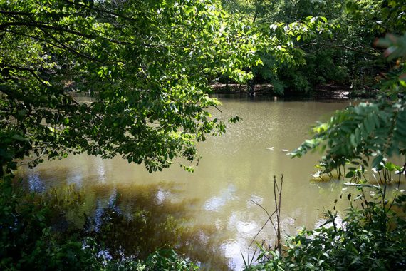
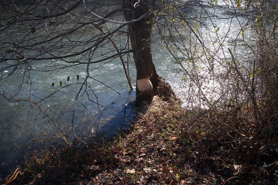
Hike over rolling forested hills and along Doctor’s Creek in a small park surrounded by Jersey farmlands.
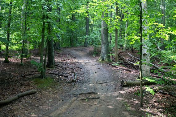
4.4 miles. Hilly, packed dirt, roots but not a lot of rocks.
| 4.4 miles | This hike guide: Detailed instructions and photos follow below. |
| Shorter | Glen loop: 0.7, Bridges loop: 1.8 from the trailhead; other loops from combining trails. |
| Longer | 5.6 – Add the Clayton Fields Trail to this route. |
| Nearby | Perrineville Lake Park; Turkey Swamp County Park; Forest Resource Education Center; Mercer County Park; Union Transportation Trail. |
| Nearby | Prospertown Lake Kayak. |
Our two cents:
Worthwhile for a moderate or short hike in a pretty, farm-filled area of central Jersey.
This park was recommended to us multiple times but we kept avoiding it as it’s known more for biking. It’s not been an issue, we’ll briefly see a bike or two, but your results may vary.
The somewhat newer Clayton Fields Trail can extend this route. It just follows the edge of a field, is not that interesting, and abutted a few backyards – only do it if you’re looking to get more distance.
Updated: 7/2024 – Page refreshed, not re-hiked. 1/2023 – Page refreshed; re-hiked with Clayton Fields Trail. Older change log at page bottom.
Hike Info:
Map:
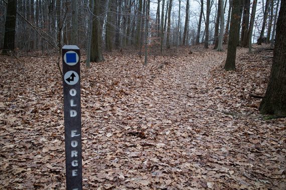
Print it online or there were some in the trail kiosk. There are signposts at trail intersections instead of color-coded blazes. Follow along on your smartphone with our Interactive Map link above.
While this isn’t a large park, the network of trails can get confusing and it’s easy to lose track of where you are on the trail map.
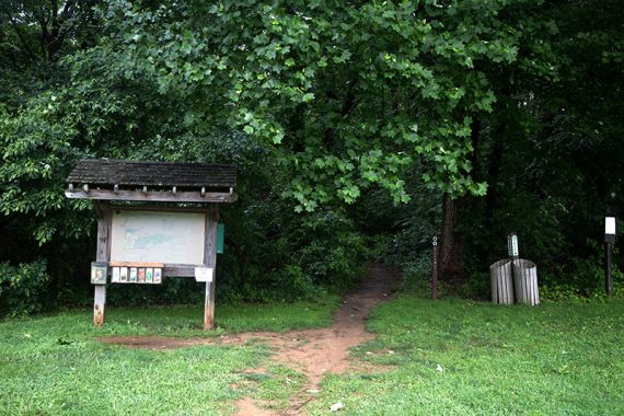
Parking: 40.1559,-74.5045167
“Clayton Park parking lot”. 161 Emley’s Hill Rd, Cream Ridge, NJ 08514. Large dirt lot.
Restrooms:
Portable toilet in the parking lot.
Hike Directions:
We usually do the perimeter of the park by stitching multiple trails together to create the longest route here. Keeping RIGHT at every intersection is the easiest way to navigate here and is also a solid route.
It’s easier to show than explain the route step-by-step:
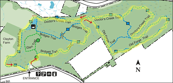
Starting from the trail head kiosk, we just kept turning or veering RIGHT at intersections:
- Glen Trail
- Bridges Trail
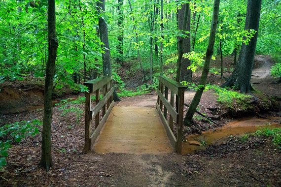
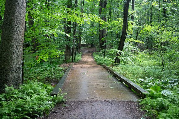
- Over two wooden bridges
- Old Forge Trail
- Doctors Creek Trail
- Over a bridge again
- Doctors Creek Trail
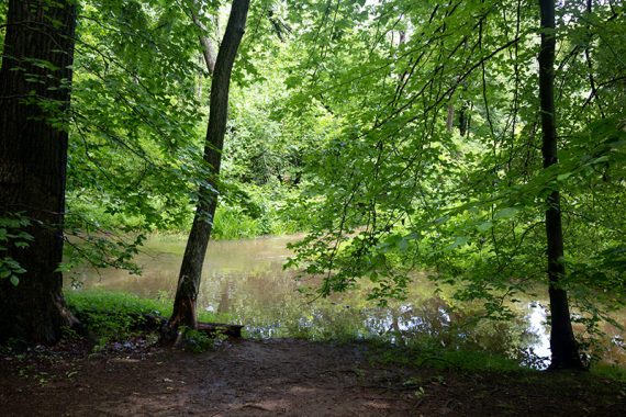
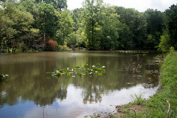
- Over a bridge/boardwalk to a field near a pond. Optional add on: Turn RIGHT and take the Field Trail around (not shown on the highlighted map above).
- Bridges Trail past a field edge to the other end of the parking lot.
—
Hiked: 1/15/23. w/Fields Trail.
Hiked: 1/27/19.
Hiked: 1/1/18. ~1-2″ Snow. Trail Blog: “Clayton Park on New Year’s Day 2018“
Hiked: 6/28/15.
Hiked: 1/01/15.
Hiked: 12/14/14.
Updated: 7/2021 – Page refreshed; not re-hiked. 1/2019 – Re-hiked. 6/2018 – Minor tweaks. 1/2018: Linked to newer map file; updated GPX, added Interactive Map.