Forests, fields, and Perrineville Lake along two easy trails.
6.5 miles, dirt, a few minor hills on Rocky Brook.
- Shorter: Just do Lakeside Loop (1.5) or Rocky Brook (4.8 RT) or do less of Rocky Brook.
- Shorter: A separate 1-mile trail off of Baird Ave (did not do this).
- Longer: Out-and-back on Quail Trail adds 1-mile and/or Rocky Brook Trail has a link to Assunpink WMA.
- Nearby: Clayton Park; Turkey Swamp; Union Transportation Trail; Monmouth Battlefield; Mercer County Park; Thompson Park – Middlesex County; Thompson Park Conservation Area.
- Nearby: Prospertown Lake Kayak.
Hike Info:
Our two cents:
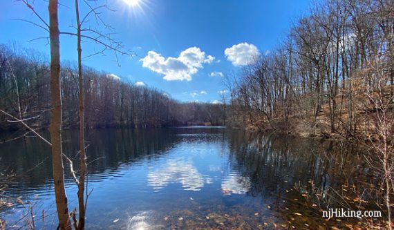
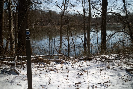
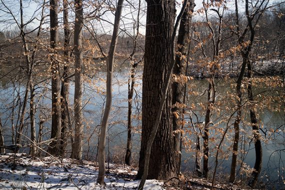
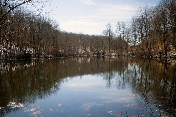
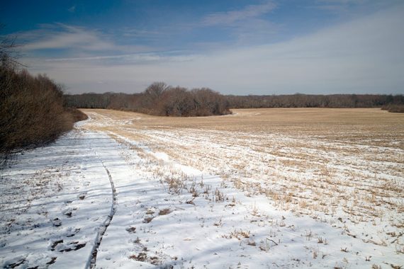
The small pond on Rocky Brook Trail is more scenic since you can get to the edge of it (photo at top of this page). Perrineville Lake is seasonally visible.
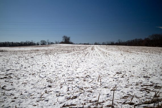
Nice to get a decent length hike in a relatively remote feeling area, but not something to drive real far for. Trails skirt several fields which, while pretty, are not everyone’s idea of “hiking”.
Updates: 3/2020 – Re-hiked, minor changes. 1/2018 – Updated map link, minor description changes.
Map:
Paper map in the kiosk or print ahead.
Books:
None that we know of.
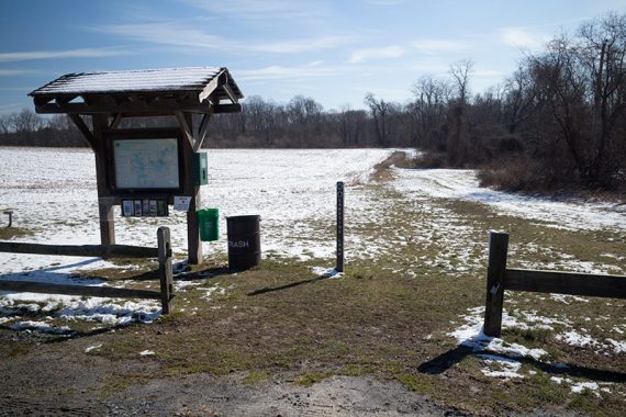
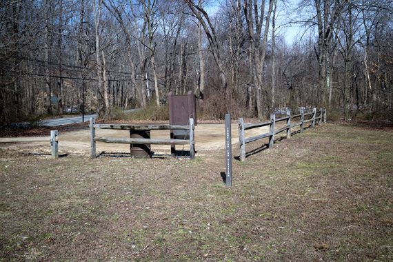
Parking: N40.22219° W74.44508°
Small dirt lot on Agress Rd Millstone, NJ 08535.
N40.22369° W74.47263° – Another parking area is N. Rochelle Ave at the end of Rocky Brook Trail but is not shown on the map:.
Restrooms:
Porta-john in the Agress Rd. lot; none in the N. Rochelle lot.
Hike Directions:
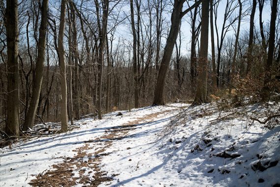
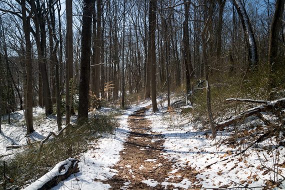
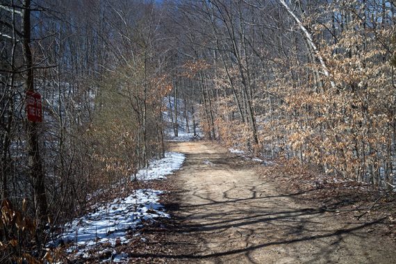
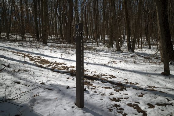
Trails in Monmouth County are marked by difficulty and not by color blazes, and all trails here are BLUE SQUARES. With just two trails it’s easy to follow.
The trails leave in different directions from this lot. We did the Lakeside Loop first and then Rocky Brook. The directions are split into those sections as many people will do one or the other and not both.
Lakeside Loop:
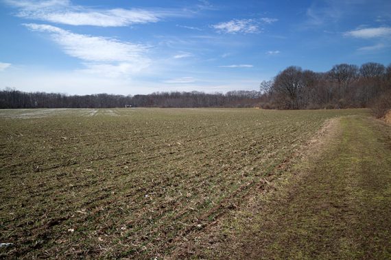
0.0 – The trail starts at the kiosk in the Agress Road parking lot. Follow the trail along the field.
0.1 – Splits; turn LEFT. Keep following the direction of the arrow on the marker posts.
0.6 – The trail turns right and heads into the woods.
Perrineville Lake comes into view but may be harder to see when leaves are on the trees. The trail is above the lake and does not get right to the water’s edge.
1.4 – Follow the arrows to turn right, away from the water, and back along fields to the parking lot.
Rocky Brook:
0.0 – From the parking lot, facing the road, walk RIGHT through the fencing into the field toward a hike post. Walk along the field to a fenced area to cross Agress Road. The trail runs near a house for just a bit.
0.9 – Small pond.
1.6 – After entering the woods again from a field, pass an unmarked trail on the right that is labeled “Quail Trail” on the map.
——
Longer Option: Add 1.0 mile roundtrip by with an out-and-back on Quail Trail. It ends at Fairplay Avenue. The only time we hiked this (2016) the trail was not marked much and hard to follow in the snow so we bailed on it and removed it from the hike route.
——
1.8 – Pass a marker on the left for a side trail that leads to Assunpink WMA.
——
Longer Option: Take the trail to Assunpink WMA. Unsure on the miles. On a whim we tried this in 2020 but had to turn around when we ran into firefighters doing a prescribed burn.
——
2.4 – Hike at the edge of a farm field before arriving at the parking area on N. Rochelle Road.
Retrace the route back to the Agress lot.
—
Hiked: 2/29/20. Alt: Skipped N. Rochelle; + .8 m RT towards Assunpink.
Hiked: 1/14/18. Trailblog: “Frozen trails at Perrineville Lake Park“
Hiked: 3/5/16.