The D&R Canal towpath from Lambertville at Mt. Hope St. to Frenchtown in New Jersey, then returning on the Pennsylvania side.
It was hot again so we opted for a bike ride, and it had been awhile since we’d done the D&R Canal from Lambertville all the way to Frenchtown, so that’s where we headed.
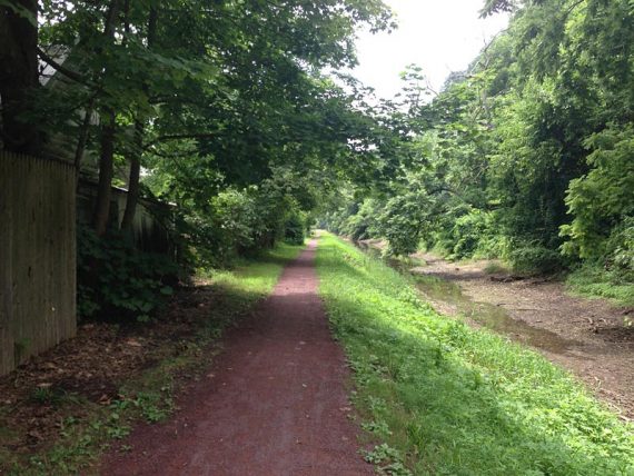
We started in the small parking area on Mt. Hope street and headed north, soon crossing the main street in Lambertville. The ride was easy and pleasant as usual, and mostly in the shade.
For D&R and D&L trail resources/maps, see our Delaware Canal Towpath overview.
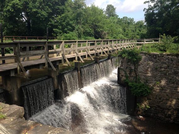
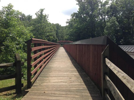
Bridge crossing one of many locks.
As we sat on a bench in Frenchtown having our snack, we decided we should see what the Pennsylvania side is like.
When I was looking over our GPS data the night before, I realized we didn’t have any for crossing over into Pennsylvania from Frenchtown.
Hunh, maybe we’d never done that.
Still, we had planned to just do an out-and-back on the New Jersey side as I didn’t have time to check on the conditions or info for the towpath on the PA side. (The towpath ends in Frenchtown, so to continue north requires heading over the bridge into PA as well.)
But then again, we have a tendency to change planned routes on a whim if the fancy strikes us.
“Let’s just go check it out. It’ll be an adventure.”
Famous last words.
The fun began just after we walked our bikes over the bridge and into Uhlerstown and arrived at a busy intersection with River Rd. with no indication of where to pick up the towpath.
There could have been a sign, but we didn’t see it.
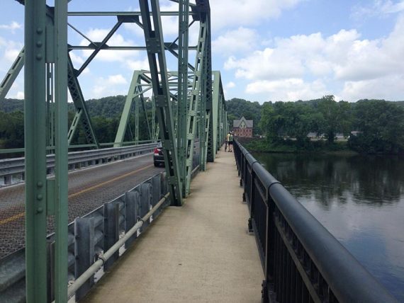
Walking the bike across the bridge from Frenchtown.
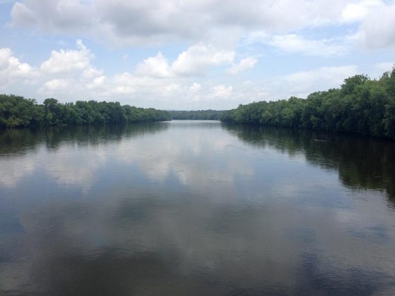
Delaware River from the bridge from Frenchtown, looking south.
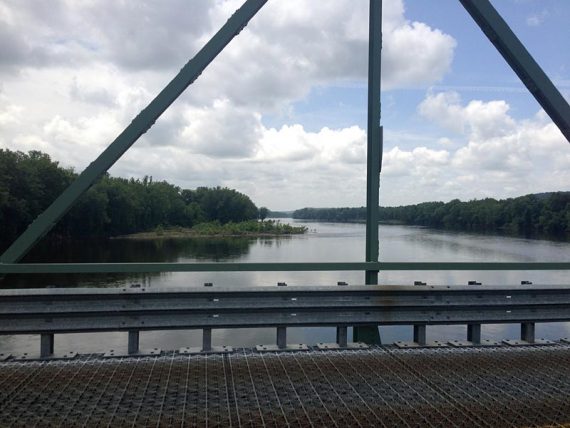
Delaware River from the bridge from Frenchtown, looking north.
We crossed and turned left, heading in the direction we wanted to go, and briefly rode along busy River Road to a small street on the right. Still no sign. We expected the towpath to run along the water like it usually does.
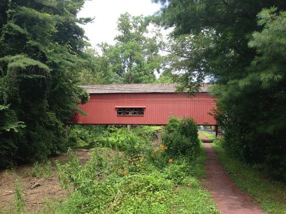
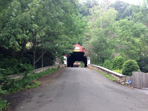
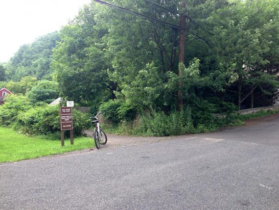
Checking our GPS topo we spotted what looked like a canal down the road (Uhlerstown Hill) so we rode down. We ended up at Uhlerstown Covered Bridge and on the left was a sign to get onto the towpath.
Uhlerstown Covered Bridge.
Sign near Uhlerstown Covered Bridge.
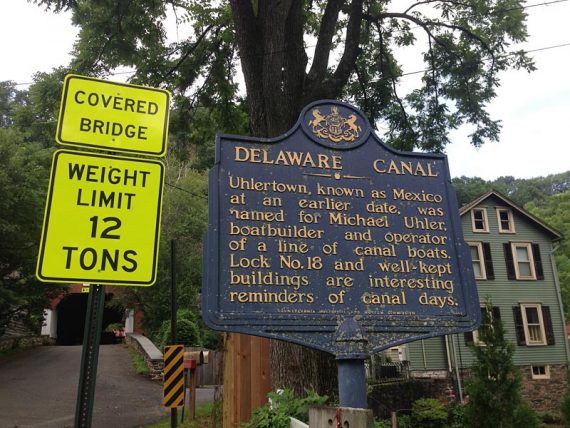
Make a left to rejoin the towpath from Uhlerstown Hill Road.
Uhlerstown Covered Bridge from the towpath, though you don’t drive under it on this route. (For a route that goes under the bridge and heads north on the D&L, see “D&L Canal – Frenchtown to Riegelsville, PA.”)
Later at home I noticed there is a detail of this area on the foldout park brochure, but I’d only brought a printout of the towpath overview. Wandering off on a whim does have it’s drawbacks.
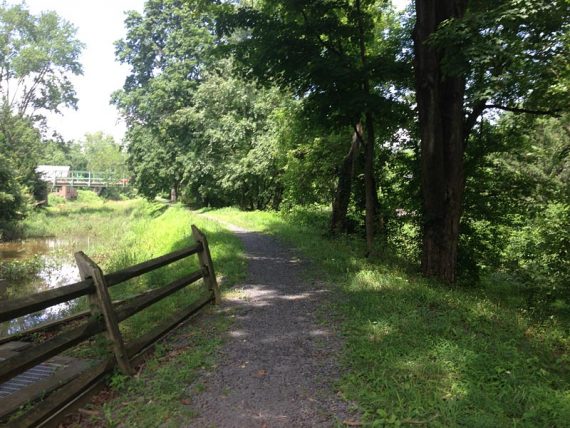
It was nice smooth sailing for awhile. It’s quite pretty along the canal and the towpath passes some nice houses and backyards on the left, as well as across the canal on the right.
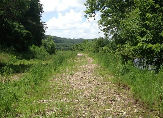
Then the path started to degrade little by little. I am not sure when, because it wasn’t a big deal at first, just rough gravel that was less than ideal. The end of that came at around N40 25.359 W75 03.884.
It got more and more annoying – until it was this mess of lumpy rocks and a narrow riding area due to flood erosion.
Bumpty-bumpty-bump. I was less than thrilled. There’s a reason we choose rail-trails over mountain biking – and this is it.
And there wasn’t much shade on this side of the river so it really felt like it went on forever. (The end of the worst stretch is around N40 24.815 W75 02.868)
Rough gravel section.
At the end of the flood eroded section. It was worse than this, but we didn’t stop for photos as we wanted to just get away from it.
Finally, the towpath got back to normal and we rode into New Hope where walked our bikes a few blocks through town and over the bridge, detouring for ice cream in Lambertville before riding back to the car.
Our two cents:
This is a fantastic ride – but that rough and damaged section kinda stunk, and it comes smack in the middle of the PA section. Until that section is repaired, consider doing an out-and-back on the Jersey side when biking Lambertville to Frenchtown.
Even though you’re retracing the route, it feels different when heading in the other direction. The mileage is probably only a few miles shorter.
Miles: 33
Parking: N40.36235° W74.94447°
Mt. Hope street parking.
Restroom:
Porta-john at Jimison Farms, right along the towpath. Actual bathroom along the PA side not long before the bridge to Stockton [at Virginia Forest Recreation Area on park map]