Hike short trails to the ocean and bay sides of a barrier island, and along an undeveloped beach with views of Barnegat Lighthouse.
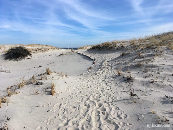
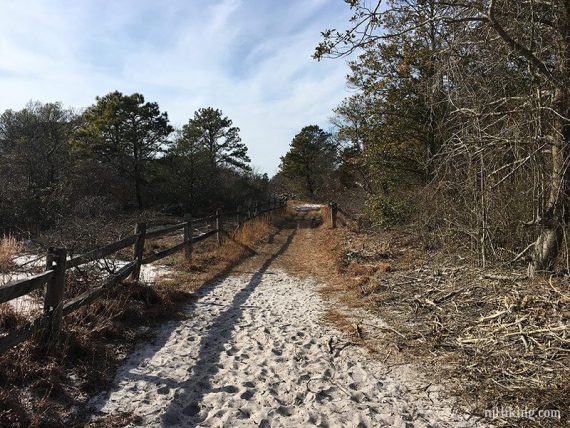
7.6 miles – combining multiple trails with drives between. Surface is mostly level and varies between easy dirt and deep, soft beach sand. One trail is an ADA accessible boardwalk. Can be windy, and it increased as we approached the inlet.
- Shorter: Hike fewer sections.
- Longer: There are a few more short hikes (Aeolium and Tidal), or walk longer on the beach.
- Nearby: Cattus Island Park; Jakes Branch County Park; Double Trouble; Wells Mills County Park; Barnegat Branch Trail.
Hike Info:
Our two cents:
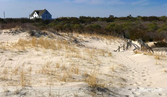
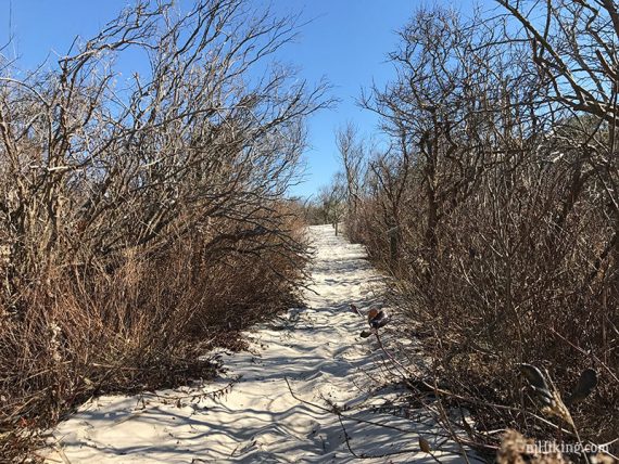
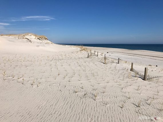
Hike to both the ocean and the bay from the middle of a skinny strip of raw, undeveloped Jersey shore. Bundle up against a brisk wind in winter to avoid the bugs (and crowds) of warmer months.
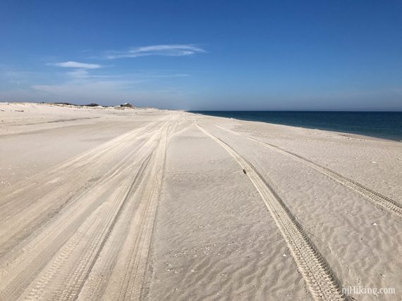
When walking along the ocean, the sand can get tedious to trudge through and it may be easier to walk in the tire tracks or at water’s edge (but in season you might be dodging fishing poles).
We used our usual hiking shoes but sneakers/sandals would be ok too.
This realllllly stretches our definition of a “hike”, but this unique area of New Jersey is worthwhile to explore.
Bonus: Snowy owls are often spotted here in winter.
Updated: 12/2021 – Minor edits, parking address; not re-hiked. 4/2020 – Page refreshed, not re-hiked.
Map:
Print ahead or check at entrance or visitor center.
Books:
Variations of our hike from the last parking lot are in 50 Hikes in New Jersey and Hiking New Jersey (2023). Another variation is now in Best Day Hikes in New Jersey.
Parking: N39.89631° W74.08259°
“Parking lot, Central Ave, Seaside Park, NJ 08752″. First hike lot, for Reed’s Trail. Garden State Parkway Exit 82. Rt 37 to Rt 35, follow signs to park.
Fee:
Year-round and higher in season (Memorial – Labor Day); covered by the NJ State Park Pass.
Restrooms:
Year-round at P7 Lot (Fisherman’s Walkway), other seasonal ones marked on the park map.
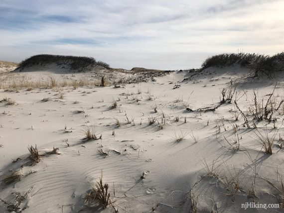
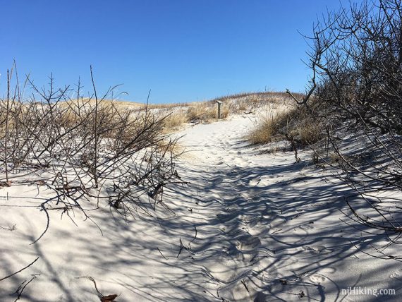
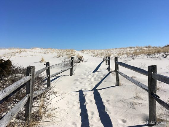
Be sure to stay off the dunes.
Hike Directions:
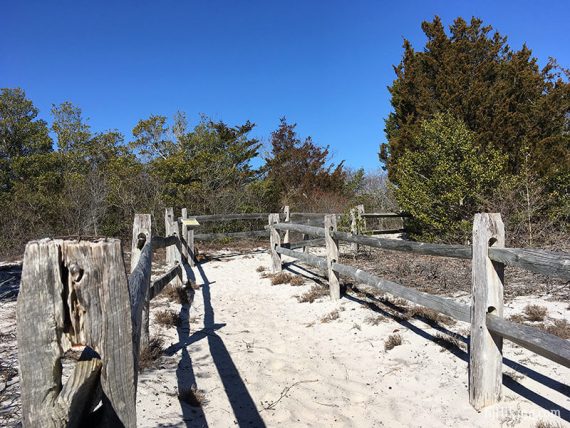
Overview: There are a series of parking areas with trails leading either to the ocean or the bay side, a boardwalk trail, plus various beach access paths.
We parked at several lots, doing an out-and-back on the trails or using the beach to loop around.
At the last parking lot, we did an out-and-back down the beach to the jetty at Barnegat Inlet. Total of all sections was 7.6 miles.
Loops could also be made by walking back on the shoulder of the park road, but we generally avoid walking on pavement unless we have to.
Hikes are listed below in order from the entrance.
Reed’s Trail/Coast Guard Trail
Miles: 1.1
Lot: Unnumbered, on the right
Follow Reed’s to the bay, retrace.
Cross the road and take Coast Guard to the ocean, retrace.
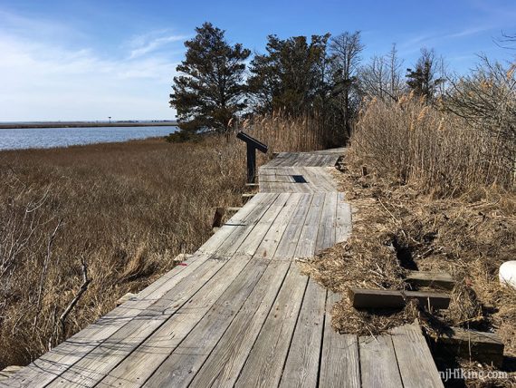
Fisherman’s Walkway with Beach Loop
Miles: 0.7 miles
Lot: P7 lot with on the left, with bathroom
(Boardwalk, ADA accessible)
Cross the road to the bay side, retrace, cross the road, take the boardwalk to the ocean.
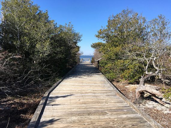
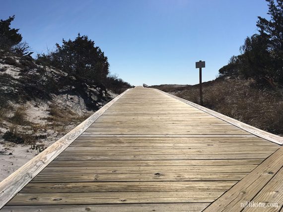
Turn left and walk down the beach, turn left on the beach access path back to the lot near the bathroom building.
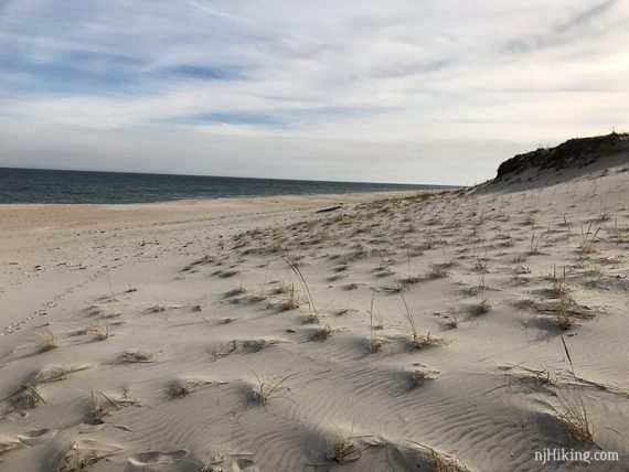
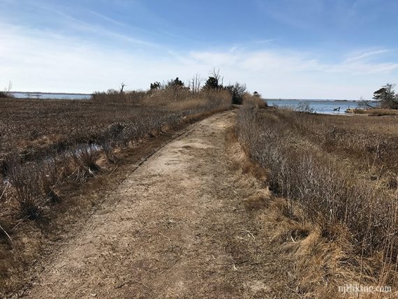
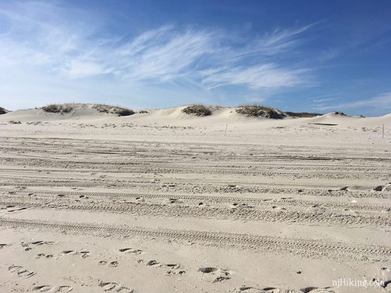
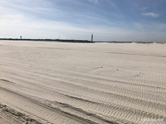
Cranberry Trail
Miles: 0.3 miles
Lot: P13, on the left side
Out-and-back to the ocean.
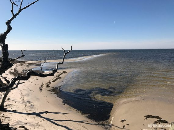
Cranberry Trail at the ocean, with vehicle tracks on the sand.
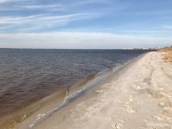
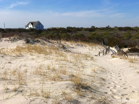
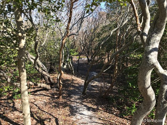
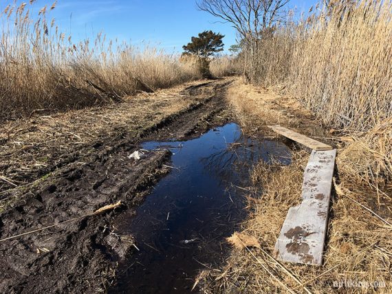
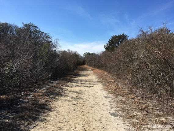
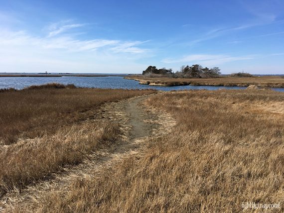
Johnny Allen’s Cove Trail
Miles: 1.1
Lot: P16, Nature Center, on the left side
The trailhead is between the buildings.
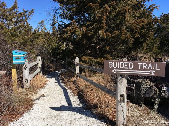
Shortly in, a sign indicates a split. Turn RIGHT and follow the trail through a thicket to the ocean. This is probably our favorite trail section. Retrace to the split.

The trail continues a bit before crossing the road, but that side was a torn-up muddy mess (at least it was when we hiked it) with lots of washed-up debris and trash to a just ok viewpoint.
So maybe skip the bay side of this trail. (Minus about 0.6 mile from the total if you do).
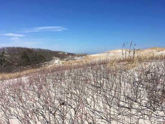
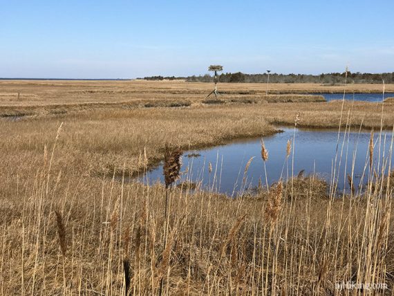
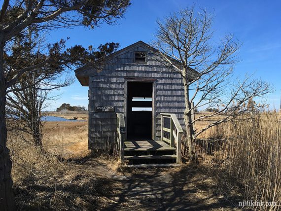
Spizzle Creek Trail
Miles: 1.4
Lot: P20, on the left side
To reach the trailhead: Walk RIGHT out of the lot, cross the road, and walk on the shoulder until getting to the trail.
The trail splits in a Y part-way, with a sign. Out-and-back on the left section to get a look at the Sedge islands section, then do an out-and-back on the other side of the trail to a wildlife blind. Retrace.
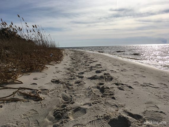
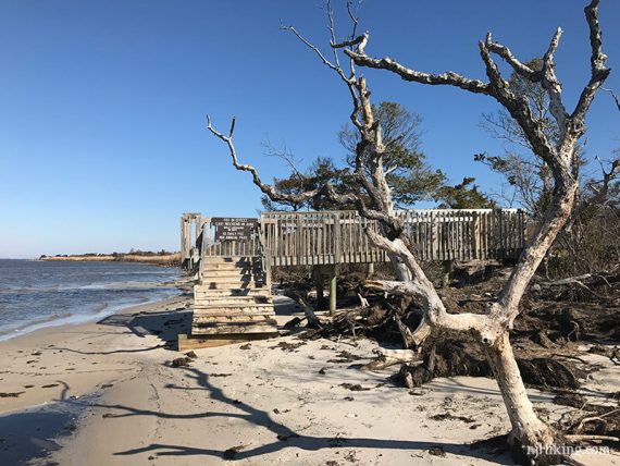
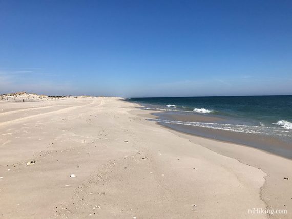
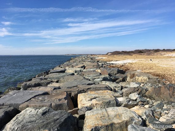
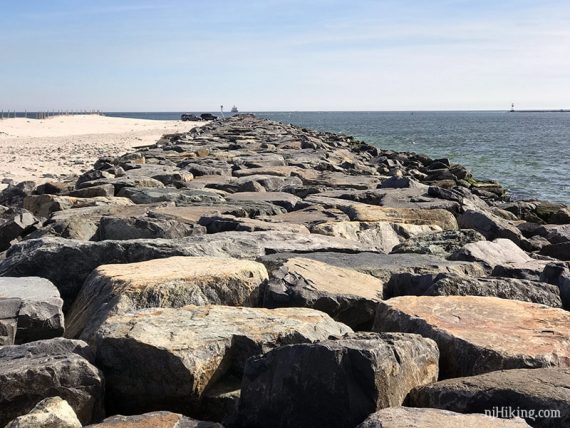
P23 to Barnegat Inlet Beach Walk
Miles: 3.0
Lot: P23 mobile sport fishing lot; end of the park road
Walk back to the entrance of the lot for pedestrian access – the wide beach end is vehicle access only.
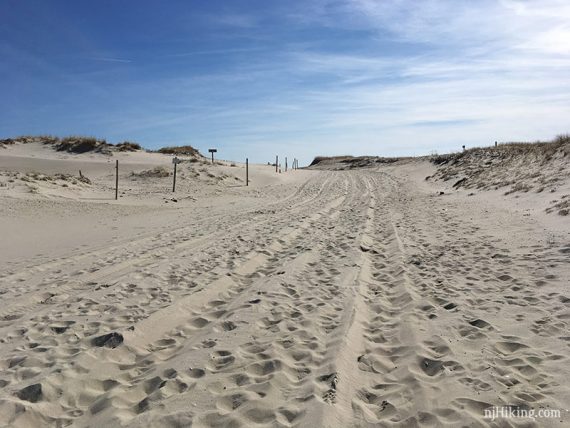
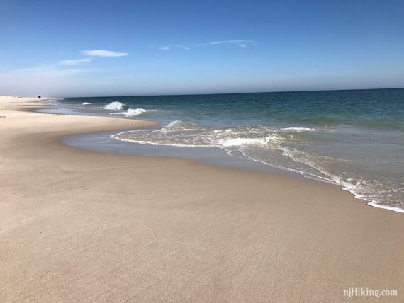
Walk to the ocean and turn RIGHT.
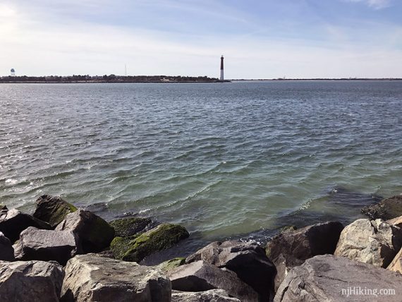
Walk down the beach until reaching the jetty at the end, with a view of Barnegat Lighthouse across the inlet.
(The lighthouse can be visited but it’s a bit of a drive all the way around – it’s not connected).
—
Hiked: 2/18/17.