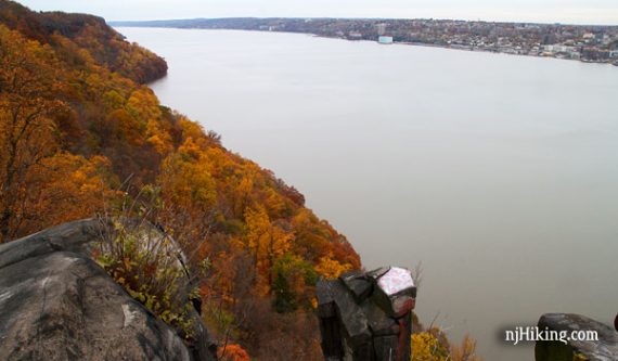
Outstanding views of New York while hiking above and below the impressive rock face of the Palisades… with a little Revolutionary War history thrown in for good measure.
In 1776, General Cornwallis landed 5,000 British Troops at Huyler’s Landing in order to head to Fort Lee, which is south of this hike and also within Palisades Interstate Park.
Hike Info:
5.5 miles, surface ranges from easy path to rocky trail. One decent downhill to the shoreline and then another uphill back to the upper trail, where there is considerable road noise.
- Nearby, same parking lot: Alpine to Huyler’s Landing– same lot, but head north.
- Nearby: The Giant Stairs, Tenafly Nature Center and Lost Brook Preserve.
- More options on the park site – this is a loooong park so there are much higher mileage hike loops possible.
Our two cents:
While not a truly remote wilderness experience, hiking along the Shore Trail feels far removed from city life – even with the fantastic views of New York.
The Palisades offer a unique hike experience that every Jersey-area hiker should check out at least once.
Updated: 4/2020 – Page refreshed, not re-hiked.
Map:
Topo map: Hudson Palisades Trails. Nice map brochure within the Park Headquarters building and online.
Books:
Other variations in the area can be found in: 50 Hikes in New Jersey, Hiking New Jersey (2023), Hike of the Week, and Take a Hike New York City. Trail descriptions are in The New Jersey Walk Book.
Parking: N40.95321° W73.92099°
Alpine Park Headquarters. Exit 2 off the Palisades Interstate Parkway.
Restrooms:
Inside the Park HQ building.
Hike Directions:
Overview: Long Path (TEAL) – Closter Dock (ORANGE) – Shore (WHITE) – Huyler’s Landing (RED) – Long Path (TEAL)
0.0 – Start walking down the grassy shoulder on the side of the park road, past the buildings. The trail will veer left away from the road and into the woods.
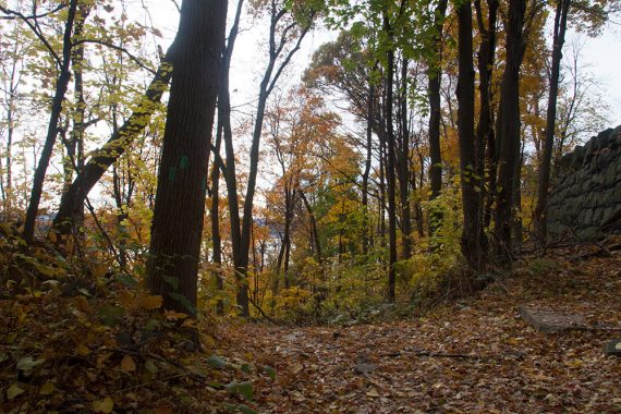
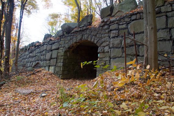
0.2 – Continue straight, Follow Closter Dock (ORANGE) straight and downhill. Don’t turn right to follow The Long Path (TEAL) / Closter Dock (ORANGE) through the stone tunnel.
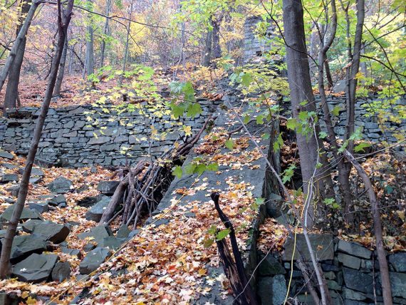
Part-way down the hill, a short side trail to the right leads to house ruins.
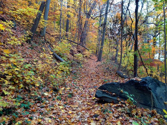
0.7 – At the bottom of the hill, Closter Dock (ORANGE) ends. Turn RIGHT, now following Shore (WHITE), along the water.
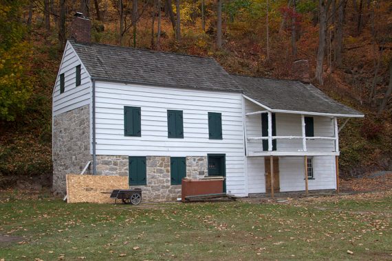
Walk past the Kearney House (shown here in 2013, getting repairs after damage from Hurricane Sandy).
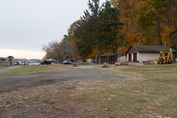
Continue following Shore (WHITE) through the parking area of Alpine Boat Basin.
It’s not really blazed in this area. To the left of where the park road goes uphill is where Shore (WHITE) continues.
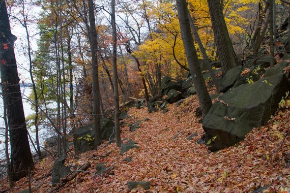
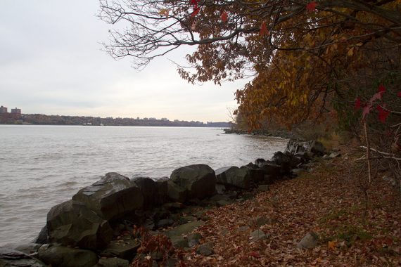
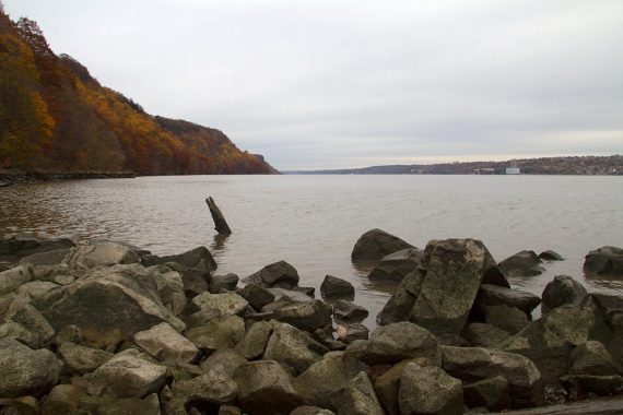
The trail follows close to the water, mostly in forest but with a few sandy spots of beach. There are remains of stone steps at one point.
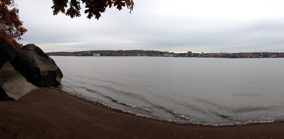
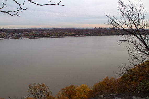
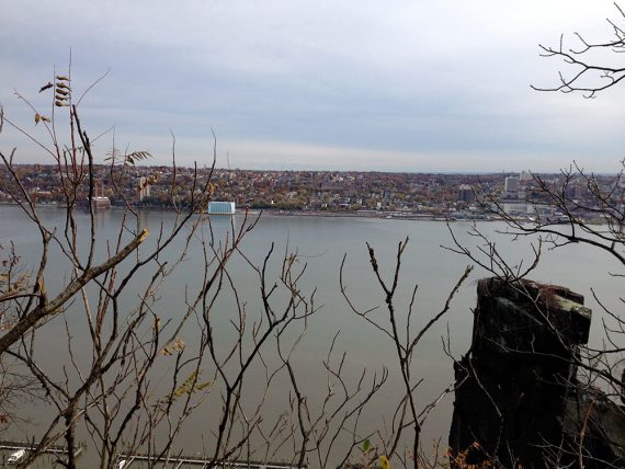
2.3 – Arrive at Huyler’s Landing, where British forces landed in 1776. This is a rather unimpressive little strip of rocks that can be walked out on to get some views down either side of the shore.
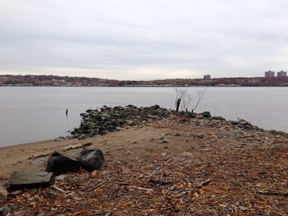
View from Huyler’s Landing:
When ready, take a sharp RIGHT and start following Huyler’s Landing (RED) uphill. There are 3 red blazes on a tree.
2.6 – Huyler’s Landing (RED) turns left onto the park road for a bit, before making a RIGHT back onto a trail again.
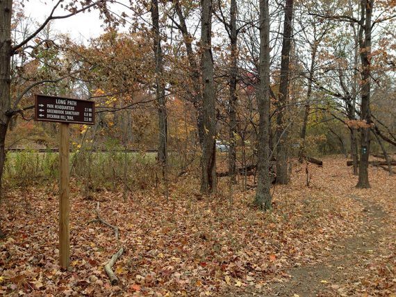
3.0 – Huyler’s Landing (RED) ends at a T with the Long Path (TEAL). Turn RIGHT, now following the Long Path (TEAL). There is a directional sign with distances and the noisy road is very close by.
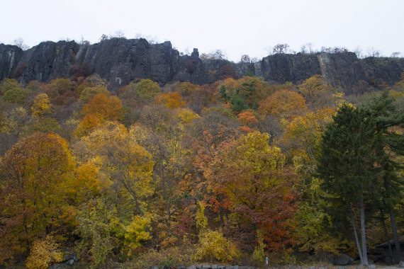
The Long Path (TEAL) follows along the top of the cliff, with the road nearby on the left, passing several viewpoints along the way.
3.4 – Nice viewpoint.
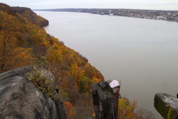
3.6 – Alpine Lookout with a large parking area.
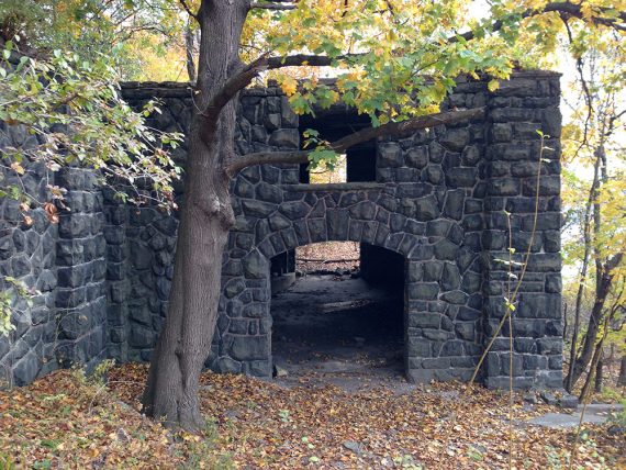
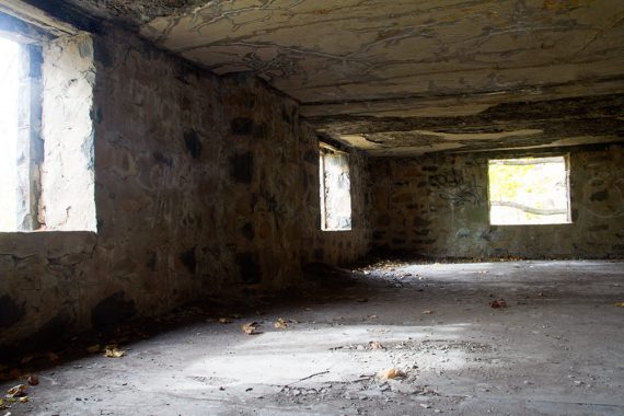
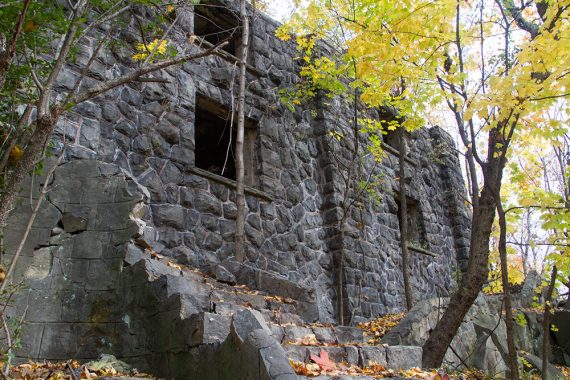
4.3 – Zabriskie Ruin off on the right. This is a large stone building with some crumbling stairs inside that lead to the 2nd floor.
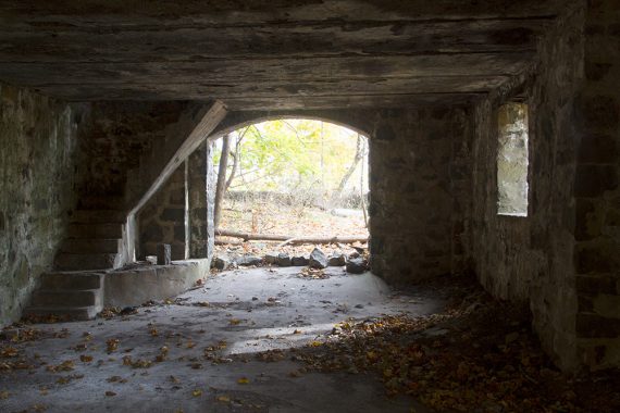
Inside the Zabriskie Ruin, 2nd floor — this is up some crumbling steps:
5.1 – Continue straight on Long Path (TEAL)/ Closter Dock (ORANGE). [Pass a tunnel on the left]
5.3 – Sharp RIGHT on Long Path (TEAL)/ Closter Dock (ORANGE).
Go under the road via a tunnel and immediately turn LEFT, following the trail back to the parking lot.
(The right turn is easy to miss. You’ll end up on the paved park road if you do, which could also be followed back to the lot).
—-
Hiked: 11/9/13.