Short hike through a patch of old growth forest and across a stream.
Quick history: Joshua Saddler escaped from a Maryland plantation and settled in the area, did well, and bought a wooded plot of land.
His will directed that no timber could be cut down. In 2004 these woods were named for Joshua in honor of his conservation ethic.
1.1 miles, easy, dirt and some roots. Stream crossing.
- Longer: Add another .25 mile by taking the hilly bike path off of RED.
- Nearby, within 20-30 min: Woods of Wenonah; Tall Pines Preserve; Black Run Preserve; Rancocas State Park; Rancocas Nature Center.
Hike Info:
Our two cents:
Very short leg stretcher if in the area. Stream crossing on RED was easy as it was over little water via a wide fallen tree or stones/branches.
Bonus: Craft beer enthusiast? This park is surrounded by breweries, all less than 10 minutes away: Tonewood, Kings Road, Lunacy, Red White & Brew, Devil’s Creek.
Map/Books:
Print ahead from the site. At the trailhead for the GREEN trail may be a kiosk with maps. Not in any hike books that we know of.
Parking: N39.90231° W75.05644°
250 MacArthur Blvd. Haddon Township, NJ 08108. Detailed driving directions on the park site. Parking spaces are along MacArthur Blvd.
This hike is from the YELLOW trailhead. The GREEN trailhead is marked with a sign and is just further down the road. The trails meet each other.
Restrooms:
None. Many stores in the area.
Hike Directions:
Overview: YELLOW – RED – YELLOW
0.0 – The trailhead for YELLOW has several signs.
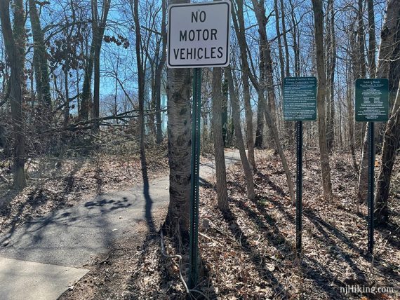
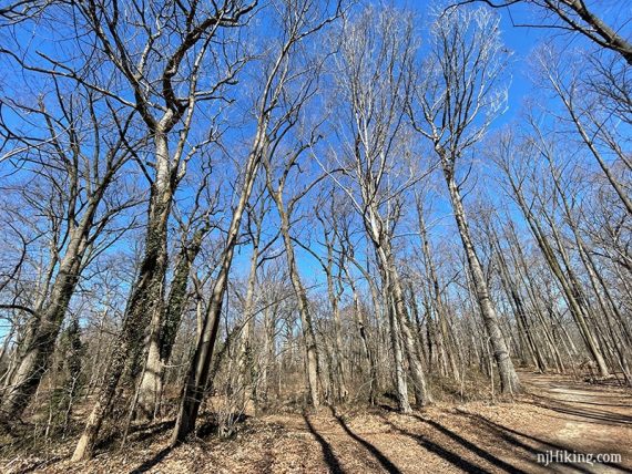
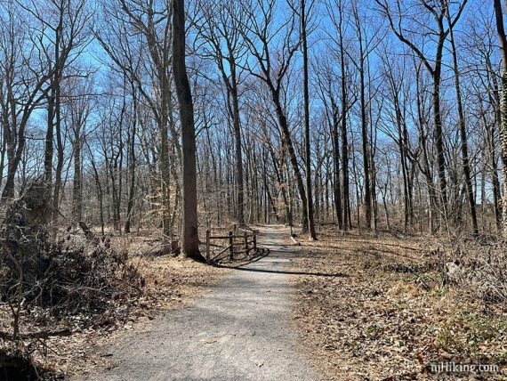
Start following YELLOW on a wide flat path.
0.2 – Pass RED on the right.
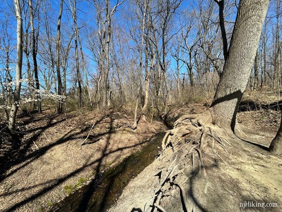
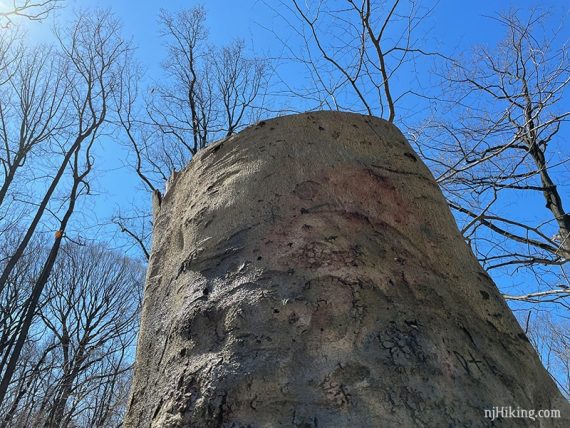
Tree with large exposed root system.
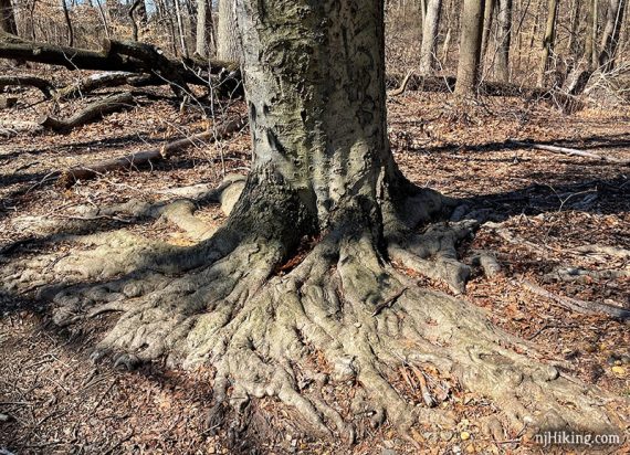
Walk over to check out the bank of Saddler’s Run and large tree roots.
0.4 – Several benches are near the end of YELLOW.
The trail turns to the LEFT briefly before ending at another bench.
Retrace the route to the RED trail intersection.
0.6 – Turn LEFT and now follow RED.
Cross Saddler’s Run Stream on the large fallen tree or on the rocks/sticks.
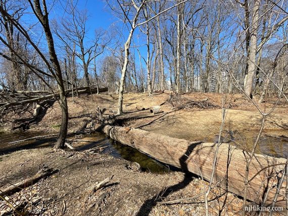
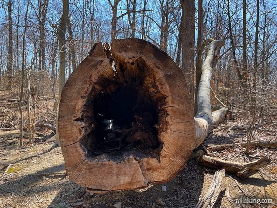
Just after the stream is a fallen tree and it’s stump.
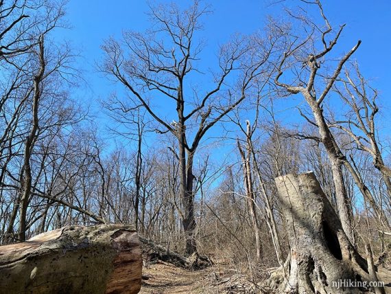
The tree is very large and hollow.
(The trail map shows an ORANGE spur in this area that leads out to the road – we didn’t notice it).
0.8 – Trail intersection of RED, path up a hill, and GREEN. There are a few options from here, listed below.
Veer LEFT to continue on RED (not up the hill) which soon ends at a meadow.
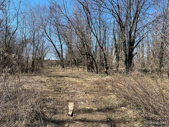
Retrace RED back to the intersection.
Continue retracing on RED, back over the stream, to YELLOW, then turn LEFT on YELLOW to return to your car.
Variation: Instead of returning on RED back over the stream, take GREEN directly out to the road and use the sidewalk to return to your car.
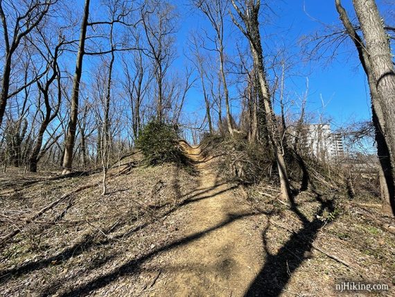
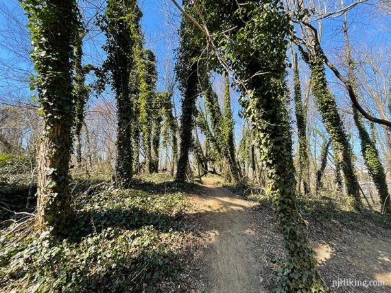
Optional add-on, about .25 mile: Take the trail up the steep hill that is likely created as a bike path (and is not shown on the trail map).
This rolls through ivy covered trees.
Then the trail loops around at the edge of the woods and comes in view of the stream again before meeting back to RED closer to the stream crossing.
—
Hiked: 3/12/21.