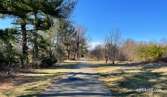
Easy hike through a former golf course being reclaimed by nature.
2.4 miles. Easy, minor rolling hills; paved with small sections of dirt/grass path. Pavement is degrading, cracked, and uneven in spots.
- Short, 0.5 mile: Just the inner RED loop instead.
- Shorter: Network of trails allow this route to be cut shorter.
- Longer: Add the RED loop (we did not hike this).
- Nearby: Woods of Wenonah (can link with a short road walk).
- Nearby, within 20-30 min: Saddler’s Woods; Scotland Run Park; Black Run Preserve; Parvin State Park.
Hike Info:
Our two cents:
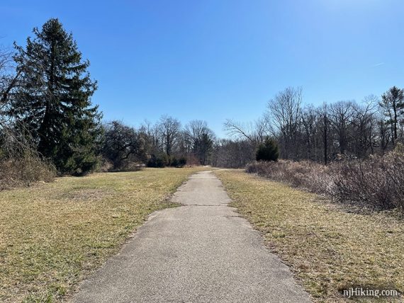
Quick and easy paved loop that can be cut shorter with a network of paths. While relatively accessible, there are some minor hills and some dirt sections that might be difficult for a wheelchair.
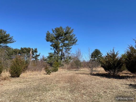
This area was a golf course from the 1950s until 2006. Since then, the trees and plants have been left to grow undisturbed. In 2016 it became Gloucester County’s first state park.
Updated: 12/2021 – Minor edits; not-re-hiked.
Map/Books:
Print the trail map ahead from the park site or use it online. Not in any books that we know of.
Parking: N39.78093° W75.13967°
Bark Bridge Road and Indian Trail, Wenonah, NJ. The paved lot is very large and in two connected sections. The trailhead for this route is on the far end of the lot along Bark Bridge road.
From North: Turnpike S to Exit 3, briefly on 42S, to 55S, Exit 56B. Rt 47N briefly to L on Bankbridge Rd, L on 553/Glassboro Rd, R on Bark Bridge.
From South: Rt 55 N to Exit 53, 553N/Glassboro Rd, L on Bark Bridge Road.
Restrooms:
None. Approaching from the north, after exiting the Turnpike at 3 and before getting on Rt 42 is a Wawa that is about 15 min from park. From the south, there are multiple stores after exiting Rt 55.
Hike Directions:
Overview: GREEN (Perimeter Trail).
Color is mostly marked at intersections and may not be along the trail. There is an inner RED loop as well as other paths.
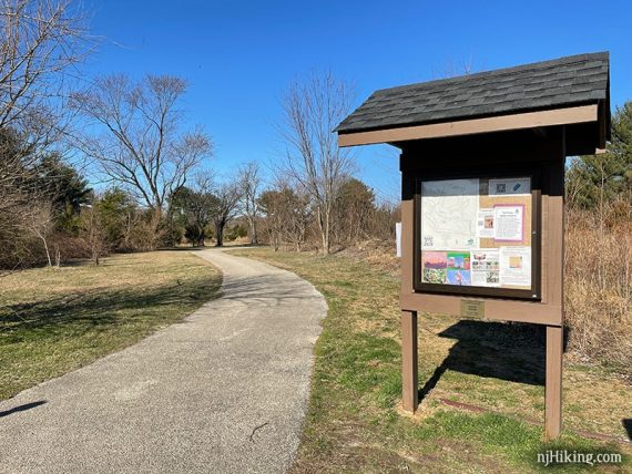
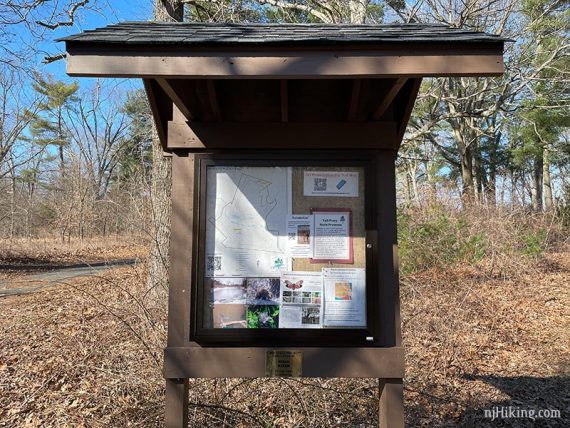
0.0 – Start following GREEN on the paved trail by the kiosk.
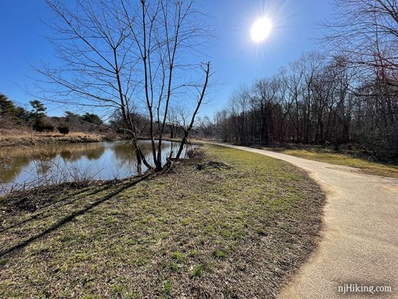
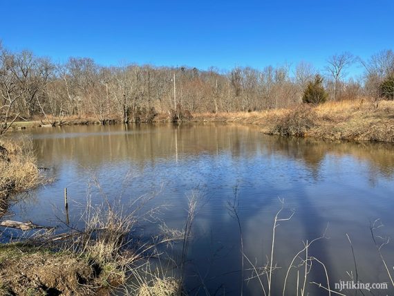
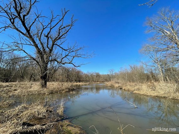
0.4 – GREEN curves around a small pond.
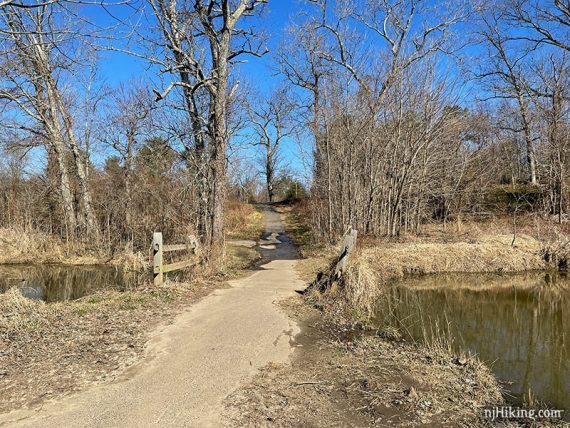
Cross a small bridge.
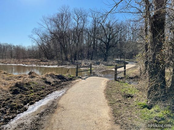
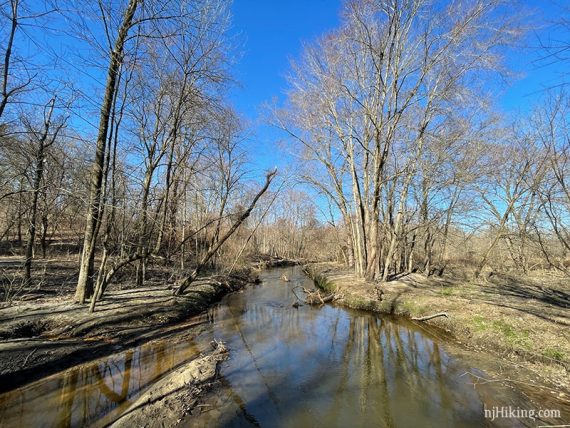
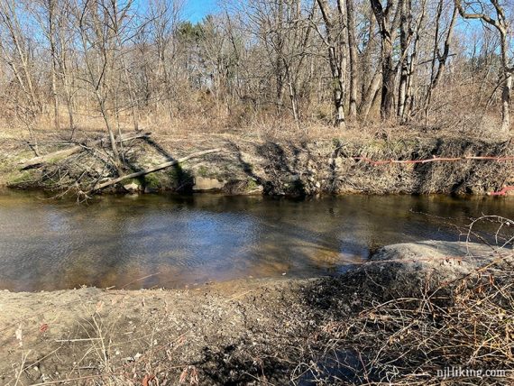
Cross Mantua Creek on large wooden bridge.
0.6 – Trail kiosk with a “you are here” map.
0.7 – Turn RIGHT to continue on GREEN. [Shorter: Continue ahead to cut off this skinny loop.]
The trail heads up a hill and loops around, getting near a road and passing a shed.
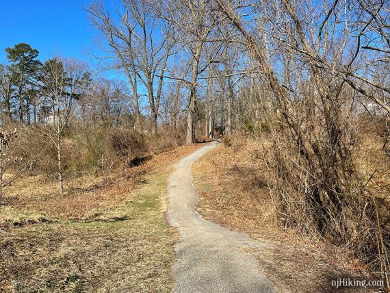
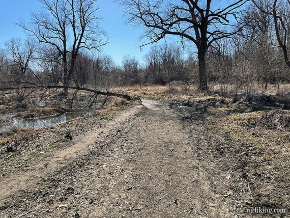
Continue on GREEN. Most of the paths in this park are paved.
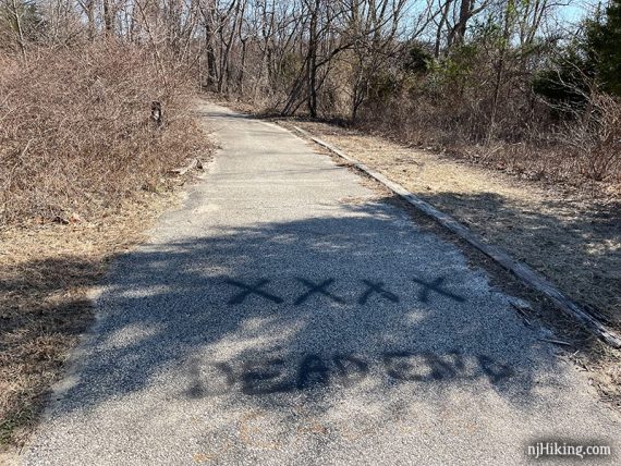
1.5 – Turn LEFT to continue on GREEN where “Dead End” and an arrow are painted on the pavement.
Optional side trip: If you continue past this turn on the short Dead End Spur you’ll soon encounter metal barricades (that prevented runaway golf carts from splashing into the creek…?).
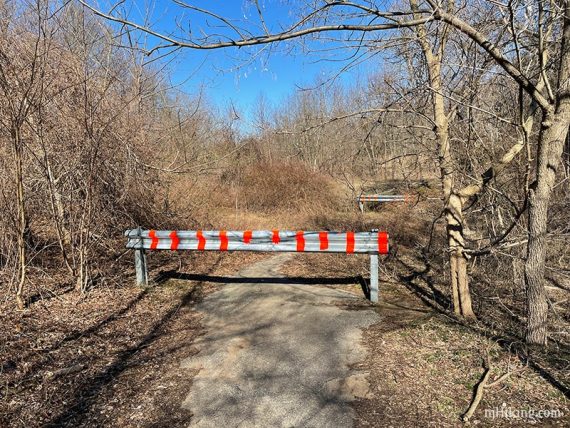
The Dead End Spur ends at a view over Mantua Creek.
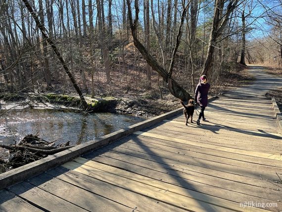
1.7 – Cross a bridge over Mantua Creek again, followed by a short section of dirt covered pavement.
Cross another bridge with water views.
1.9 – Turn RIGHT to continue on GREEN. From this point there are several turns where it may not be clear.
2.1 – GREEN curves around. Turn RIGHT off of the paved path to continue on GREEN. [RED continues straight – this turn is easy to miss].
2.2 – Turn LEFT. [The other section of the parking lot is visible off to the right]
Make a quick RIGHT as GREEN again briefly leaves the pavement and uses a grassy path.
Turn RIGHT on to pavement to follow GREEN back to the lot.
—
Hiked: 3/13/21.