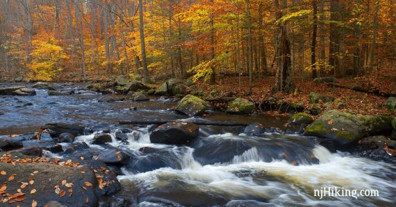
Gorgeous park that has the Black River as its centerpiece and is stunning in the fall.
3.7 miles. The trail surface is mostly easy but some sections of Riverside (RED) along the Black River can be rough, with large roots and rocks to negotiate. This route is generally suitable for beginners or kids, but that portion is very much a legit hiking trail and not a waltz in the park.
| 3.7 miles | This hike guide: Detailed instructions, photos, and video follow below. |
| Shorter | The hike detailed below tries to make the longest available in the park with the least back-tracking… but it’s very easy to make shorter hikes and we’ve noted some options in the route below. |
| Nearby | Schooley’s Mountain; Kay’s Cottage Ruins; Black River – Cooper Mill; Voorhees State Park; Columbia Trail. |
Our two cents:
Trails here are good for a beginner or quick hikes, hiking with kids (lots to look at and never far from the car), picnicking (TONS of tables scattered throughout), or basically anyone who wants to experience a wonderful outdoor setting without a lot of effort.
There are only about 6 miles of overlapping trails available and a lot of that is paved/gravel – this is not the park for an experienced hiker looking for a long/challenging trail.
It’s also extremely popular so don’t expect solitude. Bonus: Within minutes of Hacklebarney Cider Mill so you can enjoy all things cider after your fall hike (mmmmm donuts…).
Updated: 6/2026 Minor edits, added a few photos; re-hiked. Older change log at page bottom.
Hike Info:
Map/Books:
Print ahead, or the trail kiosk at the end of the parking lot may have paper maps. Many intersections had wooden arrow signs in addition to trail blazes. Follow along on your smartphone with our Interactive Map link above.
A variation of this hike is in Hiking the Jersey Highlands.
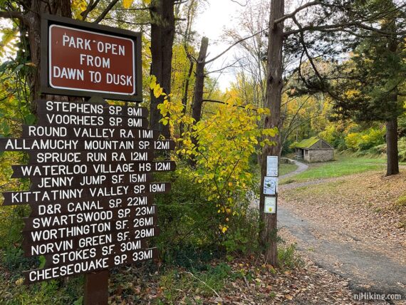
Parking: N40.75102° W74.73223°
“Hacklebarney State Park”, 119 Hacklebarney Rd, Long Valley, NJ 07853. From Rt 206 take 513 W. Just past the Cooper Gristmill make a left onto State Park Road (there are signs). Continue for about 2 miles and turn right after Hacklebarney Farms Cider Mill.
Park entrance on the left. Small parking lot with a monument just as you enter, turn left within that lot to head into the larger lot.
Related: Waterfalls in NJ / Best Waterfall Hikes in NJ
Restrooms:
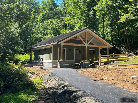
Portable toilet in the parking lot in front of the ranger building while the restroom building is being redone (as of 6/2026). The restroom building is down the paved path from the parking lot. It appears there will be a bottle refilling station on the side of it.
Refreshments:
In fall, find cider donuts, baked goods, and cider just minutes from the park at Hacklebarney Farms Cider Mill, while nearby Alstede Farms and Stony Hill Farms offer farm markets and activities too.
Year-round, Chester’s Main Street has shops, restaurants, ice cream, and the Black River Candy Shoppe for old-timey sweets.
Hike Directions:
Overview: Main (WHITE) – Riverside (RED) – Windy Ridge (YELLOW) – Main (WHITE) – Haki (LIGHT BLUE) – Wintershine (ORANGE) – Riverside (RED) – Waterfall (PURPLE) – Main (WHITE)
0.0 – Main (WHITE) starts at the map kiosk and is paved.
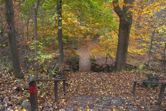
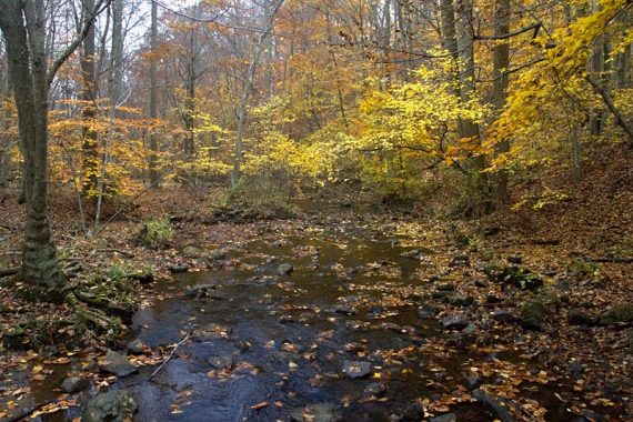
Pass the restroom building on the right. Turn LEFT down the stairs to start following Riverside (RED). Cross over Trout Brook on a bridge.
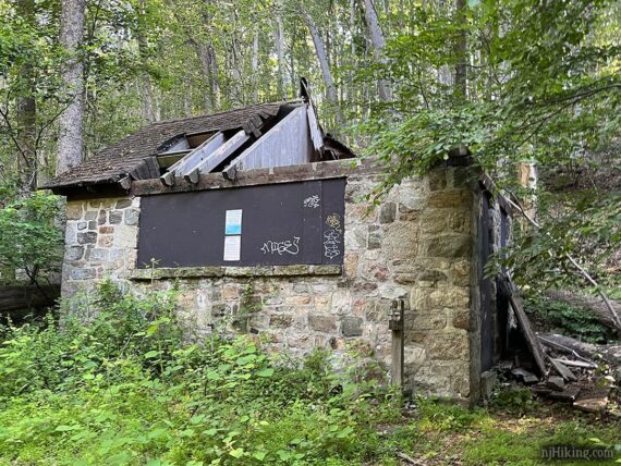
Wander past some older park structures… there are a couple of small dilapidated buildings around the park that once housed restrooms. I believe these were still in use when we hiked here ages ago, at least they were in 2009 when I noted them in a TrailBlog.
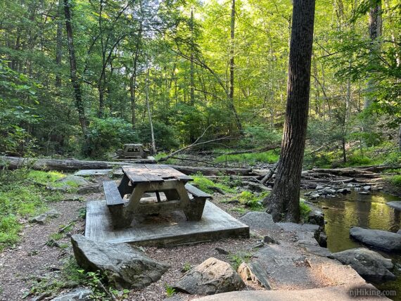
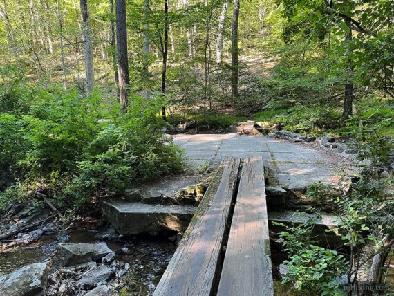
Many picnic tables are scattered around this area, some accessed by planks over to concrete platforms in the stream.
0.3 – Pass a bridge with #2 on it, as well as the start of PURPLE (Waterfall) on the right.
Trout Brook Waterfall is just past and below the bridge. Continue on RED just a bit until reaching a sign for the waterfall on the right. Follow the stone steps down to the water.
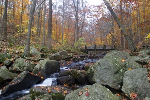
Optionally scramble over rocks to get a closer look at the waterfall. When done checking out the waterfall, climb the steps back up and turn RIGHT to continue on Riverside (RED).
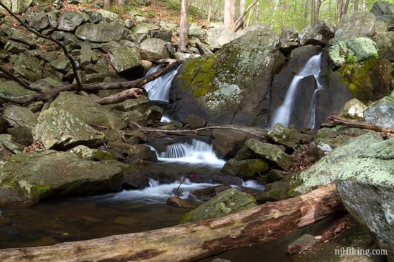
0.6 – Riverside (RED) curves around. [Pass the start of Wintershine (ORANGE) on the right.]
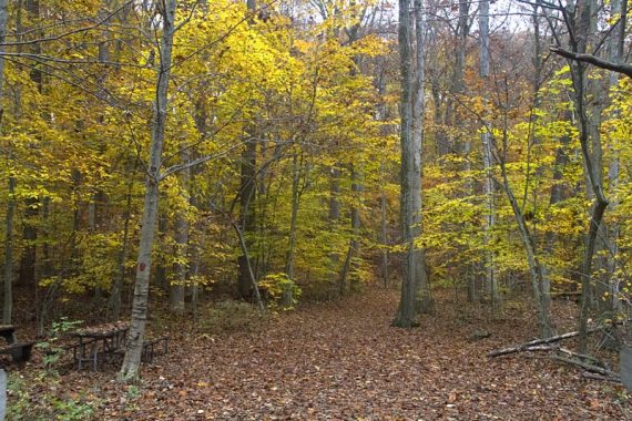
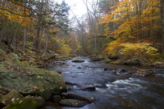
0.8 – Riverside (RED) curves down to the edge of the Black River, to follow along it.
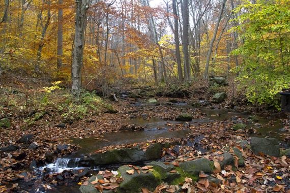
Continue on Riverside (RED) as it hugs the water.
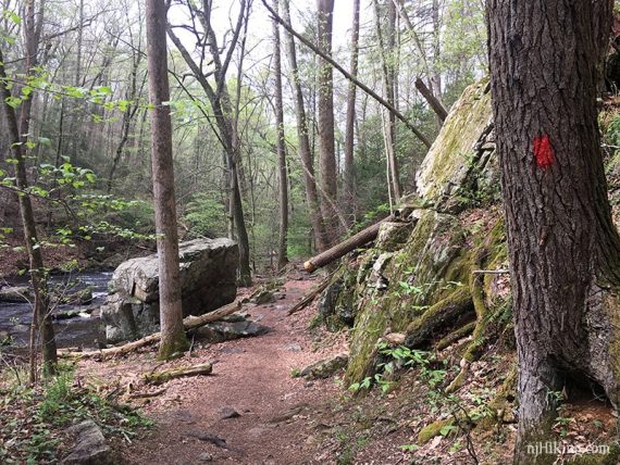
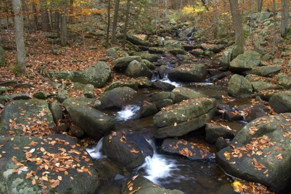
The trail can be very rocky and full of roots in some sections (photo below). It’s a normal North Jersey hiking trail surface but if you don’t hike often or are new to hiking it might be harder than expected.
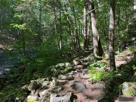
Continue on Riverside (RED) as it hugs the Black River.
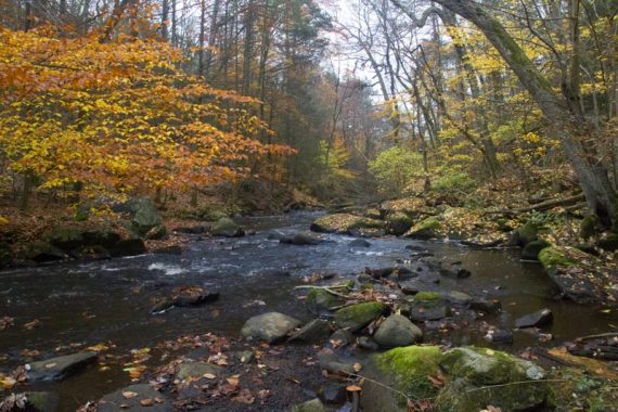
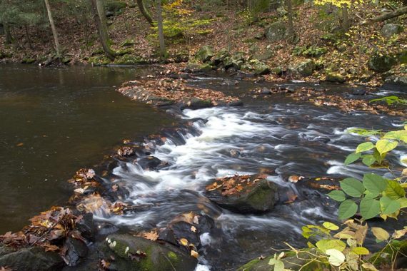
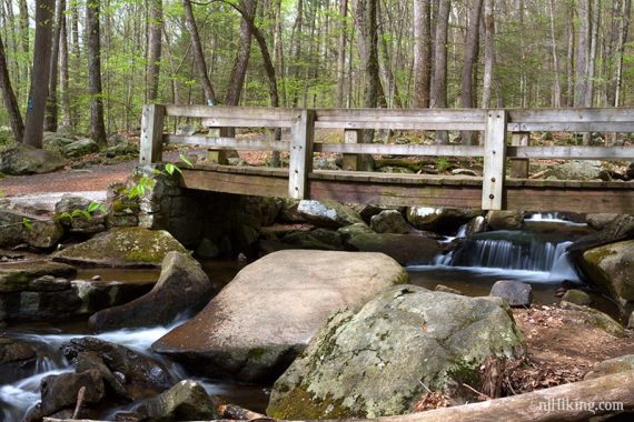
1.1 – Riverside (RED) crosses a bridge with cascades on either side. [Pass Haki (LIGHT BLUE) on the right, after the bridge.]
// Shorter: After the bridge, instead turn RIGHT and take Haki Trail (LIGHT BLUE) to reduce the mileage.//
1.4 – Veer LEFT to continue on Riverside (RED). [Three Pools (BLUE) goes straight.]
// Shorter: Three Pools (BLUE) leads directly back to the Main Trail (WHITE) to cut it shorter. //
Cross bridge #6 with cascades on either side of it. Not long after are steps up to a bench sitting atop a large rock with a nice view of the river.
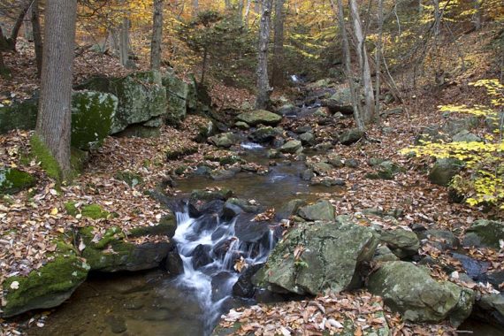
1.7 – At a T-intersection, turn RIGHT to continue following Riverside (RED).
Optional add-on: Instead, turn left and take a very short connector trail out-and-back to stone boundary markers for Susan Parker Borie and Hacklebarney, and a bench with a view over the river.
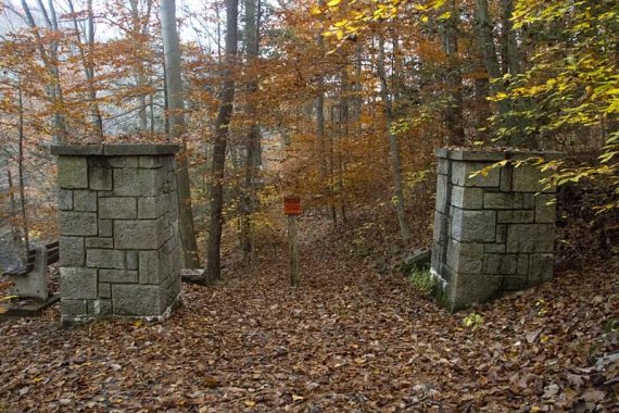
Beyond that is posted Private Property so you can’t continue further. Backtrack to the junction and continue straight on Riverside (RED).
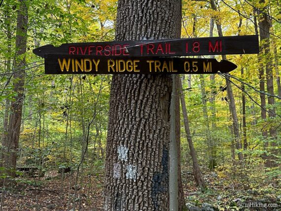
1.9 – Cross a bridge. A tree has signs for Riverside (RED) and Main (WHITE). [Riverside (RED) ends. Main (WHITE) goes to the right.]
Walk toward the small stone pillar, and turn LEFT to start following Windy Ridge (YELLOW). This heads steeply and steadily uphill.
// Shorter: Main (WHITE) goes to the right, take this for an easier and shorter route back. Riverside (RED) ends. //
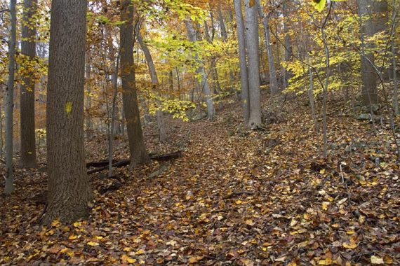
2.4 – Make a sharp RIGHT on a short unmarked path, and immediately turn RIGHT to now follow paved Main (WHITE).
// Shorter: Instead of making two rights, continue ahead on Windy Ridge (YELLOW). In just a bit it merges into Main (WHITE). Take this for a much shorter route back to the parking lot. //
Shortly, curve very sharply LEFT to now follow Haki (LIGHT BLUE) downhill. [Main (WHITE) continues ahead and will lead you back towards what you just hiked.]
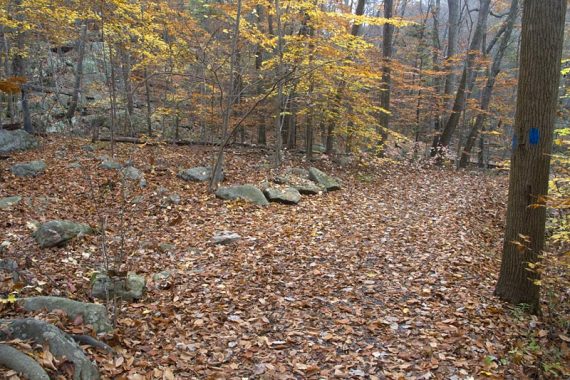
2.7 – Veer LEFT, to now follow Wintershine (ORANGE) [Haki (LIGHT BLUE) continues straight]. Cross Trout Brook on bridge #3, with more cascades.
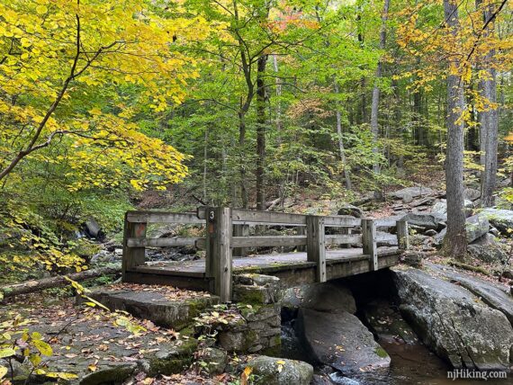
Once over the bridge, optionally walk a bit to the left to get a closer look at the waterfall on Trout Brook.
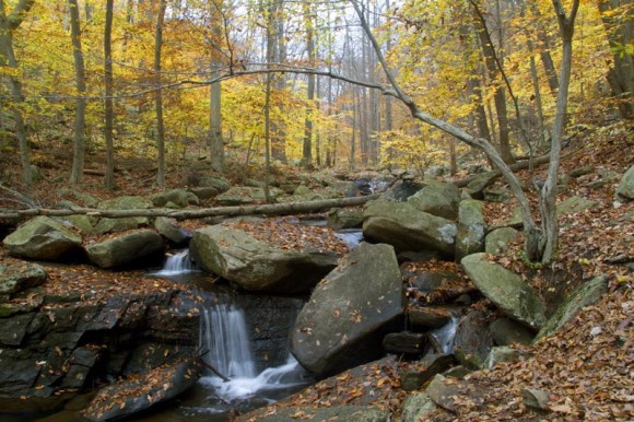
If you’ve walked over to the waterfall, be mindful of the location of Wintershine (ORANGE) as there are casual trails branching off past the falls and from the bridge. Look for the ORANGE marker to get on track – with your back to the bridge, ORANGE veers off to the right.
Continue following Wintershine (ORANGE) along a ridge, with the river below on the right (easier to see with leaves down).
3.1 – Turn LEFT and now follow Riverside (RED) – this intersection was passed earlier in the day.
3.4 – Start following Waterfall (PURPLE) by turning LEFT to cross bridge # 2. After crossing, turn RIGHT to follow Waterfall (PURPLE) to where it ends at Main (WHITE).
3.5 – Turn RIGHT and follow Main (WHITE) back to the lot.
—
Hiked: 6/20/26.
Hiked: 10/16/22.
Hiked: 4/29/17.
Hiked: 10/27/12 – Trail Blog: “Hacklebarney State Park in the Fall“
Hiked: 4/26/09 – Trail Blog: “Hacklebarney State Park in April“
Updated: 4/2026 – Minor edits; not re-hiked. 12/2024 Minor edits. 10/2022 – Re-hiked, added photos, minor edits. 8/2020 – Page refreshed, not re-hiked. 5/2017 – re-hiked, adjusted description for trail name/color changes, changed route to remove a section that is no longer a blazed trail, revised GPX/Interactive Map.
3/2017 – changed the link to the newer map: There is a pink “Upland Trail” loop now where there was just a connector to ‘wildlife viewing’ – which doesn’t affect the directions below.
2015: The park page now has a map. The trails are colored different than the map we scanned several years ago. Both are linked in the resource box above. 12/2012 – Trail description updated, new photos, video, and revised GPX.