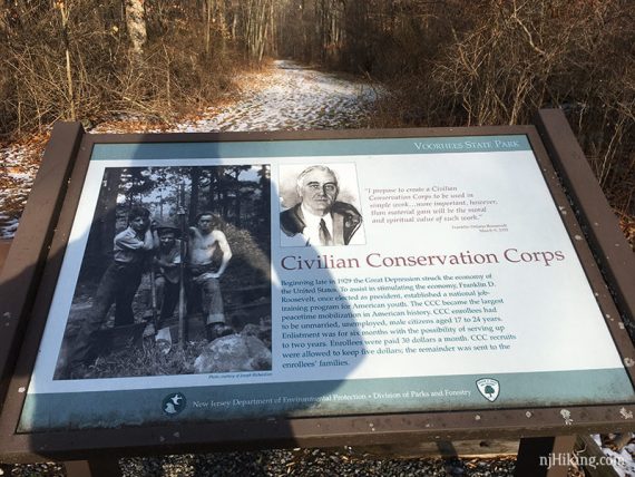
Hike a portion of the Highlands Trail and check out the Solar System trail in a park built by the CCC in the 1930s.
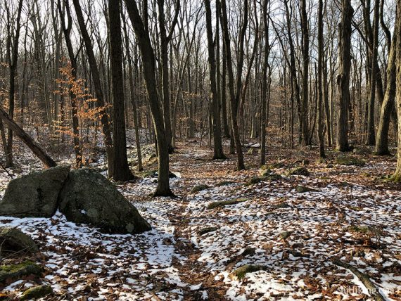
5.4 miles, surface is dirt and roots, moderately rocky. Rolling hills; most of the elevation change is in the southern portion of the park.
- Shorter: 4.0 mile loop – Start from the group picnic area, removing the northern portion of the loop.
- Short: 1.2 mile loop – Start from the group picnic area, loop Highlands to Brookside.
- Short: 0.5 miles round trip: Do an out-and-back on the Solar System trail from parking on Observatory Rd.
- Longer: The Highlands Trail continues for miles in either direction (may require road walking).
- Nearby: Columbia Trail, Ken Lockwood Gorge, Round Valley, Spruce Run.
Hike Info:
Our two cents:
Standard north Jersey hiking. Brookside runs along a brook (but of course!) and is a good short-but-scenic option.
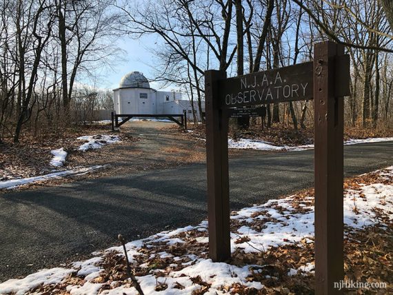
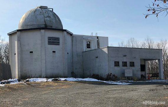
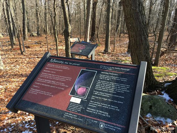
The short Solar System trail is neat plus the observatory has the largest working telescope accessible to the public in NJ (info: NJAA).
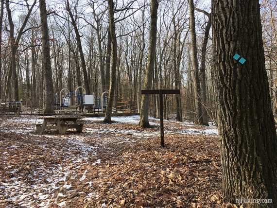
The group picnic area has a nice playground gym. Fun Fact: Voorhees served as a camp for the Civilian Conservation Corps (CCC).
Map:
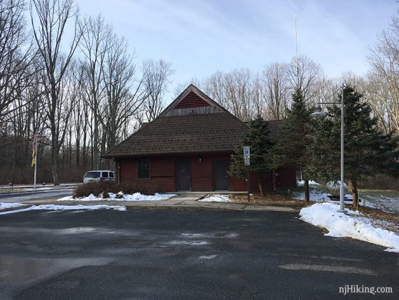
Print the map ahead. The park office is closed indefinitely but possibly has maps outside the door… forgot to check.
Parking: 40.695533, -74.889167
Rt 287 to Rt 78W exit 17. Merge onto Rt 31 N. R on 513 through High Bridge. Follow signs to the park. Entrance on left. Google might direct via exit 17 on Rt 78 and take back roads.
This route starts from the park office lot but you could also start from the Group Picnic lot a bit further down the park road.
Restrooms:
At the park office, accessed from outside even though the office is not open; also at the group picnic area.
Hike Directions:
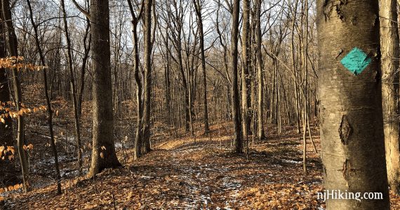
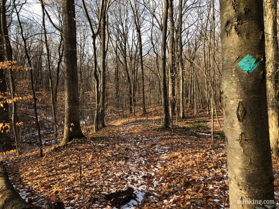
Overview: Company Street – Highlands (TEAL Diamond) – Vista (PINK) – Solar System (PURPLE) – Hill Acres (BLUE) – Brookside (ORANGE) – Highlands (TEAL Diamond) – Company Street
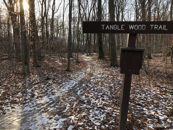
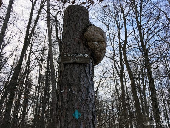
Several trails are co-joined with Highlands along the way: Tanglewood, Cross Park, and Vista.
0.0 – Start following Company Street, an unmarked trail that starts at two display signs. If facing the front of the park office, they are off to the right behind the parking area.
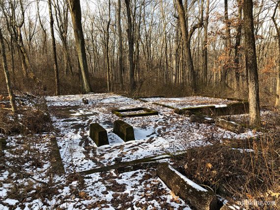
Pass the foundation of an old building on the left.
0.1 – Turn LEFT to start following the Highlands (TEAL Diamond) (might not have been blazed here) – and walk along the park road for a bit.
Turn LEFT off of the park road to continue following Highlands (TEAL Diamond) (also Tanglewood at this point).
[Brookside and Hollow are across the park road].
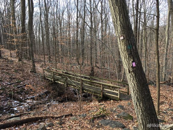
0.6 – At the Group Picnic Area, walk on the left side of the playground and cross the paved park road.
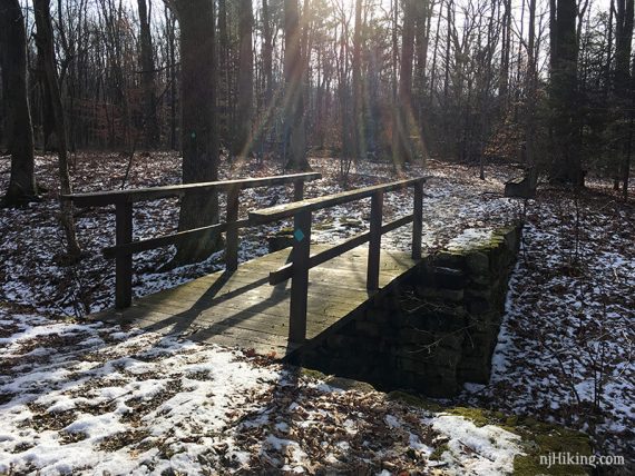
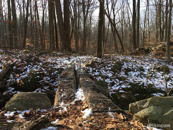
Walk across a wooden bridge to an intersection and turn RIGHT then immediately LEFT through an intersection to continue following Highlands (TEAL Diamond).
0.8 – Continue on Highlands (TEAL Diamond) past the end of Brookside (ORANGE) on the left.
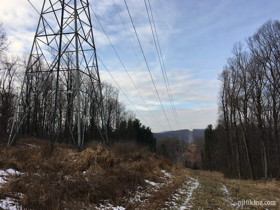
1.7 – Just before a power line cut, Highlands (TEAL Diamond) turns right for a bit before crossing the cut.
Highlands Trail is co-joined with Cross Park.
2.0 – Turn LEFT to cross a park road (Hill Acres/Observatory Rd) to the Vista Trail kiosk. Now follow Vista (PINK) (co-joined with Highlands for a bit).
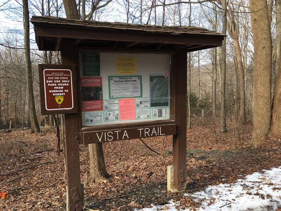
2.3 – Continue straight on Vista (PINK) where Highlands (TEAL Diamond) veers right to head out of the park.
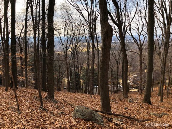
Head uphill. The park map shows a viewpoint but it is seasonal and partially obscured.
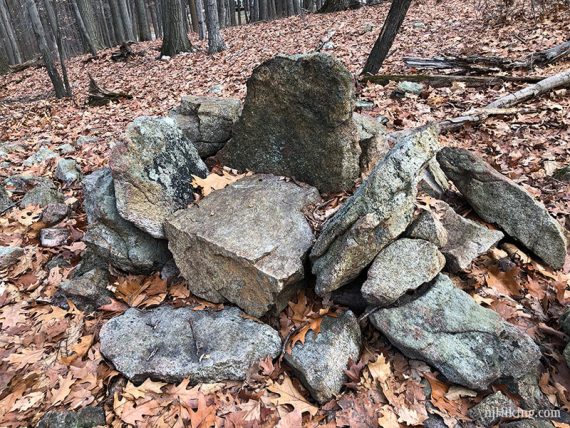
Rock piles on either side of the trail are actually stone chairs – marked “George’s Thrones” on the map – and are a handy break spot after going uphill. Thanks, George!
3.3 – The Vista (PINK) trail ends. Cross the park road and start following Solar System (PURPLE) on the left of the Observatory.
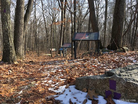
There is a display sign for each planet and placed to scale to show the distance between them.
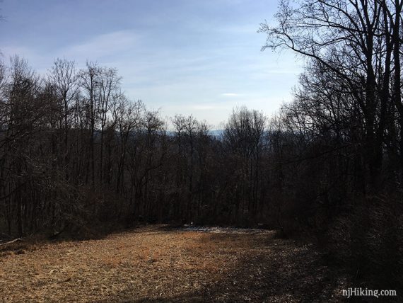
3.6 – Solar System (PURPLE) ends at a parking lot with a partially obscured viewpoint over Round Valley Reservoir.
Continue out of the parking lot and cross the road to start following Hill Acres (BLUE).
4.5 – Continue following Hill Acres (BLUE) through an intersection with Highlands (TEAL Diamond from earlier.
// Option: turn right and take Highlands through the playground to retrace your steps. //
Hill Acres (BLUE) crosses the park road near a pavilion, then crosses it again.
4.6 – Hill Acres (BLUE) ends at Brookside (ORANGE). Turn RIGHT to now follow Brookside (ORANGE). The trail runs along a brook. Pass side trails to parking areas and an intersection with the Hollow trail.
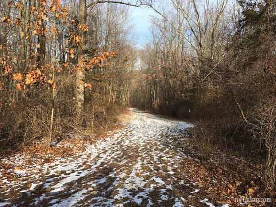
5.1 – Brookside (ORANGE) ends. Turn LEFT and walk down the park road (Highlands) for a bit, then turn RIGHT on Company Street back to the parking lot.
—
Hiked: 1/21/18. Trail Blog: “Icy Trails at Voorhees State Park“