Easy hike exploring an undeveloped stretch of Jersey’s beautiful shoreline.
2.5 miles or less, total round trip. Level sandy trail, deep in spots, and then along the beach.
| 2.5 miles | This hike guide: Detailed instructions and photos follow below. |
| Shorter | 0.8 – Instead, follow YELLOW to the beach and back. Noted below. 1.2 – YELLOW to RED, along the beach, then YELLOW back. Noted below. |
| Longer | + 0.8: Also add an out-and-back on Rail Trail (GREEN), other end of lot. |
| Nearby | Belleplain S.F. – East Creek and Sunset Road Loop; Belleplain S.F.; Estell Manor Park; Edwin B. Forsythe NWR. |
Our two cents:
Easy, with plenty of water views, and half the route is on the beach. One of NJ’s unique beachy hikes that may not fit your definition of “hiking” but worthwhile to check out.
Make this shorter by just doing YELLOW to RED to the beach then returning on YELLOW instead of continuing along the beach and the inlet. At high tide you might not be able to loop all the way around along the inlet; noted below.
Note! Swimming not allowed; dogs not allowed from April 1 through September 15.
Updated: 1/2025 – Minor edits, not re-hiked.
Hike Info:
Map:
Print one ahead from the park site. Follow along on your smartphone with our Interactive Map link above.
Parking: N39.21659° W74.64659°
Corson’s Inlet Boat Ramp, Ocean City, NJ 08226. (There’s no street address).
Garden State Parkway South to Exit 25. Turn L on Rt 9/Roosevelt Blvd. Continue onto 34th St. Turn R onto West Ave. Turn R onto E 55th St. Continue onto Rt. 619/Bay Ave.
Turn left into the lot – just after the park sign and before going over Corson’s Inlet Bridge.
Restrooms:
Portable toilet in the parking lot. Stores and gas stations in Ocean City on the approach.
Hike Directions:
Overview: YELLOW (Ocean) – RED (Fox Run) – Beach Walk – Inlet Trail
0.0 – Start following YELLOW (Ocean) where all the signs are at the trailhead.
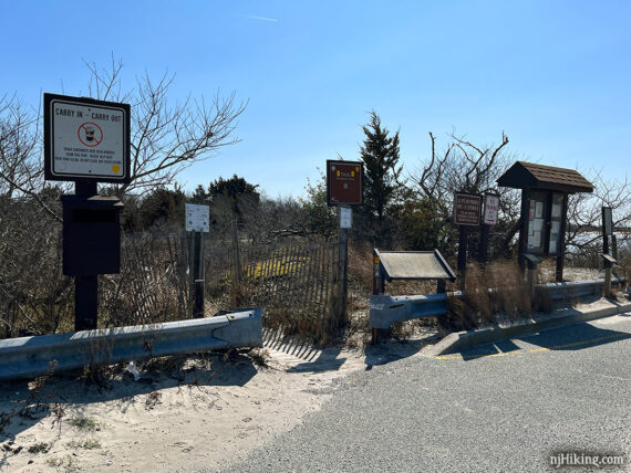
Immediately go over a wooden footbridge and then veer LEFT to continue on YELLOW (Ocean).
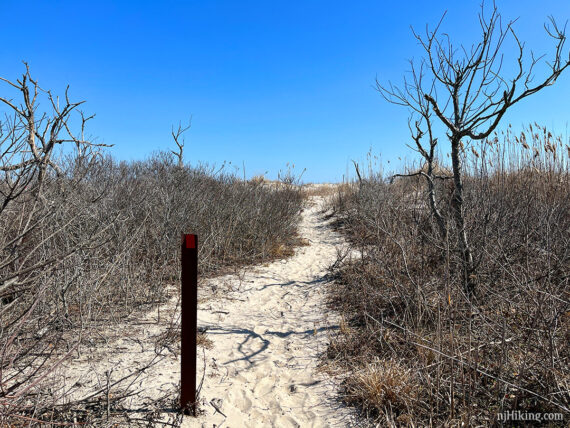
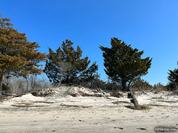
0.2 – Turn LEFT to now follow RED (Fox Run). This is a sandy trail with short brush and trees lining it.
Shorter Option, ~0.8 miles total: Instead, keep straight on YELLOW (Ocean) and get right out onto the beach then turnaround and head back.
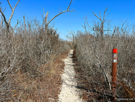
Continue on RED (Fox Run) as it winds through the trees. Eventually the vegetation gets shorter as it approaches the beach.
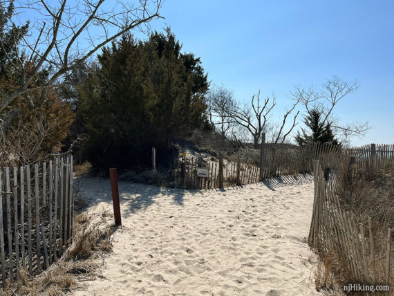
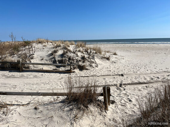
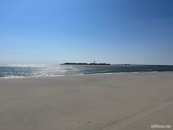
0.7 – RED (Fox Run) ends at a wooden fence. Turn RIGHT to now walk along the beach. [To the left is a road, Central Avenue.]
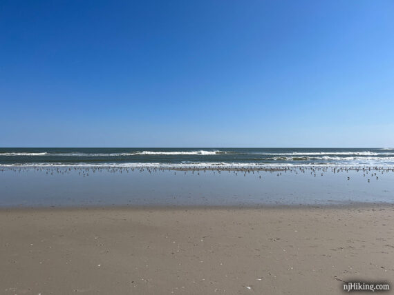
Continue walking along the beach, it’s easier closer to the water where the sand is more packed.
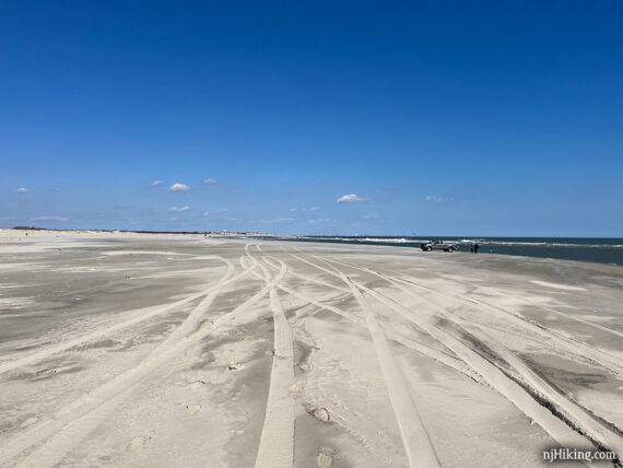
There might be tire tracks and/or vehicles on the beach from people who have mobile sport fishing permits.
Shorter Option, ~1.2 miles total: Follow the beach for a bit and then take YELLOW (Ocean) back instead. Keep an eye out for the trail on the RIGHT.
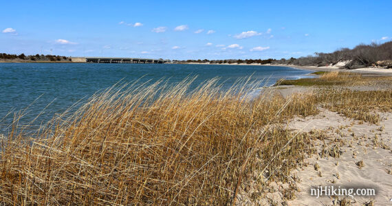
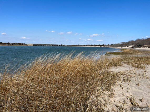
1.7 – Continue following the beach to the RIGHT as it rounds a corner. A water tower and another bridge can be seen beyond Strathmere Bay.
1.8 – Continue walking on the beach as it rounds another corner to the RIGHT, heading back and now along Corson’s Inlet.
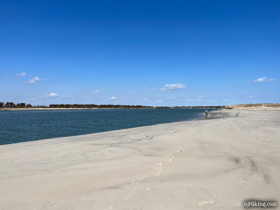
Continue along the beach, now with Corson’s Inlet on the left and dunes on the right. If it’s high tide, this area may not be passable at a certain point.
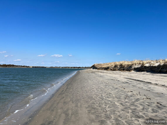
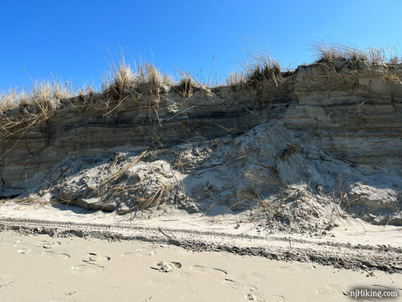
Tall and eroded dunes and short, evergreen trees on the right side.
Continue following the beach back. Corson’s Inlet Bridge comes into view.
Near the parking lot turn RIGHT onto Inlet Trail for a few steps then back over the footbridge and to the lot.
—
Hiked: 3/5/23. with A.