Hike to steep cliffs overlooking the Delaware River into Pennsylvania.
2.3 miles. Dirt, roots, and grassy field edges that may be overgrown.
- Shorter: Out-and-back to just one overlook.
- Longer: There may be a bit more trail here.
- Nearby: Musconetcong Gorge, Lockatong High Falls, Kugler Falls, D&R Canal – Frenchtown.
Hike Info:
Our two cents:
Short hike to impressive overlooks over the Delaware River. Navigation is somewhat tricky as the trails aren’t marked.
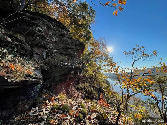
Be very careful at the steep cliff edges as the rock is a crumbly shale and there is a downward slope towards the edge. Keep a hand on the kids if you take them.
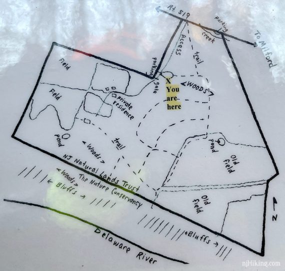
Map:
Best bet is to try our Interactive Map linked above.
Could not locate one online but we took a photo of the drawing in the trail kiosk but we found it hard to match it up with reality, however, and did not use it.
Books:
A route appears in Best Day Hikes Near Philadelphia.
Parking: N40.57931° W75.11024°
190 Milford Warren Glen Rd, Milford, NJ 08848.
Easy to miss driveway with a small sign and a blue newspaper box. Long dirt driveway to a small dirt lot with limited parking that fills up.
Note: Google Maps incorrectly has a marker for Milford Bluffs further down the road at a private residence – our parking link goes to the hiker lot.
Restrooms:
None. Depending on your approach there are stores in Frenchtown.
Hike Directions:
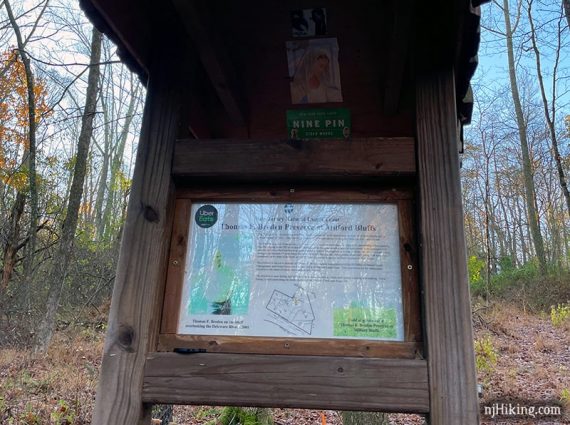
0.0 – From the parking lot, follow the main path that is off to the left of the trail sign.
Continue as the trail turns to the right.
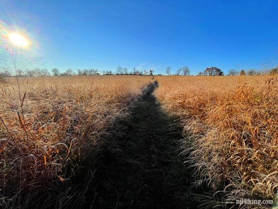
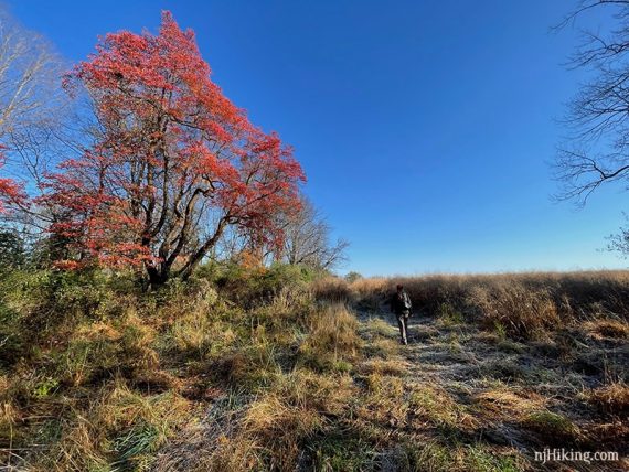
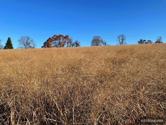
0.4 – Arriving at the edge of a field, continue straight, walking with fields on either side.
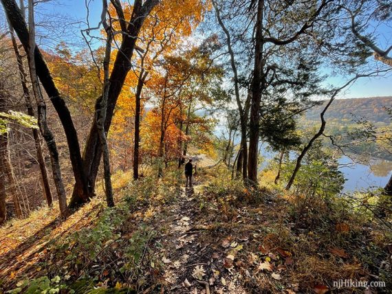
0.7 – At the tree line, turn LEFT and follow the path as it parallels the cliff.
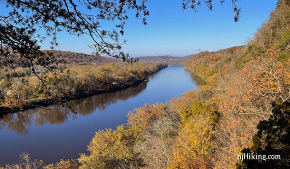
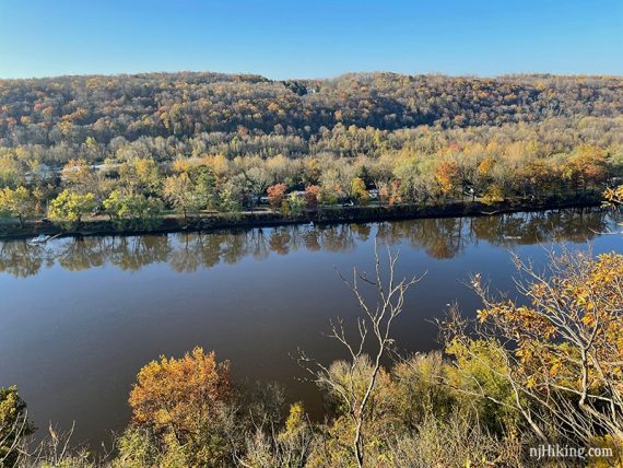
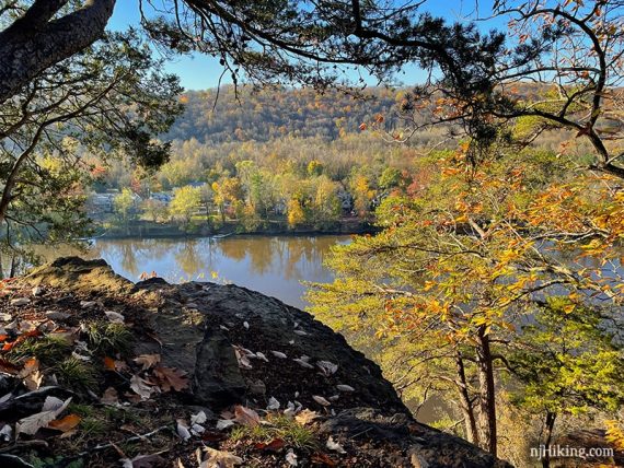
0.9 – There are open areas with views looking down the Delaware River, with the Upper Black Eddy – Milford Bridge visible in the distance.
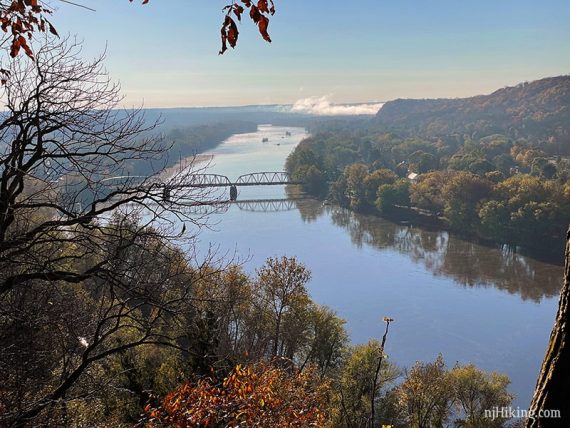
There are views across the river into Pennsylvania.
The trail dead ends at a drop off. Turn around and retrace the route.
1.1 – Continue past where you turned at the tree line at the edge of the field. No open area for views along this section.
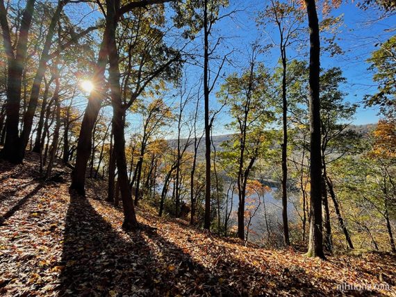
1.3 – Once past the end of the field, head to the left towards the cliff edge.
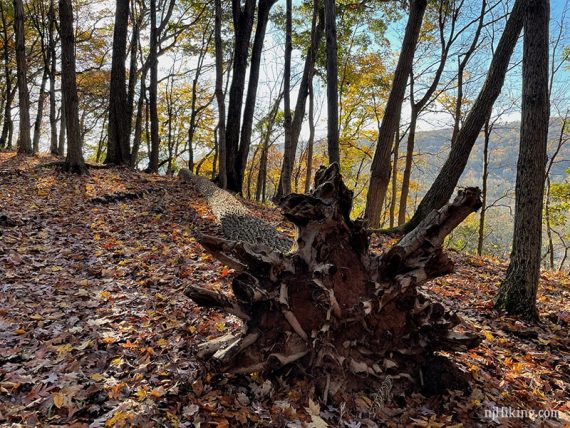
The trail goes rather steeply downhill to another viewpoint. There was fallen tree with large roots off to the side.
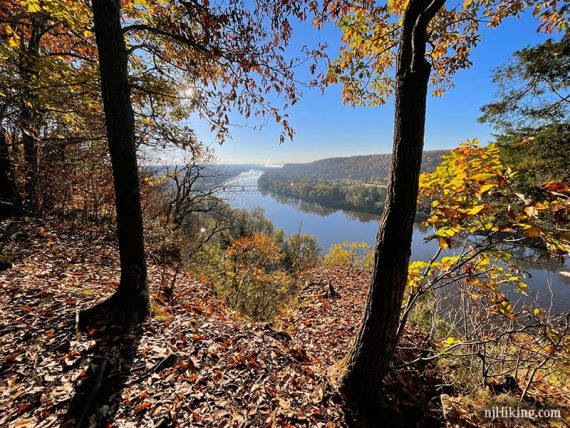
1.4 – This expansive view looks up the Delaware River and over into Pennsylvania.
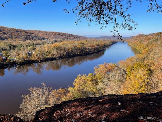
This photo somewhat conveys the cliff edge and drop off at this viewpoint:
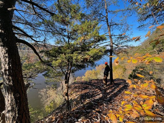
The eroded shale that makes up the bluffs is visible.
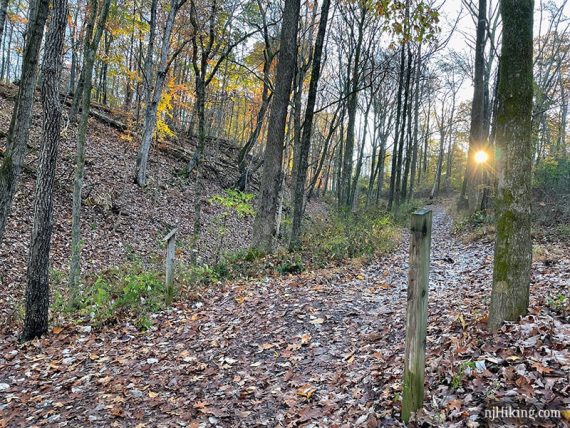
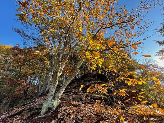
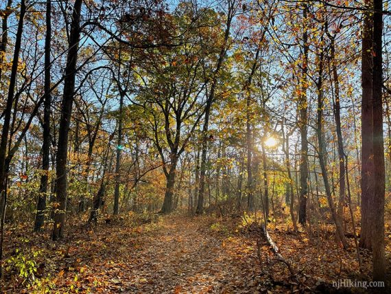
We never pass up a chance for a cool tree photo:
When ready, head back uphill.
1.5 – At the corner of the field again, turn LEFT and follow along the edge of it.
Continue following the field edges.
1.7 – Where the trail goes left and straight, we went LEFT – but straight will meet up too.
1.9 – Meet up with the main trail from earlier and retrace back to the lot.
—
Hiked: 10/31/20.