Hiking Mt. Tammany then taking the fire road to Sunfish Pond.
Route: From the rear of the parking lot, on the right side as you enter, look for the RED DOT sign. Follow the RED DOT trail up to the summit of Mt. Tammany.
11 miles roundtrip (if you prefer a 3.5 mile Mt. Tammany only summit loop).
Complete hike details on our main Mt. Tammany and Sunfish Pond page.
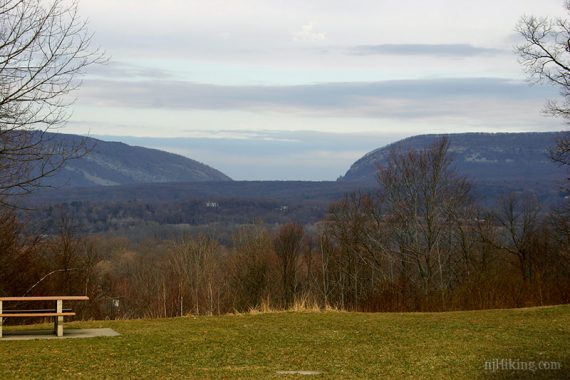
On the way to the trailhead we stopped at the scenic overlook on Rt. 80 for a view of the Delaware Water Gap – the “gap” is easily seen from here.
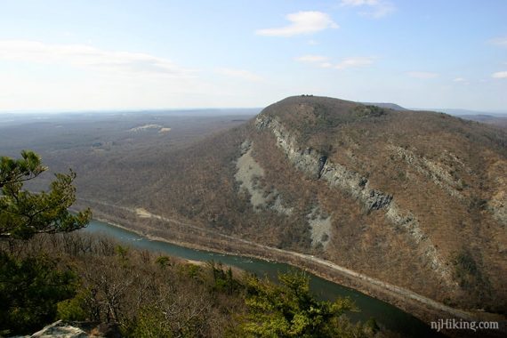
We’re headed up Mt. Tammany, on the right. Pennsylvania’s Mt. Minsi is on the left.
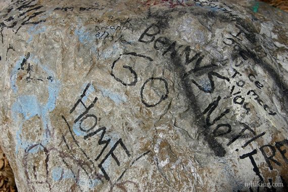
Rocks at the overlook had graffiti…
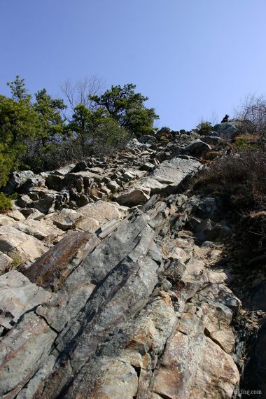
The trail is marked with a red dot painted on a white background. The trail is steep and very rocky in sections.
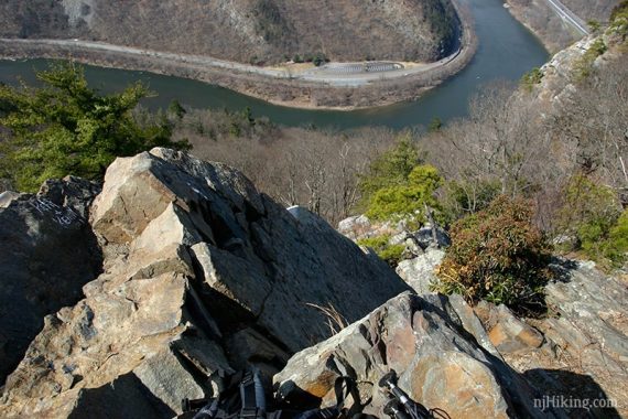
About .5 miles up there is a very nice view where you can see both the summit (on your left), Rt 80 and the Delaware River going through “The Gap” and Mt Minsi on your right. This is a good spot to watch hawks.
At the summit there are broad views of the entire Gap area, Rt 80 and Mt Minsi.
You can scramble down the rocks or stay at the top. This is also a good area to watch hawks.
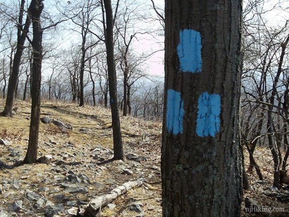
The RED DOT trail ends at the summit. Now follow the BLUE markers along a woods road for a bit. BLUE makes a left turn, but continue straight along the UNMARKED fire road.
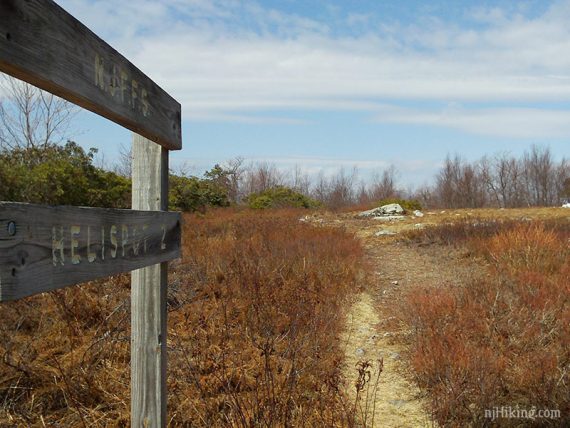
This goes for some time along the ridge, and passes a heliport area for the forest dept.
TURQUOISE will enter from the left. Follow this west to the SUNFISH FIRE ROAD.
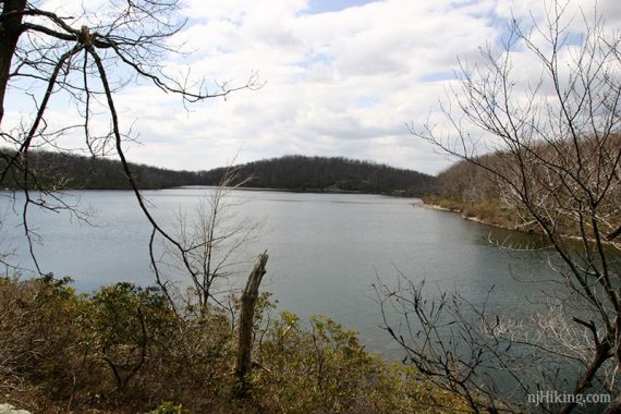
Turn left onto the FIRE ROAD for a short bit then rejoin TURQUOISE on the right. Follow that west for a short bit until you arrive at the northern end of SUNFISH POND. There are rocks to sit on that overlook the pond.
Backtrack on TURQUOISE. At the SUNFISH FIRE ROAD, turn right and continue to the GREEN trail.
Make a left onto GREEN and follow it up and then down a rocky trail. It bears right at the bottom and continues through a wet area. Soon you will be following Dunnfield Creek.
Pay attention to the GREEN markers to know when to cross the creek. High water can make them a bit tricky.
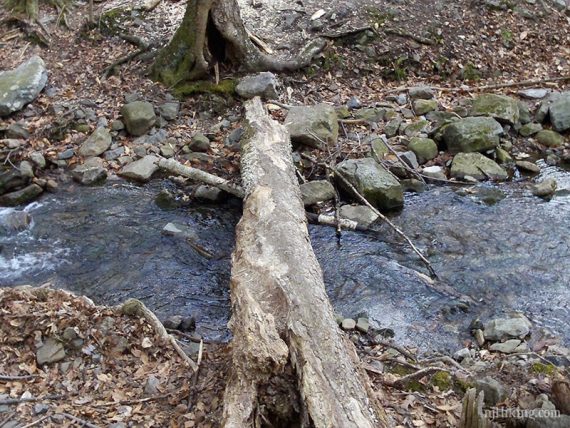
There is a high-water bypass for one section if its too difficult to rock hop across. This is an exceptionally pretty trail.
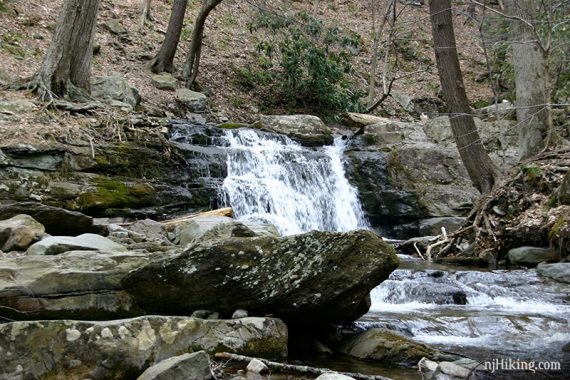
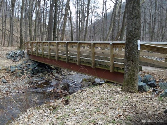
You will see BLUE come down from your left just as you get to a bridge and a water cascade.
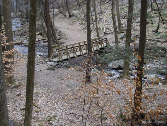
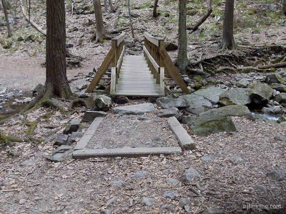
Cross over the bridge and follow as it bears left.
The AT will be coming in from your right and join the trail.
Follow the trail along another very pretty (and very popular) section of Dunfield Creek. You cross one more bridge as the parking lot comes into view.
Note: There was no porta-john in the lot, it must be removed seasonally now.
If it’s not there, there are portas at the visitor center on Rt 80 south. Go back out the lot, drive down Rt 80 to the next exit. Bear left where the road splits – do not go up to the light.
Keep on the right and do not re-enter Rt. 80, and you will approach the visitor center lot on the right.
–8/2020: Added photos from archive, from before we were adding them to Trail Blogs (early site version 1.0).
There is a large forest fire at sunfish pond. the AT is closed from mohican rd south to the gap. hikers must use old mine rd.
Thanks for posting the info.
For anyone heading up that way for a hike, this article from 8/8/2010 lists the sections of trails closed [link outdated]