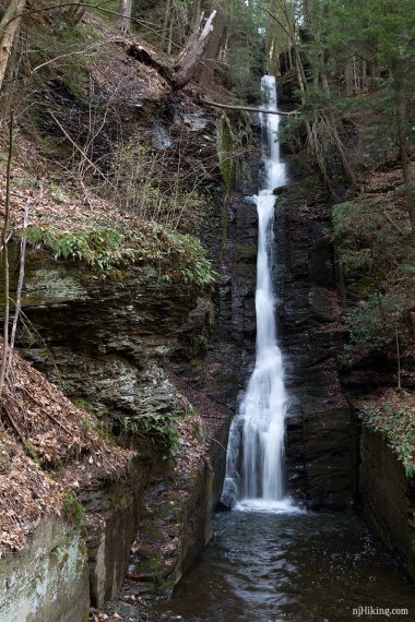
Two beautiful waterfalls accessible to everyone via a short boardwalk trail through a hemlock ravine filled with rhododendron.
1.0 miles; Accessible boardwalk to Dingmans and optional stairs/trail to a viewing area above the falls.
| 1.0 miles | This hike guide: Detailed instructions and photos follow below. |
| Shorter | 0.8 – Skip the upper viewing area. |
| Nearby | Raymondskill Falls, Cliff Park, Milford Knob, Hackers Falls; George W. Childs Park; Pocono Environmental Education Center. |
Our two cents:
Worthwhile add-on when doing other hikes in the area but hugely popular due to the easy access.
Plan your visit when the gate is open unless you enjoy adding 2 miles RT walking on a paved park road.
*CLOSED* Dingmans Falls – including the access roads, visitor center and trail system – is closed for bridge construction. Anticipated completion is Spring 2026. During construction, ALL traffic is prohibited, including pedestrian, cyclist, and vehicle traffic. Source: DWG’s Facebook post. As an alternate, Childs Park is very nearby and also has beautiful waterfalls.
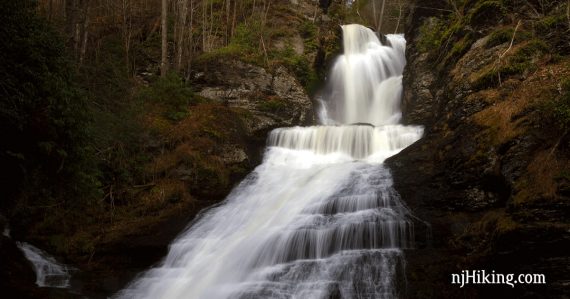
Photo note: In the early morning sunlight and depending on the time of year, you might find the lower part of the falls in shadow while the upper portion is lit, making it a bit tricky to get a good shot.
Updated: 5/2025 – Minor edits, closure note. 7/2021 – Page refreshed; not re-hiked.
Hike Info:
Map/Books:
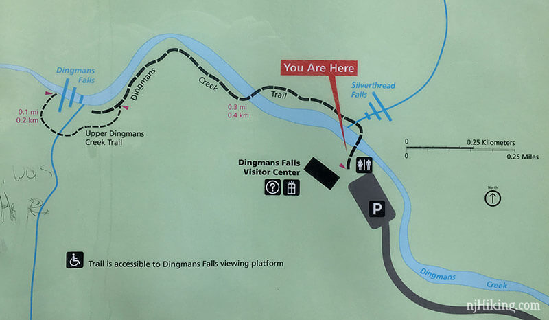
Kittatinny Trails and we’ve included a photo of the detail map that is posted at the trailhead. Follow along on your smartphone with our Interactive Map link above. Longer version in Hiking Pennsylvania and Hiking the Poconos (2026) that shows an outdated connection to Childs Park.
Parking: N41.22027° W74.87165°
This link directs to the start of the park access road – drive further up the road to the visitor center lot when the gate is open. This is a very popular area and the lots fill in summer.
Address is “Dingmans Falls Visitor Center, 224 Dingmans Falls Rd, Dingmans Ferry, PA 18328”, but Google etc might incorrectly direct to an adjacent road and not the park road.
From Rt 80 W take exit 34B for Rt 15 N. Turns into Rt 206 N. LEFT on 560/Tuttles Corner Dingmans Rd. Cross Dingmans Ferry Toll Bridge. LEFT on 209. RIGHT at sign for Dingmans Falls.
Winter: When the gate is closed, park at this lot and walk up the paved access road. This adds a ~2-mile round trip walk to your day. The gate is closed at first significant snowfall until the snow has melted in the spring, usually mid-April.
Restrooms:
Composting bathroom in the Visitor Center parking lot.
They are likely seasonal; however they were open when we visited in mid-April when the access road was open but the visitor center wasn’t open for the season yet.
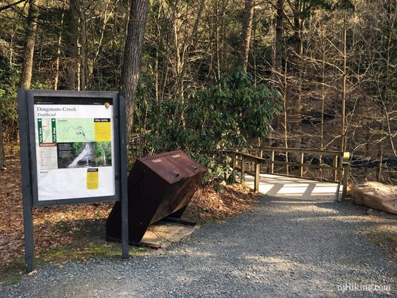
Hike Directions:
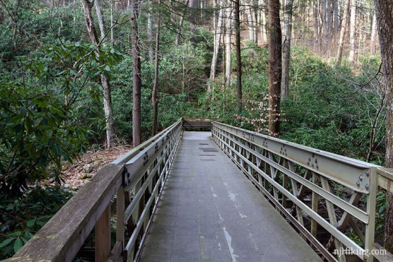
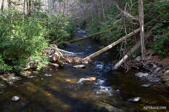
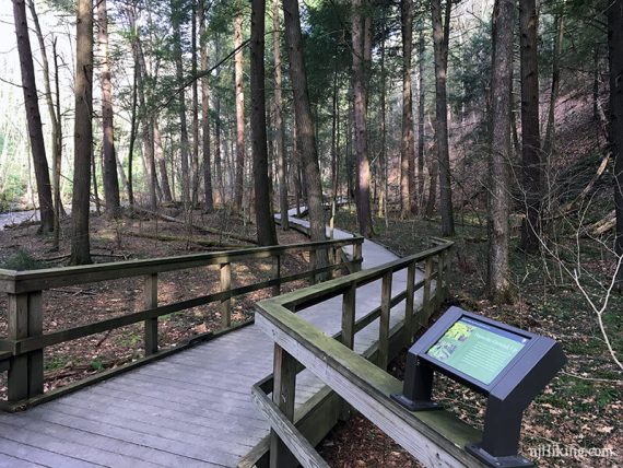
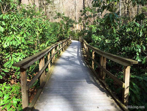
There is just one easy trail – follow the boardwalk past Silverthread Falls, and on to Dingmans Falls.
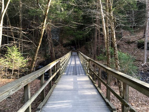
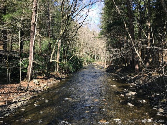
The ADA accessible boardwalk trail follows along Dingmans Creek.
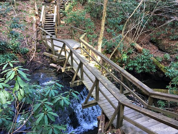
Silverthread Falls is near the beginning of the trail.
Keep meandering on the easy boardwalk.
Rhododendron thickets line the trail and bloom around July.
Arrive at the end of the boardwalk trail and Dingman’s Falls.
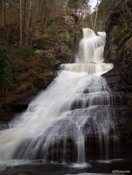
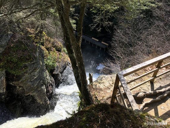
Top of Dingmans falls.
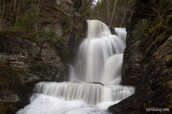
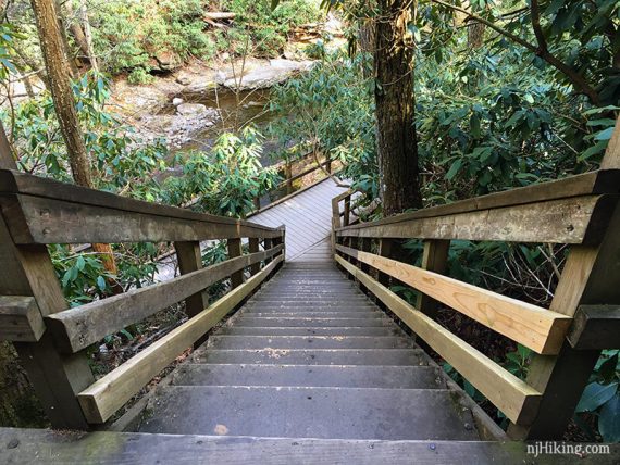
Stairs continue uphill to an area above the falls. This is short and worthwhile but the best view OF the falls is from below.
Looking down on the falls from the stairs.
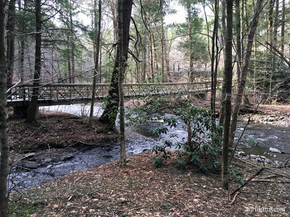
Looking back on the boardwalk in the beginning.
—
Hiked: 4/14/17.