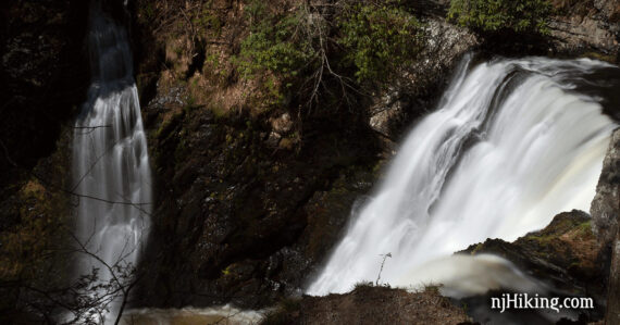
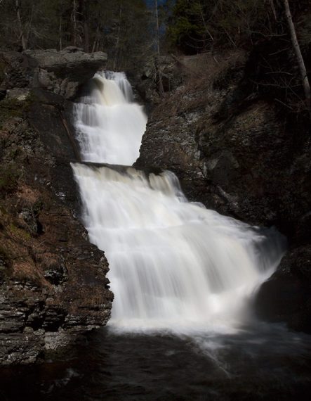
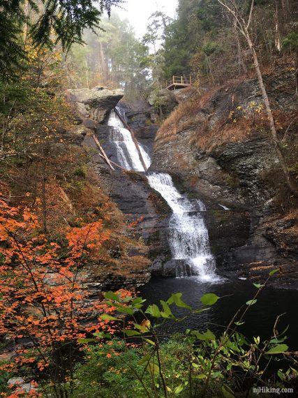
Short hike to a pretty three-tiered waterfall that is the highest in Pennsylvania.
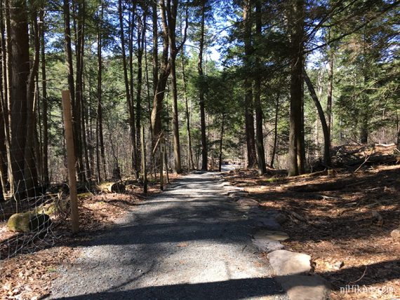
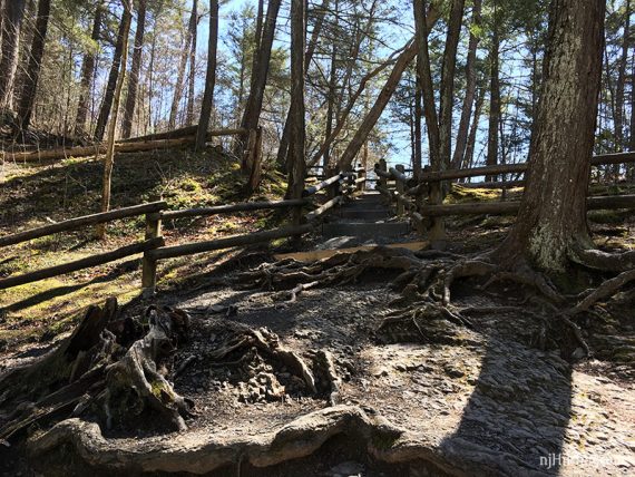
1.1 or 0.5 miles, total round trip. Surface is rooty and steep, with some steps.
| 1.1 miles | This hike guide: Detailed instructions, photos, and video follow below. |
| Shorter | 0.5 – just do the falls and not the spur down to the creek. |
| Longer | Combine with a hike in the Cliff Park, Milford Knob, Hackers Falls area across the road. |
| Nearby | Dingmans Falls; Pocono Environmental Education Center; High Point Monument Loop; Monument Trail via A.T.; A.T. and Iris Loop; Monument Loop via Steeny Kill Lake. |
Our two cents:
Short hike to a large waterfall that is technically the highest in PA… but as its in three sections it doesn’t seem like it. Still nice though.
The spur trail to the river is pleasant but not amazing. It’s rather steep down (and therefore back up) and you aren’t missing much if you just do the falls.
Updated: 5/2025 – Removed shuttle info, no longer running. 10/2024 – Minor edits, re-hiked short loop; with Cliff Park. Older change log at page bottom.
Hike Info:
Map:
Kittatinny Trails and the park map show the area, though they’re small. We’ve included a photo of the detail map that is posted at the trailhead in the Hike Info box. Follow along on your smartphone with our Interactive Map link above.
Parking: N41.29022° W74.84101°
Raymondskill Falls Parking Area, 983 Raymondskill Rd, Milford, PA 18337. If approaching from Rt 80 W – take exit 34B for Rt 15 N. Turns into Rt 206 N, take over the Milford-Montague toll bridge into PA. L on Rt 209. R on Raymondskill Road.
Small dirt lot on the left. If it’s filled, try the Lower Raymondskill/Hackers Falls lot just before it, but both tend to fill up.
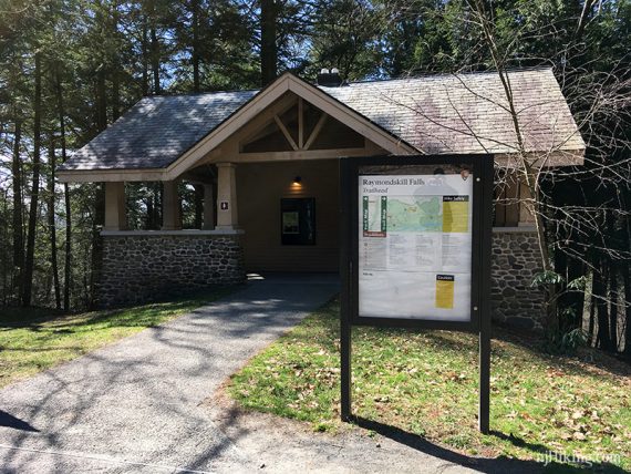
Restrooms:
Composting bathroom in the building in the parking lot (unsure if they are seasonal).
Hike Directions:
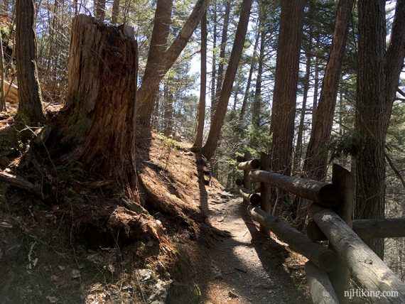
This isn’t a marked trail – follow the paths to the two overlooks and then down to the creek.
To start… when facing the bathroom building, head to the RIGHT towards the upper falls overlook (they’re not named as such, just going by their position on the detail map).
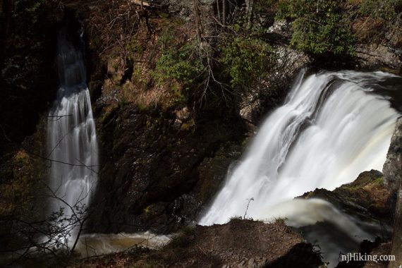
When done, continue on the rocky path to the middle falls overlook.
Middle Raymondskill Falls:
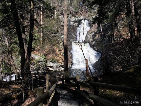
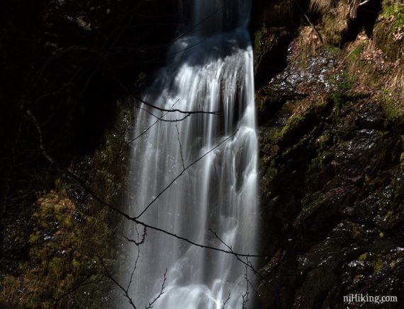
Raymondskill Falls with some fall foliage. The water cascades down a tall rock face into a pool of water below.
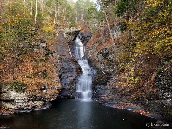
The viewing platform over the falls that were just on can be seen from this angle. The water tumbles over a stepped rock face into the pool below.
From the middle falls overlook, continue on the trail.
// Shorter Option: To make this a short ~.5 hike instead, retrace the trail back towards the upper falls overlook and head back to the lot. //
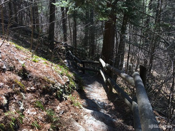
Arrive at a junction. Veer RIGHT to go to the creek [continuing straight/left leads back to the Hackers parking lot, and a trail to the Raymondskill lot].
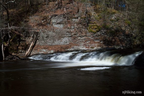
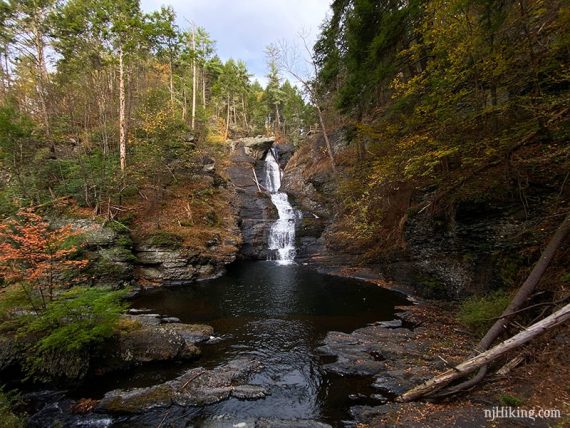
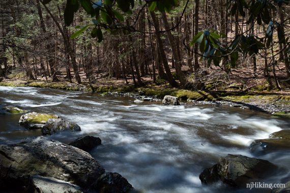
The trail curves steeply downhill, passing a cascade, until reaching creek level.
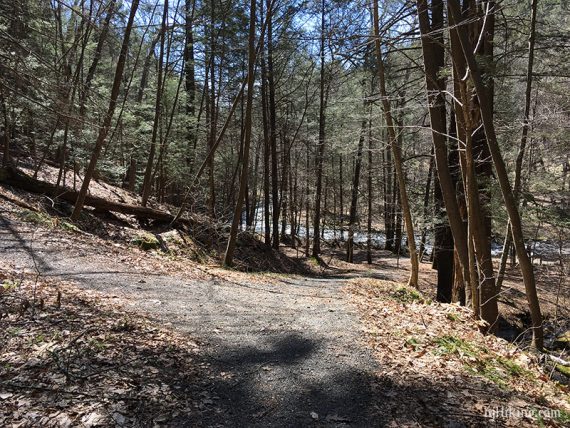
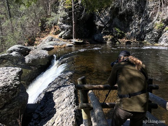
From here get a nice view of Raymondskill Creek.
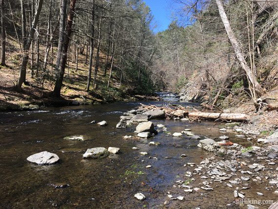
The creek can be explored to the left and to the right a bit.
When done, retrace to the junction with the path to Hackers Lot, and turn RIGHT to go back to the Raymondskill lot.
—
Hiked: 10/6/24. Just the overlooks; with Cliff Park, Milford Knob, Hackers Falls.
Hiked: 10/13/19. Just the overlooks; plus Cliff Park, Milford Knob, Hackers Falls.
Hiked: 4/14/17.
Updated: 7/2023 – Shuttle info updated. 6/2022 – Added shuttle info; not re-hiked.