Hike along a creek in a rocky ravine and through fields undergoing reforestation.
2.2 miles, level grassy paths in the field; dirt with some roots and rocks the creek, slight downhill to get to creek level and then back up.
- Shorter: ~1.2 – Park at the other lot further down Fiddlers Creek Road cuts off the section of BLUE to get to the fields.
- Longer: Add trails from Baldpate Mountain, which start from the same lot.
- Nearby: Washington Crossing SP, Goat Hill Overlook, D&R Canal.
Hike Info:
Our two cents:
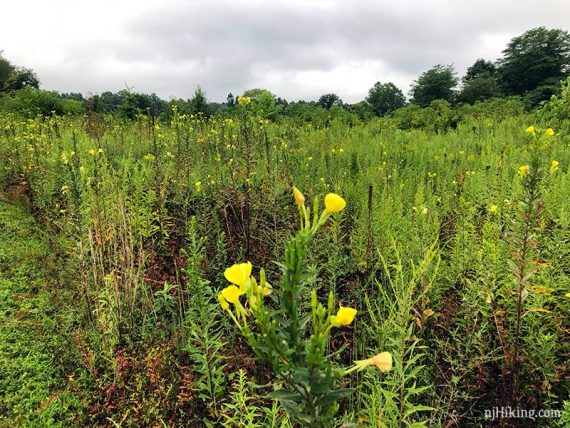
Worthwhile short hike with diverse scenery. Fields that were once farmed have been replanted with native trees and plants, and a stream once used to power a mill now flows quietly through a rocky ravine.
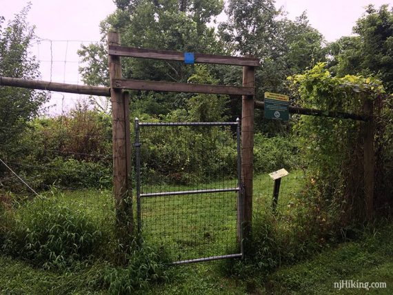
Grass can soak shoes after rain or dew. The center fields are fenced from deer with gates to walk through, be sure to close the gates behind you.
Avid hikers can combine this with Baldpate’s large network of trails that start from the same lot.
Updated: 8/2021 – Page refreshed, not re-hiked.
Map:
Print ahead. A YELLOW trail off that crosses the creek off of the RED trail has been added since we’ve hiked this.
Parking: N40.31823° W74.89042°
29 Fiddlers Creek Rd, Titusville, NJ 08560. Fiddlers Creek shares the same lot as Baldpate Mountain. There is another lot further down Fiddlers Creek Road.
Restrooms:
None in lot. The main park up on Baldpate Mountain has them but unsure of availability. An option is a nearby D&R Canal lot that has a bathroom at River Road and Rt 546 near Washington Crossing park.
Hike Directions:
Overview: BLUE (Overlook) – RED (Ravine) – BLUE (Overlook)
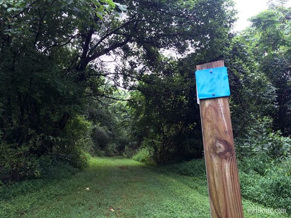
0.0 – At the far end of the Baldpate/Fiddlers lot follow the sign for Fiddlers Creek by turning left and walking on the grass towards Fiddlers Creek Road.
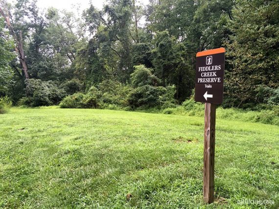
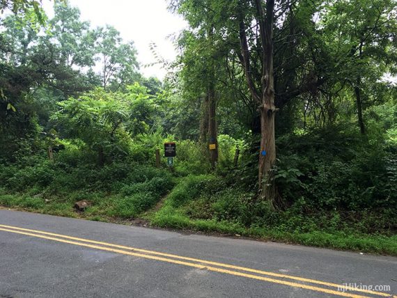
Cross the road, following BLUE (Overlook).
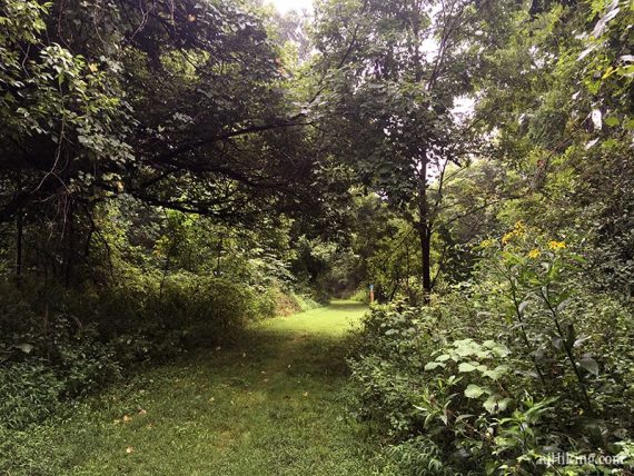
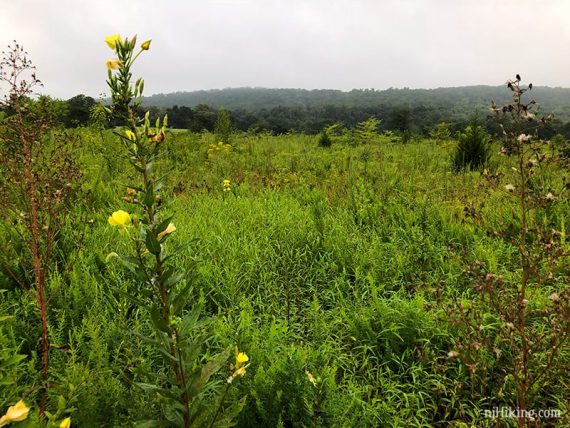
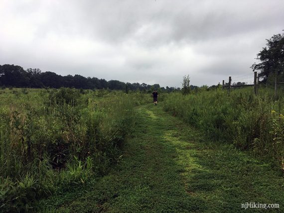
0.5 – Pass through the SW Gate and continue on BLUE (Overlook) [RED (Ravine) goes left.] The replanted fields are fenced, be sure to shut the gates after passing through.
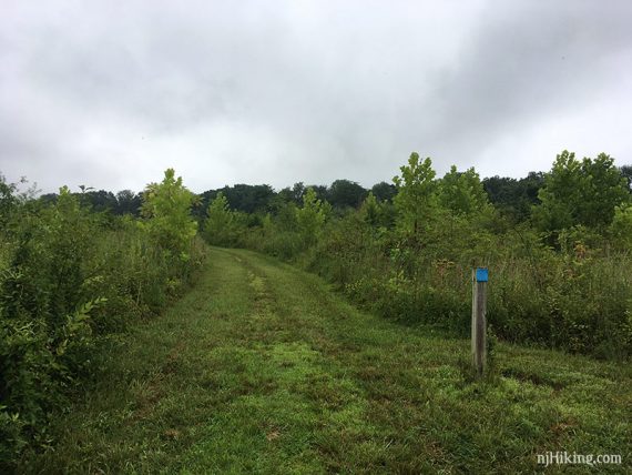
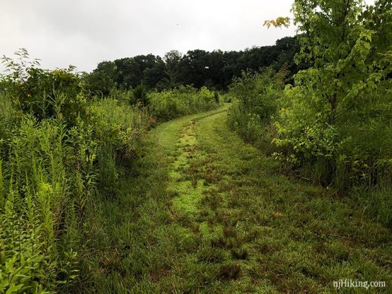
Replanted fields with Baldpate Mountain in the distance.
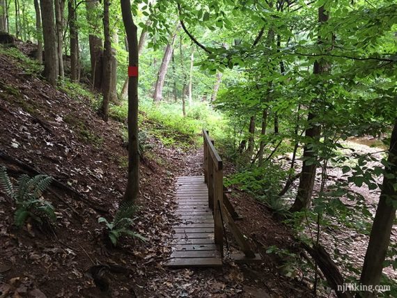
0.8 – Exit through the SE Gate and start walking downhill. Turn RIGHT to now follow RED (Ravine). [BLUE (Overlook) goes left – cut the hike short this way].
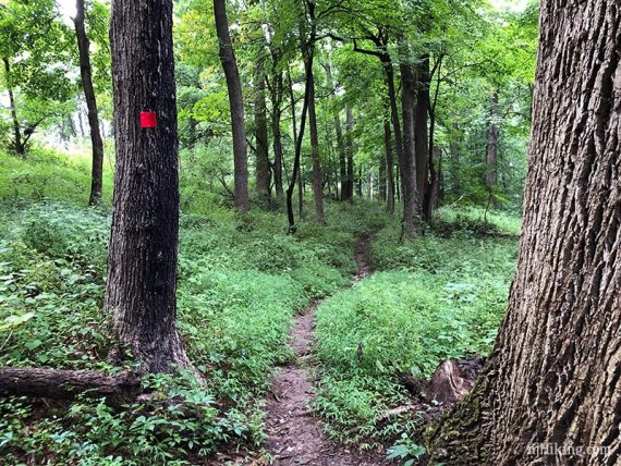
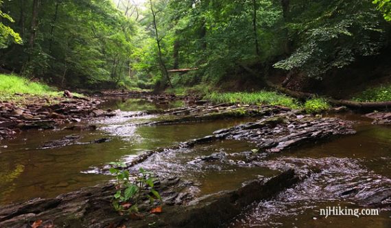
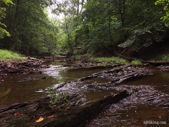
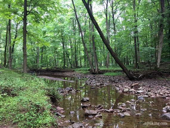
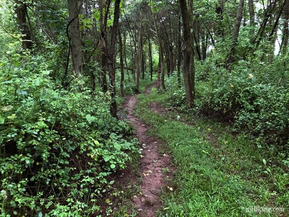
RED (Ravine) goes downhill to Fiddlers Creek, then turns to the left and follows along the creek.
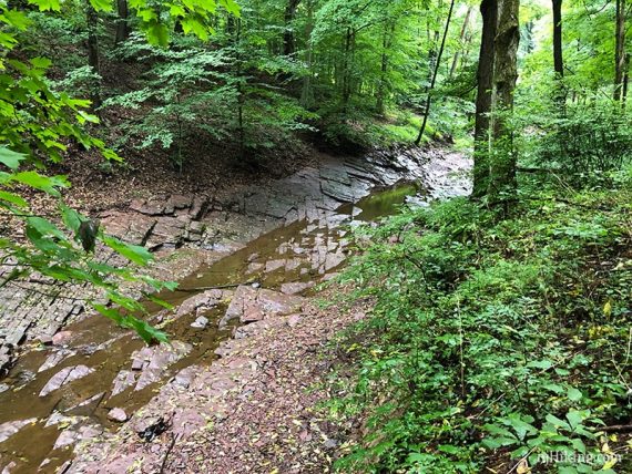
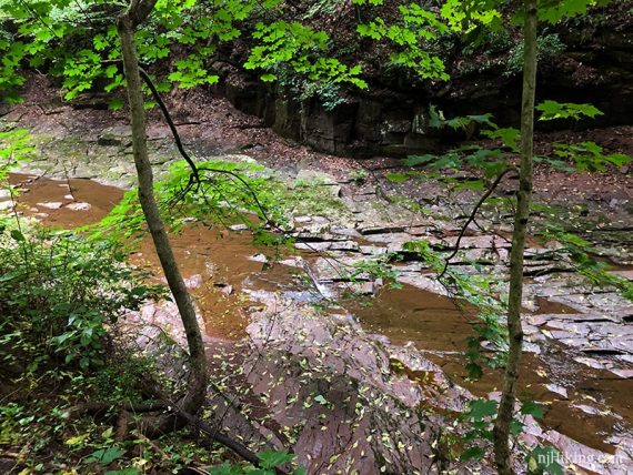
Continue hiking along at creek level. There are many rocks along the creek.
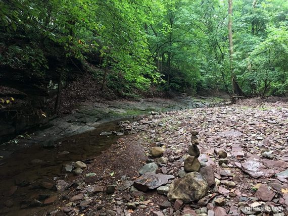
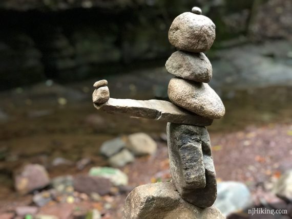
There were some cairns (piles of rocks meant to mark trails) / rock art the day we hiked.
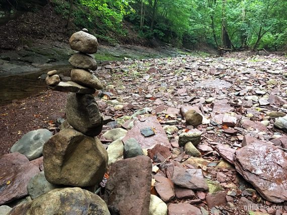
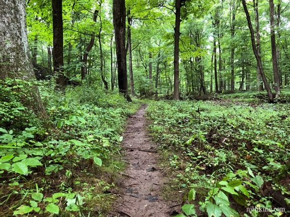
Continue following RED (Ravine) along the creek.
1.1 – Continue following RED (Ravine). [WHITE (Stoneface) goes up to the left – cut the hike short this way]
Pass the YELLOW trail crossing the creek to the right. [This was added to the map after we hiked here.]
1.3 – Pass through NE Gate and continue on RED (Ravine).
1.5 – Continue on RED (Ravine) as it turns left and follows the inside of the fence. [BLUE (Overlook) turns SHARP left. Exiting the NW Gate leads to the other parking lot]
1.8 – Exit the SW Gate and retrace RED (Ravine) back to the lot.
—
Hiked: 8/12/18.