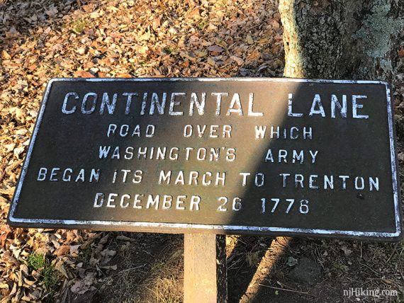
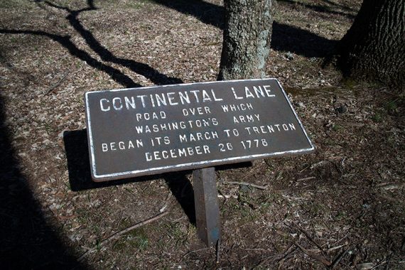
Hike with history at a scenic park near the site of Washington’s crossing of the Delaware River and the Continental Army’s route to Trenton in 1776.
Miles: 4.1 or 7.2 (Hike #2 is from an alternate parking lot). Surface is dirt/roots, not that many rocks. Some minor hills.
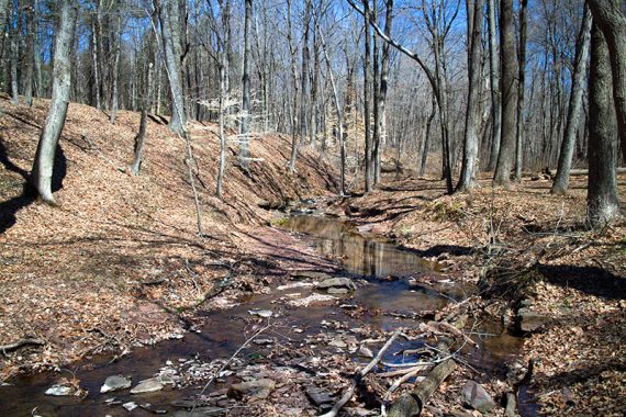
| 4.1 or 7.2 miles | This hike guide: Detailed instructions and photos follow below. |
| Shorter | RED DOT, GREEN DOT, BLUE DOT and YELLOW DOT are less than 3 miles each – lots of loop options possible out of these. |
| Even shorter | RED loop, park at the Nature Center within the park |
| Alternate | The D&R Canal Towpath runs parallel on the opposite side Rt. 29. BLUE DOT or YELLOW DOT could be used to make a loop back to the parking lot. |
| Nearby | Fiddlers Creek; Baldpate Mountain; D&R Canal hike/bike; Goat Hill Overlook |
Our two cents:
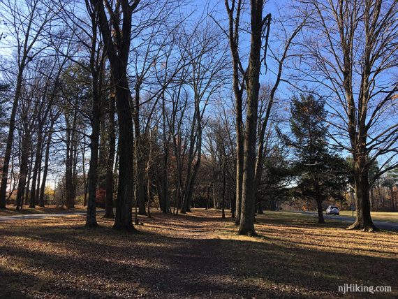
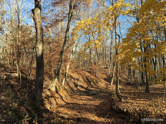
Scenic, historic park that is more suited for easy or short hikes, but avid hikers can still get some miles in.
Optionally extend a hike by crossing into Baldpate Mountain: In the north of the park, near the Pond, cross Church Rd and enter into the Honey Hollow Section.
Updated: 6/2026 – Minor edits; not re-hiked. Older change log at page bottom.
Hike Info:
Map:
Printed maps are usually outside the visitor center or print out a map PDF ahead.
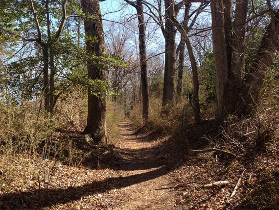
While the network of trails makes it easy to shorten or lengthen the route as you go, these multiple junctions can also be a tad confusing.
It’s actually easier to meander and piece a route as you go but we’ve given directions with the main intersections below for two different hikes.
Books:
A short hike from the River Road Lot is in Best Day Hikes in New Jersey. A 4-mile hike from the PA side parking is in 60 Hikes Within 60 Miles: Philadelphia.
Hike #1 – From Main Lot
Parking: N40.30290° W74.86095°
Washington Crossing State Park Visitors Center Museum, Titusville, NJ 08560. Visitor Center lot. Rt. 1 S to 95 S to Rt 29 N. Turn RIGHT at a light onto Washington Crossing Pennington Rd.
The park entrance will be on the LEFT. Note: Online routing may try to enter via an authorized-only road. The actual entrance has a large sign.
Follow signs to the visitor center lot (enter and make a left at the main intersection).
Fee: Memorial Day to Labor Day. See NJ State Park Pass. Start the hike from Hike #2 parking area to avoid.
Restrooms:
In the visitor center, when open.
Hike Directions:
Miles: 4.1 miles. Hiked 11/2019.
Follow along on your smartphone with our Interactive Map.
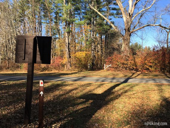
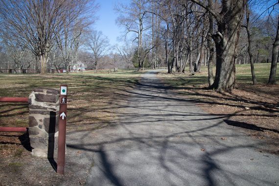
0.0 – From the lot or visitor center, walk towards the park road to get on Continental Lane/RED DOT. It may not be marked at first.
Once at the trail, turn LEFT and start following it parallel to the the park road.
0.3 – Turn RIGHT to now follow RED DOT.
Follow RED DOT all the way to near the Nature Center.
1.7 – RED DOT ends just before a driveway for the center, follow the driveway to the center to pick up RED.
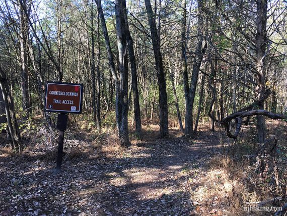
Follow RED counterclockwise from the Nature Center (which I just realized I have zero photos of…), passing intersections with other trails such as WHITE, GREEN, or BLUE.
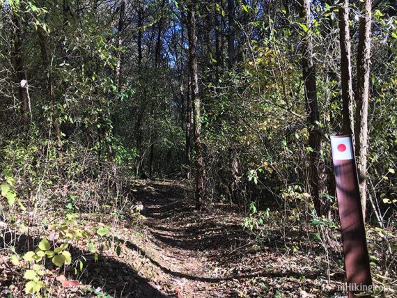
2.2 – Follow a very short Unmarked Trail Connector to BLUE DOT. This may be unclear. The connector appears on one trail map and not the other.
Turn LEFT to now follow BLUE DOT.
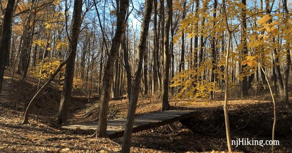
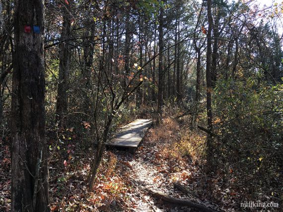
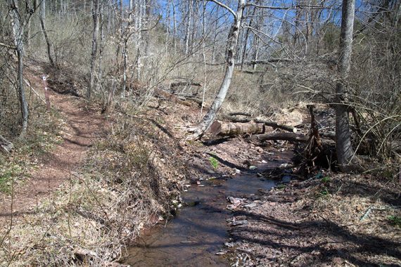
2.9 – BLUE DOT arrives back at a bridge over the stream. At this intersection start following YELLOW DOT as it turns and parallels the stream.
Continue on YELLOW DOT passing an amphitheater on the left.
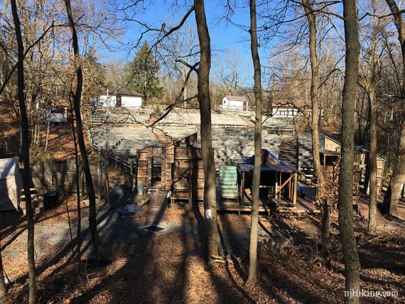
Cross a park road. Turn around to check out the arched stone bridge.
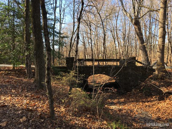
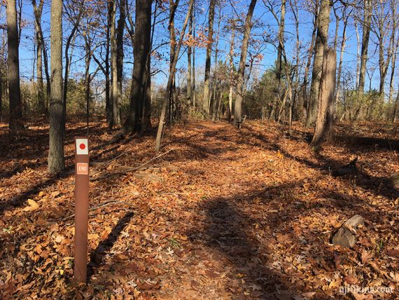
3.6 – Not long after crossing the road, YELLOW DOT ends. Turn RIGHT and follow Continental Lane Trail (this turn might not have been marked).
4.0 – Continue following Continental Lane Trail until very near the parking area. Turn left to cross the park road back to the lot.
Hike #2 – From River Road lot
Parking: N40.29823° W74.86829°
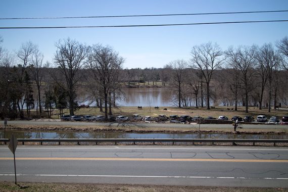
Washington Crossing Bridge Parking Lot, Titusville, NJ 08560. River Road lot. Rt. 1 S to 95 S to Rt 29 N. Turn LEFT at a light onto Washington Crossing Pennington Rd, then quick RIGHT on River Rd. to parking lot (don’t cross the Delaware!).
The lot is large but fills up, as it is also for the D&R Canal towpath.
Restrooms:
At one end of the parking lot. Also at the visitor center and various parking areas within the park itself.
ROUTE:
Miles: 7.2 miles. Hiked: 4/2015.
0.0 – Walk out of the parking lot towards Nelson House and Rt 29. Follow the pedestrian bridge into to the park.
Start following GREEN DOT. There is a view of the Delaware River in the beginning, off to the left.
0.3 – Start following the Continental Lane Trail.
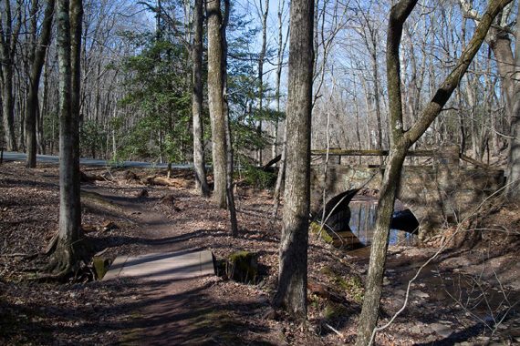
1.1 – Turn sharp LEFT to now follow YELLOW DOT. Cross the park road near an arched bridge.
1.6 – Turn RIGHT to now follow RED DOT. Cross BLUE DOT two times.
1.8 – At the third intersection of BLUE DOT, turn LEFT to now follow BLUE DOT. Take this all the way out to Rt 29.
3.3 – Backtrack from the end of BLUE DOT near Rt. 29 to the intersection with the Horseback Riding Trail.
3.8 – Now follow Horseback Riding Trail. Pass a RC flying field. Pass the other end of the Horseback Riding Trail loop on the right (note for the return).
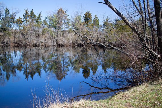
4.5 – To find Church Pond for a break spot: when the Horseback trail T’s at gravel road, turn LEFT. Walk a short bit.
Turn RIGHT at a gate by a few dirt parking spots. It wasn’t obvious from the trail. There were a couple of benches when we hiked this.
Backtrack, following the Horseback Riding Trail to where it splits. Turn LEFT on Horseback Riding Trail.
4.9 – Follow the various Nature Trails – WHITE, GREEN, BLUE. This area can be confusing.
5.3 – Follow a very short Unmarked Trail Connector to BLUE DOT. This area may be unclear, a connector appears on one trail map but not the other.
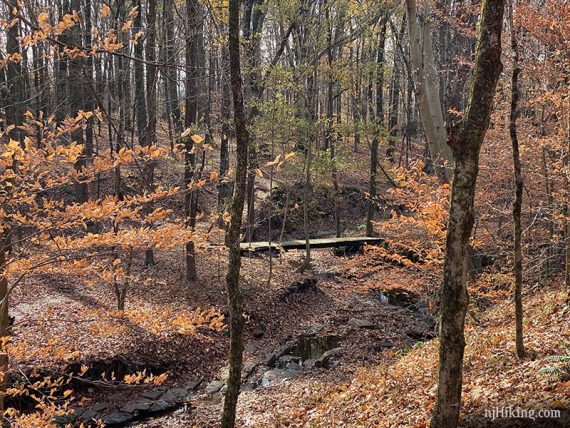
Turn LEFT to now follow BLUE DOT. Follow BLUE DOT all the way to a bridge over Steele Run.
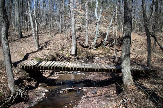
6.2 – Cross the bridge over Steele Run and now follow RED DOT.
6.5 – Turn RIGHT to follow GREEN DOT back to the pedestrian bridge and the parking lot.
—
Hiked: 11/23/19 – from Visitor Center, minor variations.
Hiked: 11/19/16 – from Visitor Center.
Hiked: 04/12/15 – from River Rd Lot.
Updated: 3/2023 Page refreshed, minor edits, not re-hiked. 12/2019: Re-hiked, description additions. 12/2016: Added a 2nd hike route, photos, online map. 3/2016: Link to the new, more detailed map added.