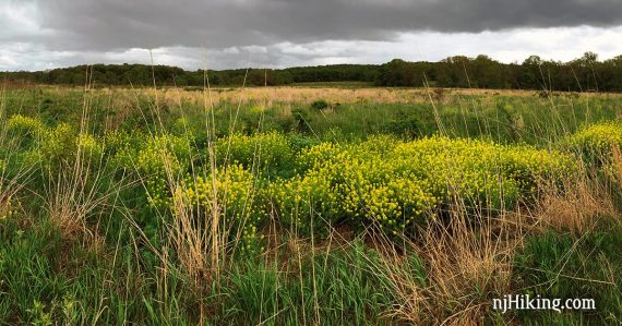
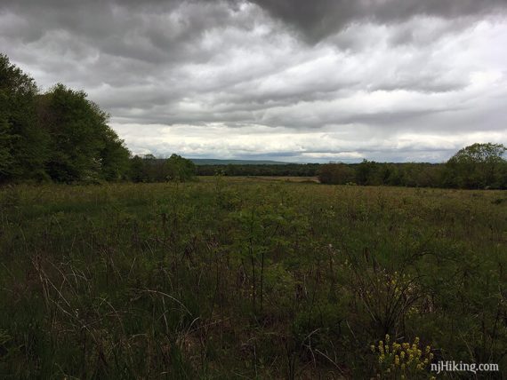
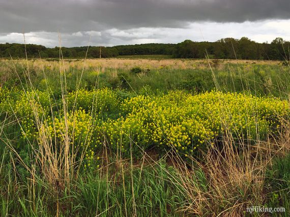
An interesting combo of forest, fields, and grasslands.
5.3 miles. Easy trail through forest and along fields and grasslands; minor hills.
| 5.3 miles | This hike guide: Detailed instructions, photos, and video follow below. |
| Shorter | Blue (.9), Red (1.1) – both loops start from the parking lot 3.9 – skip the section of BROWN to PURPLE, cutting back on YELLOW sooner |
| Longer | The Brown trail continues on to the trail system at Bunker Hill Natural Area. |
| Nearby | Sourland Mountain Preserve; Butler Road Natural Area; Negri-Nepote Native Grassland Preserve; Six Mile Run Reservoir – Red Trail; Six Mile Run – Canal Road; Mountain Lakes Open Space Princeton. |
Our two cents:
The grasses and wildflowers are the highlight, and ORANGE is probably the nicest trail. The viewing area on RED has a view towards the Sourland mountains, with a sign.
Trails would also be good for snowshoeing but be sure to stay on the edges and avoid going on the fields with tall native grasses. Stick to hiking Sundays during hunting season.
Updated: 2/2026 – Minor edits, updated map link/ park name, formerly “Griggstown Native Grassland Preserve”; not re-hiked. Older change log at page bottom.
Hike Info:
Map:
Paper maps in the trail kiosk or print one ahead. Note: The YELLOW trail on the current trail map differs slightly from when we hiked this, and the current map doesn’t show the PURPLE loop.
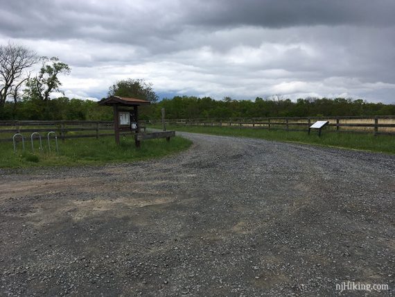
Parking: N40.43575° W74.60985°
John Clyde Native Grassland Preserve, 1091 Canal Rd, Princeton, NJ 08540. Long gravel driveway leads to the gravel parking lot.
There are signs – park site, “1091 Canal Road” and hiker symbol… but the entrance looks like a driveway to a house. The dirt road to the small parking area is long and didn’t seem plowed; a low clearance vehicle might have an issue in snow.
Restrooms:
None. Sometimes there is a portable toilet where the D&R Canal towpath meets the Griggstown Causeway, a few minutes away. If approaching south on Canal Road, the lot for Six Mile Run usually has a portable toilet (just south of Blackwells Mills Causeway).
Hike Directions:
Overview: BLUE – RED – ORANGE – BROWN – PURPLE (which actually looks pretty blue) – BROWN – YELLOW – RED – BLUE
We did the general perimeter of the trail system in a clockwise loop which ended up being 5.3 miles.
The BLUE trail goes around grassland.
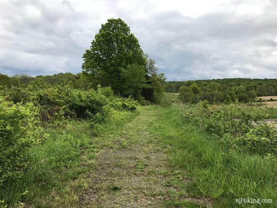
The RED skirts around fields.
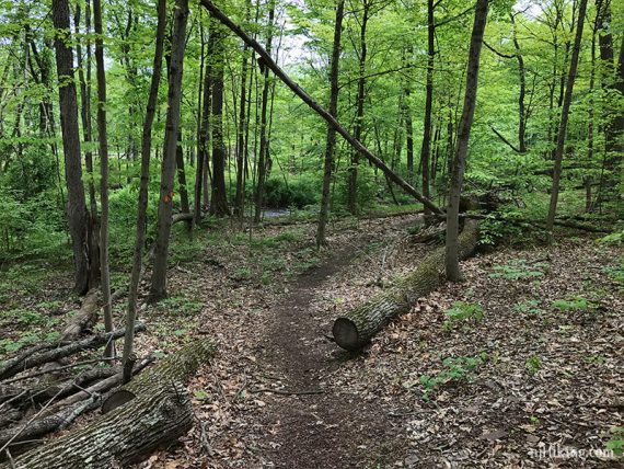
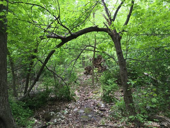
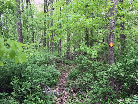
ORANGE, PURPLE and YELLOW are through forest.
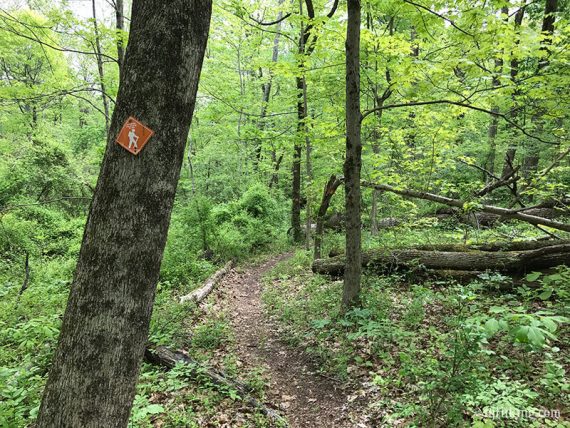
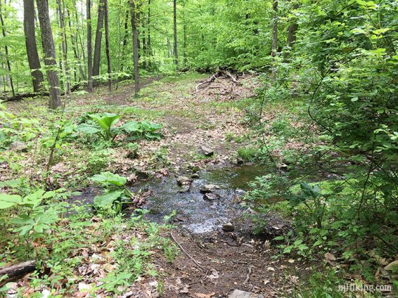
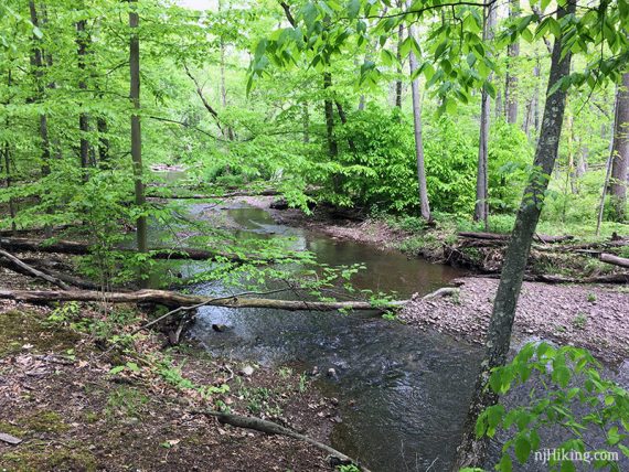
And near a stream.
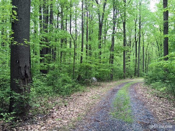
BROWN connects the trails along a woods road. It also leads out to Bunker Hill Natural Area (though the section leaving the park looked overgrown May 2017).
The PURPLE trail doesn’t seem to match the map, there are extra connections or something. The first time we hiked we thought maybe because the trail was snow covered we missed the obvious.
We actually ended up on what seemed like an old path and used our GPS to get back on track.
The 2nd time we ended up incorrect again without realizing it, taking a purple marked path but it went through the middle of the “loop”.
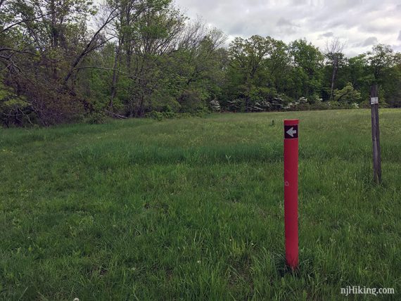
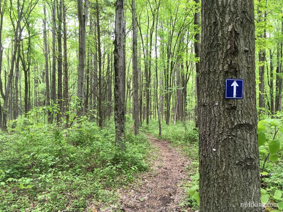
In addition to the discrepancy of the Purple trail to the map, intersections and markings can be a bit confusing.
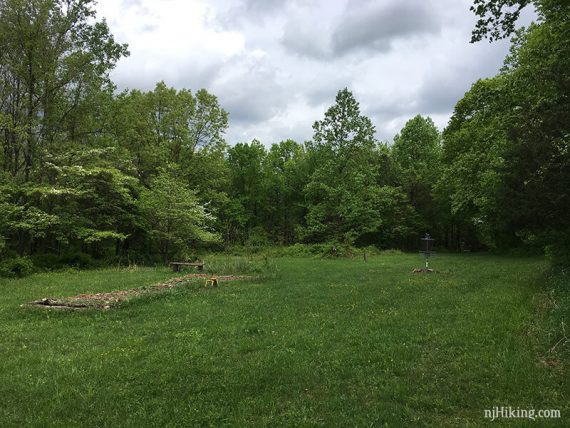
At any rate, at one point PURPLE pops out into a disc golf course.
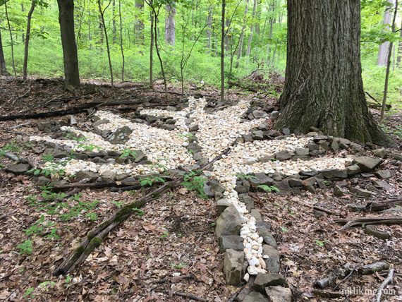
And you might spot a few interesting things along the PURPLE trail.
After the PURPLE loop, it’s back on BROWN to head back. We then turned off on to YELLOW.
/// Shorter: Stay on BROWN, skipping YELLOW.
At the intersection with RED, turn LEFT around field edges to a viewing area.
RED follows field edges to BLUE and back to the parking lot.
—
Hiked: 5/7/17
Hiked: 1/25/15. Photo archive: “Griggstown Grassland in Winter“.
Updated: 4/2020: Page refreshed, not re-hiked. Winter photos archived at bottom. 5/2017 – Added spring photos, moved winter to the bottom of the page.