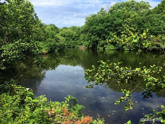
Pretty trails, a lake, and an interesting large boulder field near Devil’s Cave.
3.0 miles. More rugged than expected for the area; a few stream rock hops.
- Shorter: Just take GREEN around the lake or one of the other interior trails.
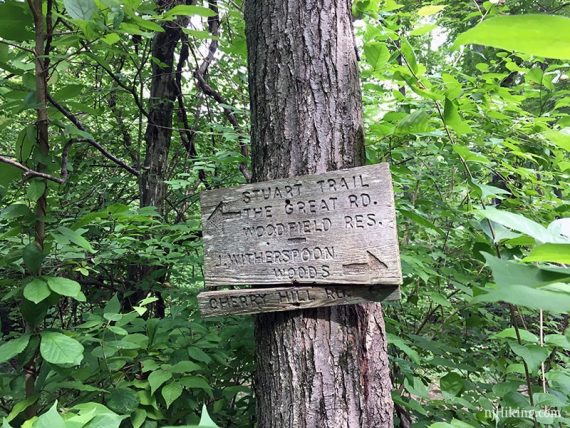
- Longer: Also hike Woodfield Reservation by taking the YELLOW Stuart trail to Great Road (we have not tried this, might require road walking).
- Nearby: Institute Woods; Plainsboro Preserve; Stony Brook-Millstone Watershed; Delaware Canal Towpath; Griggstown Grassland Preserve.
- Nearby Kayak: Carnegie Lake Kayak.
Hike Info:
Our two cents:
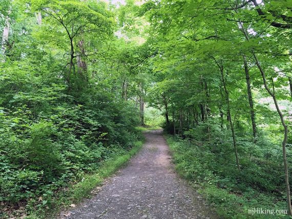
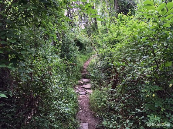
Nice option for short hikes if in the area. Trails are easier near the lake and become more rugged further out in the park.
There are multiple preserves clustered under “Mountain Lakes Open Space Area”, but they are adjacent and on one map and also noted on wooden directional signs. The intricate network of trails can get a bit confusing in a few spots.
Updated: 8/2021 – Page refreshed; not re-hiked.
Map:
Print ahead; or there may be printed maps at the trailhead near the large trail map sign.
Books:
Variation in 60 Hikes Within 60 Miles: Philadelphia.
Parking: N40.35794° W74.67063°
Mountain Lakes Nature Preserve. 30 Mountain Ave, Princeton, NJ 08540. Large paved parking lot.
Restrooms:
Building at parking lot open seasonally, unsure on opening times – was closed around 8:30 am but open at 10 am. A portable toilet was there in February.
Hike Directions:
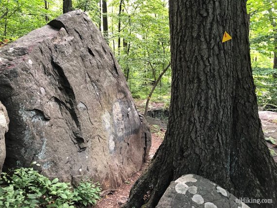
Overview: RED (Stuart Coventry) – GREEN (James Sayen) – RED (Stuart Coventry) – YELLOW (Stuart Witherspoon) – RED (John Witherspoon) – WHITE
0.0 – The RED (Stuart Coventry) trail starts from the corner of the lot near the trail sign and restroom building.
0.2 – Turn LEFT and continue on RED (Stuart Coventry) at the intersection with GREEN (James Sayen).
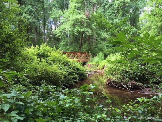
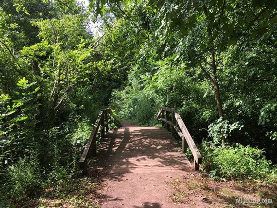
At the next intersection with GREEN, turn RIGHT and start following GREEN (James Sayen). [RED (Stuart Coventry) continues straight, over a footbridge]
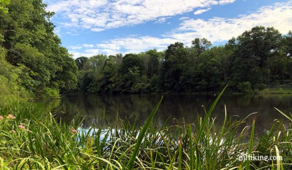
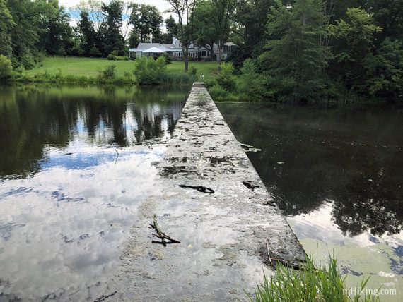
Follow GREEN (James Sayen) along the west side of Palmer Lake. Signs at the corner explain how ice was harvested here until the early 1900s.
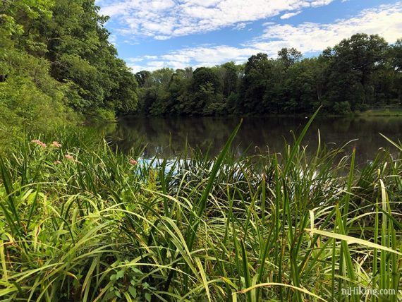
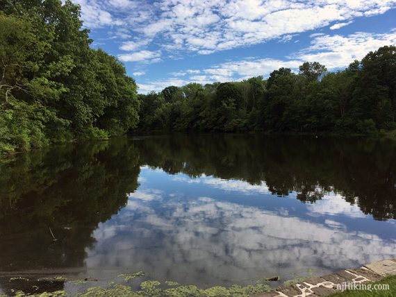
A few side trails get to the lake edge.
0.8 – Start following RED (Stuart Coventry).
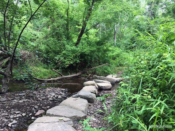
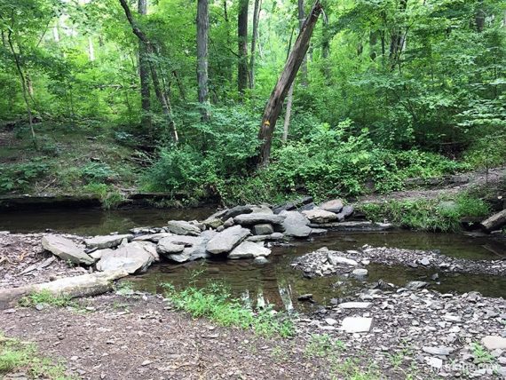
1.0 – Cross a stream on rocks and start following YELLOW (Stuart Witherspoon). [YELLOW also goes to the left towards Great Road and Woodfield Reservation].
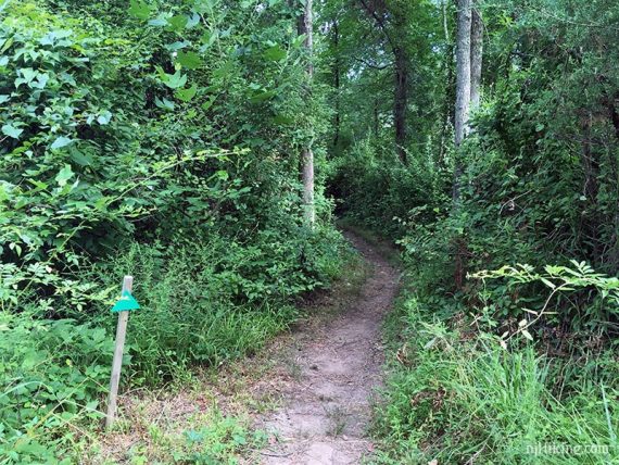
1.3 – Continue following YELLOW (Stuart Witherspoon) as WHITE intersects it multiple times. There is also a rock hop over a stream.
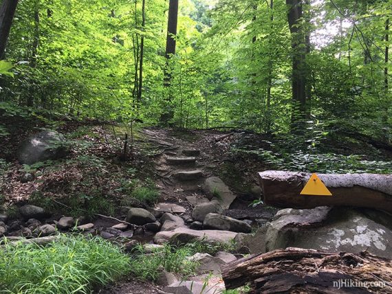
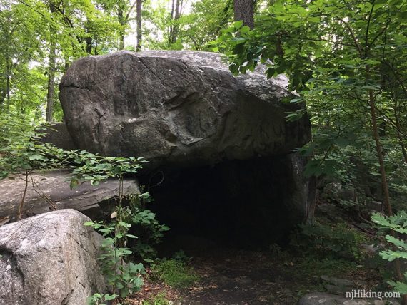
The YELLOW trail meanders through a large boulder field and past Devil’s Cave.
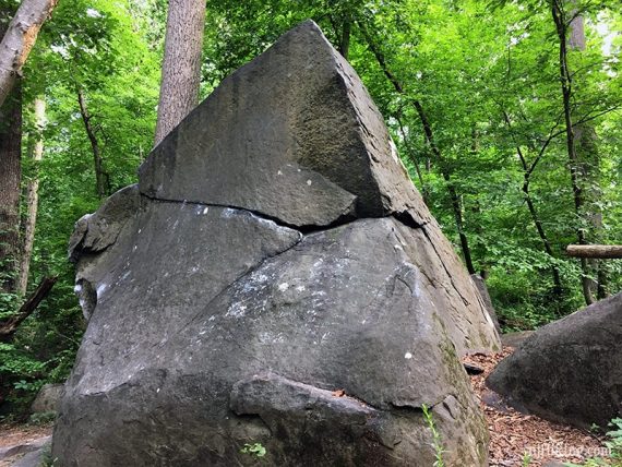
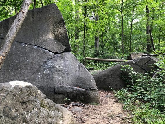
A large overhanging boulder creates “Devil’s Cave”.
1.6 – Start following RED (John Witherspoon). [YELLOW goes left, to a parking area].
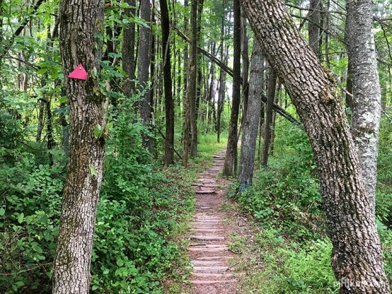
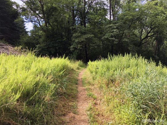
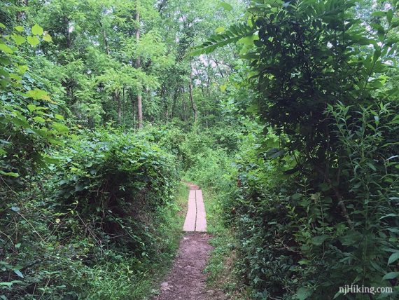
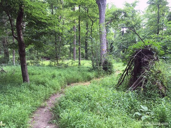
2.2 – Turn LEFT and start following WHITE, which leads back to the lot. It can be a little grassy and overgrown in spots.
// Easier Option: Continue on RED to the paved bike path back to the lot instead. //
2.3 – Turn RIGHT to continue on WHITE [the map shows WHITE also continuing straight to a vista but there’s nothing to see, it just ends up at private property].
Continue on WHITE, intersecting with ORANGE a few times, and BLUE, YELLOW, and an unmarked utility trail.
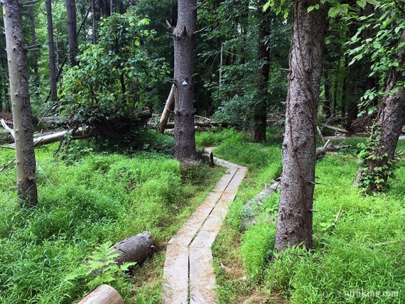
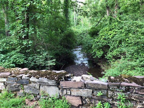
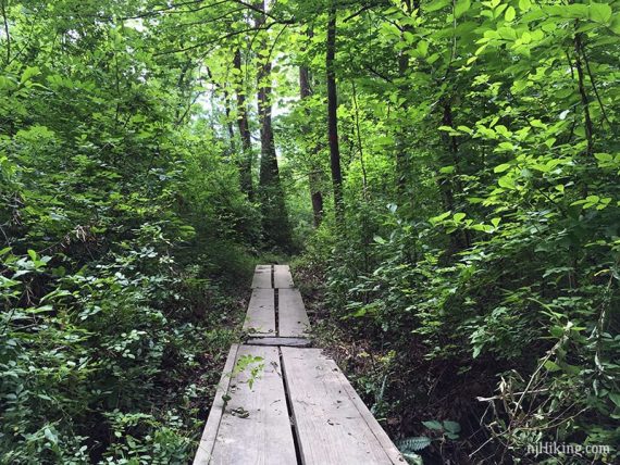
2.8 – Cross a bridge by a pond and continue following WHITE to the lot.
// Optional add-on – Turn LEFT and walk around the pond, adds .3 mile //
—
Hiked: 7/21/18.
Hiked: 2/24/18