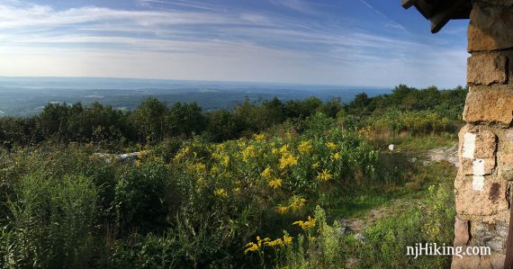
Enjoy plenty of views hiking the Appalachian Trail from Sunrise Mountain to Culver Fire Tower and Culvers Gap.
7.1 or 9.2 miles, total out-and-back. Undulating terrain but not steep, lots of mostly level. Very rocky, with the pointy-jabby rocks common on the Kittatinny Ridge.
| Detailed instructions and photos follow below: 7.1 – To Culvers Gap fire tower. 9.2 – To Culvers Gap viewpoint. | |
| Longer | Keep on truckin’ south on the Appalachian Trail to Georgia, or north to Maine… |
| Shorter | Turn around sooner, or do a two-car shuttle: for ~5.5 miles. Noted below. |
| Nearby, this lot | Culvers Gap to Culver Fire Tower; Culvers Gap to Blue Mountain. |
| Nearby | Different route to Sunrise Mountain; Blue Mountain Loop – Lower; Blue Mountain Loop – Upper; Tillman Ravine; Stony Brook Falls; Stony Lake Loop. |
Our two cents:
Several big views along a mostly level trail, a fire tower, and easy navigation make this a solid pick. Turning around at the fire tower and skipping the last viewpoint is still a great hike.
Those views make this a good option for fall foliage – roughly the 3rd week of October for this area, depending on how the season is going.
Updated: 7/2026 – Minor edits; re-hiked. 10/2020 – Page refreshed, Culvers Gap to Tower section re-hiked.
Hike Info:
Map/Books:
Use Kittatinny Trails or the map on the park site. Follow along on your smartphone with our Interactive Map link above.
Shorter loop variation in Hiking New Jersey (2023).
Parking: N41.21948° W74.71808°
“Sunrise Mountain Overlook”. There’s no street address for this lot. Note: using “Sunrise Mountain Overlook” in Google etc stops too soon along the park road… Use it but continue following the sign for the turn.
If approaching via Rt 206 N, turn RIGHT on Upper North Shore Rd/Rt 636 at the sign for “Sunrise Mountain Road” and “Culver Lake”. Soon, turn left onto Sunrise Mountain Road – easy to miss this, don’t recall any signs at this intersection.
After passing the two entrances on the left side for the Culvers Gap parking lot, Sunrise Mountain Road becomes one-way. Follow narrow Sunrise Mountain Road through forest then veer RIGHT at the sign for “Sunrise Mountain Overlook”.
The far end of the paved lot has rustic outhouses and a picnic table. There’s even a view right from the parking lot, near the picnic table, if you don’t want to hike at all.
One-way road: When leaving the overlook lot, you’ll return to Sunrise Mountain Rd but will need to turn RIGHT as the the approach road was one-way. After meandering through the park some, the park road eventually becomes two-way again.
Parking Lot is 8am – 10pm: Sunrise Mountain Overlook parking lot isn’t open until 8am (…so you can’t roll up to see sunrise…). Non-summer used to be 5am but double-check with the park if you want to arrive earlier than 8am. Sunrise Mountain Road is also closed seasonally Dec 15 – Apr 15, or anytime there are hazardous conditions due to weather.
Parking Variation – Culver’s Gap: Use this lot to start earlier than the lot is open, out of season when Sunrise Mountain Road is gated, to reverse this route, or leave the 1st of a 2-car shuttle. The lot is at N41.18006° W74.78786° and is the lot passed on the way to the Sunrise Mountain Overlook lot as described above.
Starting at Culver’s Gap extends the hike some, with a steep section between the lot and the Culver Gap view.
Two-car shuttle option – Culver’s Gap: For about a 5.5 mile one-way hike: Park a car at the Culver’s Gap parking lot and then drive up to the Sunrise Mountain Overlook lot. Hike from Sunrise Mountain past the fire tower and on to Culver’s Gap. Don’t turnaround – continue downhill on the Appalachian Trail (WHITE), cross Sunrise Mountain Road, and on to the parking lot to pick up the 1st car, then drive back to the Sunrise Mountain Overlook lot.
Restrooms:
Rustic composting toilet in parking lot. Clean and had TP, and the lock on the ladies’ was thankfully working again, but it needs to be noted it is Rustic with a capital R. Culver’s Gap lot passed on the way in had a portable toilet (possibly seasonal). As of 7/2026.
Other options… if approaching via Rt 206, go past the turn for Sunrise Mountain a bit to the Stokes Office parking where there’s a restroom. The Rt 206 approach before that also has gas/stores.
Hike Directions:
Overview: This hike is an out-and-back entirely on the Appalachian Trail (WHITE).
0.0 – A path starts at a sign near the parking lot entrance.
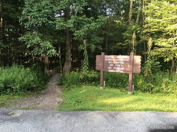
The path veers right to merge into the Appalachian Trail (WHITE) south. [Heading left will head north on the AT instead].
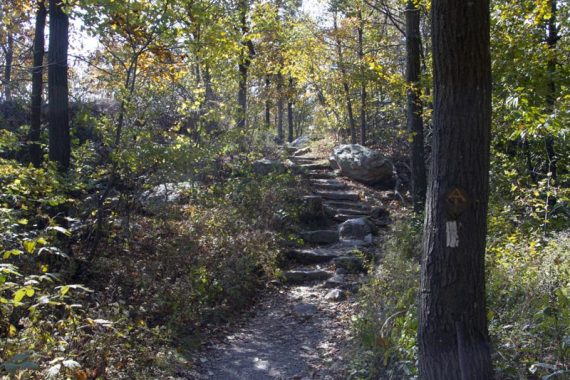
Soon, turn LEFT for a side trail to a viewpoint that is slightly different, and probably more open now, than the view coming up from at the pavilion.
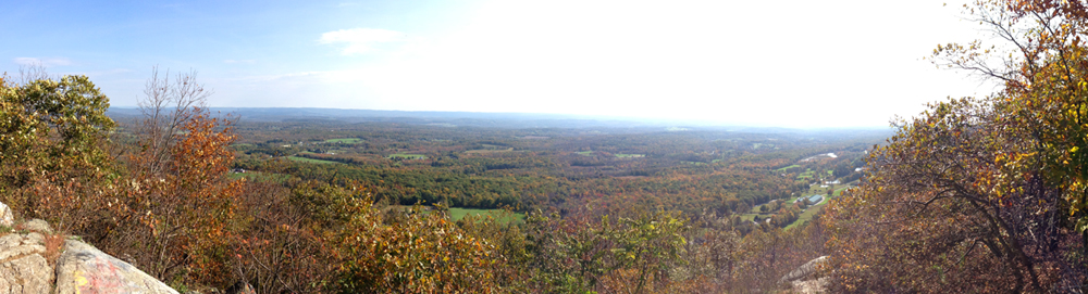
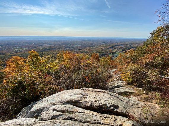
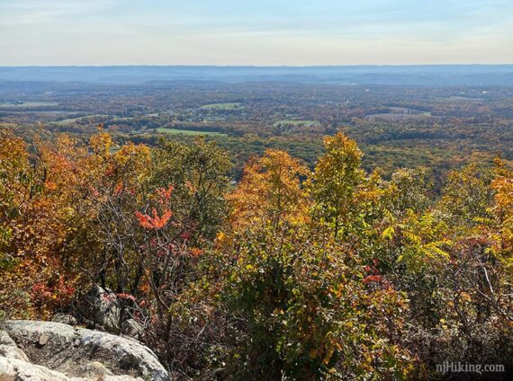
Continue following Appalachian Trail (WHITE) and soon head up to approach a large pavilion.
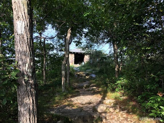
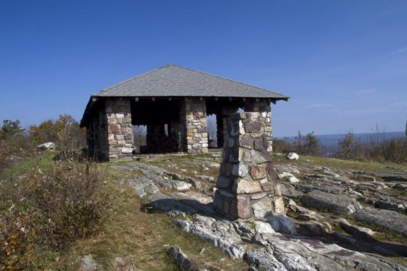
0.2 – Walk through the large stone pavilion. There are views from the pavilion and both sides of the ridge, though somewhat obscured with brush.
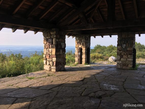
Looking out from the pavilion.
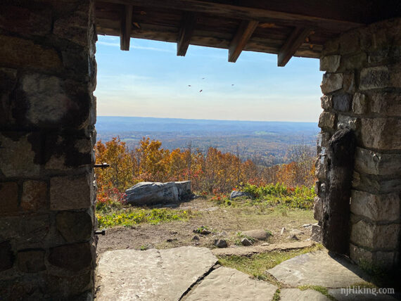
Sunrise Pavilion Fun Facts: The Civilian Conservation Corps (CCC) built Sunrise Mountain Road, erected pavilions, lean-tos, and cabins, dammed streams to create Lake Ocquittunk and Skellinger Lake, and planted hundreds of trees throughout the forest from 1933 to 1942. [Source: Park site.]
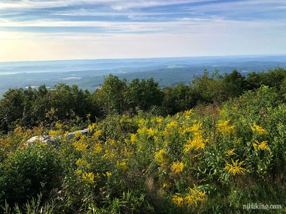
There are views on either side of the ridge, looking over New Jersey.
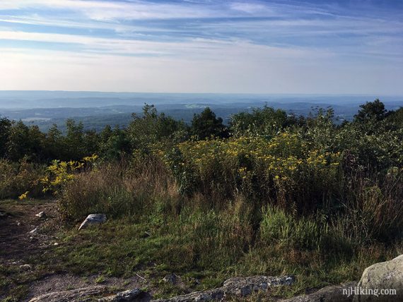
The other side is a little more limited by shrubbery (“… not another SHRUBBERY!”). View to the west from the pavilion:
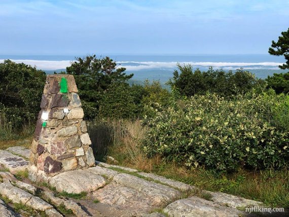
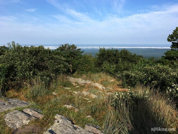
Continue following the Appalachian Trail (WHITE) – just after the pavilion the trail veers to the left if facing the direction of travel (south). [A trail appears to go toward the stone pillar but that’s not it.]
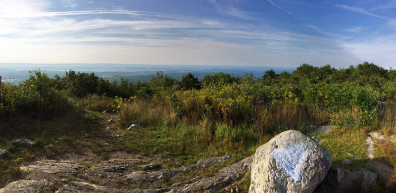
1.0 – Continue on Appalachian Trail (WHITE) as it heads downhill for about a half mile, then briefly heads up a bit and back down before passing Tinsley (YELLOW) on the right.
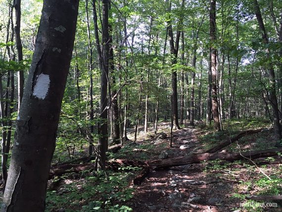
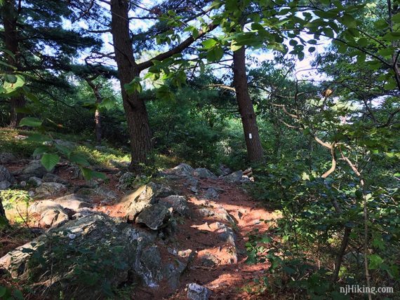
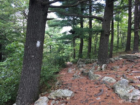
1.2 – Turn RIGHT on a short unmarked side trail to a view with a large rock to sit on. While the turn is easy to miss, it is just after this point, right after the tree with marker in the photo below.
This viewpoint faces the opposite direction as Sunrise Mountain and looks over Stokes State Forest and on to Pennsylvania.
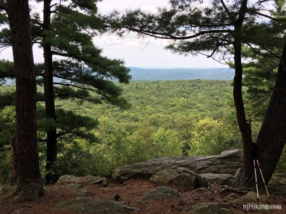
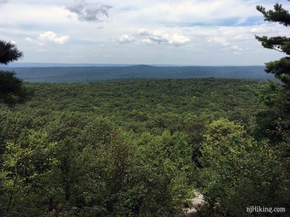
Sunrise Mountain Road is actually just below this viewpoint. Return to the Appalachian Trail (WHITE) and turn RIGHT to continue.
2.5 – Continue on Appalachian Trail (WHITE). Head gradually downhill until passing Stony Brook (BROWN) on the right, then head back uphill.
Pass a small pool of water off on the left and traverse some wet areas on planks and stone steps.
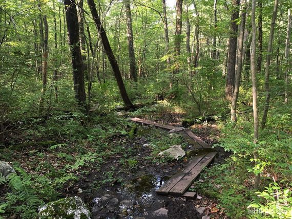
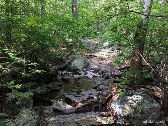
3.5 – Pass Tower (Green) on the right and then arrive at the Culver Fire Tower.
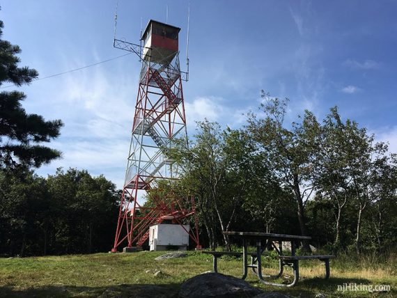
Views with a rock slab and picnic table make for a good break spot. When we last hiked this, the picnic table had been moved under a tree for shade.
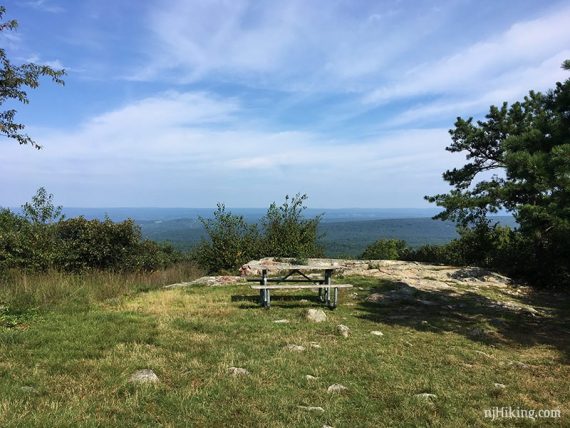
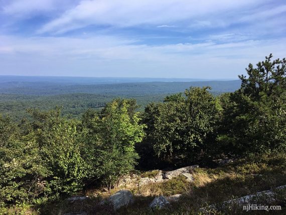
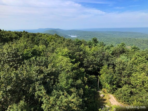
Looking at the route ahead towards Culvers Gap and Appalachian Trail south.
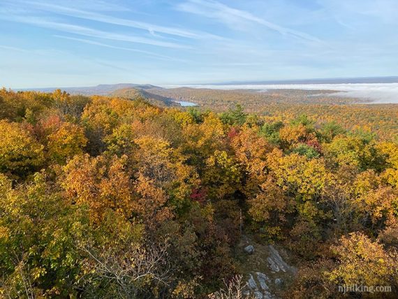
Same direction but with brilliant fall foliage. Kittatinny Lake can be seen below the “Acropolis” hill. This is a bit past the Culver’s Gap parking lot.
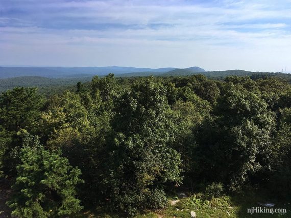
Looking at the route behind, over Stokes State Forest into High Point State Park.
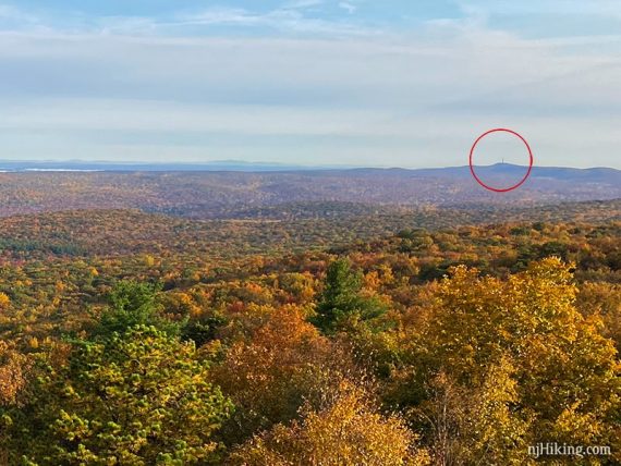
The High Point monument is just visible in the distance.
From the fire tower, continue ahead on Appalachian Trail (WHITE).
// OR turn around to do the 7.0 mile version. Debating it? The view from Culvers Gap is in a different direction but slightly limited by vegetation. //
A wooden post means you’re approaching the end of this route.
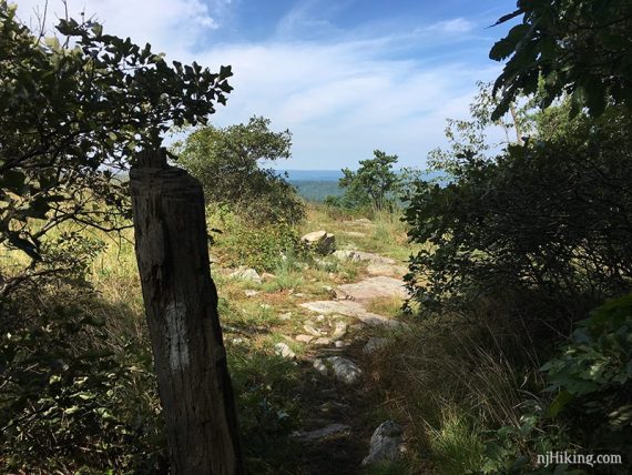
4.6 – Another big view, over Culvers Gap, in two seasons.
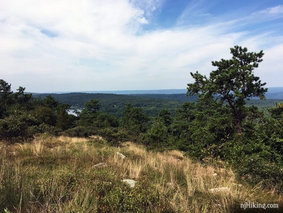
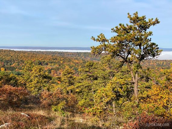
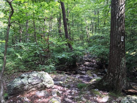
Turn around and retrace the route back on the Appalachian Trail.
—
Hiked: 7/12/26. Sunrise Mountain to Culver Tower.
Hiked: 10/18/20. Culver Gap to Tower / Sunrise Mountain pavilion
Hiked: 8/25/18. Trail Blog: “Sunrise Mountain, Culver Fire Tower, Culvers Gap in Summer“
Hiked: 10/15/17. Trail Blog: “Sunrise Mountain to Culvers Gap in the Fog“