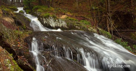
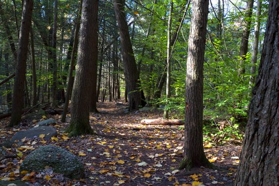
Shady hike in a pretty hemlock forest featuring nice cascades and a cemetery dating to the 1800s.
2.0 miles, dirt and roots, some rocks. A few small wooden bridges. Bit of a hill coming back up from the Lower trail. Suitable for kids about 5 and up.
| 2.0 miles | This hike guide: Detailed instructions, photos, and video follow below. |
| Shorter | Skip hiking to Walpack Cemetery. |
| Longer | Add some of the Maple Trail accessed from the upper area of the ravine. |
| Nearby | –Add a 2nd short hike at Silver Spray Falls or Van Campens Glen. –Stop at Buttermilk Falls too (can be seen from the lot, without a hike). |
| Nearby | Blue Mountain Loop – Lower; Culvers Gap to Blue Mountain; Stony Lake Loop; Sunrise Mountain; Blue Mountain Lake Loop; Crater Lake and Hemlock Pond Loop; Crater Lake to Blue Mountain. |
Our two cents:
Short hike through a shady, hemlock-lined ravine. It’s worthwhile and enjoyable to include the hike to Walpack Cemetery – but it can be driven to if you’d like to see it without hiking (and you’ll drive by it depending on how you come in).
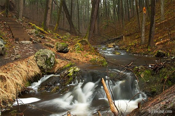
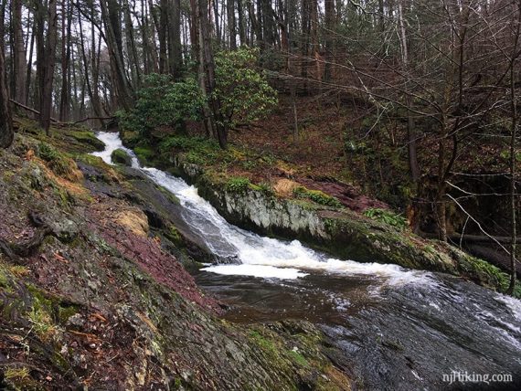
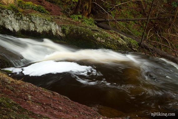
One of the highlights is where water rushes down a slanted rock and swirls into a natural rock bowl called the “Tea Cup”.
Extend your visit with a stop at nearby Buttermilk Falls (can be seen from a parking area, without a hike) and/or add a 2nd short hike at Silver Spray Falls or Van Campens Glen.
Updated: 3/2026 – Minor edits, not-re-hiked. Older change log at page bottom.
Hike Info:
Map/Books:
Detail of the area is now on the park map, print ahead or pick up at the office. The trail is on Kittatinny Trails, but it’s small.
Bonus historical map: Historical Tillman Ravine Map, 1962 – via Rutgers Special Collections. Brief entry in Kittatinny Trails.
Parking:
GPS: “Tilman Rd, Branchville, NJ 07826” goes a point between the upper and lower parking lots. Google shows the road with only one L in Tillman, but on the park map the road is “Dimon”.
The lots are linked by a trail, so park at either:
N41.15842° W74.85861° [Upper lot – GPS: “Tillman upper parking“]
N41.15678° W74.86218° [Lower lot – GPS: “Tillman Ravine“]
Related: Waterfalls in NJ / Best Waterfall Hikes in NJ
Restrooms:
Rustic latrine at each parking lot.
Hike Directions:
Overview: WHITE – GREEN CIRCLE on WHITE (looks blue on map) – WHITE
This is more of a meander around short hike and it would be overkill to give specific step-by-step directions.
Overall, the area is small and easily navigated with an Upper and Lower WHITE trail, and the Cemetery Trail leading off past the Teacup.
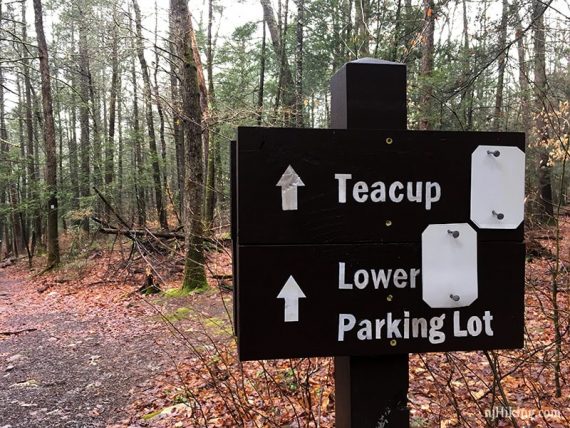
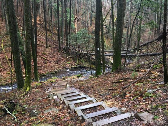
The way the trails are marked makes it difficult to describe as well but to give an idea, we usually do:
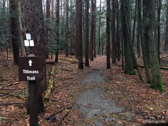
From the Upper parking lot, follow WHITE blazed Tillmans trail in the left corner of the lot.
The trail turns RIGHT away from the trailhead for the Maple Trail.
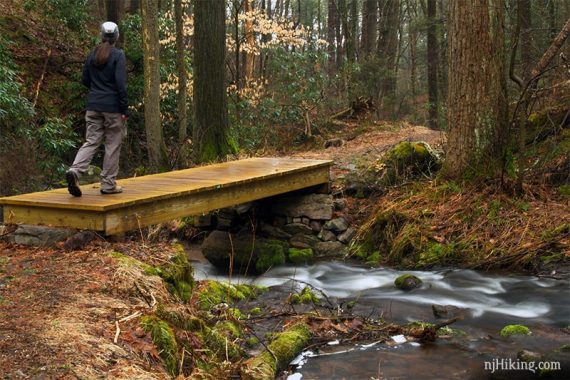
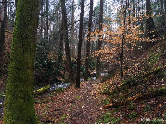
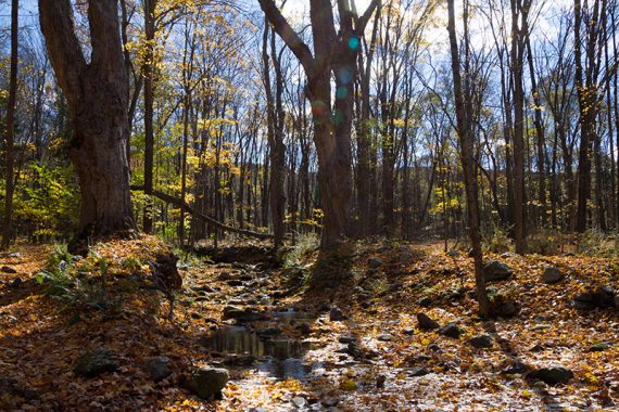
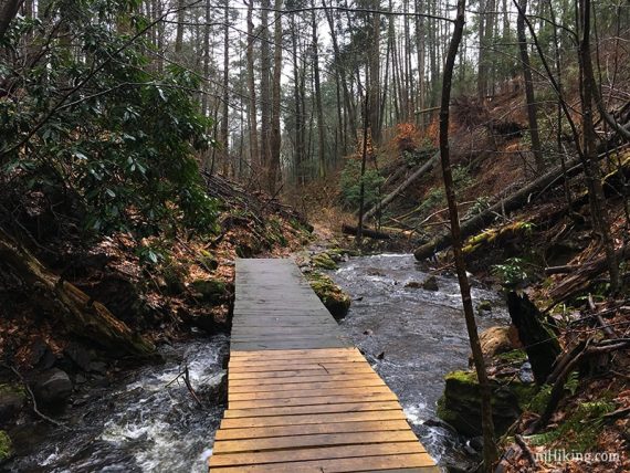
Follow the Lower trail over bridges and along the stream until it heads back uphill.
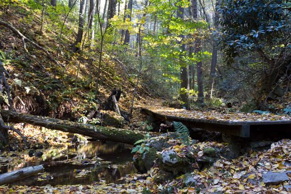
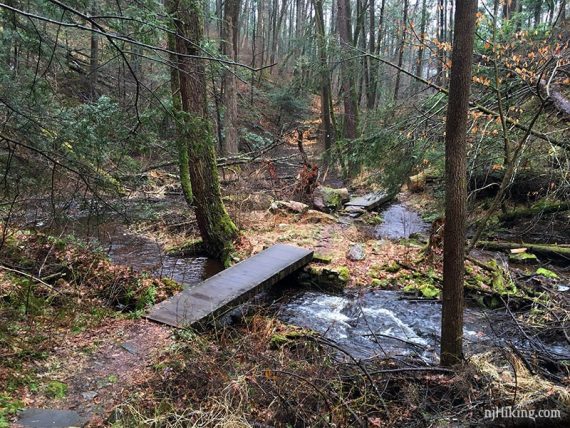
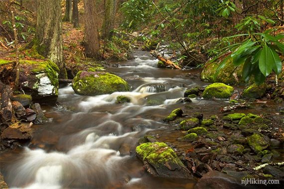
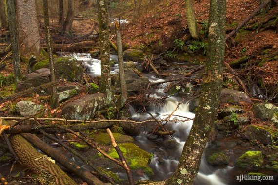
Lots of water cascading over rocks all through the ravine.
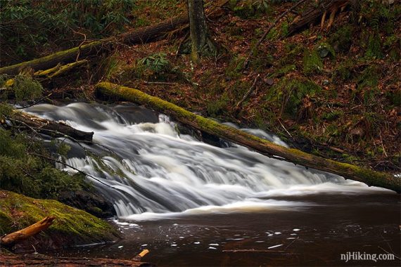
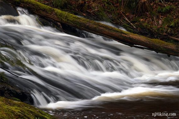
The trail keeps meandering along Tillman Brook.
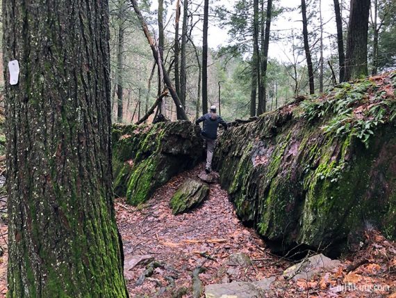
Bit of a climb up a crack in a short rock face.
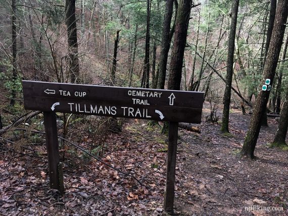
At the sign for the Cemetery trail and the Teacup, check out the Tea Cup first – a swirling cascade.
The “Tea Cup” – Spring of 2019, lots of water.
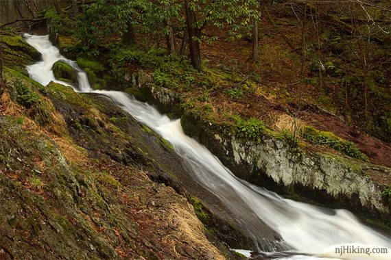
Close up of the swirling water pooling in the Tea Cup.
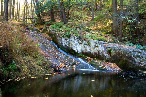
The Tea Cup with less water flow, Fall of 2015.
Follow the Cemetery trail until reaching a dirt road.
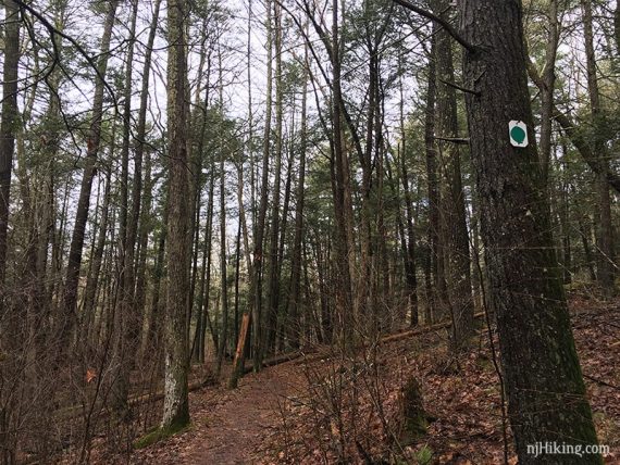
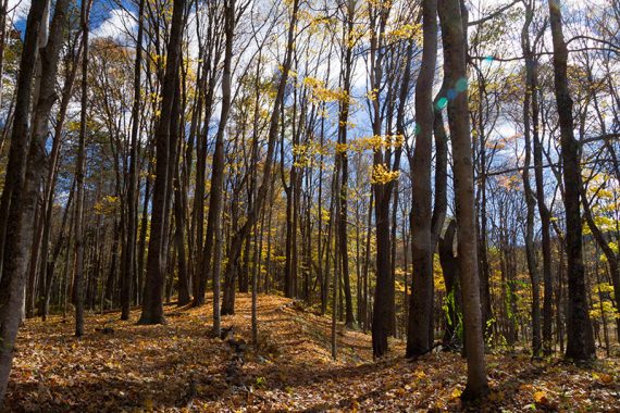
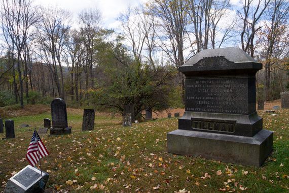
Turn RIGHT and walk a little bit down the road to the Cemetery.
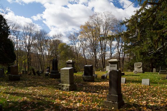
Headstones date to the 1800s.
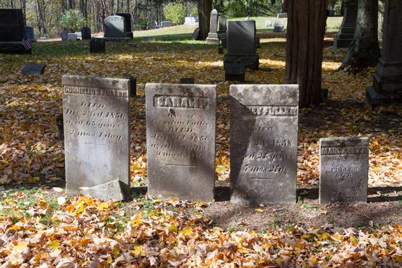
Large headstone for Tillman family.
When done at the cemetery, retrace the route back to Tillman Ravine.
Take the trail uphill to the Lower lot, walk through it to pick up the trail at the other end of the lot and head back to the Upper lot.
—
Hiked: 10/31/21. Partial for photos; with Buttermilk and Van Campens
Hiked: 4/13/19. Tillmans only.
Hiked: 10/18/15. Trail Blog: “Tillman Ravine in Fall“
Hiked: 5/1/11. Trail Blog: “Tillman Ravine and Walpack Cemetery in May“
—
Updated: 6/2025 – Minor edits. 10/2021 – Partially re-hiked for photos. 7/2021 – Page refreshed, not re-hiked. Enhanced parking info. 4/2019 – Re-hiked Tillmans only; added photos after heavy rain; updated description, blazes are all rectangular with no triangles now; added GPX/Interactive Map; archived outdated map photos to 2015 trail blog. Update 8/2017– New park map link added.