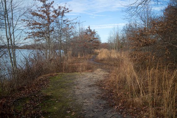
Easy trail that skirts the edge of Lake Mercer, travels through woods and along fields and streams.
5.0 miles, easy surface: packed dirt, some roots/mud, mostly level.
| 5.0 miles | This hike guide: Detailed instructions and photos follow below. |
| Nearby | Institute Woods; Mountain Lakes Open Space Princeton; Clayton Park; Perrineville Lake Park; Union Transportation Trail; Carnegie Lake Kayak. |
Our two cents:
While we normally avoid built-up parks like this, the eastern section of the park loop is all trails and is quite nice. This trails in this park are biking-focused. It is a little confusing/vague in spots so check the notes below.
Updated: 7/2025 – Page refreshed, minor edits, not re-hiked. We needed to use 3 maps when we hiked this but 2 of those are outdated so mentions of them have been removed. Originally hiked in 2015 so there are differences from this description.
Hike Info:
Map/Books:
Print out ahead, none at trail head. A different section of the park is in 60 Hikes Within 60 Miles: Philadelphia.
Parking: N40° 15.670′ W74° 37.218′
Mercer County Park East Picnic Area. 1346 Edinburg Rd, Princeton Junction, NJ 08550. East Picnic Area. Large lot.
Restrooms:
Building at the parking lot, and should be at all lots in the park. May be closed in “freezing weather”.
Hike Directions:
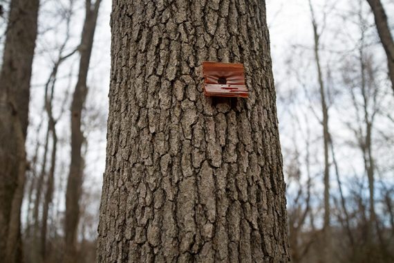
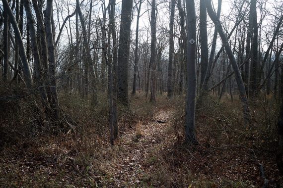
This park is difficult to give detailed directions – trail markers are few and far between. The easiest course of action is to ignore the RED trail entirely and just follow BLUE around the park, to the power line cut, and then a road walk:
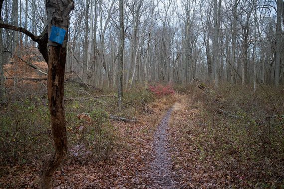
0.0 – Walk back out of the parking lot, turning LEFT and following the paved park road towards it’s dead end, where the BLUE trail starts, and start following the BLUE trail.
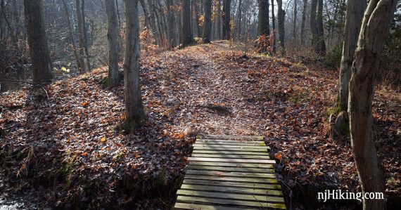
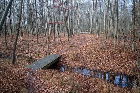
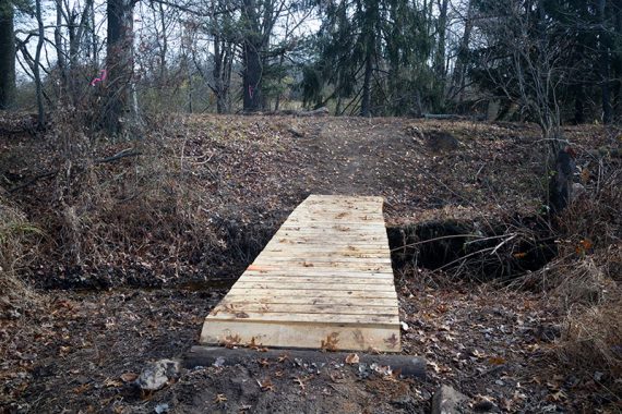
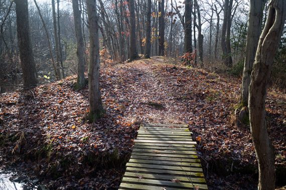
0.3 – Continue straight on BLUE when the RED trail crosses. There are a few bridges.
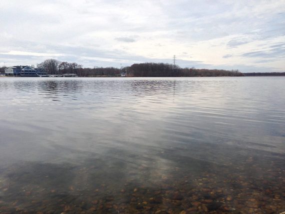
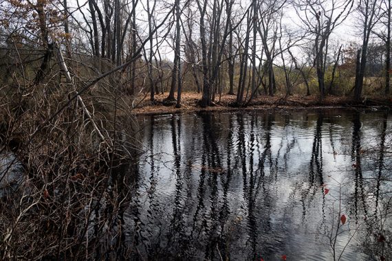
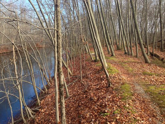
1.3 – The trail nears Lake Mercer and follows along the water to a Rowing Center building.
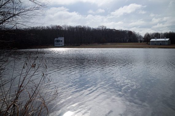
Walk around the Rowing Center to the driveway (the map shows to go around the back but we saw no path). Walk down the paved driveway.
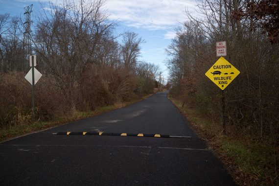
1.7 – Turn RIGHT down the driveway and walk past a wildlife crossing sign.
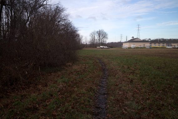
Watch for a trail on the RIGHT and re-enter the woods. It’s still the BLUE trail but it may have been awhile since you’ve seen a marker.
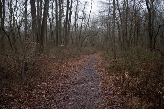
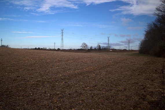
The BLUE trail skirts the edges of fields and comes near the road a few times.
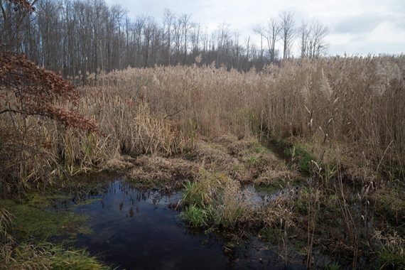
3.9 – The trail goes around the edges of water/ponds, the trail arrives at the power line.
4.2 – Cross the power line and turn left, following the power line.
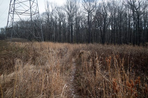
Pass a trail on the right and then another one marked “A”.
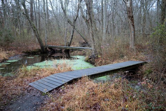
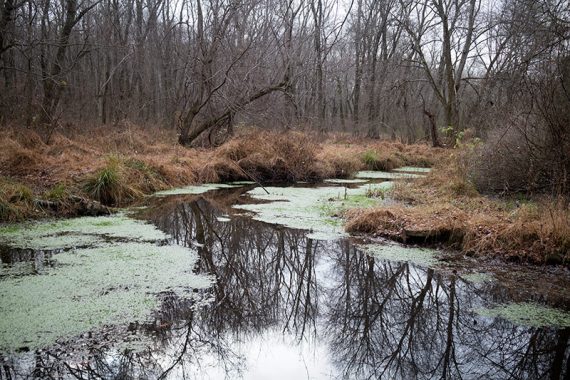
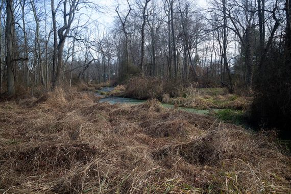
These trails lead into the woods to a muddy swampy area and eventually to a wide stream that is not passable; thusly:
Keep following the power line cut out, turn right over a small bridge onto Brundtsfield Drive, left on Darvel Drive.
Right on Edinburg Rd. and then right back into the park entrance.
—
Hiked: 11/29/15.